Explore the Map
Panionium
37.7127° N, 27.2350° E
About
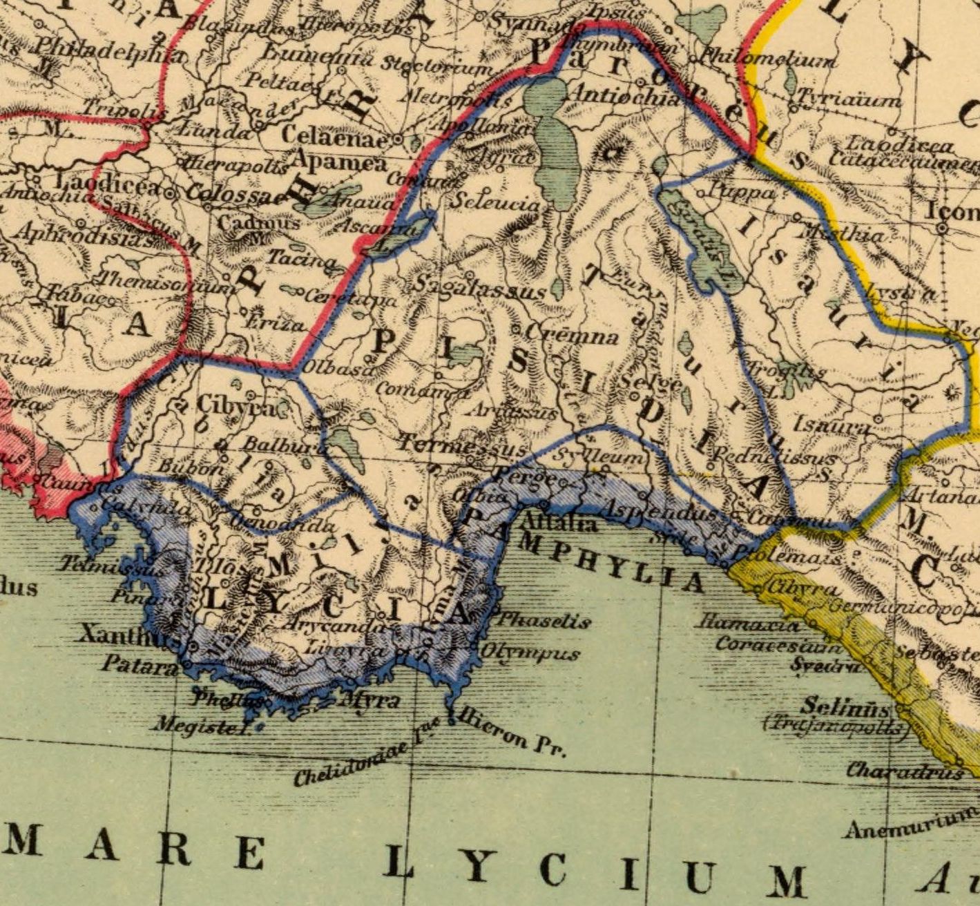
The Panionium (Ancient Greek: Πανιώνιον, Paniōnion) was an Ionian sanctuary dedicated to Poseidon Helikonios and the meeting place of the Ionian League. It was on the peninsula of Mt. Mycale, about 100 kilometres (62 mi) south of Smyrna—now İzmir, in Turkey. Herodotus describes it as follows:The Panionion is a sacred ground in Mykale, facing north; it was set apart for Poseidon of Helicon by the joint will of the Ionians. Mykale is a western promontory of the mainland opposite Samos; the Ionians used to assemble there from their cities and keep the festival to which they gave the name of Panionia. The sanctuary was under the control of the Ionian city of Priene, one of the twelve cities comprising the Ionian League. Priene was about 15 kilometres (9 mi) away, on the opposite side of Mt. Mycale. The Prienians managed the sanctuary and presided at the sacrifices and sacred rites. The Panionium was the site of the Ionian religious festival and games (panegyris) called the Panionia (πανιώνια). Under Persian rule, activities at the Panionium were curtailed. Writing at the end of the 5th century BC, Thucydides says that the Ionians were then celebrating their festival at Ephesus. Diodorus writes that the Ionians were forced to move the Panionia from the Panionium to Ephesus, because of war in the surrounding area. Under Alexander the Great the games and festival were again held at the Panionium, and continued to be so under Roman rule, without however, regaining their previous importance.
Historical Timeline
Journey through time and discover key events in this site's history
altar_dated
end of 6th century BCE
thucydides_account
end of 5th century BCE
odeum_dated
4th century BCE
inscription_found
1673
Wiegand_discovery
late 19th century
Wiegand_excavation
1958
lohmann_discovery
2004
archaic_temple_excavated
2005
Archaeological Features
Unique architectural and cultural elements found at this historical site
Defensive Structures
Public and Civic Structures
Religious and Ritual Structures
Artistic and Decorative Features
Domestic and Habitation Structures
Environmental and Natural Features
Frequently Asked Questions
Plan Your Visit
Tours, travel arrangements, and practical information


More Sites in Turkey
Larissa Phrikonis
Aeolian city ruins in western Turkey
Lysinia
Ancient town in Pisidia, later Pamphylia.
Blaundus
Hellenistic city ruins in western Anatolia, Turkey
Euromus
Ancient Carian city and temple, 6th century BCE
Carchemish
Ancient capital ruins on the Euphrates, Turkey–Syria border
Kuşkayası Monument
Roman roadside monument, Roman Imperial era in Turkey