Explore the Map
Typallia
36.8075° N, 30.4447° E
About
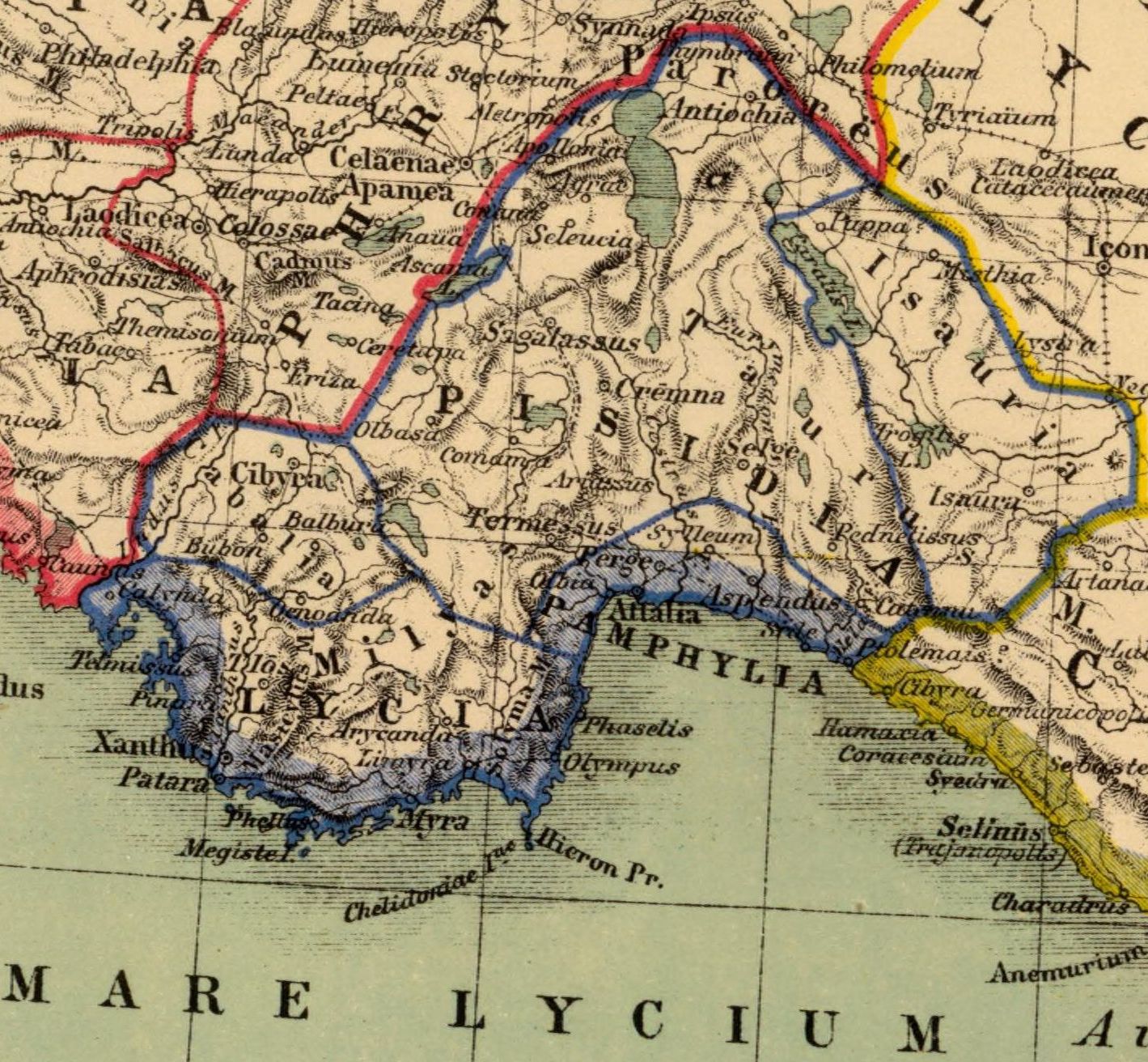
Typallia was a town of ancient Lycia. Its site is located on a rocky hill called Asarlık Tepe near the modern village of Çitdibi. It is on the ancient road between Trebenna and Kitanaura as is clearly recorded on the Miliarium Lyciae. The inscriptions on the sarcophagi record the name of the settlement which was localised for the first time by İplikçioğlu. He also determined that the settlement formed a sympoliteia together with Termessos. The acropolis is on top of the hill and on its south slopes is the settlement. The entrance to the acropolis is cut into the bedrock. On the southeast slope of the acropolis are the reasonably well-preserved baths, still standing to the level of the upper walls. It comprises three rooms side by side and is a good example of Roman period provincial baths. The walls were plastered inside and out and the white marble plaques and marble plate fragments establish beyond doubt the function of this building.
Archaeological Features
Unique architectural and cultural elements found at this historical site
Public and Civic Structures
Burial and Funerary Structures
Artistic and Decorative Features
Domestic and Habitation Structures
Environmental and Natural Features
Transportation and Communication Structures
Frequently Asked Questions
Plan Your Visit
Tours, travel arrangements, and practical information


More Sites in Turkey
Euromus
Ancient Carian city and temple, 6th century BCE
Lysinia
Ancient town in Pisidia, later Pamphylia.
Larissa Phrikonis
Aeolian city ruins in western Turkey
Blaundus
Hellenistic city ruins in western Anatolia, Turkey
Library of Celsus
Roman library, early 2nd century CE
Çadır Höyük
Artificial mound settlement in Yozgat Province, Turkey