Explore the Map
Argištiḫinili
40.1025° N, 43.9883° E
About
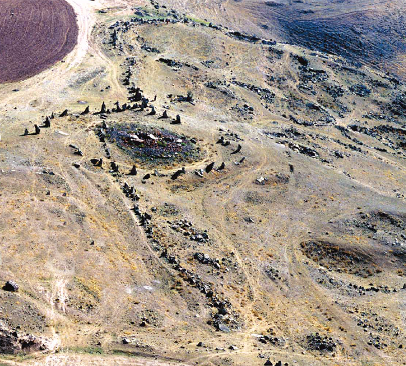
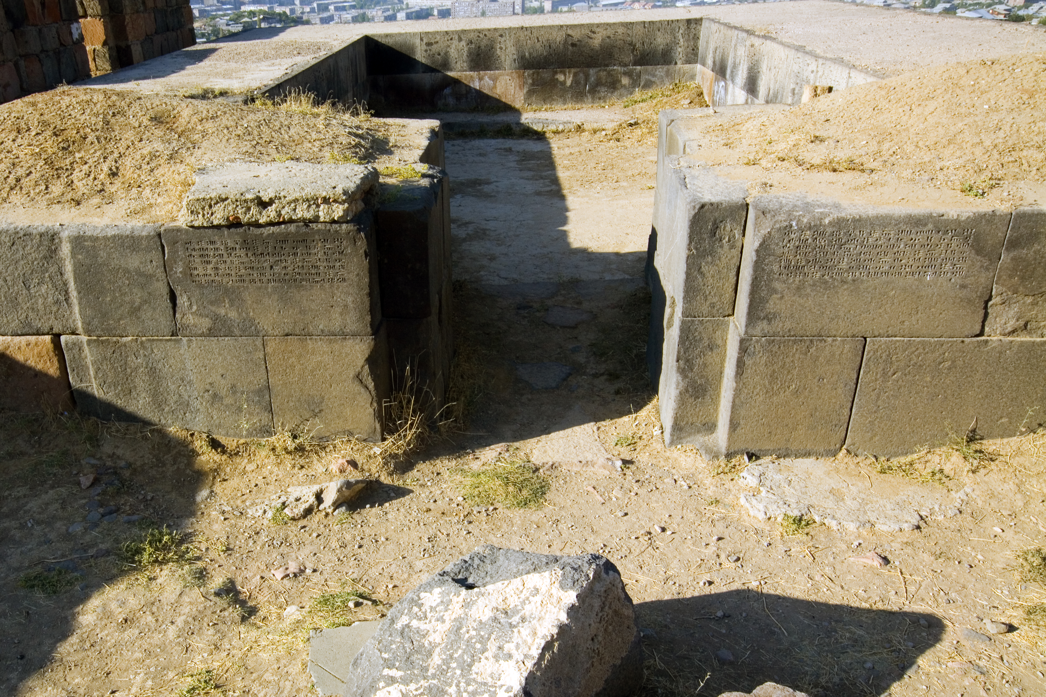
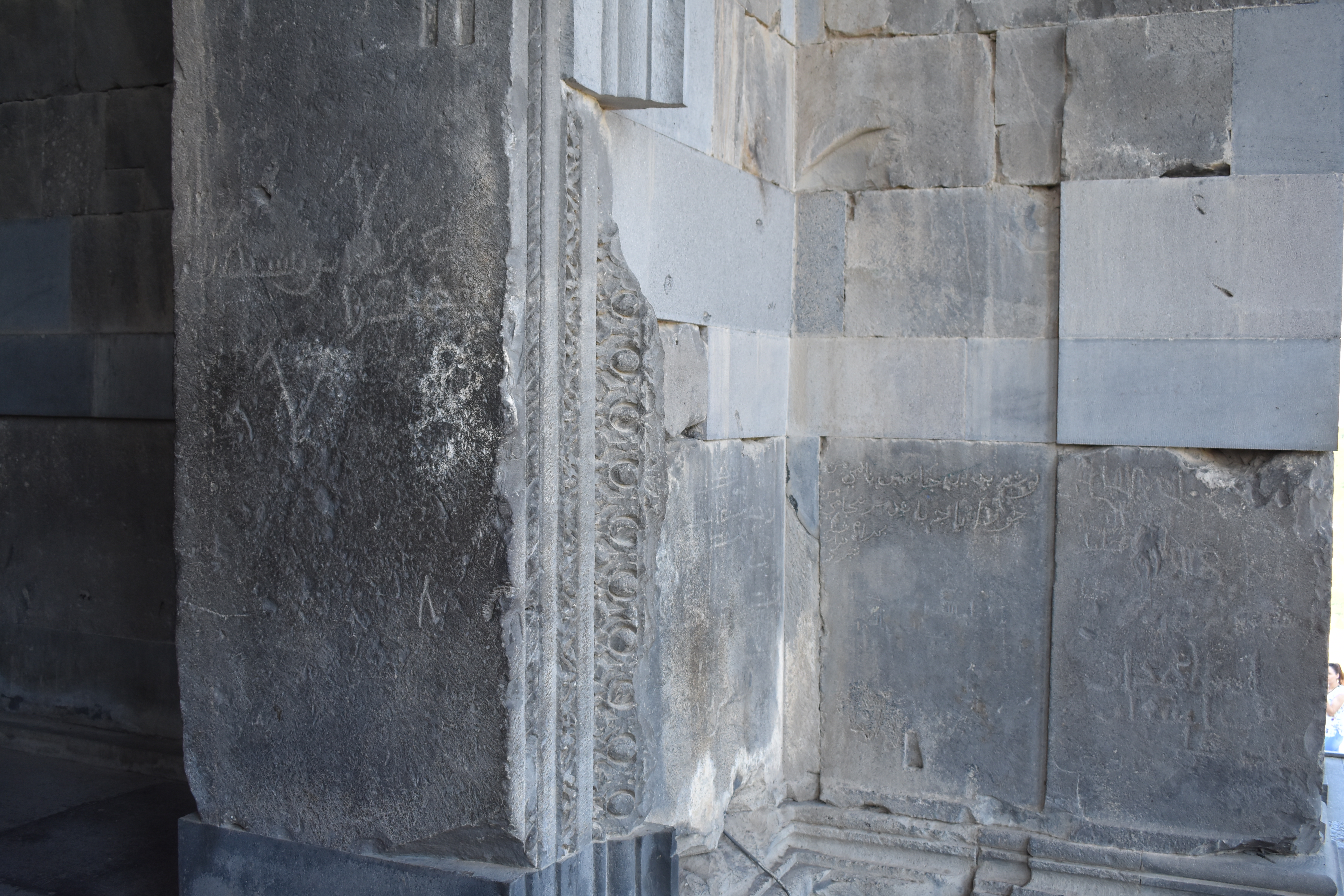
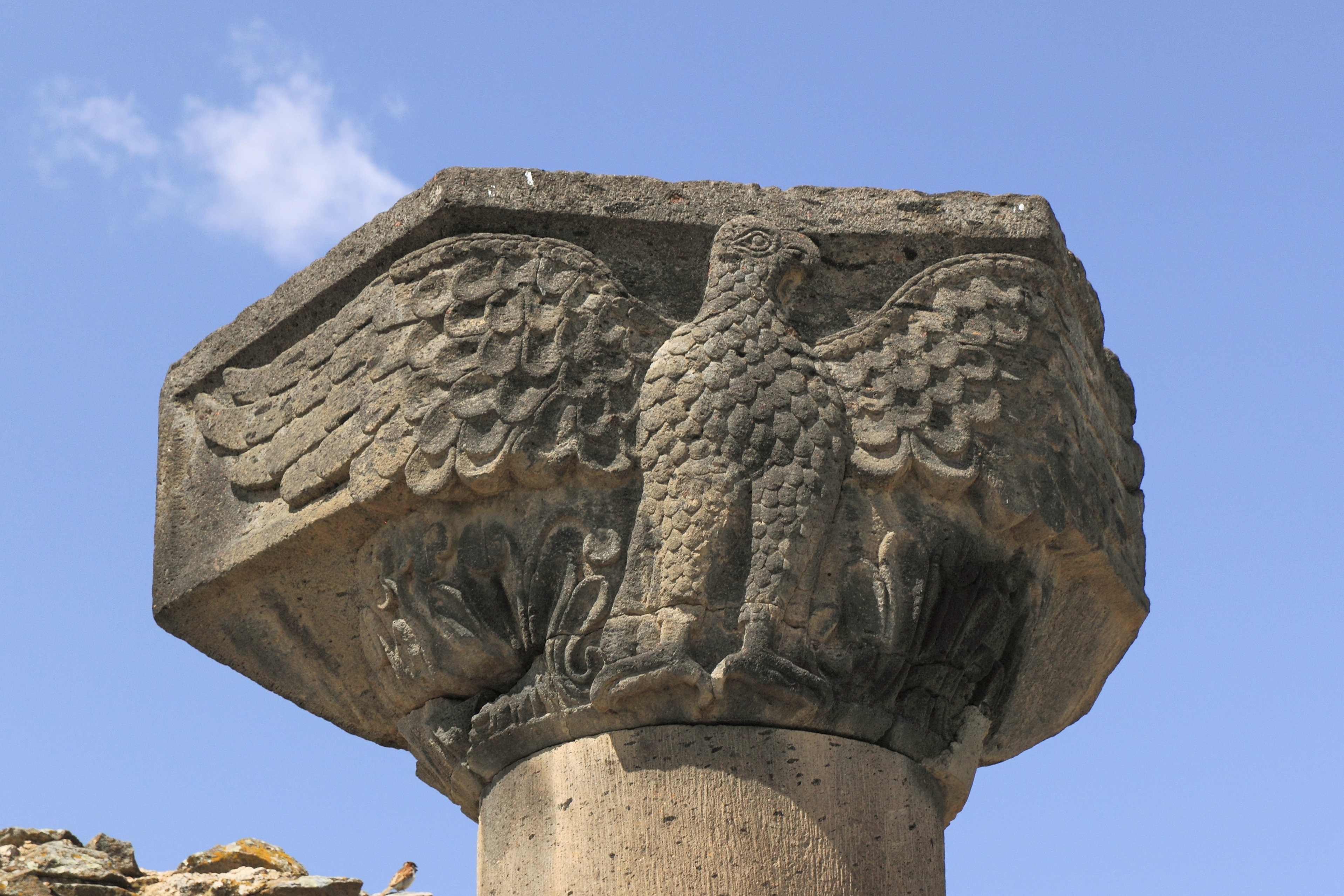
Argištiḫinili (Urartian: ar-gi-iš-ti-ḫi-ni-li) was a town in the ancient kingdom of Urartu, established during the expansion of the Urartians in the Transcaucasus under their king Argishti I, and named in his honour. It lasted between the 8th and 6th centuries BC. The ruins of the Argištiḫinili fortifications are 15 kilometres (9 mi) southwest of the present-day town of Armavir, Armenia, between the villages of Nor-Armavir and Armavir in the Armenian marz of Armavir. The town was founded on the left bank of the middle reaches of the Aras River. Over the centuries, the river channel has shifted to several kilometres south of the town.
Historical Timeline
Journey through time and discover key events in this site's history
Occupation period
8th–6th centuries BC
Argishti I foundation
776 BC
Erebuni fortress founded
782 BC
Argishti's campaigns begin
c. 786 BC
Cuneiform tablets discovered
1869
Early excavations
1880
Nikolsky conjecture
1896
Systematic investigations begin
1927
Major research period
1944–1970
Simultaneous digs
1962–1971
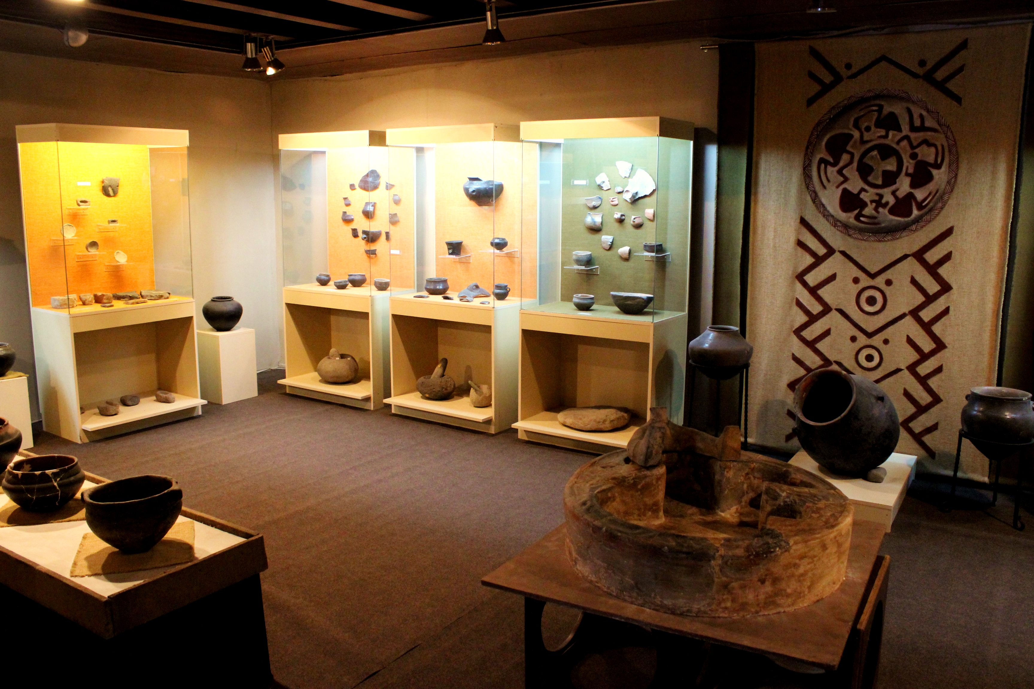
Archaeological Features
Unique architectural and cultural elements found at this historical site
Storage Structures
Defensive Structures
Military Installations
Animal Husbandry Features
Water Management Features
Public and Civic Structures
Industrial and Craft Structures
Religious and Ritual Structures
Artistic and Decorative Features
Agricultural and Land Use Features
Domestic and Habitation Structures
Environmental and Natural Features
Food Production and Processing Features
Transportation and Communication Structures
Frequently Asked Questions
Plan Your Visit
Tours, travel arrangements, and practical information
More Sites in Armenia
Metsamor site
Ancient fortress with religious complex.
Carahunge
Prehistoric stone circle with astronomical alignments.
Shengavit (site)
Early Bronze Age settlement with fortifications.
Erebuni Fortress
Urartian fortified city on Arin Berd hill.
Garni Temple
Greco-Roman colonnaded temple in Armenia
Zvartnots Cathedral
Circular medieval Armenian cathedral ruins