
Explore the Map
Artaxata
39.8850° N, 44.5764° E
About
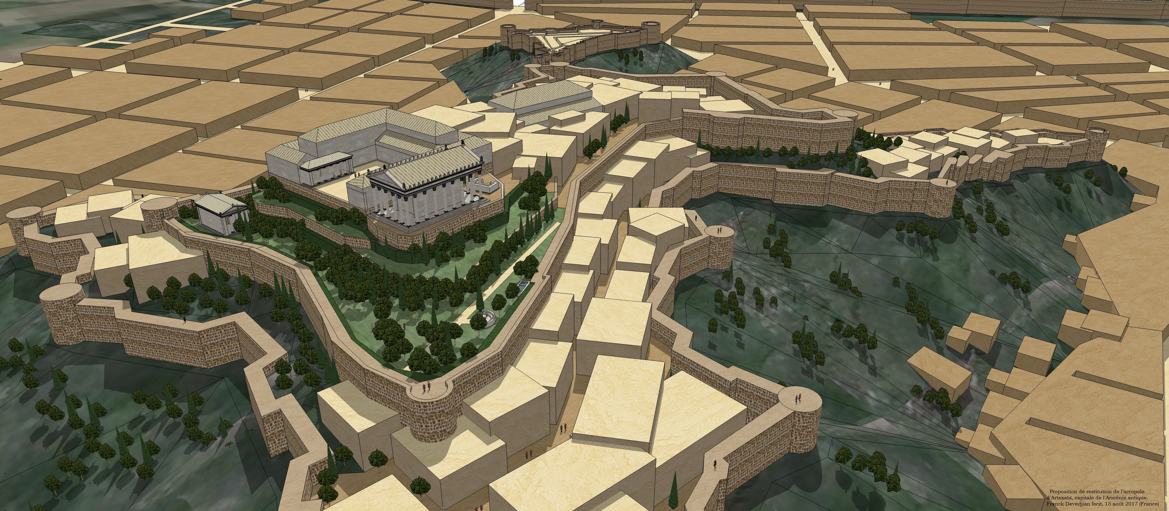
Artaxata, ancient Armenia's vibrant capital from 176 BCE to 120 CE, strategically located on the Araks River, was a hub of Hellenistic culture and commerce. Founded by King Artaxias I, the city featured impressive defensive walls, moats, and a citadel. It flourished with temples, theatres, marketplaces, and administrative buildings, drawing a diverse population of Armenians, Greeks, Jews, and Syrians. Its advantageous position on trade routes linking Persia, Mesopotamia, and the Caucasus enhanced its prosperity. Despite thriving initially, Artaxata faced multiple destructions by Romans and Sasanians, leading to its eventual decline and abandonment by the 5th century CE. Its archaeological remains offer a glimpse into its past grandeur and multicultural legacy.
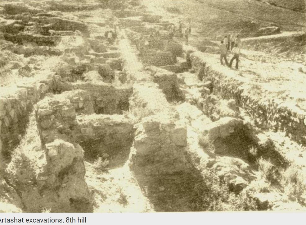
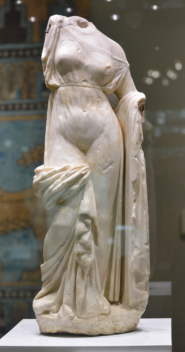
Gallery
Explore photographs of ancient structures, artifacts, and archaeological excavations
Historical Timeline
Journey through time and discover key events in this site's history
Artaxata Founded
176 BCE
Tigranes II's Expansion
69 BCE
Artaxata Rebuilt by Nero
66 CE
Artaxata Destroyed by Romans
163/64 CE
Artaxata Destroyed by Shapur II
360s CE
Artaxata Abandoned
449 CE
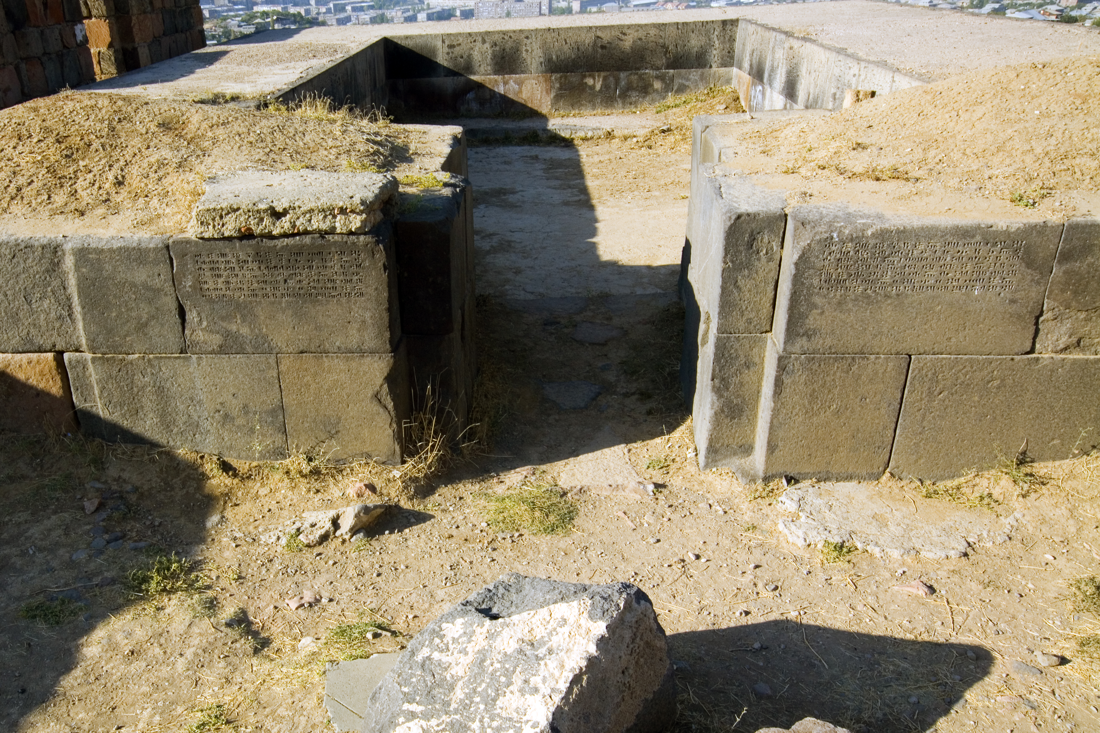
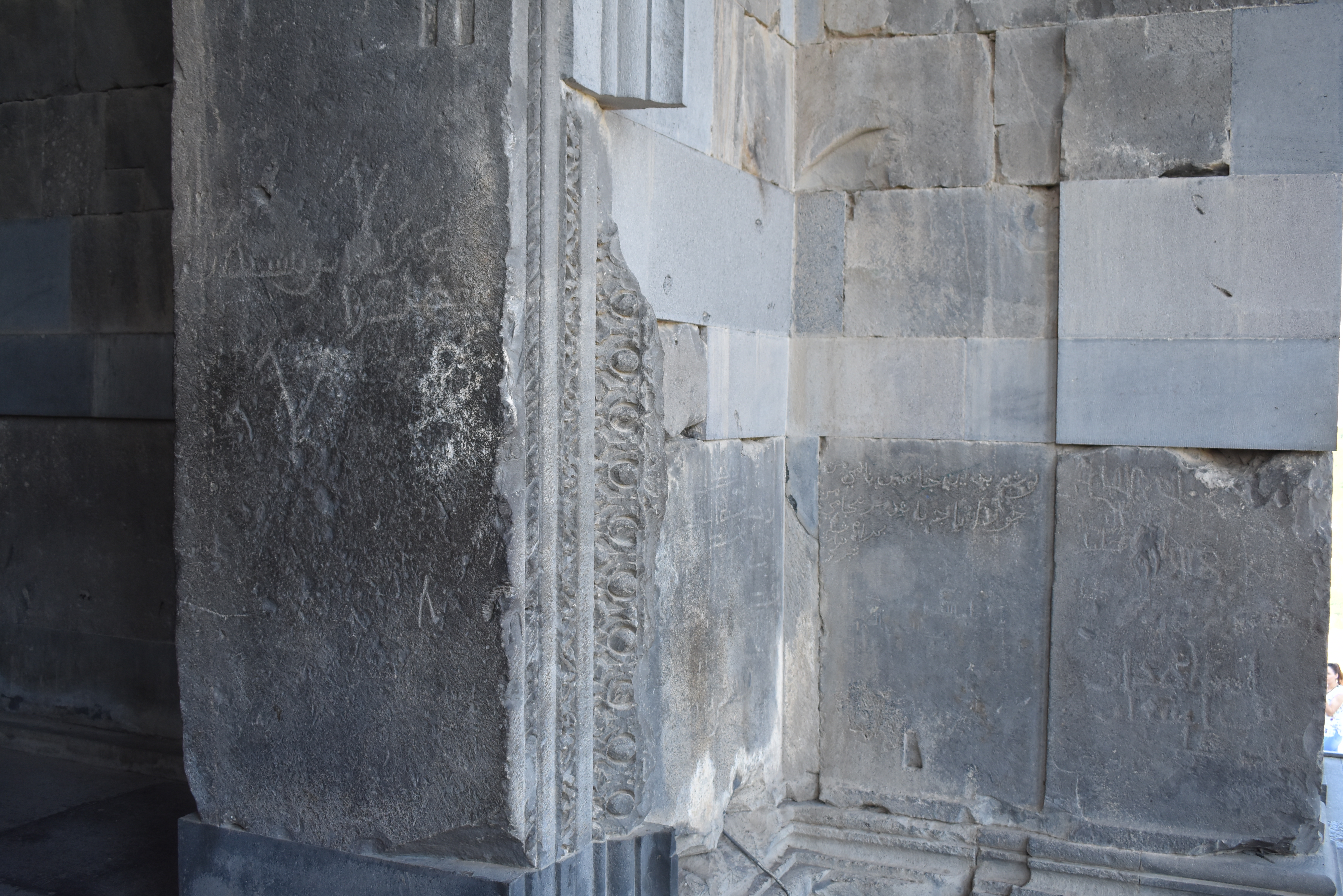
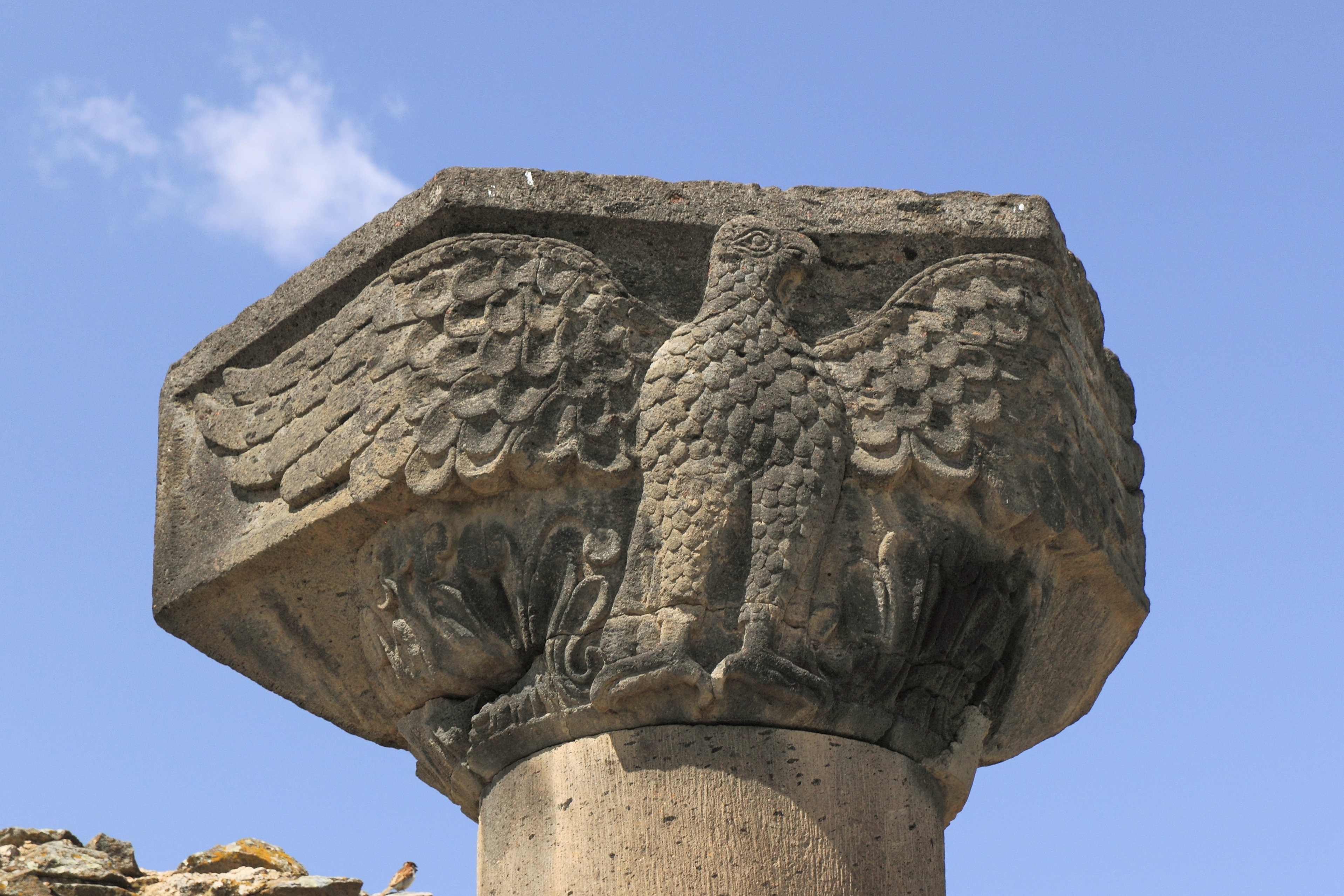
Archaeological Features
Unique architectural and cultural elements found at this historical site
Defensive Structures
Public and Civic Structures
Religious and Ritual Structures
Artistic and Decorative Features
Domestic and Habitation Structures
Transportation and Communication Structures
Frequently Asked Questions
Plan Your Visit
Tours, travel arrangements, and practical information
Recommended Tours

More Sites in Armenia
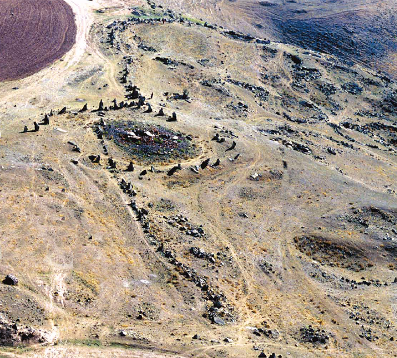
Carahunge
Prehistoric stone circle with astronomical alignments.
Yererouk
Early medieval Armenian basilica on a plateau.
Erebuni Fortress
Urartian fortified city on Arin Berd hill.
Garni Temple
Greco-Roman colonnaded temple in Armenia
Metsamor site
Ancient fortress with religious complex.
Zvartnots Cathedral
Circular medieval Armenian cathedral ruins