
Explore the Map
Carnuntum
48.1133° N, 16.8614° E
About
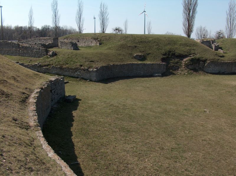
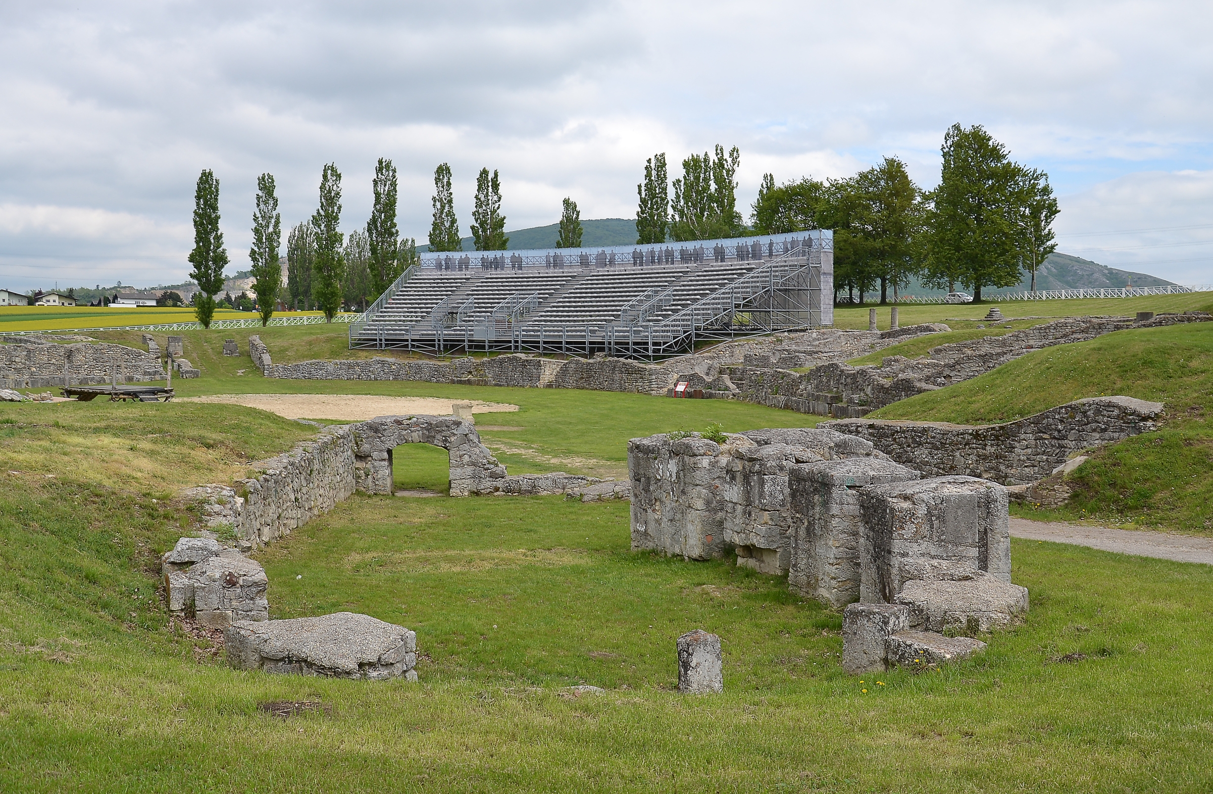
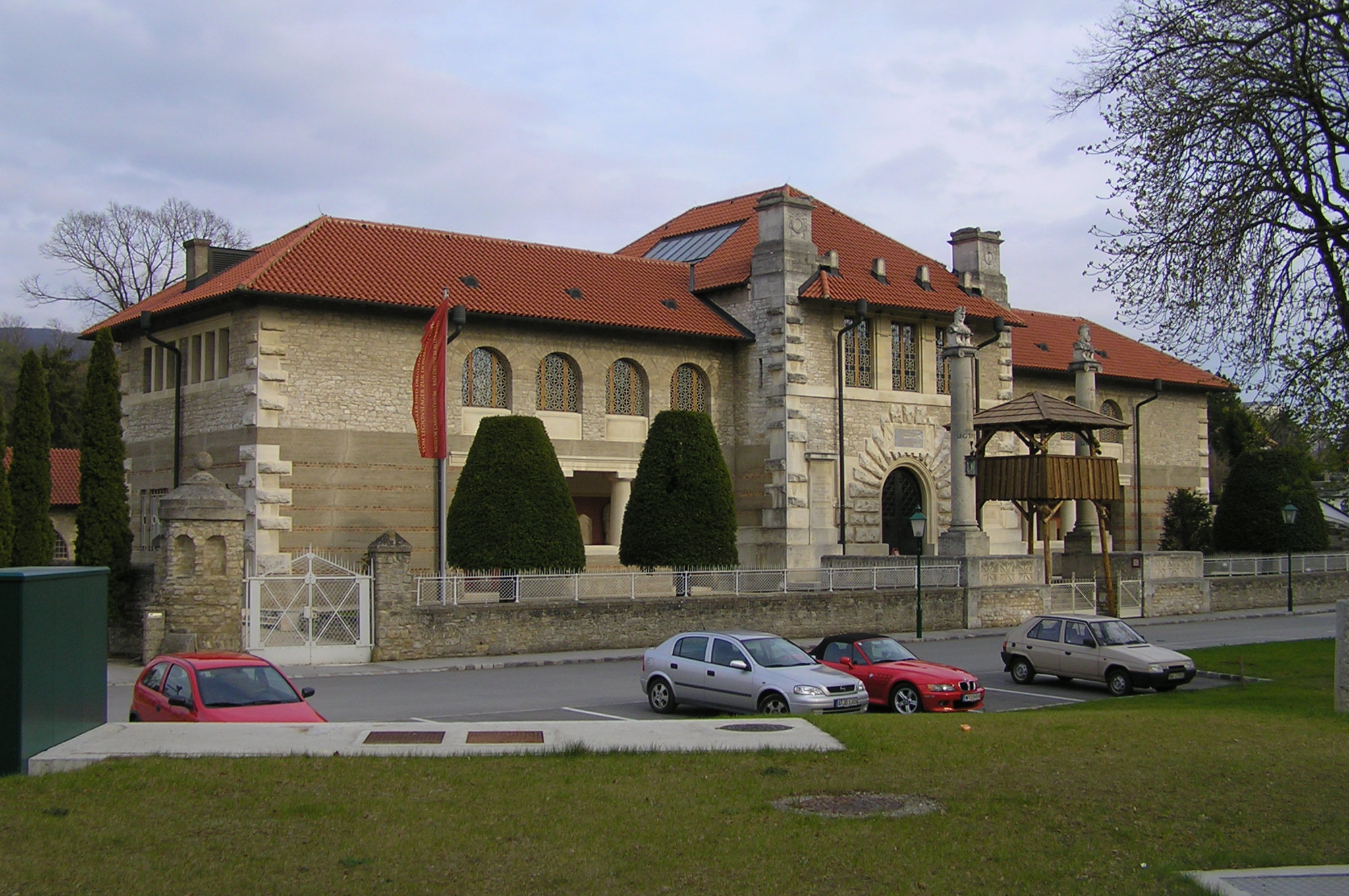
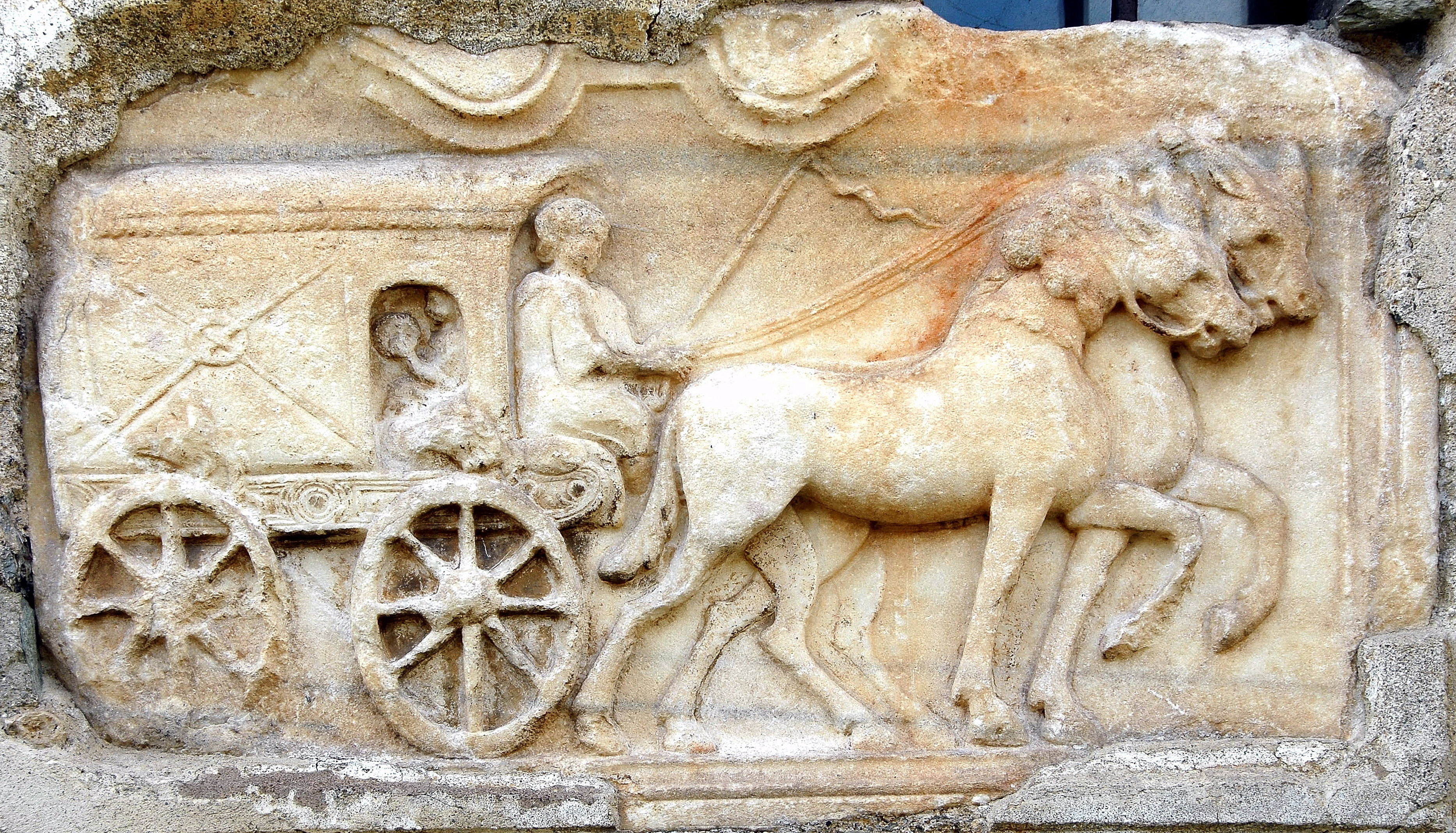
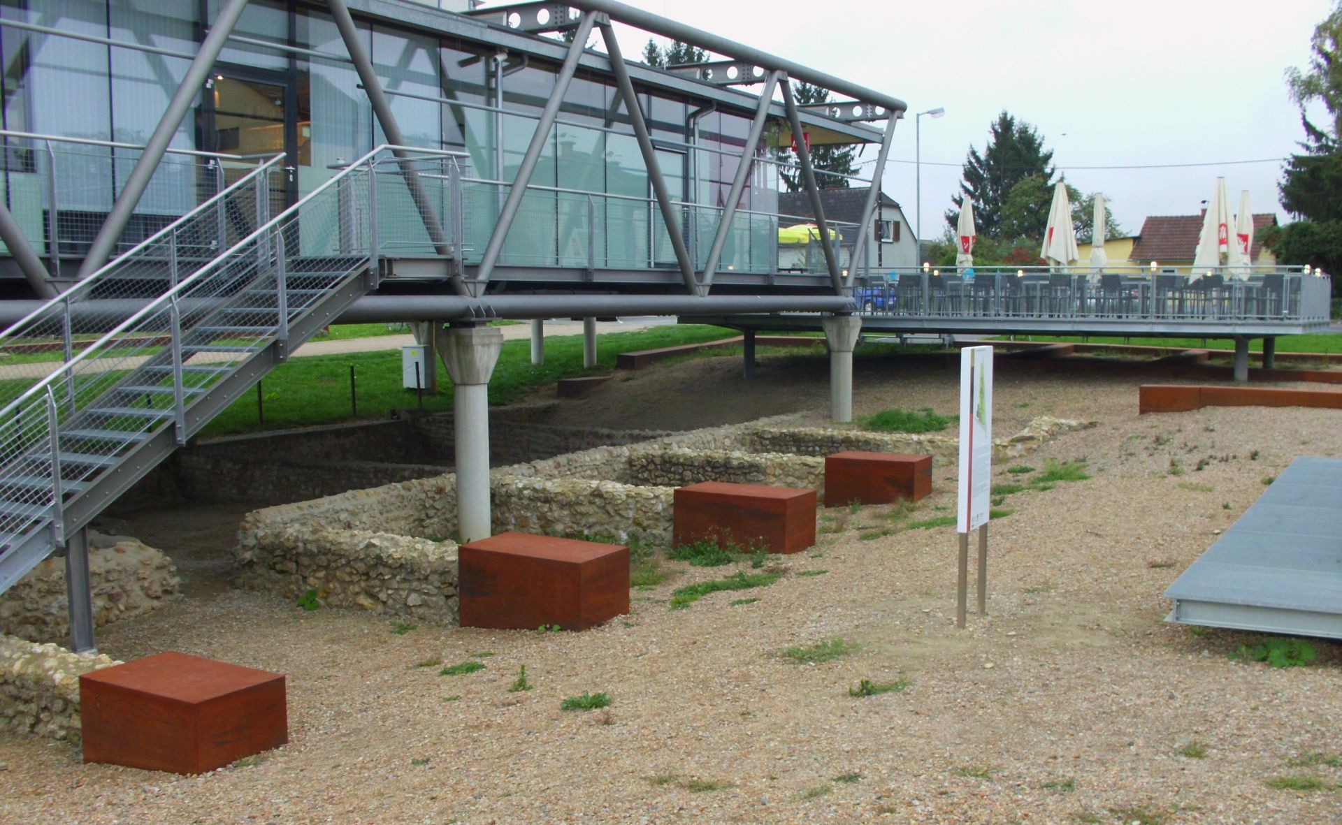
Carnuntum was a significant Roman site located on the Danube River in Lower Austria. Initially established as a military base during the reign of Augustus, it grew into a major Roman city and capital of the Pannonia Superior province. It was a vital hub for military and trade activities, particularly in the amber trade. The city reached its zenith during the Severan dynasty, notable for its economic prosperity and elevation to colony status. Key features included a legionary fortress, civilian city, amphitheatre, and the Heidentor monument. Despite its prominence, Carnuntum suffered severe earthquake damage around 350 CE and was eventually destroyed by Germanic invaders in 374 CE, leading to its decline and abandonment.
Gallery
Explore photographs of ancient structures, artifacts, and archaeological excavations
Historical Timeline
Journey through time and discover key events in this site's history
Augustus establishes Roman fort
6 CE
Legio XV Apollinaris stationed
14 CE
Legio XIV Gemina permanently stationed
117-118 CE
Marcus Aurelius resides
172-175 CE
Earthquake damages Carnuntum
circa 350 CE
Carnuntum destroyed by invaders
374 CE
Archaeological Features
Unique architectural and cultural elements found at this historical site
Storage Structures
Defensive Structures
Military Installations
Miscellaneous Features
Animal Husbandry Features
Water Management Features
Public and Civic Structures
Burial and Funerary Structures
Industrial and Craft Structures
Religious and Ritual Structures
Artistic and Decorative Features
Agricultural and Land Use Features
Domestic and Habitation Structures
Environmental and Natural Features
Astronomical and Timekeeping Structures
Food Production and Processing Features
Transportation and Communication Structures
Frequently Asked Questions
Plan Your Visit
Tours, travel arrangements, and practical information
More Sites in Austria
Virunum
Roman provincial city in Carinthia, Austria
Teurnia
Roman city with churches and mosaics.
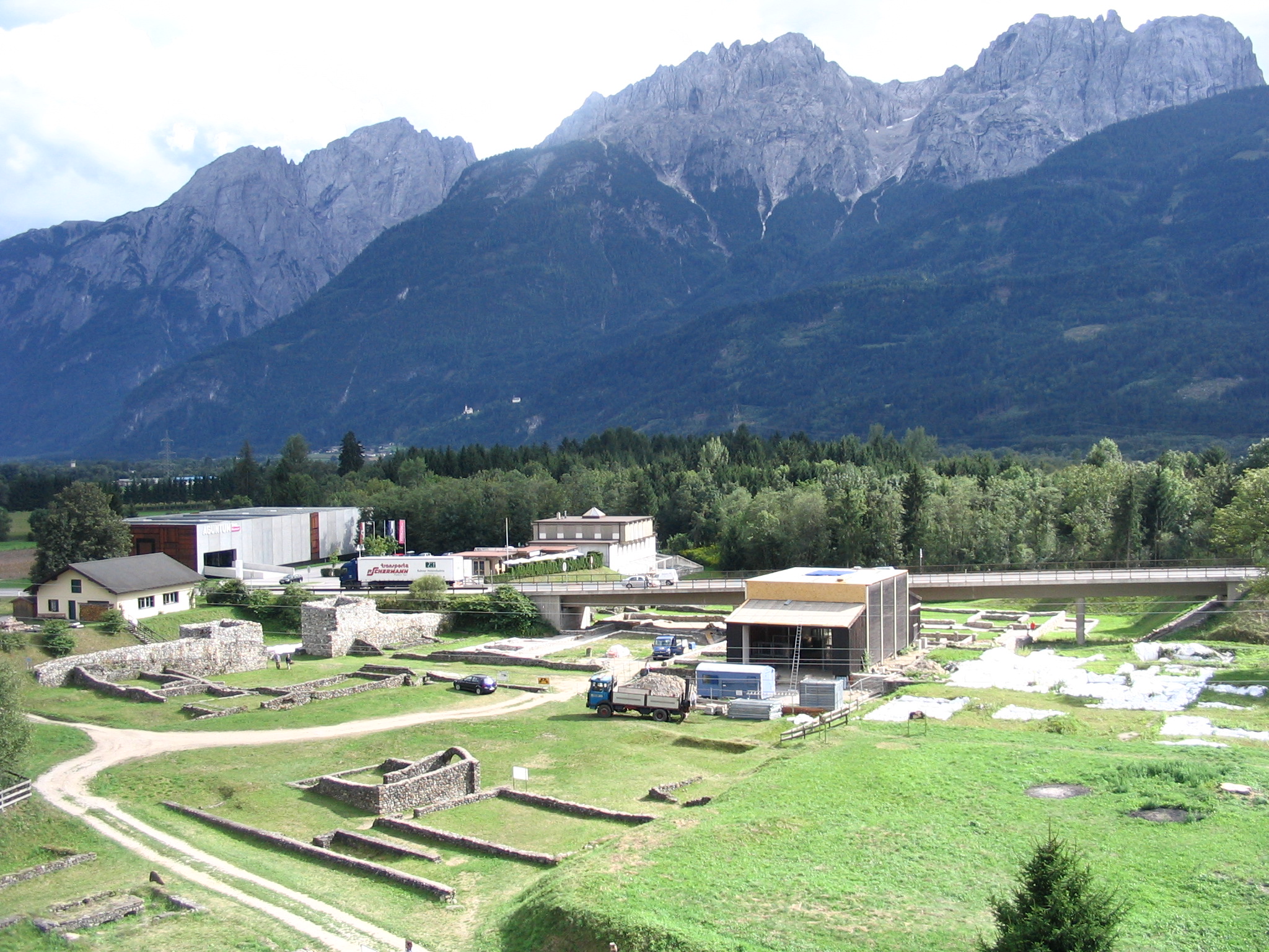
Aguntum
Roman town ruins, East Tirol (1st–3rd centuries AD)
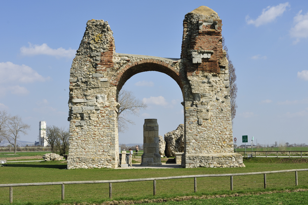
Heidentor
Partially reconstructed Roman triumphal arch
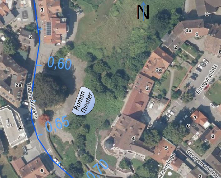
Roman Theatre (Bregenz)
Roman Theatre with stone and wooden construction
Flavia Solva
Roman municipium with stone buildings and amphitheatre