Explore the Map
Endere
37.6000° N, 83.8000° E
About
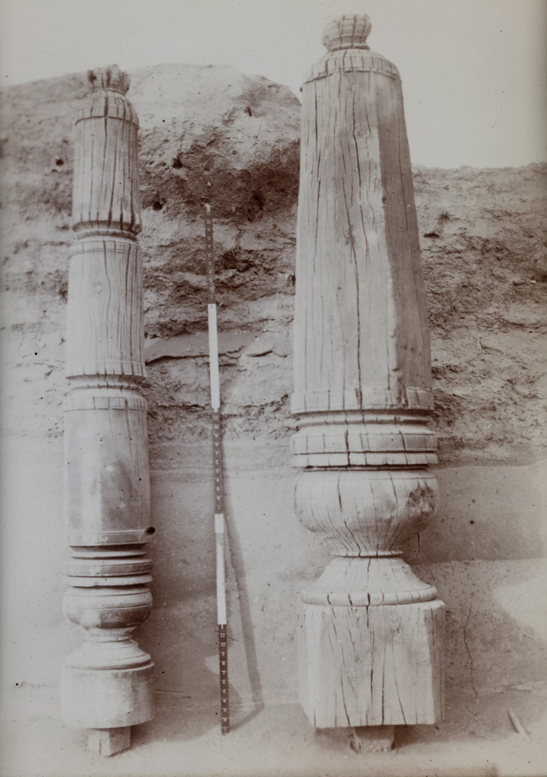
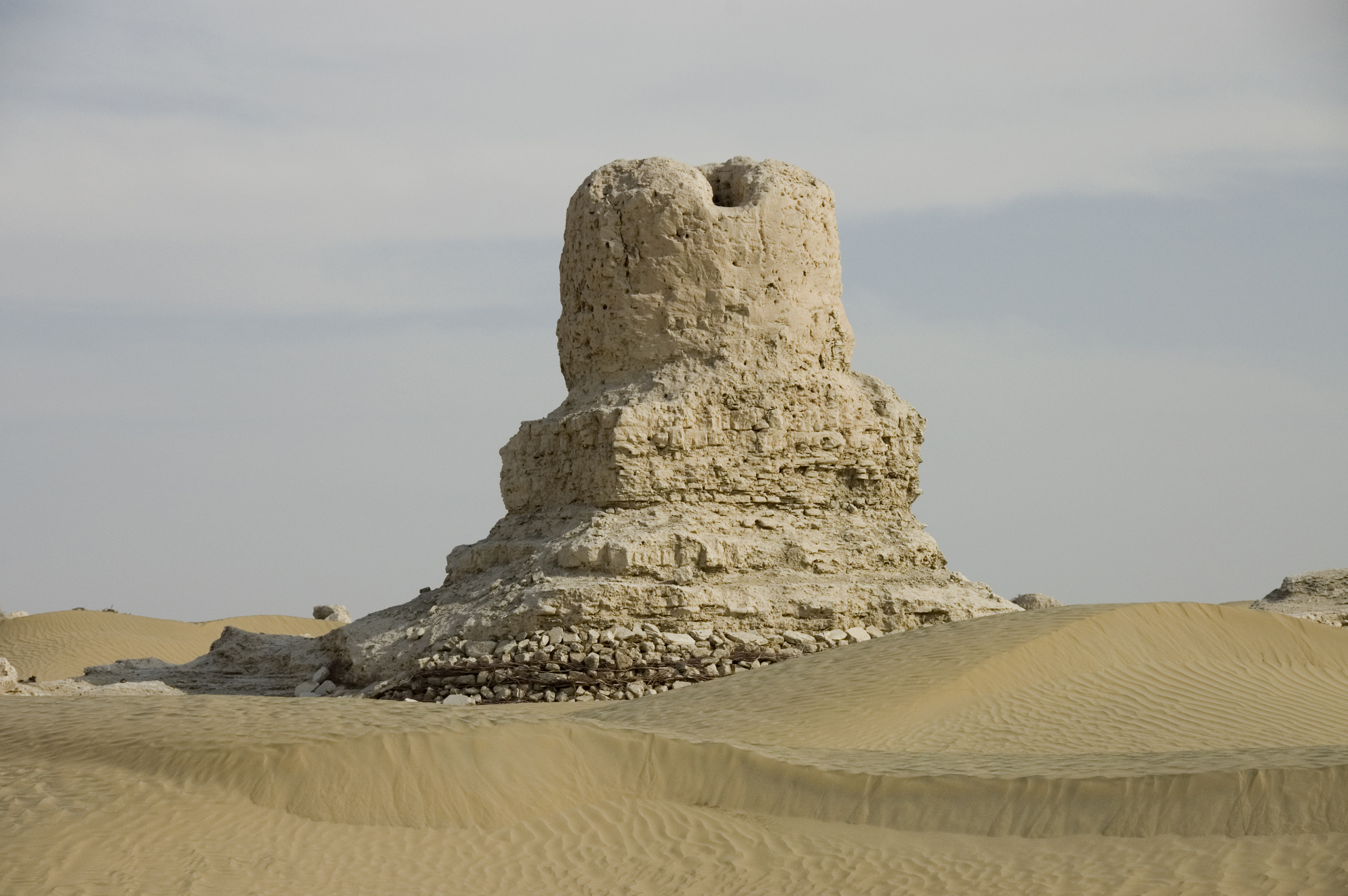
Endere is an archaeological site located in the southern Taklamakan Desert of Xinjiang, China, which played a significant role as a military post and a center for Buddhist worship along the ancient Silk Road. Excavations led by Sir Mark Aurel Stein in 1901 revealed the remnants of a fortified settlement indicative of Chinese control dating back to the Han dynasty. Later, the site fell under Tibetan control during the Tang dynasty before being abandoned in the ninth century due to a change in the Endere river's course. Among the discoveries were various buildings devoted to Buddhist worship, including shrines filled with textile rags and Buddhist manuscripts in Chinese, Tibetan, and Sanskrit, underscoring the area's diverse cultural influences. The site's strategic location and historical role offer valuable insights into the region's military and religious history.
Gallery
Explore photographs of ancient structures, artifacts, and archaeological excavations

Historical Timeline
Journey through time and discover key events in this site's history
Chinese control established
2nd century BCE
Tibetan takeover
618 CE - 907 CE
Fort abandoned
9th century CE
Archaeological Features
Unique architectural and cultural elements found at this historical site
Storage Structures
Defensive Structures
Religious and Ritual Structures
Frequently Asked Questions
Plan Your Visit
Tours, travel arrangements, and practical information
More Sites in China
Ye (Hebei)
Ancient Chinese city, significant historical capital
Luobi Cave
Karst cave with Yuan Dynasty inscriptions
Lingyin Temple
Chan Buddhist temple in Hangzhou, China
Laosicheng
Largest, best-preserved ancient Tusi city
Tomb of An Jia
Sogdian funerary monument in Xi'an, Northern Zhou (6th century)
Shangjing Longquanfu
Balhae capital city ruins, 8th–10th centuries