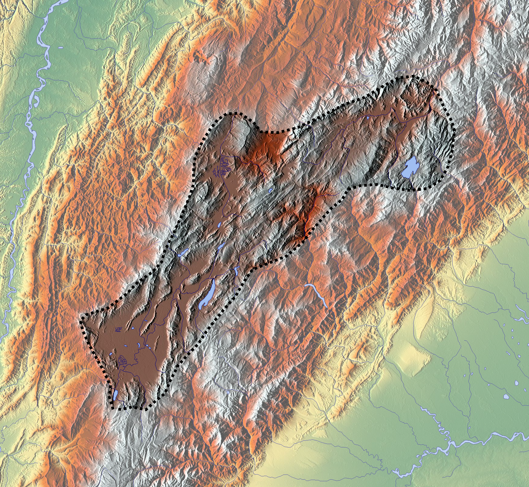
Explore the Map
El Abra
5.0174° N, -73.9512° E
About
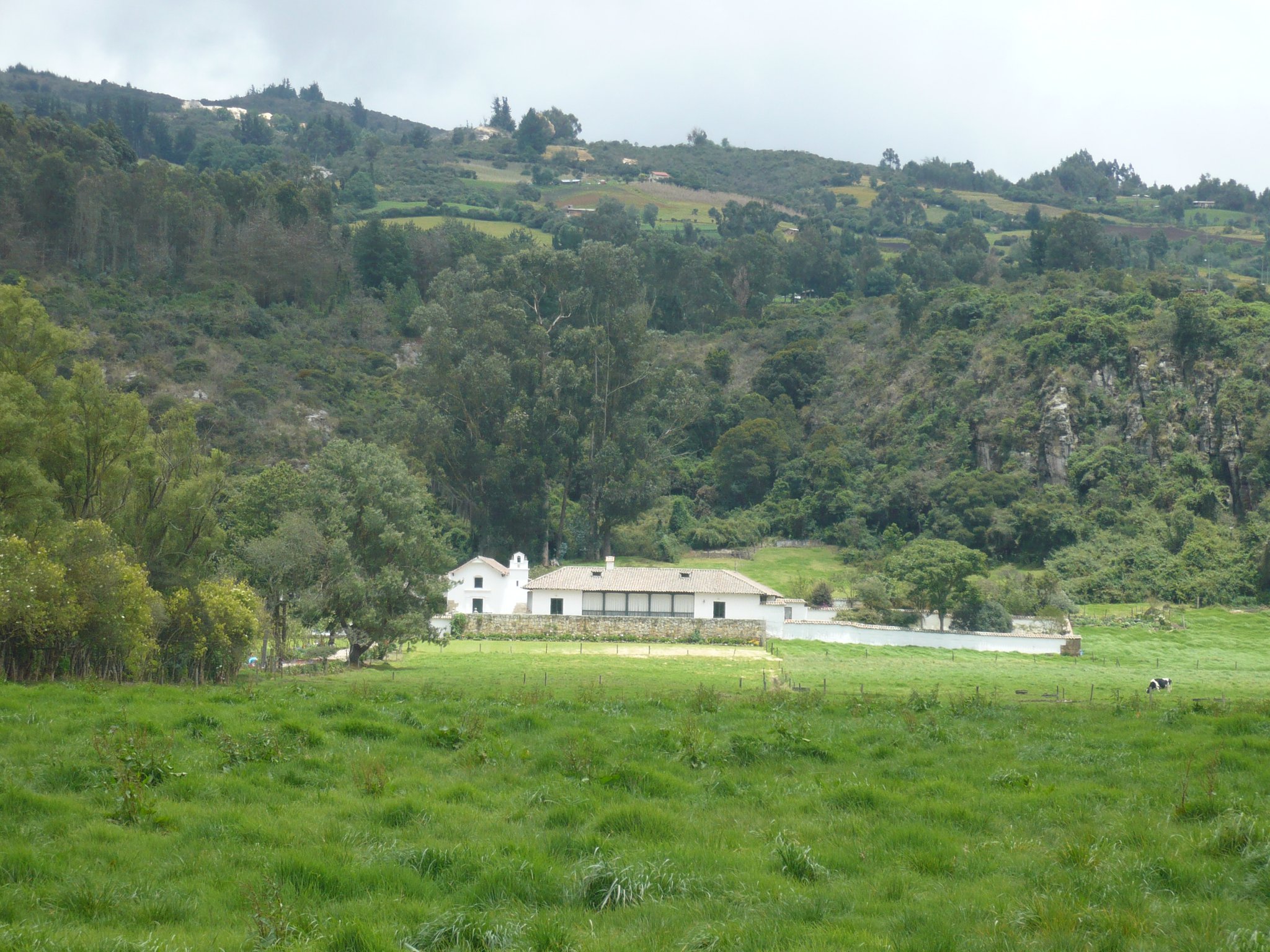
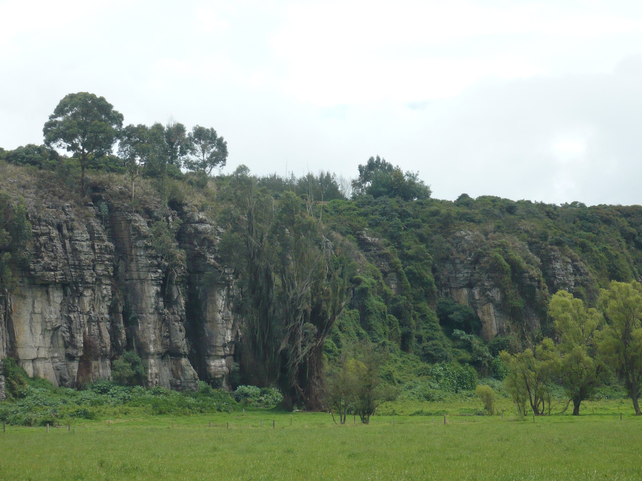
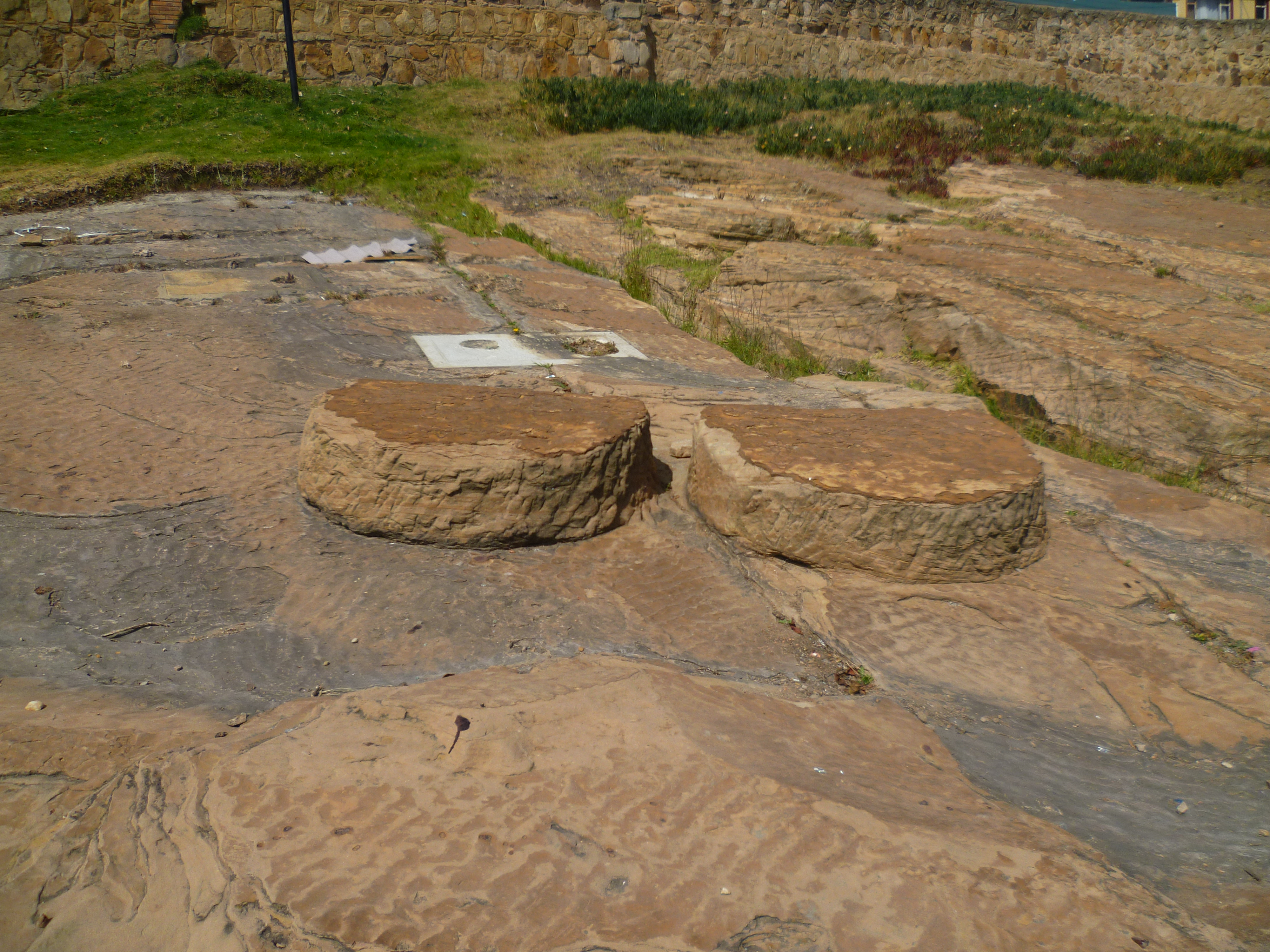
El Abra is a significant archaeological site located in the Eastern Ranges of the Colombian Andes, near Zipaquirá and Tocancipá. Characterized by a series of rock shelters, it offers critical insights into early human settlement in the Americas, dating back to approximately 12,400 years BP. The site reveals a sequence of climatic and cultural phases, including the Fúquene stadial with its cold climate and characteristic lithic tools, and subsequent periods like the Guantivá interstadial, which saw warmer temperatures and the development of abriense tools. Notably, the site provides evidence of Pleistocene megafauna remains, indicating ritual activities. As climate conditions evolved, these rock shelters were gradually abandoned. By around 5,000 years BP, agriculture was practiced nearby. El Abra thus serves as a crucial window into the adaptive strategies of prehistoric hunter-gatherer communities in the Andean region.
Gallery
Explore photographs of ancient structures, artifacts, and archaeological excavations

Historical Timeline
Journey through time and discover key events in this site's history
Aguazuque Agricultural Establishment
5,000 BP
End of Holocene Glaciation
10,000 BP
El Abra Stadial
11,000 BP
Tibitó Stadial
11,400 BP
Guantivá Interstadial
12,500 BP
Fúquene Stadial
15,000 to 12,500 BP
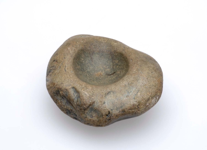
Archaeological Features
Unique architectural and cultural elements found at this historical site
Environmental and Natural Features
Food Production and Processing Features
Frequently Asked Questions
Plan Your Visit
Tours, travel arrangements, and practical information


More Sites in Colombia
Ciudad Perdida
Terraced ancient city in dense jungle
Morro del Tulcán
Indigenous pyramid in Popayán, Colombia
Cojines del Zaque
Two sandstone ritual stones in Tunja.
Checua
Preceramic open settlement with stone tools.
Aguazuque
Pre-Columbian site on Bogotá savanna
San Agustín Archaeological Park
Megalithic necropolis and statue complex, Colombia