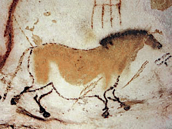
Kujataa Greenland: Norse and Inuit Farming at the Edge of the Ice Cap
<p>Kujataa is a subarctic farming landscape located in the southern region of Greenland. It bears witness to the cultural histories of the Norse…
Explore the Map
Kujataa Greenland: Norse and Inuit Farming at the Edge of the Ice Cap
60.7925° N, -45.8344° E
About
<p>Kujataa is a subarctic farming landscape located in the southern region of Greenland. It bears witness to the cultural histories of the Norse farmer-hunters who started arriving from Iceland in the 10th century and of the Inuit hunters and Inuit farming communities that developed from the end of the 18th century. Despite their differences, the two cultures, European Norse and Inuit, created a cultural landscape based on farming, grazing and marine mammal hunting. The landscape represents the earliest introduction of farming to the Arctic, and the Norse expansion of settlement beyond Europe.
Plan Your Visit
Tours, travel arrangements, and practical information
Details
Denmark
60.79° N, -45.83° E
More Sites in Denmark
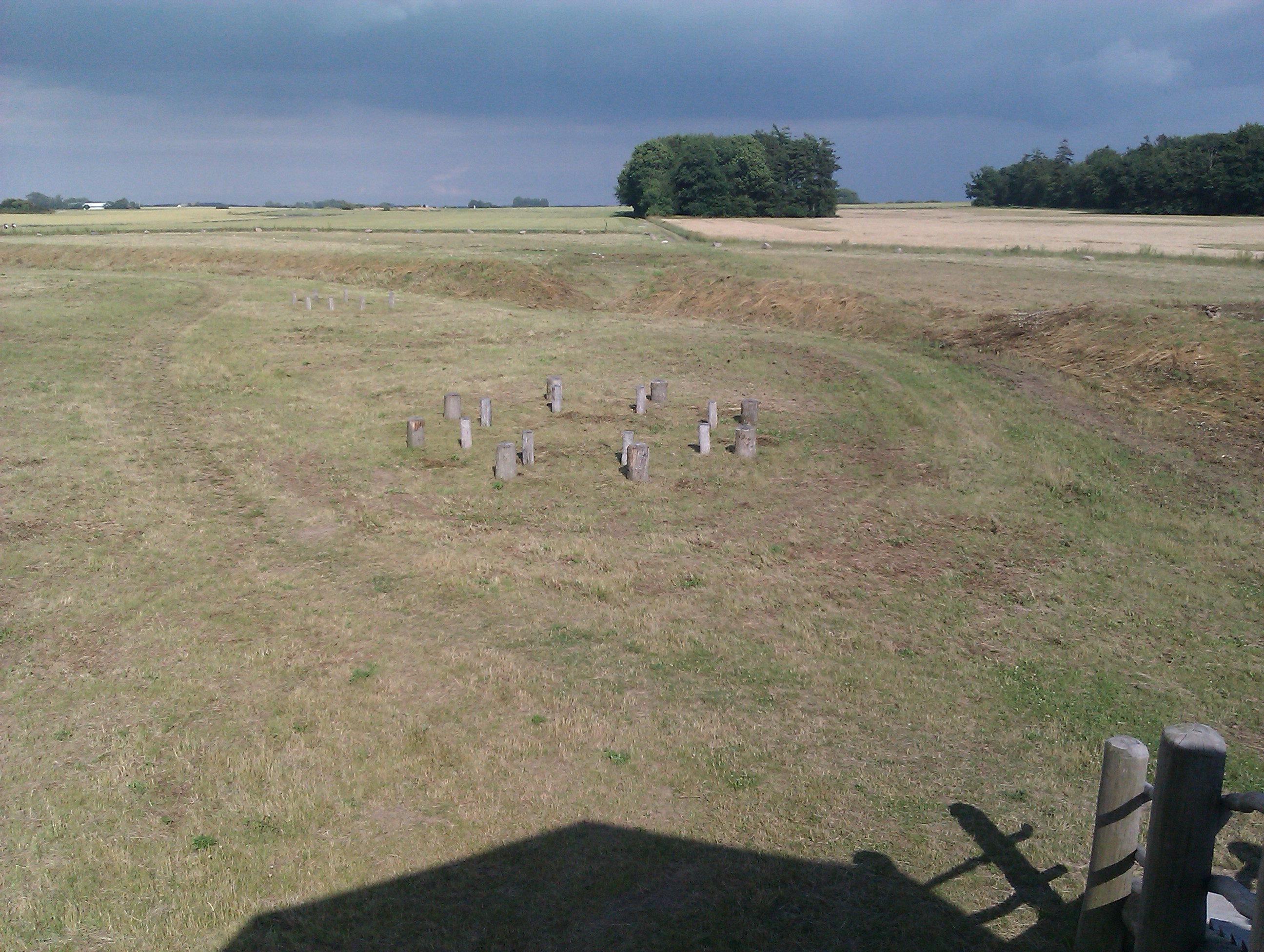
Troldborg Ring
Iron Age fortification with circular rampart.
Essenbæk Abbey
Benedictine monastery ruins in Djursland, Denmark
Rispebjerg
Neolithic sun temple and Iron Age earthworks.
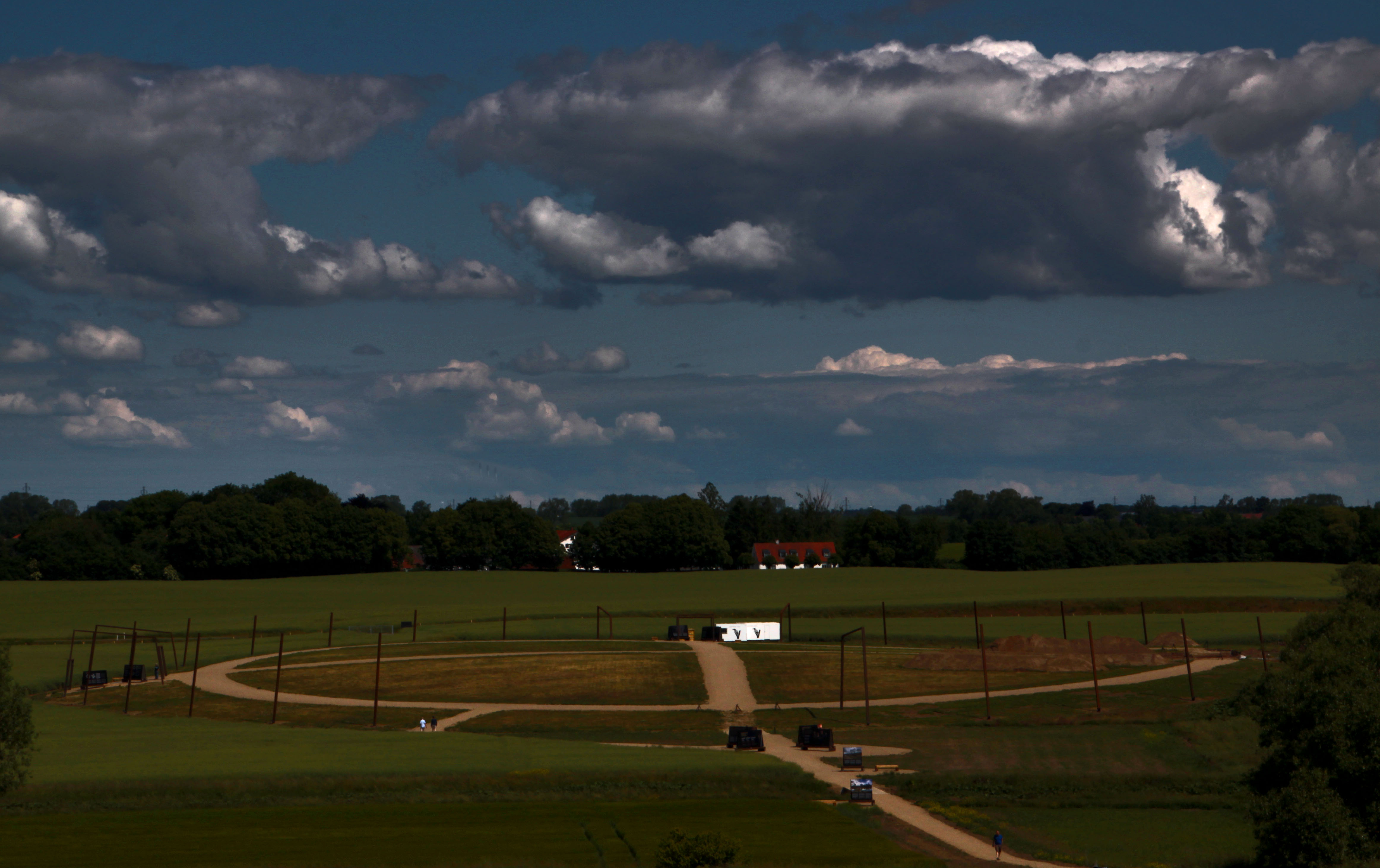
Viking-Age Ring Fortresses
These five archaeological sites comprise a system of monumental ring-shaped Viking-Age fortresses sharing a uniform geometric design. Constructed between…
Trelleborg (Slagelse)
Circular Viking ring fortress with longhouses.
Borgring
Circular Viking fortress with rampart and gates.