Explore the Map
Athribis
30.4667° N, 31.1833° E
About
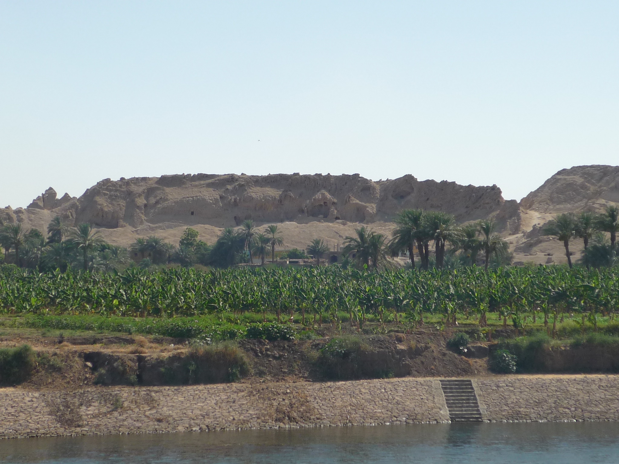
Athribis (Arabic: أتريب; Greek: Ἄθριβις, from the original Ancient Egyptian: Ḥw.t-tꜣ-ḥry-jb, Coptic: Ⲁⲑⲣⲏⲃⲓ) was an ancient city in Lower Egypt. It is located in present-day Tell Atrib, just northeast of Benha on the hill of Kom Sidi Yusuf. The town lies around 40 km north of Cairo, on the eastern bank of the Damietta branch of the Nile. It was mainly occupied during the Ptolemaic, Roman, and Byzantine eras.
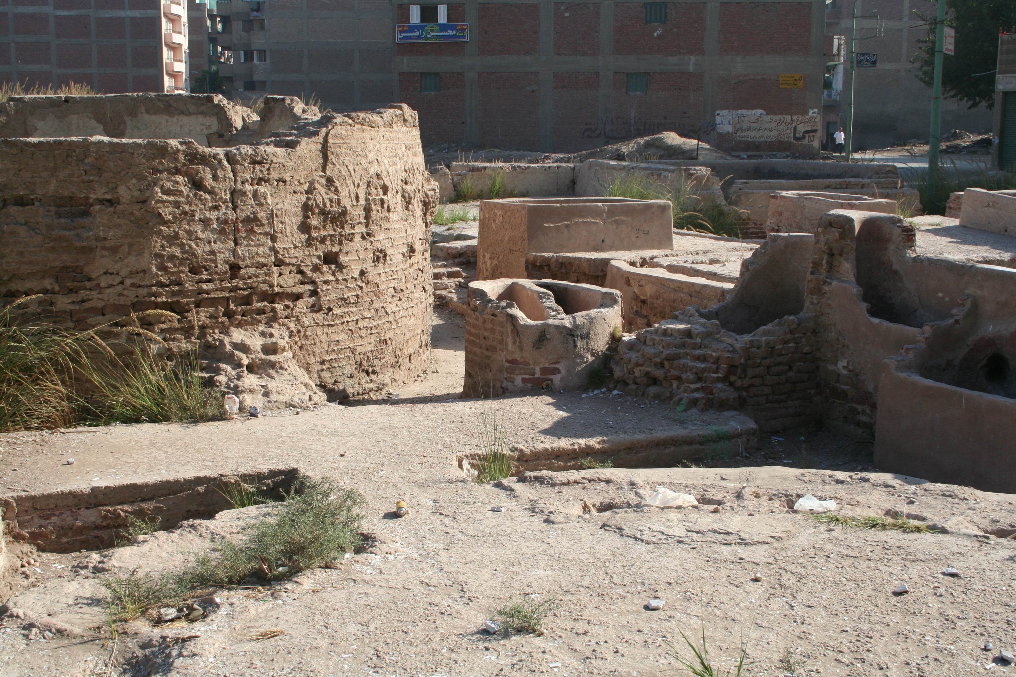
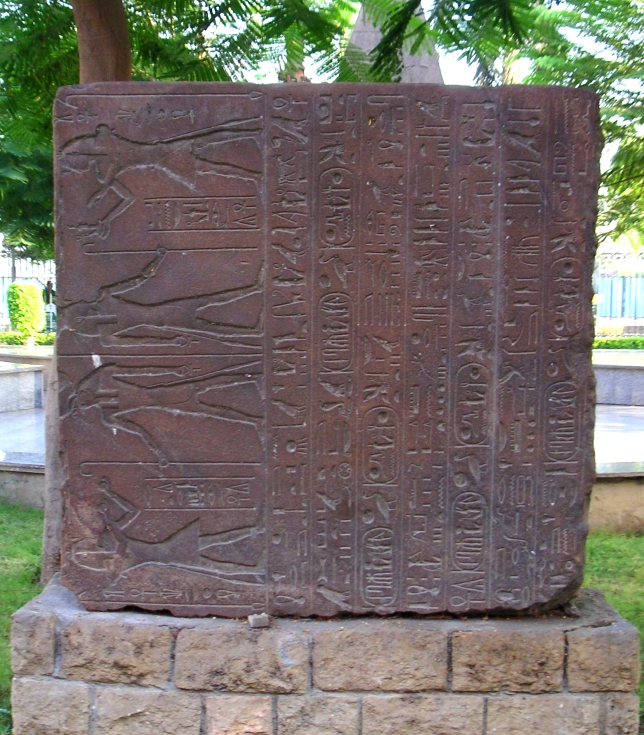
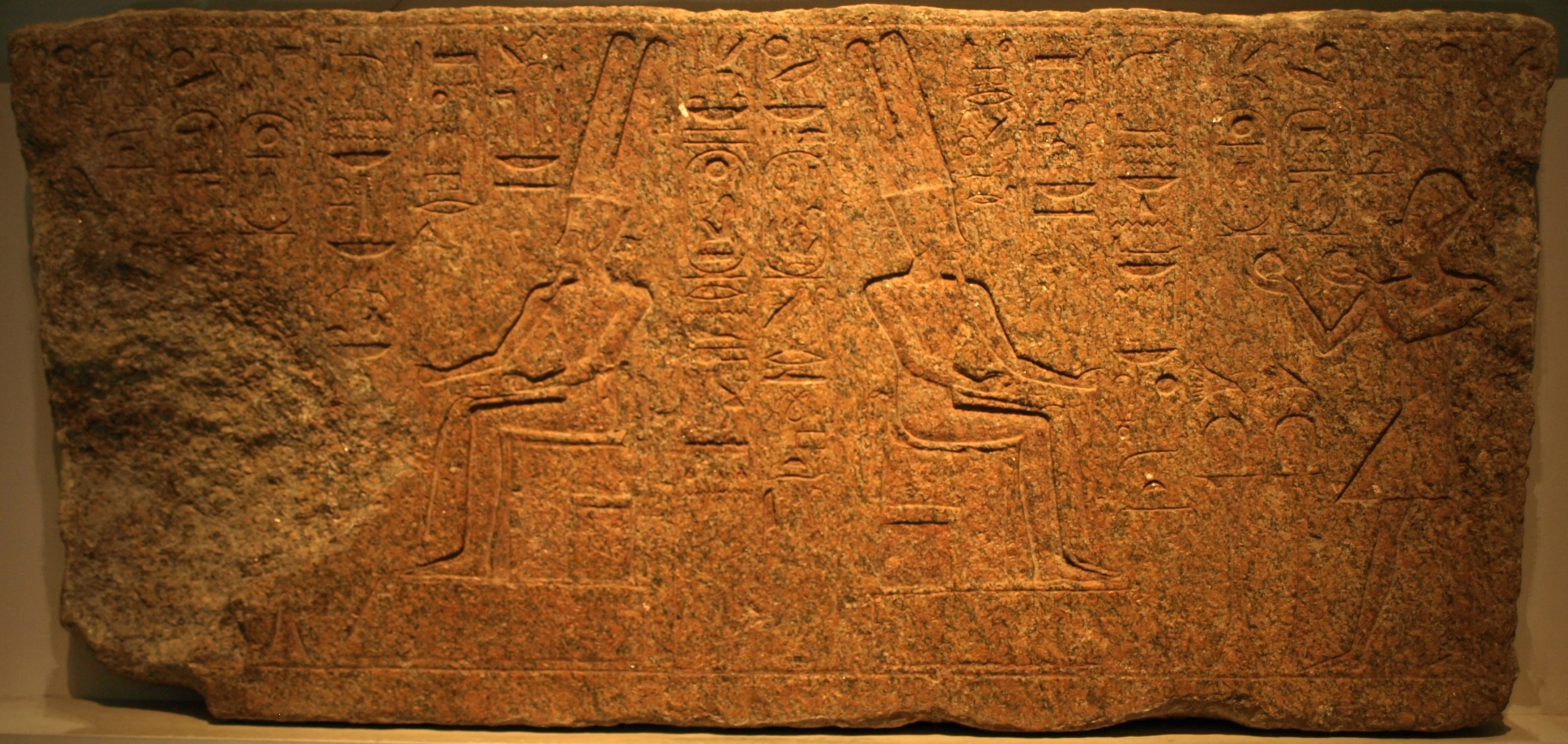
Gallery
Explore photographs of ancient structures, artifacts, and archaeological excavations

Historical Timeline
Journey through time and discover key events in this site's history
Ptolemaic layers preserved
3rd century BCE and first half of 2nd century BCE
Old Kingdom mention
12th Dynasty occupation
Major Polish excavations
after World War II
Graeco‑Roman presence from Ptolemaic II phase
Roman–Byzantine craft production
up to late 4th century AD
Medieval Marian narratives
13th century
Mariette excavation
1852
Tomb of Queen Takhuit found
1946
Kom Sidi Youssuf research
1960s–1970s
Mastaba discovery near Quesna
2010
Archaeological Features
Unique architectural and cultural elements found at this historical site
Storage Structures
Public and Civic Structures
Burial and Funerary Structures
Industrial and Craft Structures
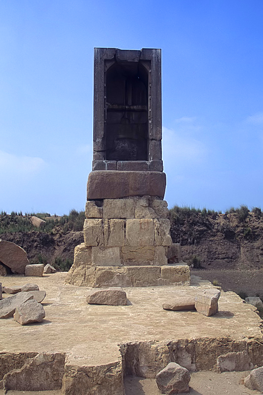
Religious and Ritual Structures
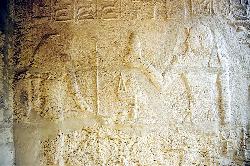
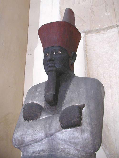
Artistic and Decorative Features
Domestic and Habitation Structures
Environmental and Natural Features
Frequently Asked Questions
Plan Your Visit
Tours, travel arrangements, and practical information


More Sites in Egypt
Bubastis
Ancient Egyptian city with Bastet temple
Canopus, Egypt
Submerged ancient Egyptian coastal town ruins
Medinet Madi
Greco-Roman town with Middle Kingdom temple
Thinis
Ancient Upper Egypt's undiscovered capital city.
Gebelein
Archaeological site with mummies and temple ruins
Mendes
Ancient city with significant religious structures.