Explore the Map
Gebel Adda
22.2971° N, 31.6369° E
About
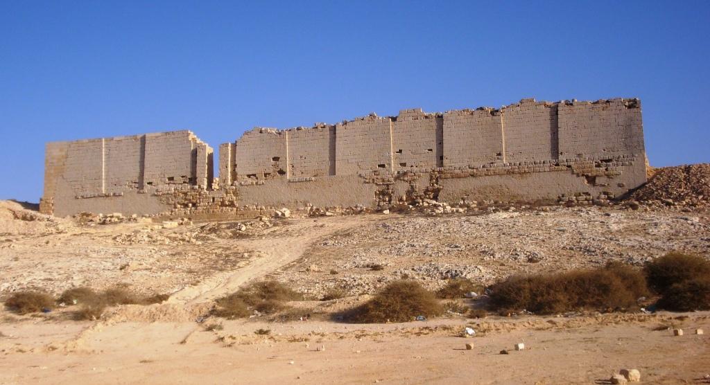
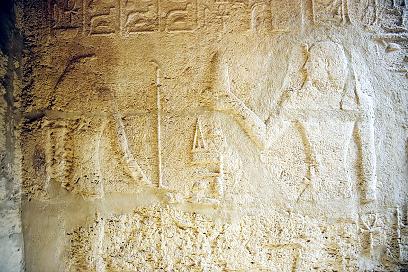
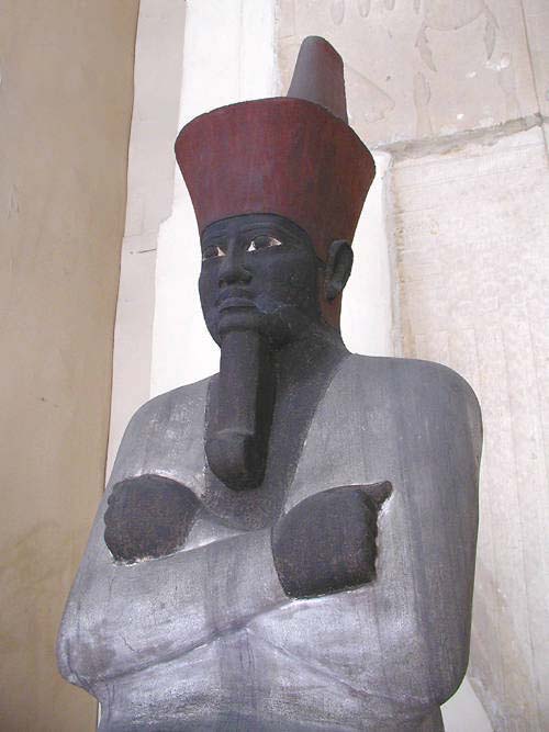
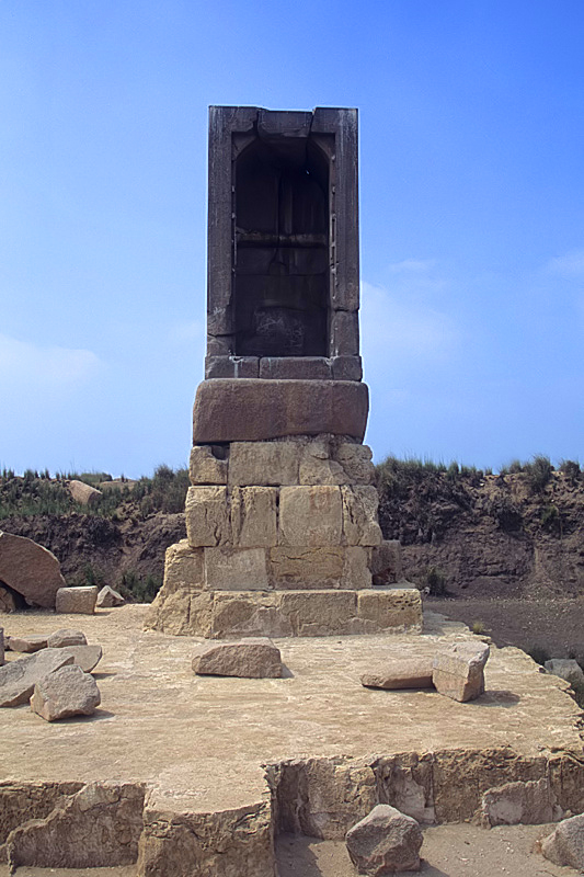
Gebel Adda, located on the eastern bank of the Nubian Nile in southern Egypt, is a significant archaeological site notable for its strategic position and continuous occupation from the late Meroitic period until the Ottoman era. The site was a fortified settlement featuring defensive walls, towers, and a fortress. It also served religious purposes, with temples and churches, some adorned with preserved murals. Throughout its history, Gebel Adda was a provincial center, later becoming the capital of the Makuria kingdom in the 14th century. The settlement was inhabited until the 18th century when it was abandoned. Notably, the site was partially excavated before being submerged by Lake Nasser, with findings including inscriptions, leatherwork, and religious structures. These elements reflect its complex historical phases, from Egyptian and Roman influences to Christian and Islamic periods.
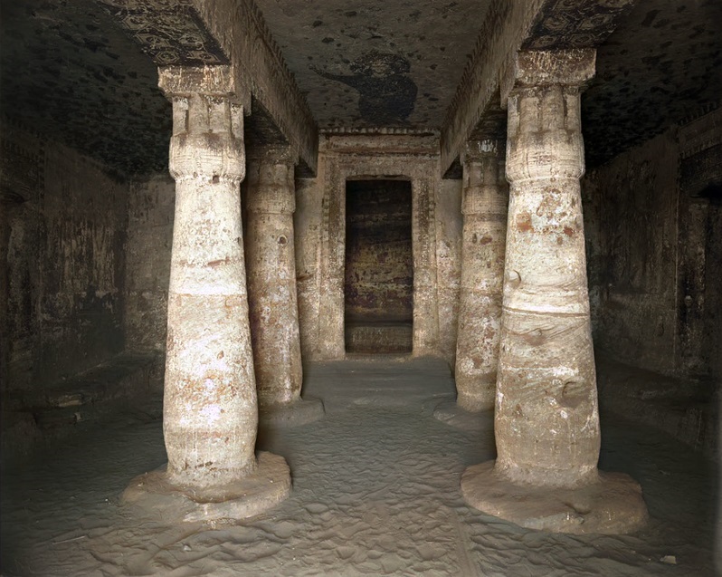
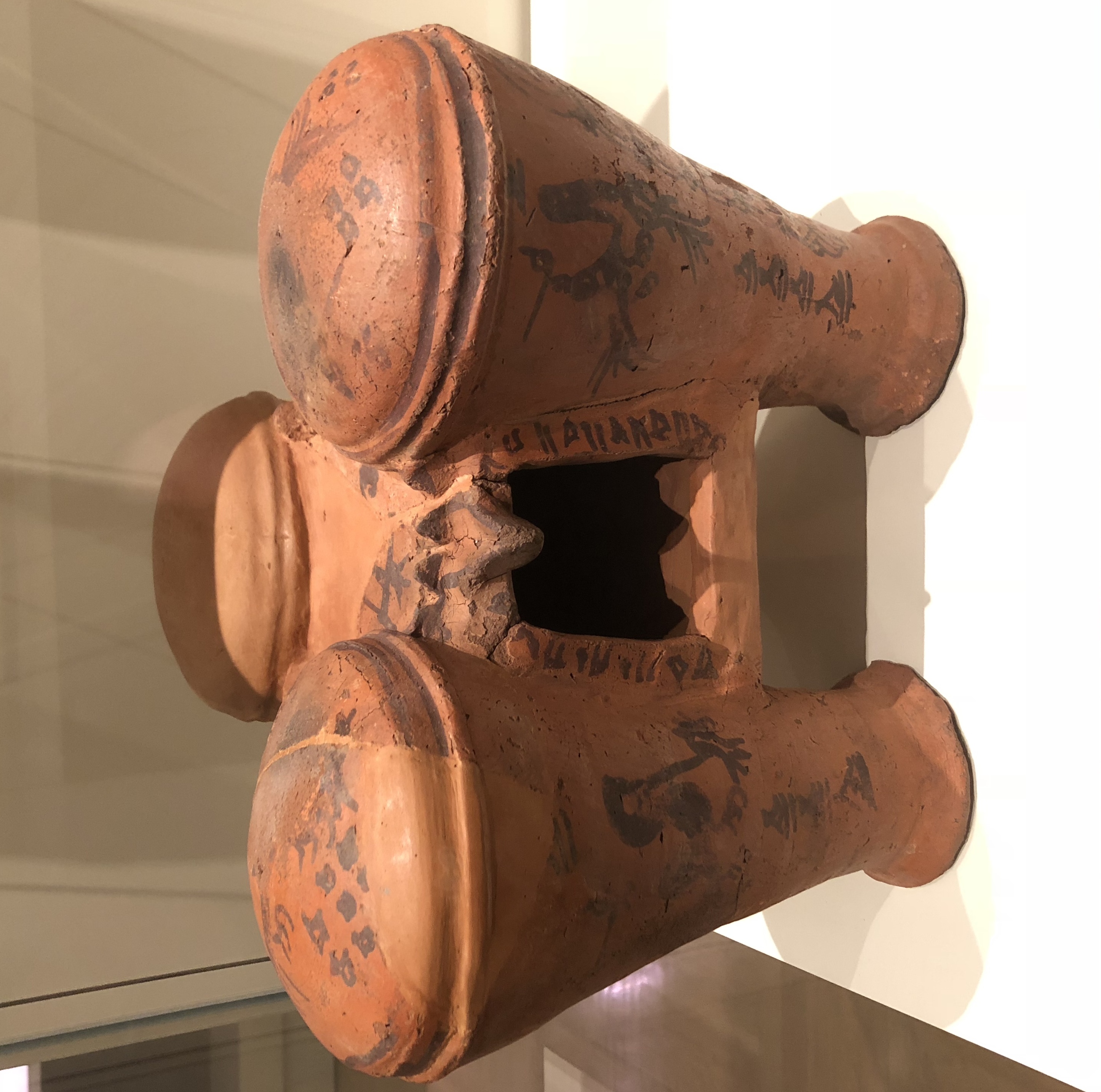
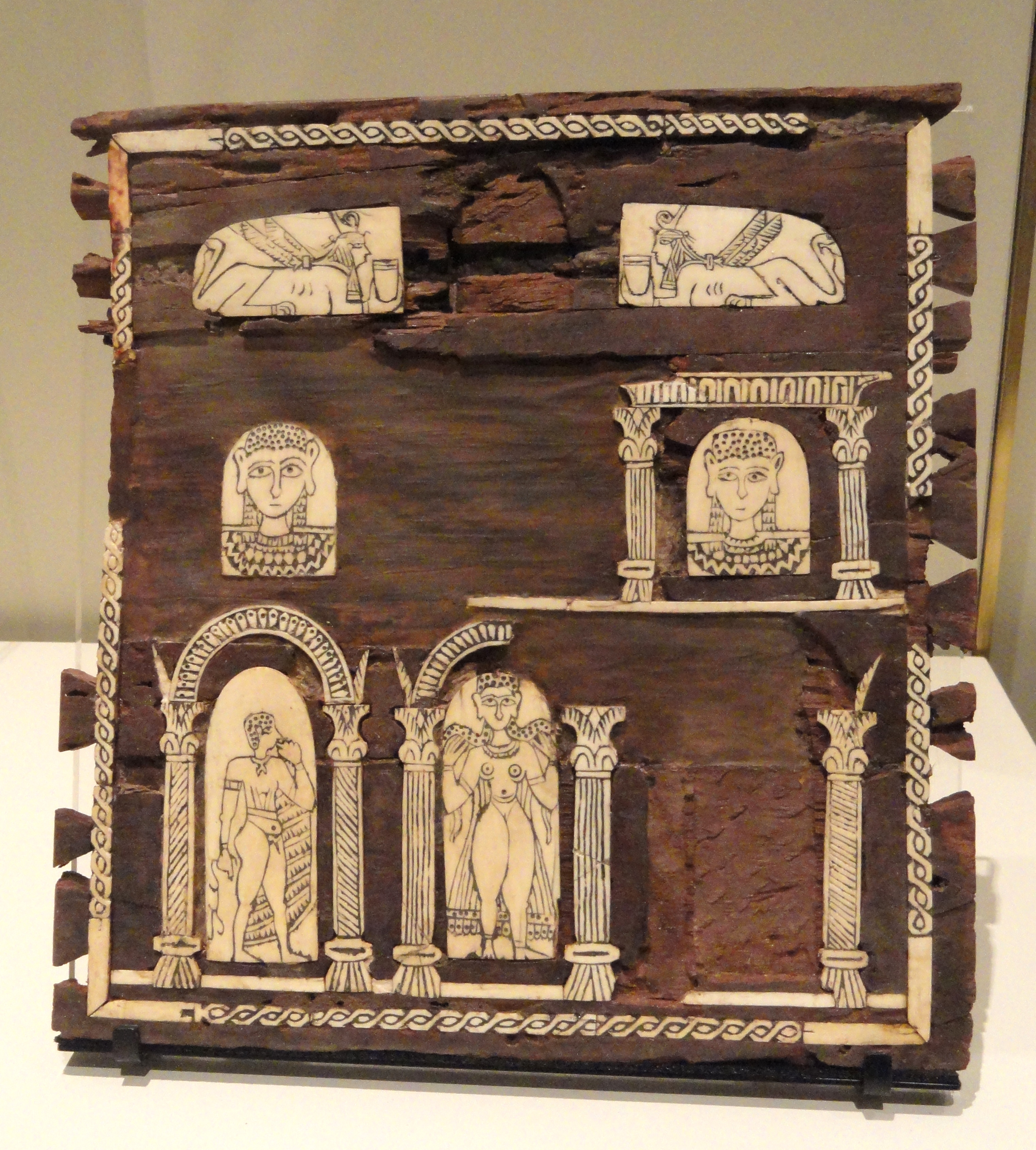
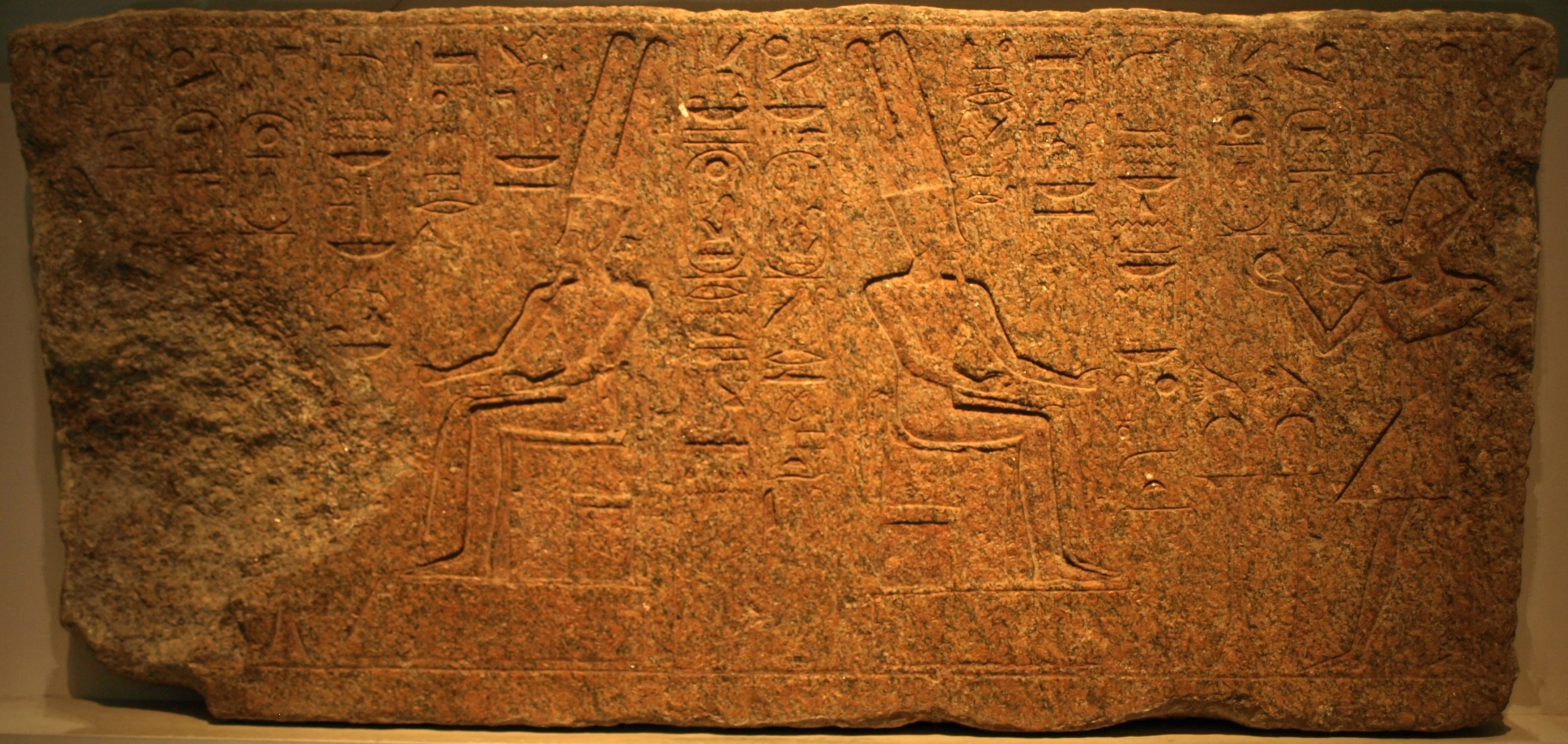
Gallery
Explore photographs of ancient structures, artifacts, and archaeological excavations

Historical Timeline
Journey through time and discover key events in this site's history
New Kingdom of Egypt
16th century BCE
Late Meroitic Period Settlement
2nd century CE
Spread of Christianity
6th century CE
Makurian Capital
14th century CE
Horemheb's Reign
1319–1292 BCE
Ottoman Abandonment
late 18th century CE
Archaeological Features
Unique architectural and cultural elements found at this historical site
Defensive Structures
Burial and Funerary Structures
Religious and Ritual Structures
Artistic and Decorative Features
Domestic and Habitation Structures
Frequently Asked Questions
Plan Your Visit
Tours, travel arrangements, and practical information
More Sites in Egypt
Bubastis
Ancient Egyptian city with Bastet temple
Taposiris Magna
Ancient city with temple and tombs
Canopus, Egypt
Submerged ancient Egyptian coastal town ruins
Medinet Madi
Greco-Roman town with Middle Kingdom temple
Thinis
Ancient Upper Egypt's undiscovered capital city.
Mendes
Ancient city with significant religious structures.