Explore the Map
Kom Firin
30.8631° N, 30.4899° E
About
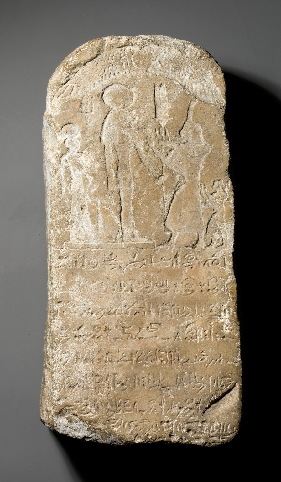
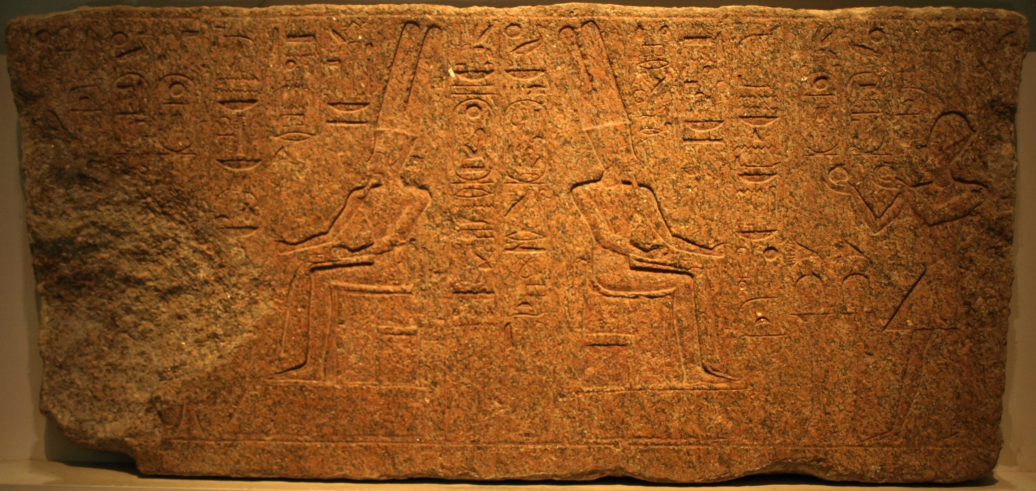
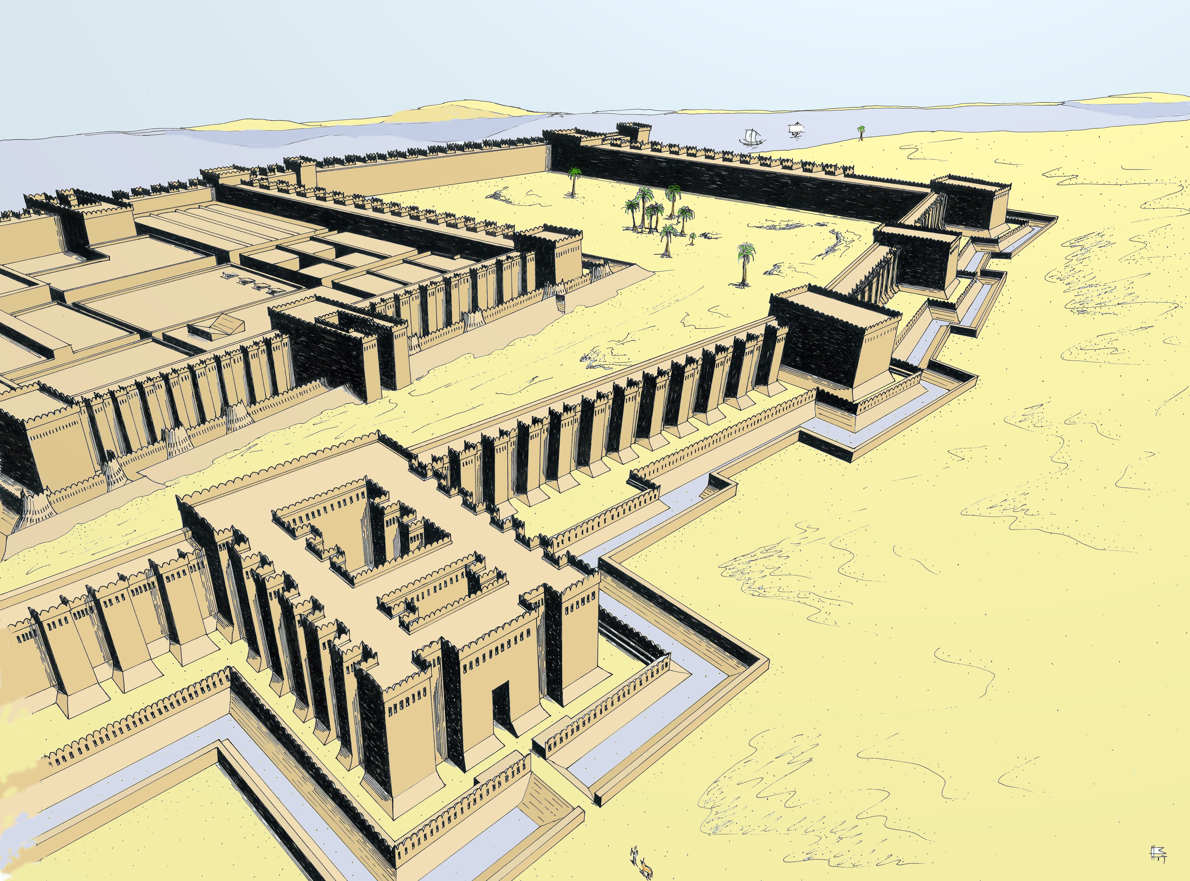
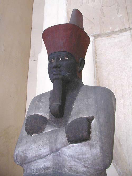
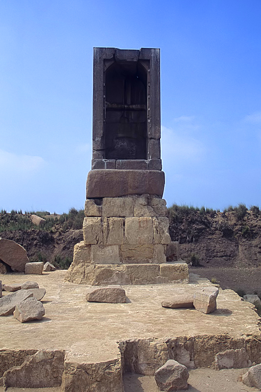
Kom Firin, an archaeological site in Egypt's Nile Delta, dates back to the reign of Ramesses II in the 19th Dynasty, around the 13th century BCE. Initially established as a fortified town to protect against Libyan incursions, it features a large mudbrick enclosure believed to be the remains of a Ramesside temple. The site underwent significant expansion and remodelling during Egypt's Late Period, with its original enclosure being enlarged to encompass a much larger area. The necropolis associated with Kom Firin is thought to be located at nearby Silvagou. Modern excavations have revealed towering mudbrick pillars, remnants of ancient structures affected by weathering and sebakh digging. Kom Firin holds significant archaeological value, shedding light on Egypt's defensive strategies and urban development during the New Kingdom and Late Period.
Gallery
Explore photographs of ancient structures, artifacts, and archaeological excavations
Historical Timeline
Journey through time and discover key events in this site's history
Late Period Expansion
664–332 BCE
Fortified Town Founded
circa 1279–1213 BCE
Archaeological Features
Unique architectural and cultural elements found at this historical site
Defensive Structures
Burial and Funerary Structures
Religious and Ritual Structures
Frequently Asked Questions
Plan Your Visit
Tours, travel arrangements, and practical information


More Sites in Egypt
Bubastis
Ancient Egyptian city with Bastet temple
Buhen
Ancient Egyptian fortress with copper smelting.

Leontopolis (Heliopolis)
Ancient city with fortifications and a temple.
Thinis
Ancient Upper Egypt's undiscovered capital city.
Mendes
Ancient city with significant religious structures.
Cemetery GIS
Stone mastabas in Giza Plateau cemetery