
Explore the Map
Halae
38.6583° N, 23.1896° E
About
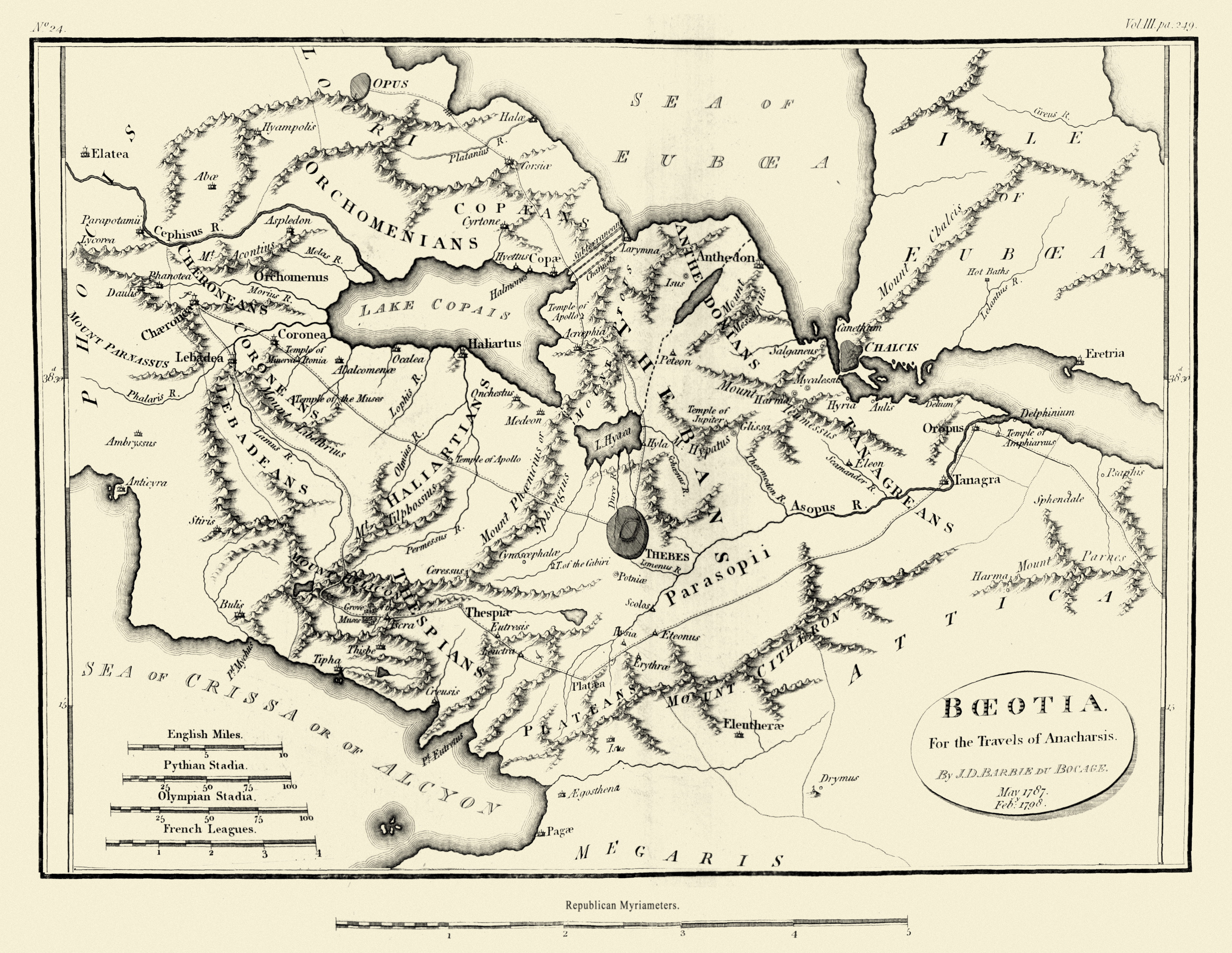
Halae, also known as Halai, was an ancient town located on the Opuntian Gulf, historically associated with the region of Locris but later integrated into Boeotia. As described by ancient geographers such as Strabo and Pausanias, the town was strategically situated near the Platanias River and was the last town within Boeotia's boundaries. The name Halae is believed to have originated from the salt springs in its vicinity, indicative of the area's natural resources. Today, the site is associated with the modern town of Theologos, where remnants of the ancient settlement, including a church, can still be found. The town's historical significance lies in its geographical and political transition from Locris to Boeotia, reflecting the dynamic nature of ancient regional boundaries.
Gallery
Explore photographs of ancient structures, artifacts, and archaeological excavations
Historical Timeline
Journey through time and discover key events in this site's history
Halae as Boeotian town
1st century BCE/CE format
Archaeological Features
Unique architectural and cultural elements found at this historical site
Religious and Ritual Structures
Domestic and Habitation Structures
Frequently Asked Questions
Plan Your Visit
Tours, travel arrangements, and practical information
More Sites in Greece
Cichyrus
Mycenaean acropolis and oracle, Bronze Age Greece
Cranon
Ancient fortified city in Thessaly, Greece.
Temple of Sangri
Late Archaic Ionic temple, Naxos (6th century BCE)
Paradeisos (archaeological site)
Late Neolithic site in Eastern Macedonia, Greece
Necromanteion of Acheron
Greek necromancy temple site, Epirus (Greece)
Nicopolis
Roman city and monumental complex, 1st century BC