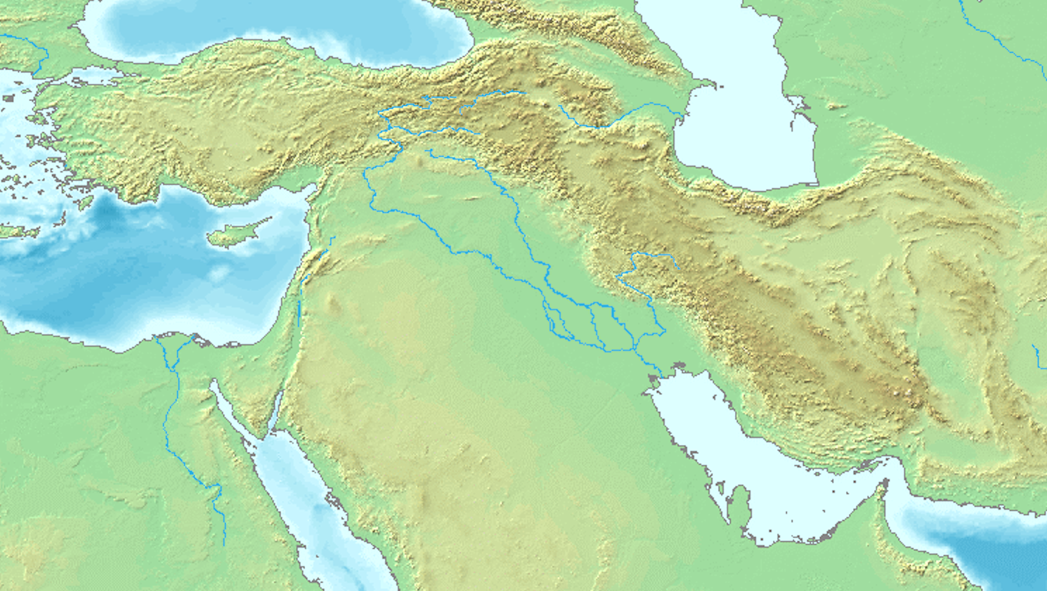
Explore the Map
M'lefaat
36.3000° N, 43.5500° E
About
M'lefaat is an archaeological tell located in Upper Mesopotamia, northern Iraq. It was occupied during the Pre-Pottery Neolithic A period, approximately around 10,000 BCE to 8,800 BCE. The site is notable for its small size, covering an area of 0.7 hectares, and is characterized by the Taurus-Zagros Round House Horizon, indicating the presence of domestic habitation structures. M'lefaat lies near the Khazir River and is situated in a moist steppe environment that could have supported savanna-type vegetation. The environmental conditions would have been conducive to early agricultural practices, potentially allowing winter cultivation without the need for artificial irrigation. M'lefaat is part of a cluster of early Neolithic sites in northern Iraq, contributing valuable insights into early human settlement and adaptation in the region.
Gallery
Explore photographs of ancient structures, artifacts, and archaeological excavations

Historical Timeline
Journey through time and discover key events in this site's history
Pre-Pottery Neolithic A occupation
circa 10,000 BCE - 8,800 BCE
Archaeological Features
Unique architectural and cultural elements found at this historical site
Domestic and Habitation Structures
Frequently Asked Questions
Plan Your Visit
Tours, travel arrangements, and practical information
More Sites in Iraq
Larsa
Sumerian city-state and temple complex, Isin–Larsa period
Tell Taya
Ancient hill city with fortifications and artifacts.
Tell Bazmusian
Large tell site with multi-period occupation.
Tell Rashid
Ubaid period settlement mound in Iraq
Tell al-Lahm
Oblong mound with city wall remnants
Assur
Ancient Assyrian city on the Tigris River