
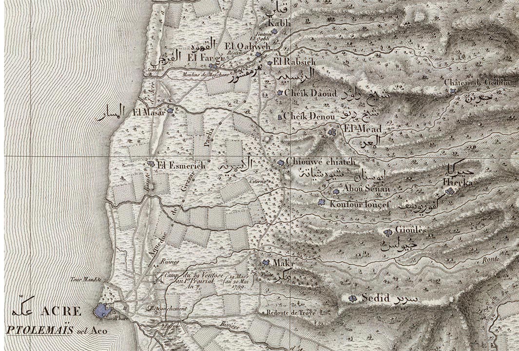
Explore the Map
Khirbat al-Minya
32.8649° N, 35.5362° E
About
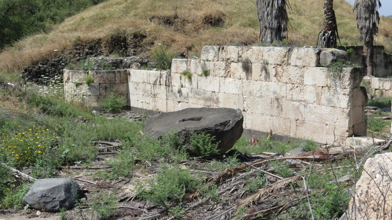
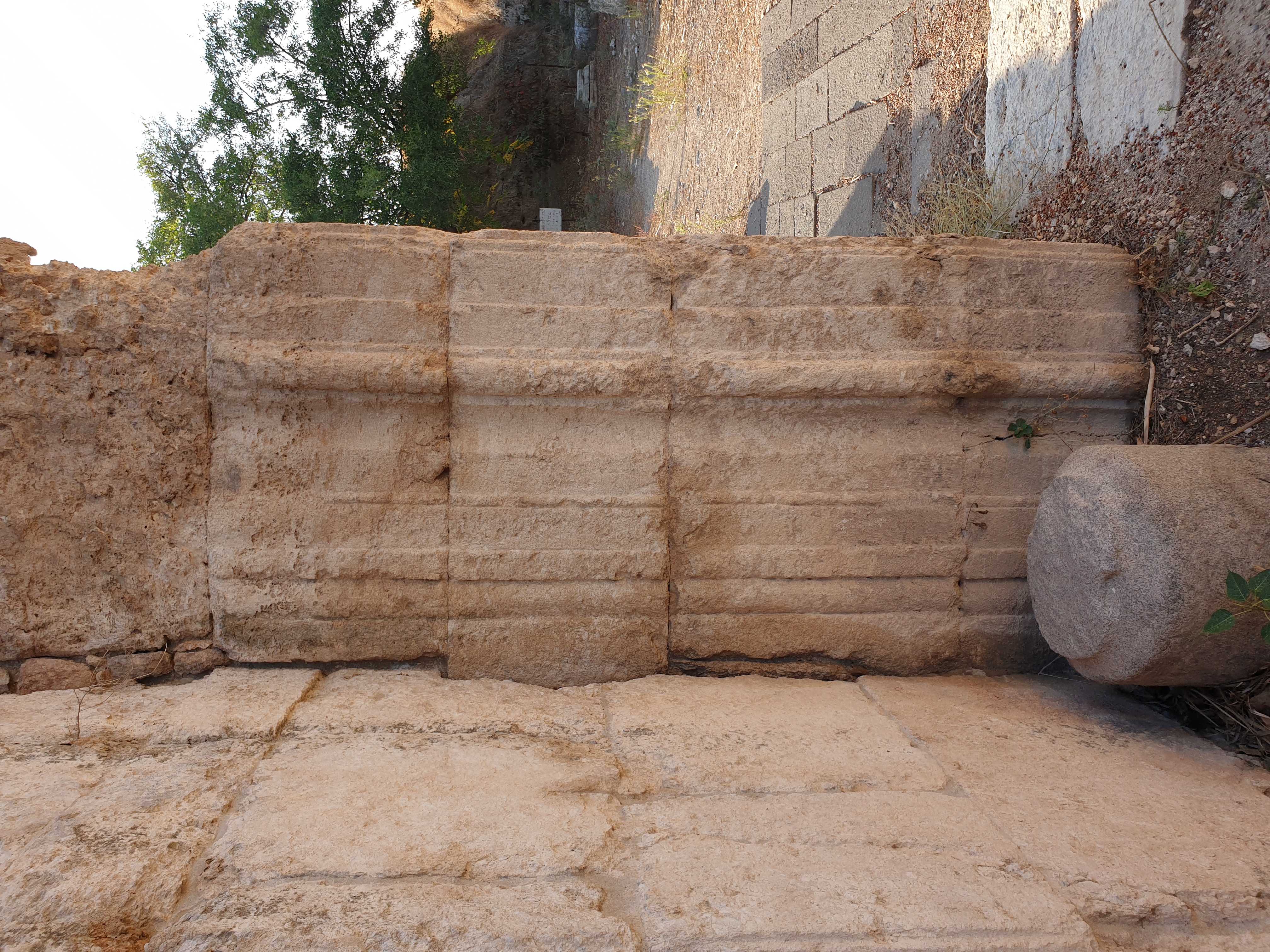
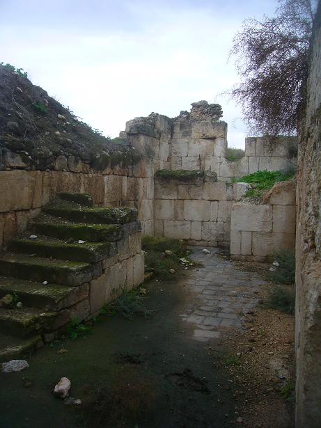
Khirbat al-Minya is an archaeological site of an Umayyad palace complex located in eastern Galilee, Israel, near Lake Tiberias. Likely constructed during the reign of Caliph al-Walid I between 705-715 CE, the complex includes a palace, mosque, and bath, serving as both an administrative center and a retreat. The site was later affected by a significant earthquake in 749 CE, which caused damage that was never repaired, leading to its eventual abandonment. During the late Mamluk period, the site saw temporary resettlement and functioned as a khan due to its strategic location. By the Ottoman period, a village named Mina appeared in tax records, utilizing parts of the ruin for agricultural processing. Today, Khirbat al-Minya offers insights into early Islamic architecture and serves as a testament to the region's historical transitions.
Gallery
Explore photographs of ancient structures, artifacts, and archaeological excavations
Historical Timeline
Journey through time and discover key events in this site's history
Umayyad Construction
705-715 CE
End of Umayyad Use
750 CE
Mamluk Reuse
1312-1340 CE
Ottoman Village
1596 CE
Archaeological Features
Unique architectural and cultural elements found at this historical site
Water Management Features
Religious and Ritual Structures
Artistic and Decorative Features
Domestic and Habitation Structures
Food Production and Processing Features
Transportation and Communication Structures
Frequently Asked Questions
Plan Your Visit
Tours, travel arrangements, and practical information
More Sites in Israel
Tel Kabri
Bronze Age Canaanite palace and settlement
Tell Qasile
Philistine port city with temples and houses
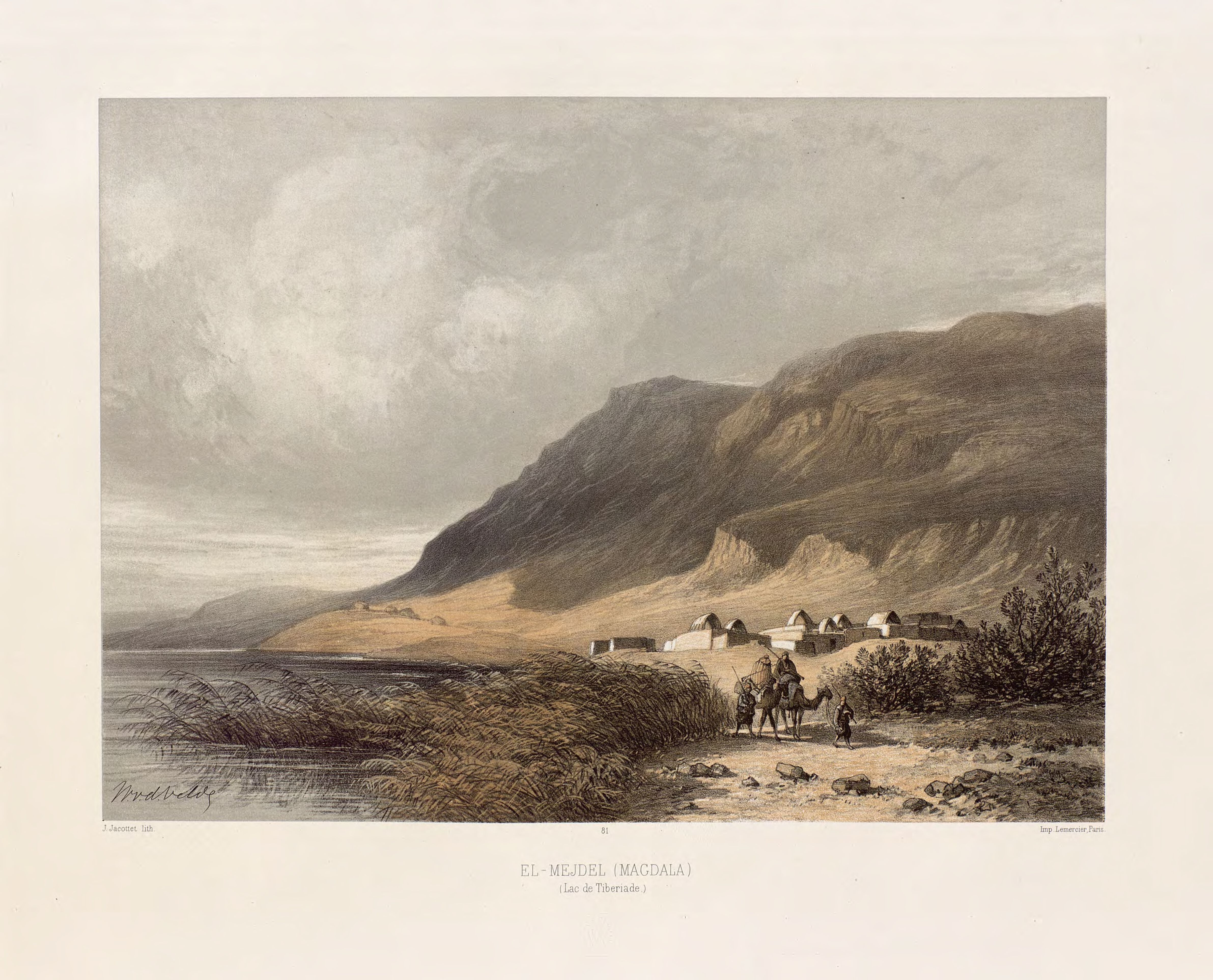
Magdala
Ancient Jewish city with Roman synagogues

Tel Tanninim
Ancient tell near Mediterranean with Byzantine remains
Gath-hepher
Ancient town with prophet's tomb nearby.

Ein Avdat
Desert canyon with springs and ancient habitations.