
Explore the Map
Sataf
31.7692° N, 35.1272° E
About
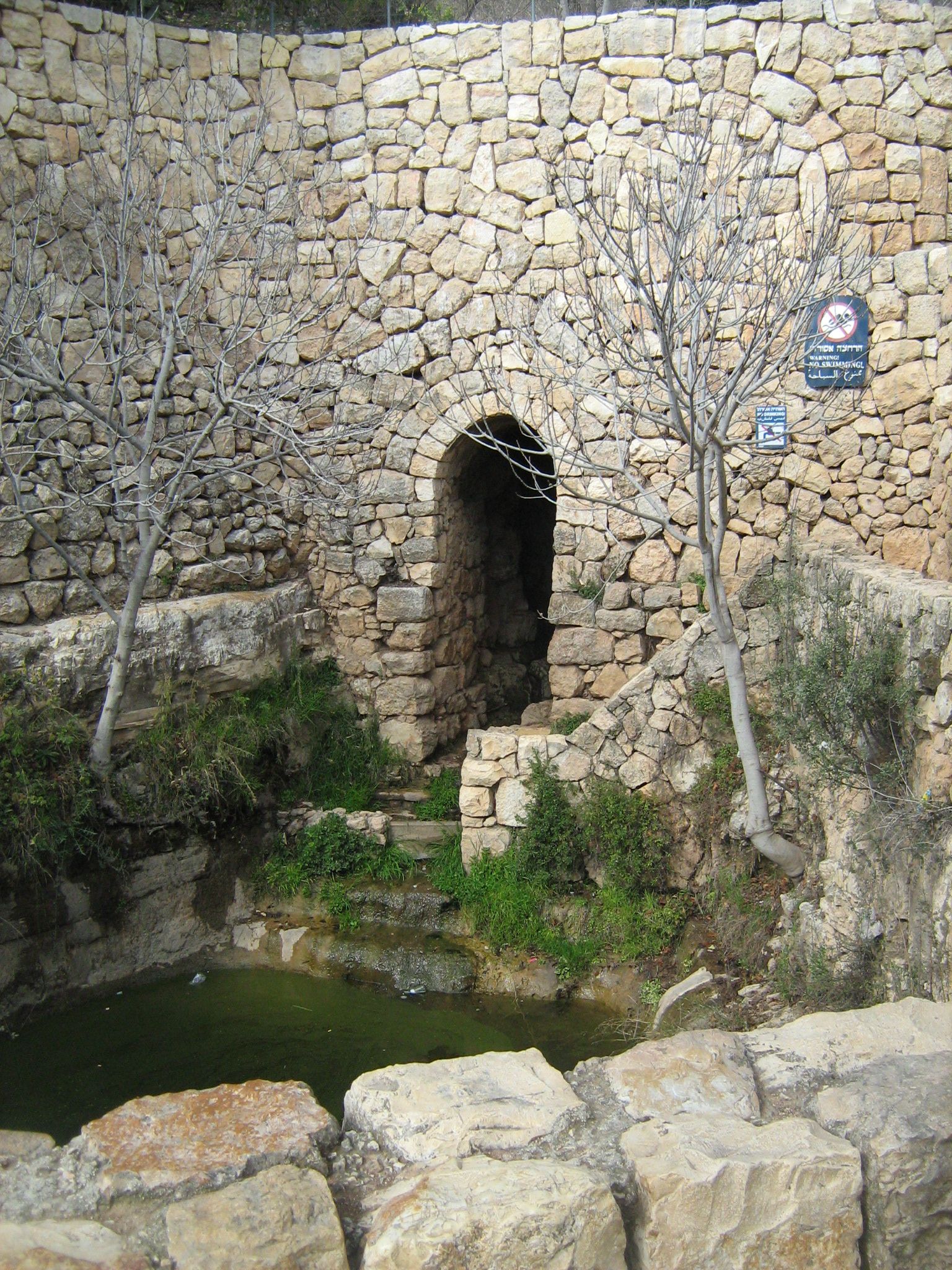
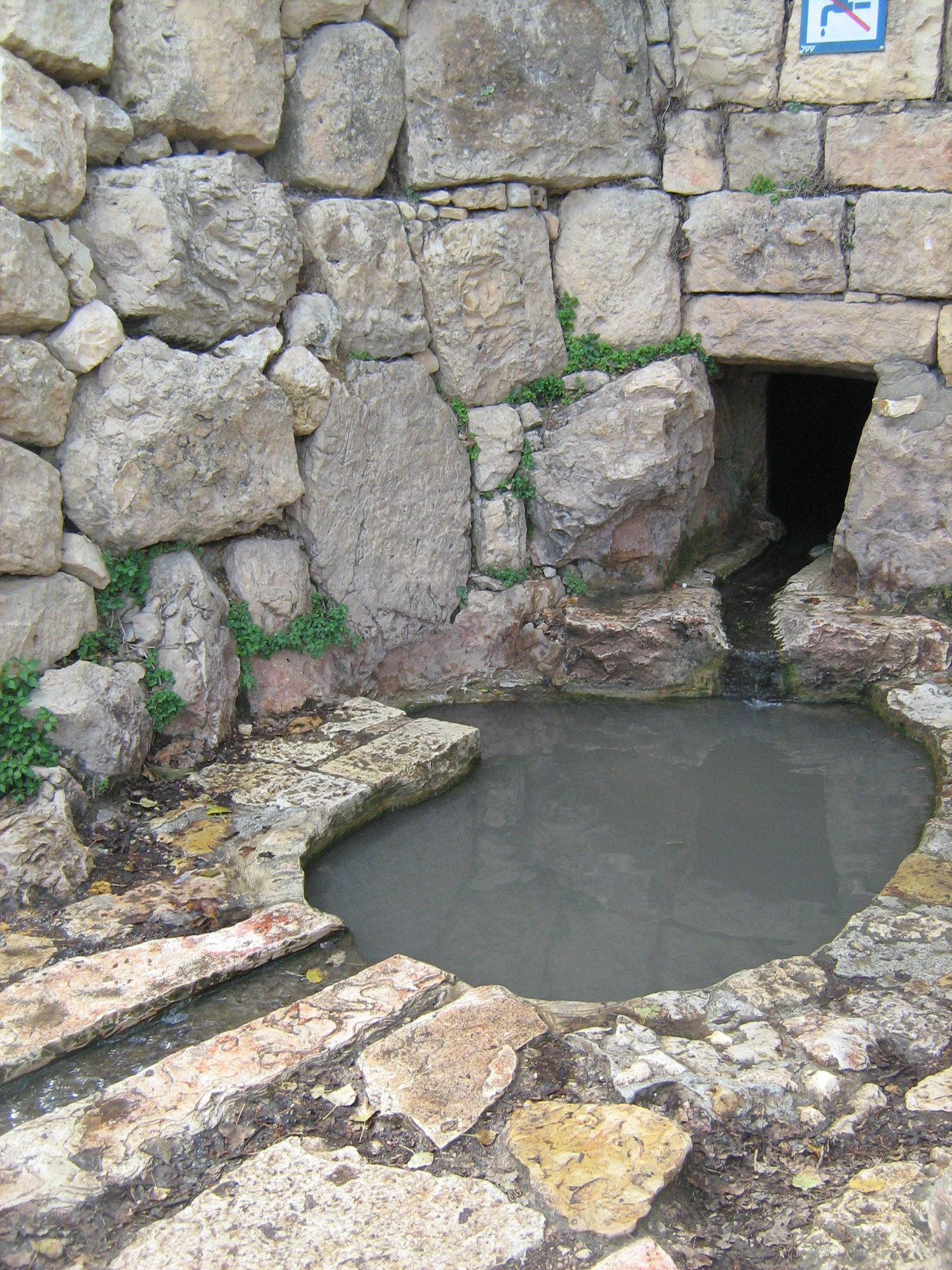
Sataf, located in the Jerusalem Subdistrict, is an archaeological site of significant historical value. The site reveals traces of habitation from the Chalcolithic period, approximately 4000 BCE, indicating one of the oldest agricultural settlements in the region. Throughout its history, Sataf has seen numerous phases of occupation, with substantial remains dating back to the Byzantine period. During the Mamluk and Ottoman periods, the site was documented in tax records, evolving into a village with characteristic stone houses and agricultural terraces. Following its depopulation during the 1948 Arab-Israeli War, efforts have been made to preserve its ancient terraces and springs, transforming Sataf into a tourist site that showcases historical agricultural techniques. Sataf serves as a testament to the region's complex history and cultural transitions over millennia.
Gallery
Explore photographs of ancient structures, artifacts, and archaeological excavations
Historical Timeline
Journey through time and discover key events in this site's history
Chalcolithic village
4000 BCE
Byzantine period structures
4th to 7th century CE
First written record
14th century CE
Ottoman village record
1525-1526 CE
Population census
1922 CE
Depopulation event
1948 CE
Archaeological Features
Unique architectural and cultural elements found at this historical site
Water Management Features
Religious and Ritual Structures
Agricultural and Land Use Features
Domestic and Habitation Structures
Frequently Asked Questions
Plan Your Visit
Tours, travel arrangements, and practical information
More Sites in Israel
Tel Kabri
Bronze Age Canaanite palace and settlement
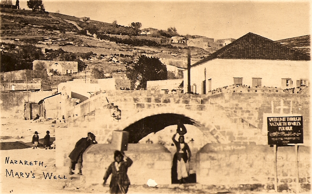
Mary's Well
Ancient water supply with religious significance
Tell Qasile
Philistine port city with temples and houses

Tel Tanninim
Ancient tell near Mediterranean with Byzantine remains

Ein Avdat
Desert canyon with springs and ancient habitations.
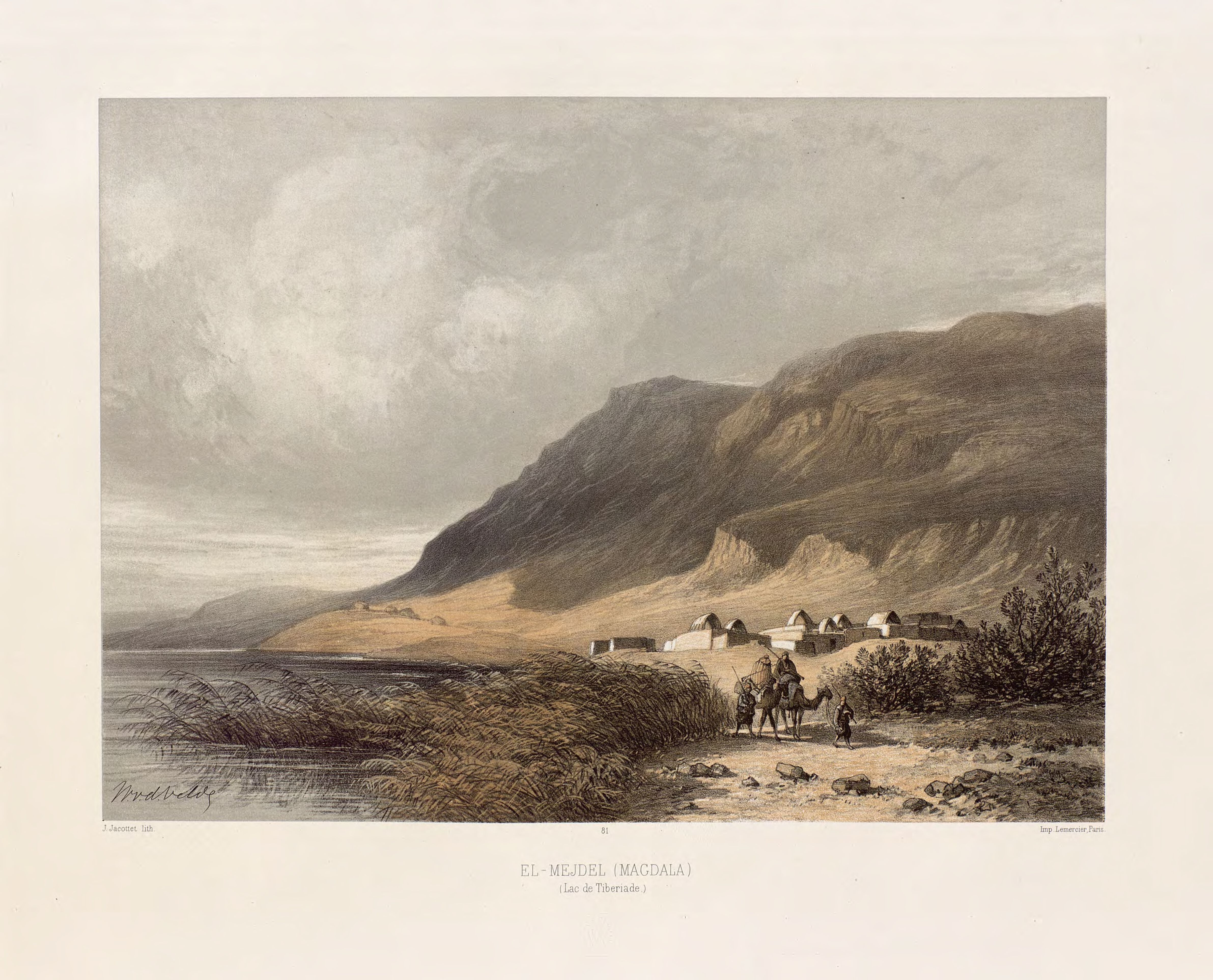
Magdala
Ancient Jewish city with Roman synagogues