Explore the Map
Khirbat Umm Burj
31.6367° N, 34.9697° E
About
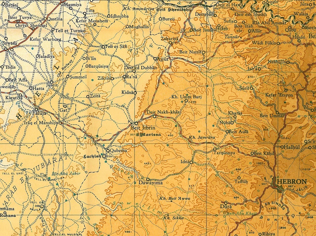
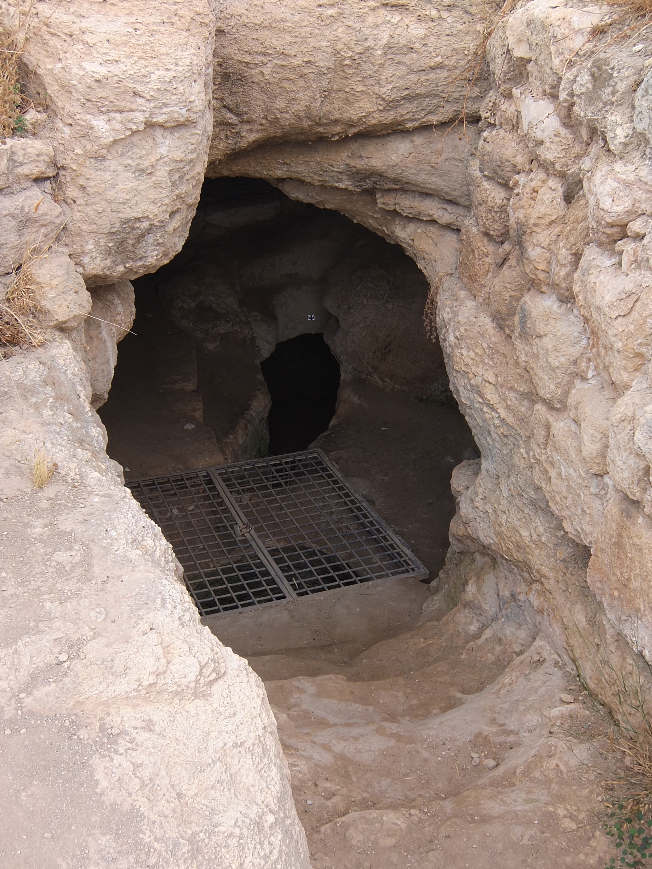
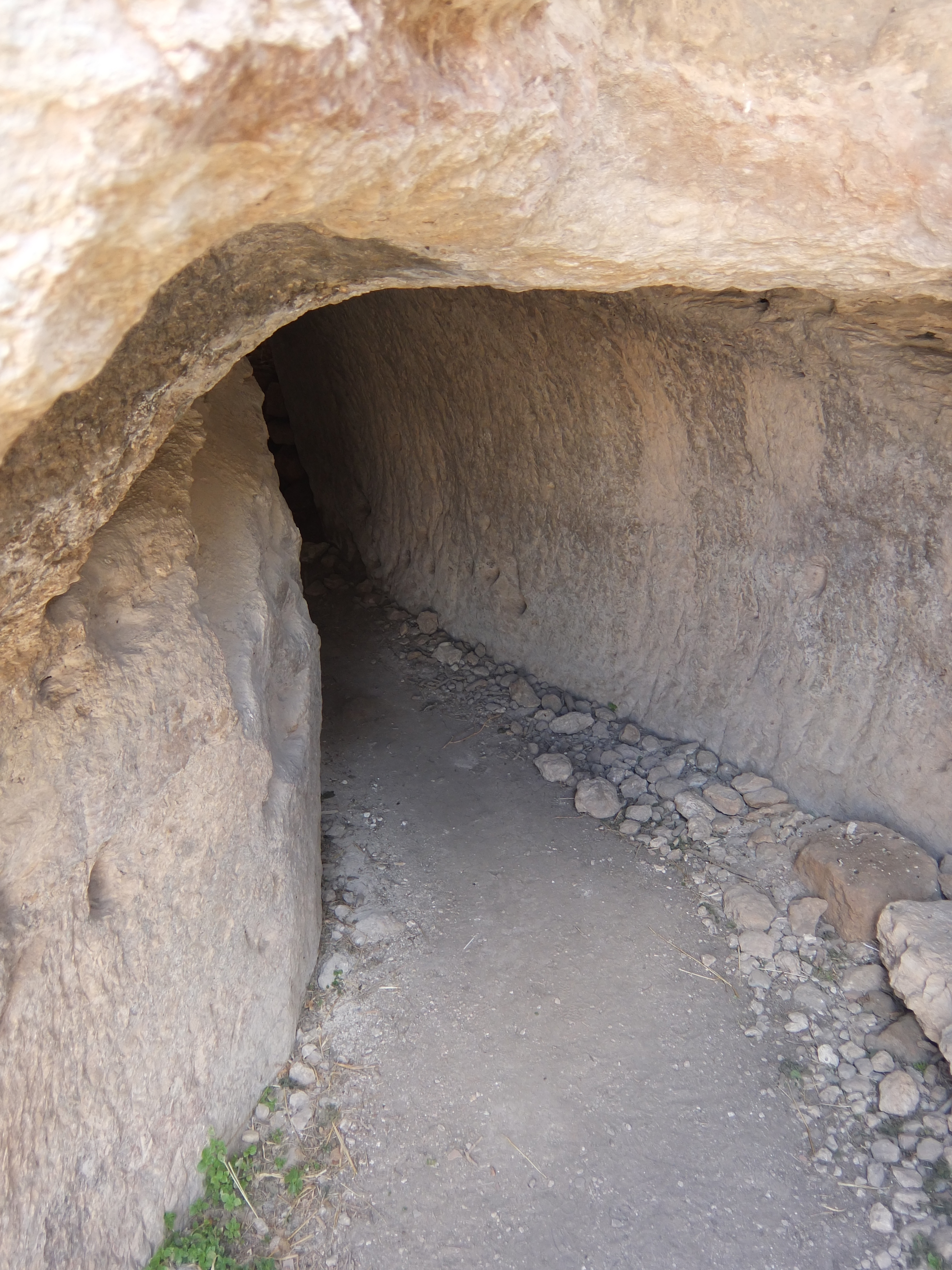
Khirbat Umm Burj is an archaeological site located on a hilltop, stretching over 30 dunams in the Hebron Subdistrict. It was occupied from the Iron Age, evident from its extensive ancient necropolis and religious structures, including remnants of a church or synagogue. The site may have been the location of the 1st-century Jewish village Kefar Bish. During the Bar Kokhba revolt, an inscription mentioning 'Shelamzion' was discovered in a hiding complex, indicating significant Jewish activity. In the Ottoman period, the village was noted for its strategic location and later settled by the Al-Husayni family. The site was depopulated in 1948 during the Arab-Israeli War and now lies within modern Israel. Archaeological excavations have uncovered Byzantine churches and other significant artifacts, highlighting its rich historical and cultural significance.
Gallery
Explore photographs of ancient structures, artifacts, and archaeological excavations

Historical Timeline
Journey through time and discover key events in this site's history
Iron Age Occupation
1200 BCE onward
1st Century - Possible Kefar Bish
1st century CE
Bar Kokhba Revolt Inscription
132 CE - 135 CE
19th Century Settlement
1800s CE
1948 - Depopulation
1948 CE
Archaeological Features
Unique architectural and cultural elements found at this historical site
Defensive Structures
Water Management Features
Burial and Funerary Structures
Religious and Ritual Structures
Domestic and Habitation Structures
Frequently Asked Questions
Plan Your Visit
Tours, travel arrangements, and practical information

More Sites in Israel
Tel Kabri
Bronze Age Canaanite palace and settlement
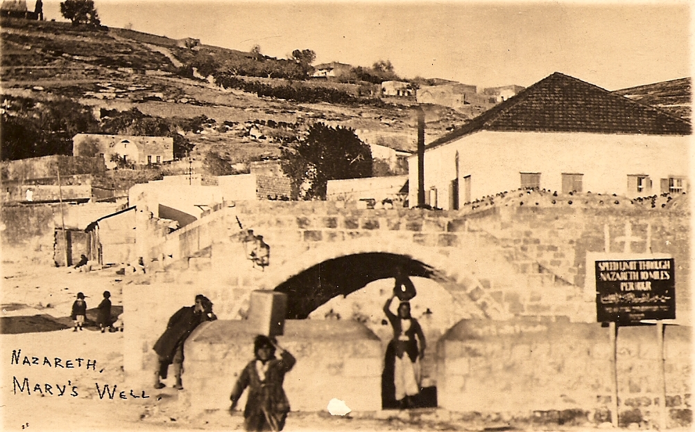
Mary's Well
Ancient water supply with religious significance
Tell Qasile
Philistine port city with temples and houses

Tel Tanninim
Ancient tell near Mediterranean with Byzantine remains
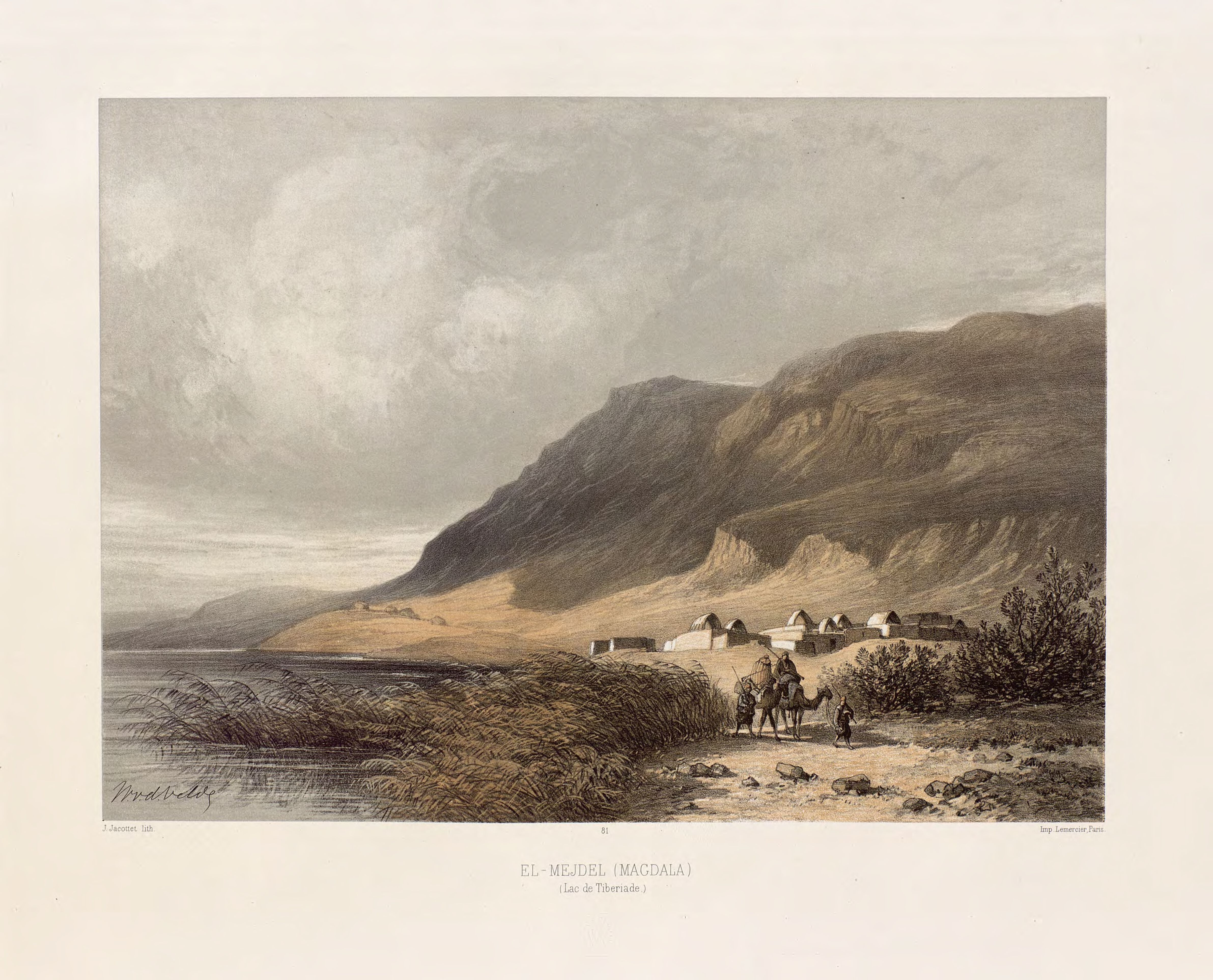
Magdala
Ancient Jewish city with Roman synagogues
Gath-hepher
Ancient town with prophet's tomb nearby.