Explore the Map
Kinneret (archaeological site)
32.8606° N, 35.5072° E
About
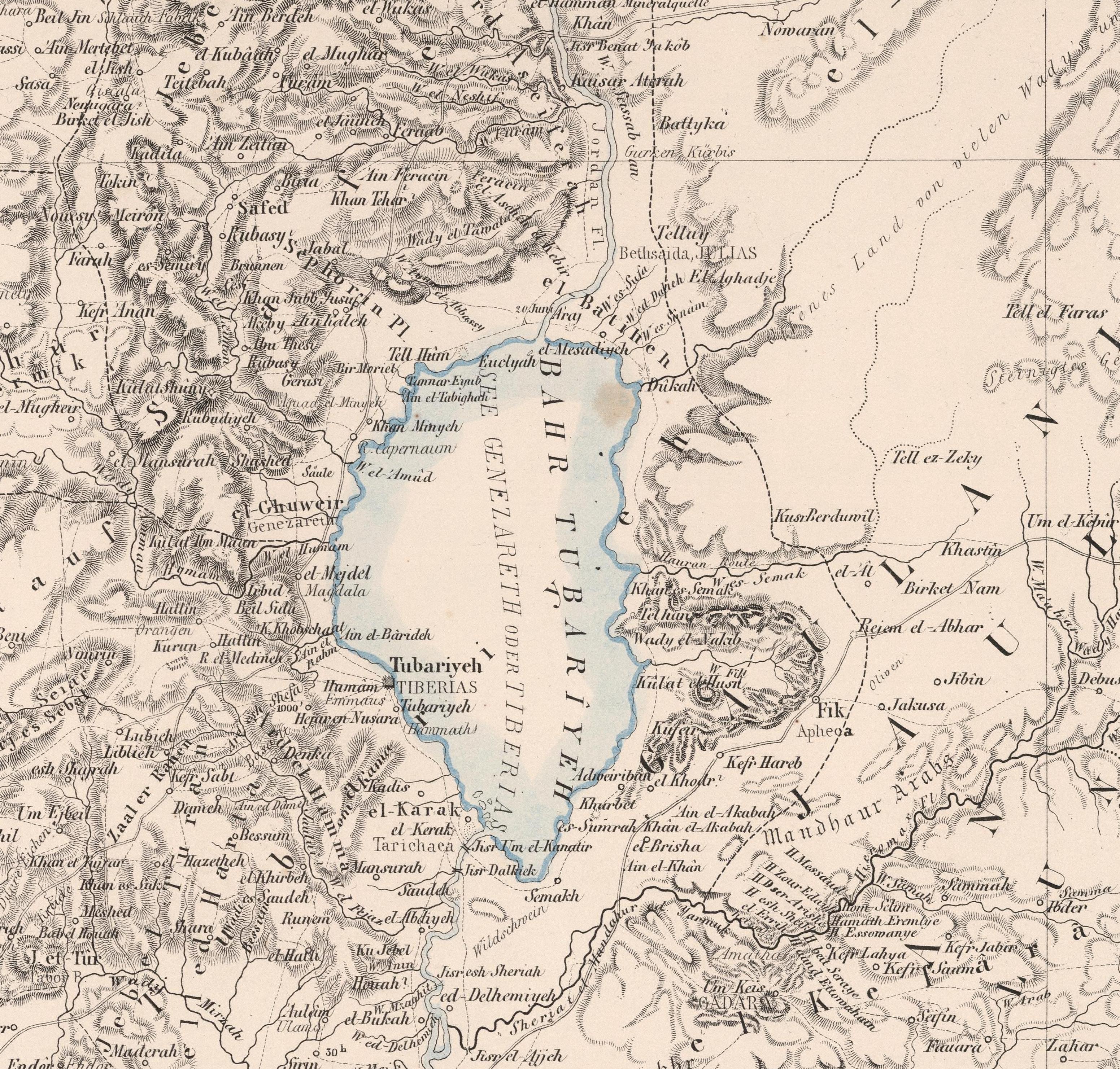
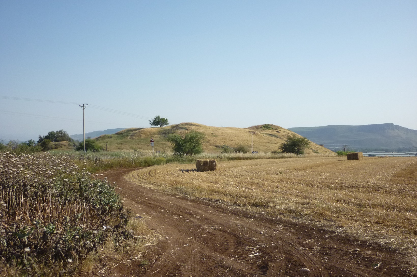
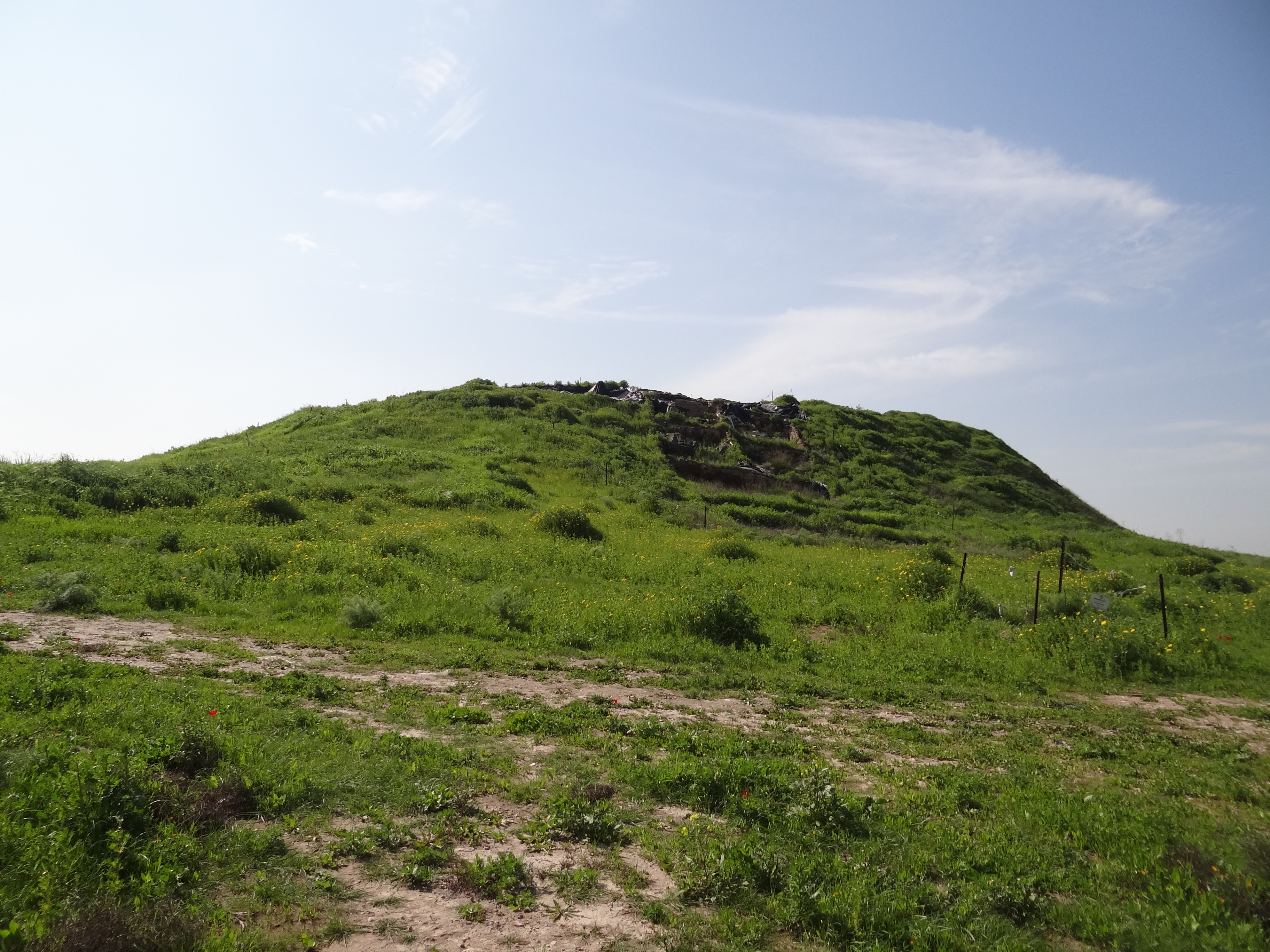
The archaeological site of Kinneret, also known as Tell el-'Oreimeh or Tel Kinrot, sits on the northwestern shore of the Sea of Galilee. This site has historical significance, as it was a prominent city during the Bronze and Iron Ages. Kinneret is thought to have been fortified, given its strategic location on a trade route and its elevated position overseeing the Plain of Ginosar. Archaeological evidence suggests occupation dating back to the Early Bronze Age. Throughout history, it was known for its fertile lands, as mentioned in various ancient texts, including the Hebrew Bible and the Annals of Thutmose III. The site offers insights into the urban development of ancient Canaanite and Israelite cultures and their interactions with neighboring civilizations.
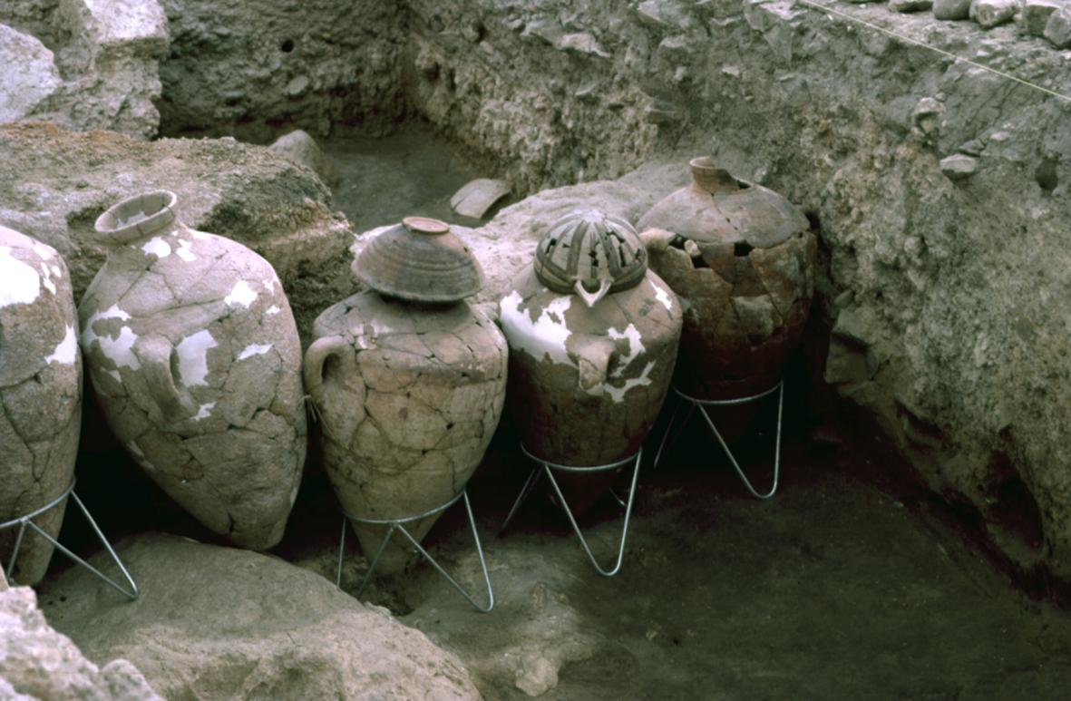
Gallery
Explore photographs of ancient structures, artifacts, and archaeological excavations

Historical Timeline
Journey through time and discover key events in this site's history
Mentioned in Annals of Thutmose III
15th century BCE
Biblical Allotment to Naphtali
13th century BCE
Archaeological Features
Unique architectural and cultural elements found at this historical site
Defensive Structures
Domestic and Habitation Structures
Frequently Asked Questions
Plan Your Visit
Tours, travel arrangements, and practical information
More Sites in Israel
Tel Kabri
Bronze Age Canaanite palace and settlement
Timna Valley
Copper mining and unique sandstone formations
Tell Abu Hawam
Bronze Age port city near Haifa
Tel Zayit
Ancient city with alphabetic inscription evidence.
Tell Qasile
Philistine port city with temples and houses
Gath-hepher
Ancient town with prophet's tomb nearby.