Explore the Map
Mount Adir
33.0325° N, 35.3722° E
About
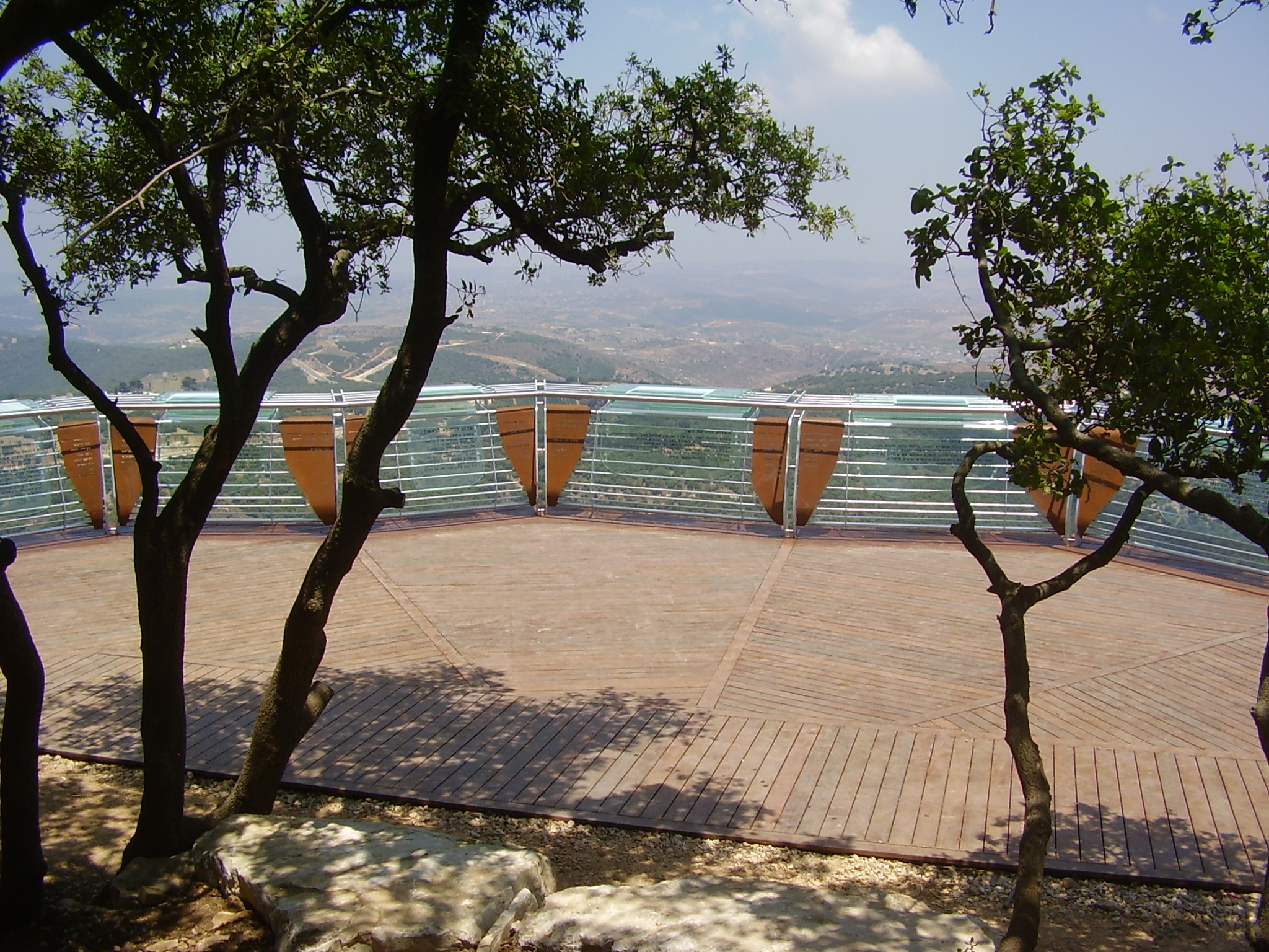
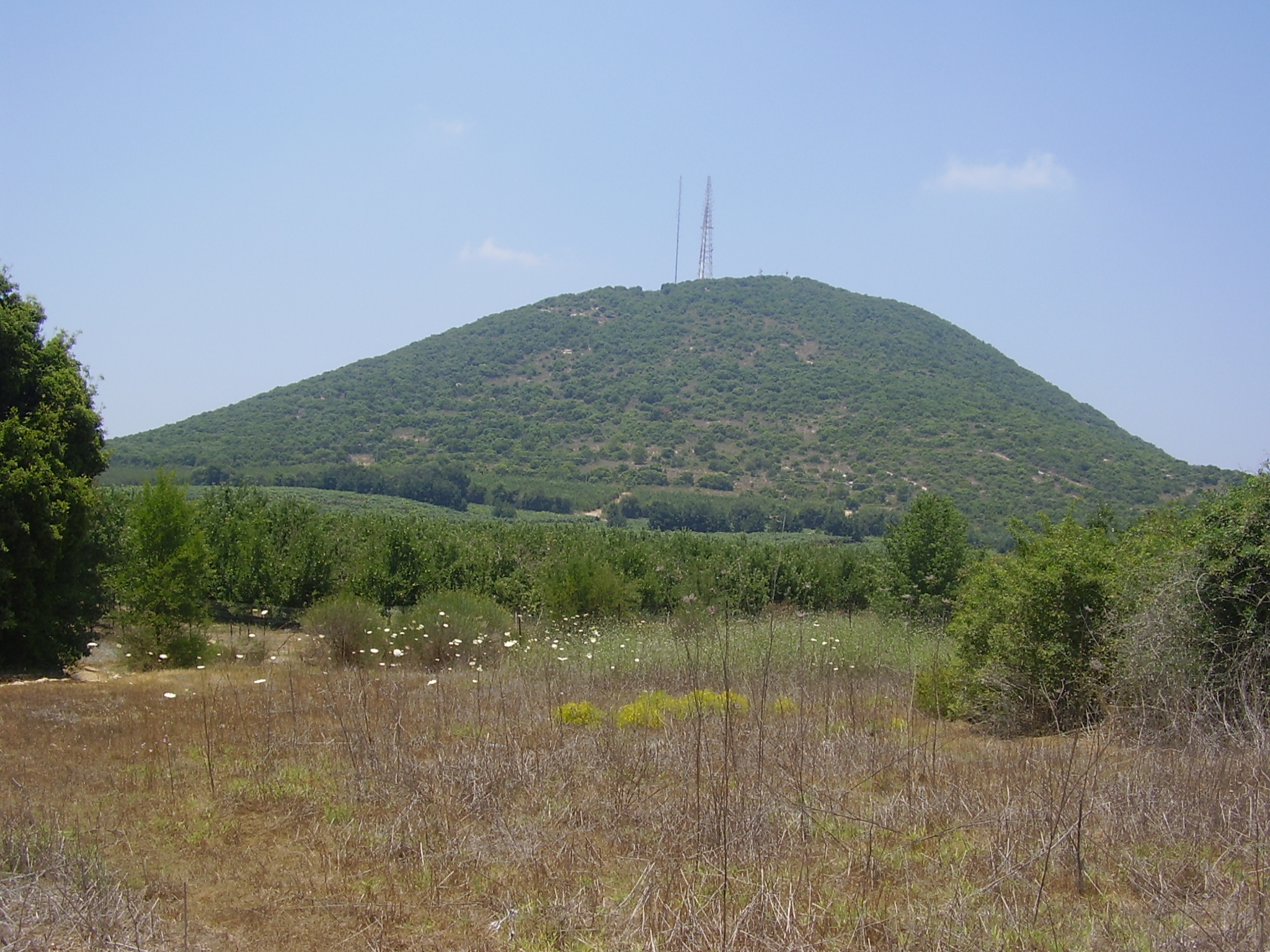
Mount Adir, located in the Upper Galilee region of Israel, is a significant archaeological site due to the remnants of an Iron Age fortress found there. This fortress is believed to have been constructed by the Omride dynasty of the Kingdom of Israel. Rising to a height of 1,008 meters, the mountain is one of Israel's highest and provides strategic views towards Lebanon. The dense Mediterranean forest covering the mountain adds to the site's natural beauty. Archaeologically, the fortress represents the defensive structures of the Early Iron Age, dating back to the 9th century BCE. The mountain's historical and archaeological significance is enhanced by the panoramic views it offers and the modern commemorations related to the Second Lebanon War.
Gallery
Explore photographs of ancient structures, artifacts, and archaeological excavations

Historical Timeline
Journey through time and discover key events in this site's history
Iron Age fortress construction
900 BCE
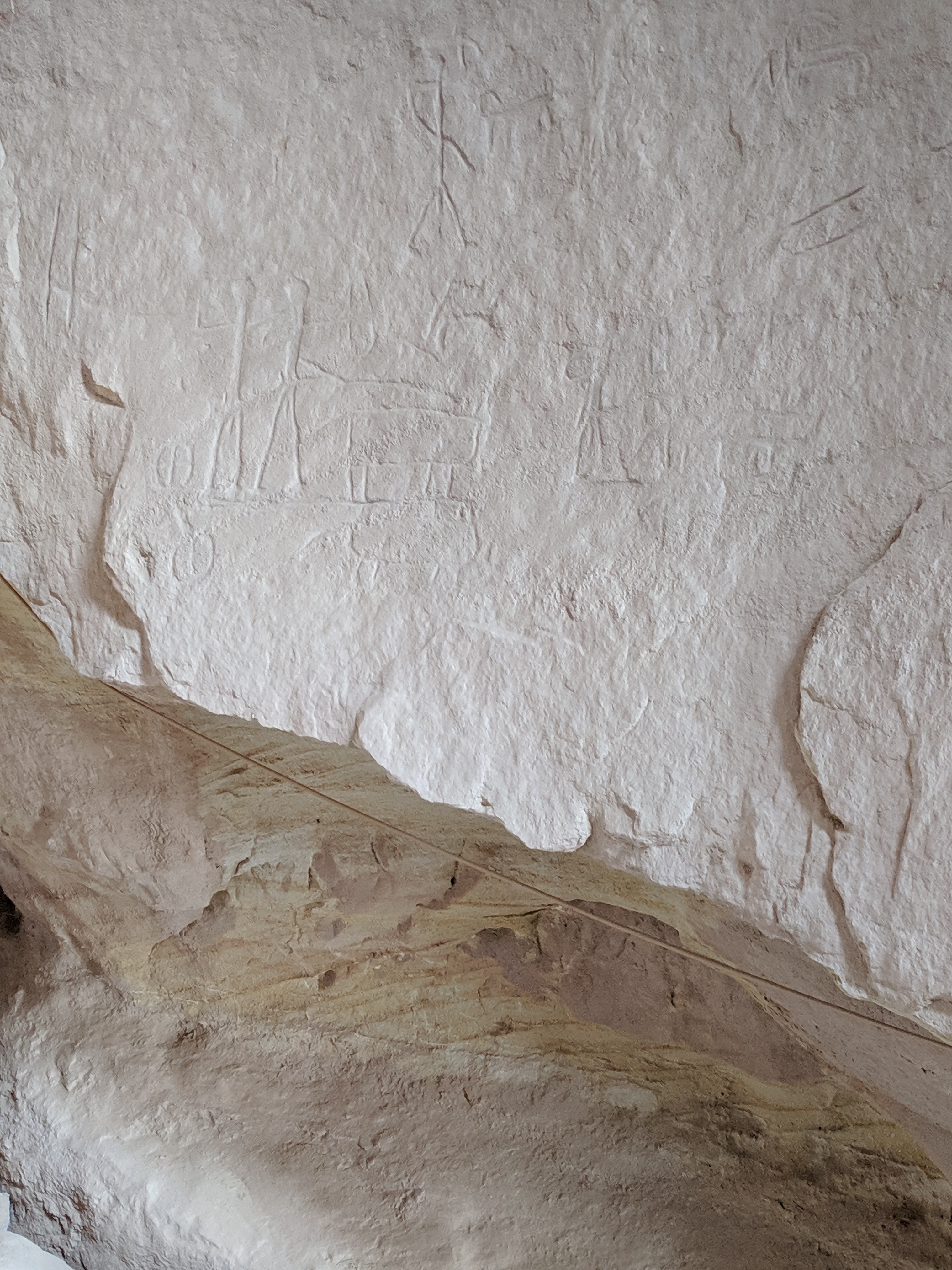
Archaeological Features
Unique architectural and cultural elements found at this historical site
Defensive Structures
Frequently Asked Questions
Plan Your Visit
Tours, travel arrangements, and practical information
Recommended Tours

More Sites in Israel
Timna Valley
Copper mining and unique sandstone formations
Tel Be'er Sheva
Iron Age city with fortified structures
Gath-hepher
Ancient town with prophet's tomb nearby.
Tell Abu Hawam
Bronze Age port city near Haifa
Tell Qasile
Philistine port city with temples and houses

Tel Tanninim
Ancient tell near Mediterranean with Byzantine remains