
Explore the Map
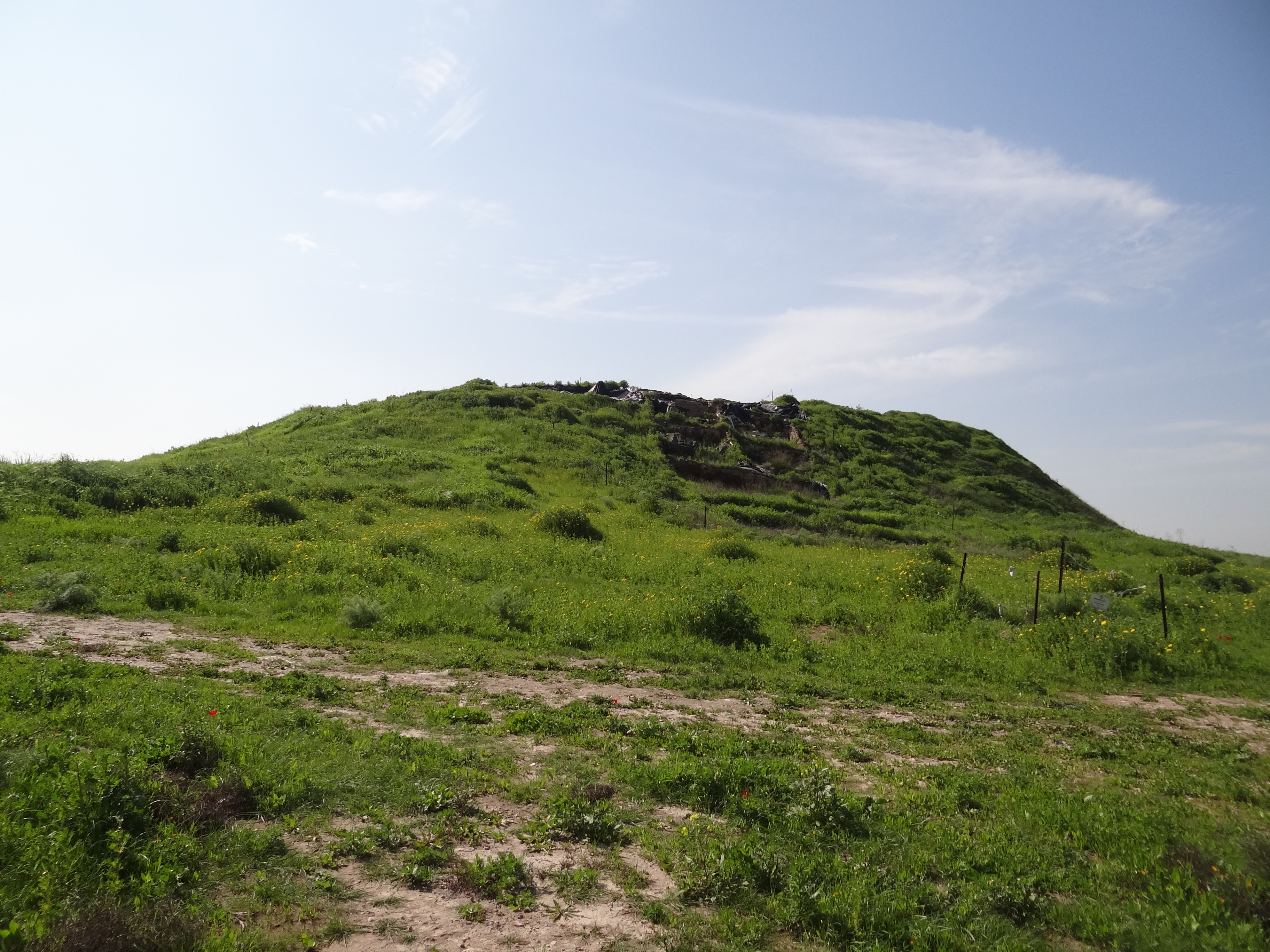
Tell Beit Mirsim
31.4558° N, 34.9098° E
About
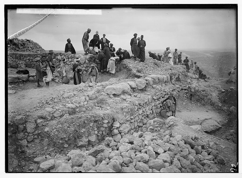
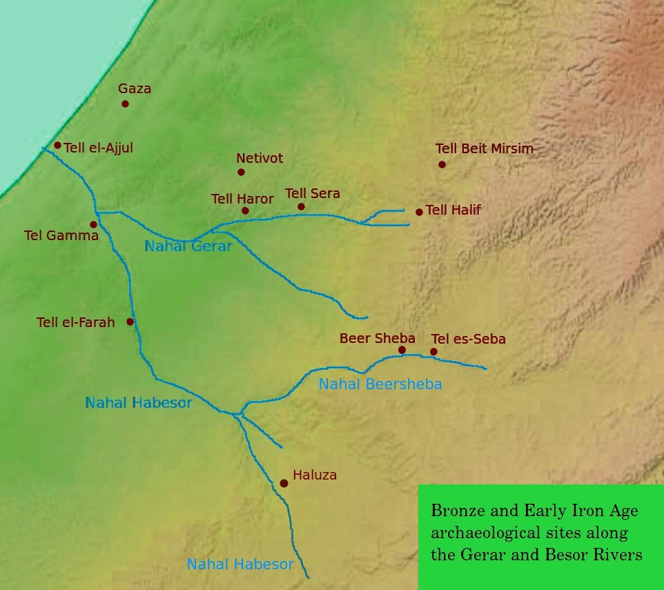
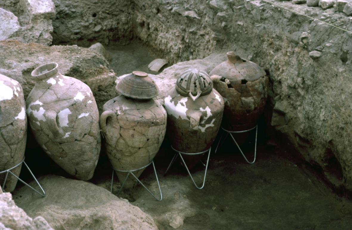
Tell Beit Mirsim is a prominent archaeological site in Israel, situated on the boundary between the lowlands of Shfela and Mount Hebron. This site, excavated by William F. Albright in the early 20th century, revealed a sequence of 10 or 11 strata spanning from the late 3rd millennium BCE to around 589 BCE. Among its most significant findings are well-preserved ceramic layers that have become a standard reference for regional archaeology. The site features a town plan typical of the Kingdom of Judah, comparable to other known locations such as Beit Shemesh and Beersheba. Additionally, installations for olive oil production were identified, corroborating the site’s role in ancient industrial activities. Although initially identified with the biblical city of Dvir (Debir), this identification has since been reconsidered by the archaeological community.
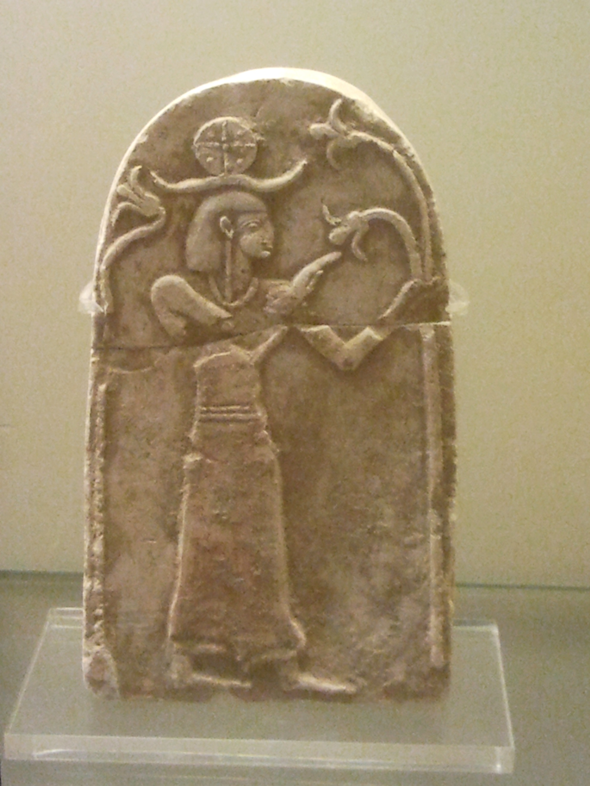
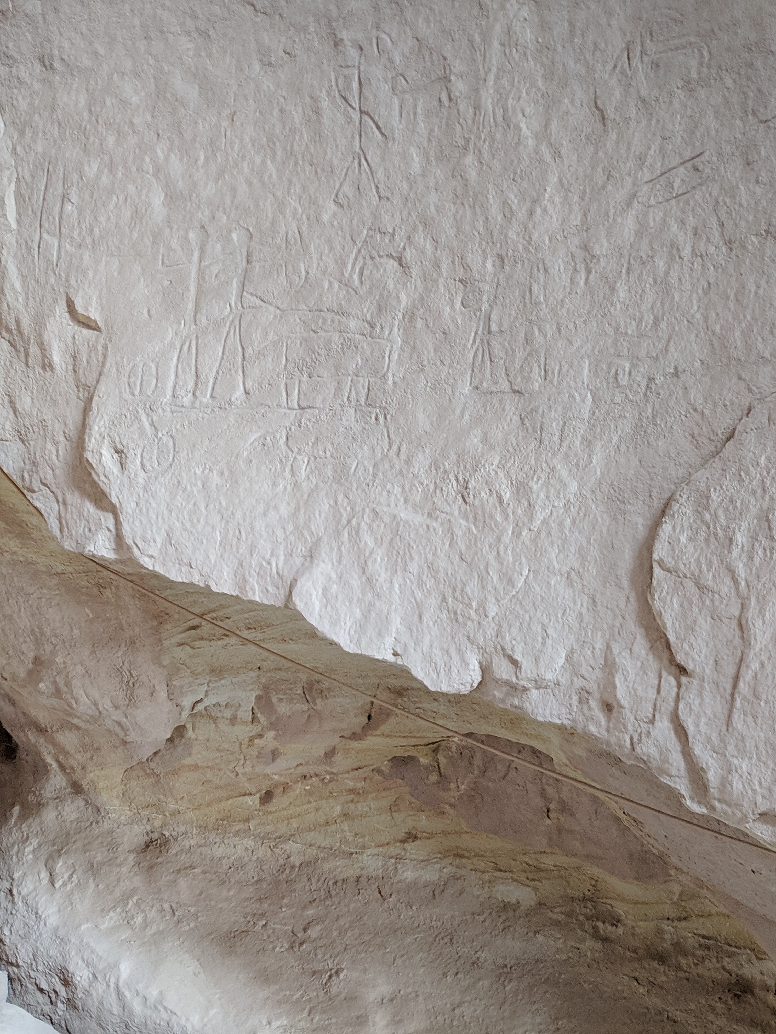
Gallery
Explore photographs of ancient structures, artifacts, and archaeological excavations
Historical Timeline
Journey through time and discover key events in this site's history
Settlement Phase
Destruction or Abandonment
589 BCE
Archaeological Features
Unique architectural and cultural elements found at this historical site
Industrial and Craft Structures
Domestic and Habitation Structures
Frequently Asked Questions
Plan Your Visit
Tours, travel arrangements, and practical information


More Sites in Israel
Timna Valley
Copper mining and unique sandstone formations
Tell Qasile
Philistine port city with temples and houses
Tel Kabri
Bronze Age Canaanite palace and settlement
Tel Zayit
Ancient city with alphabetic inscription evidence.
Tell Abu Hawam
Bronze Age port city near Haifa

Ein Avdat
Desert canyon with springs and ancient habitations.