Explore the Map
Tell Qudadi
32.1033° N, 34.7770° E
About
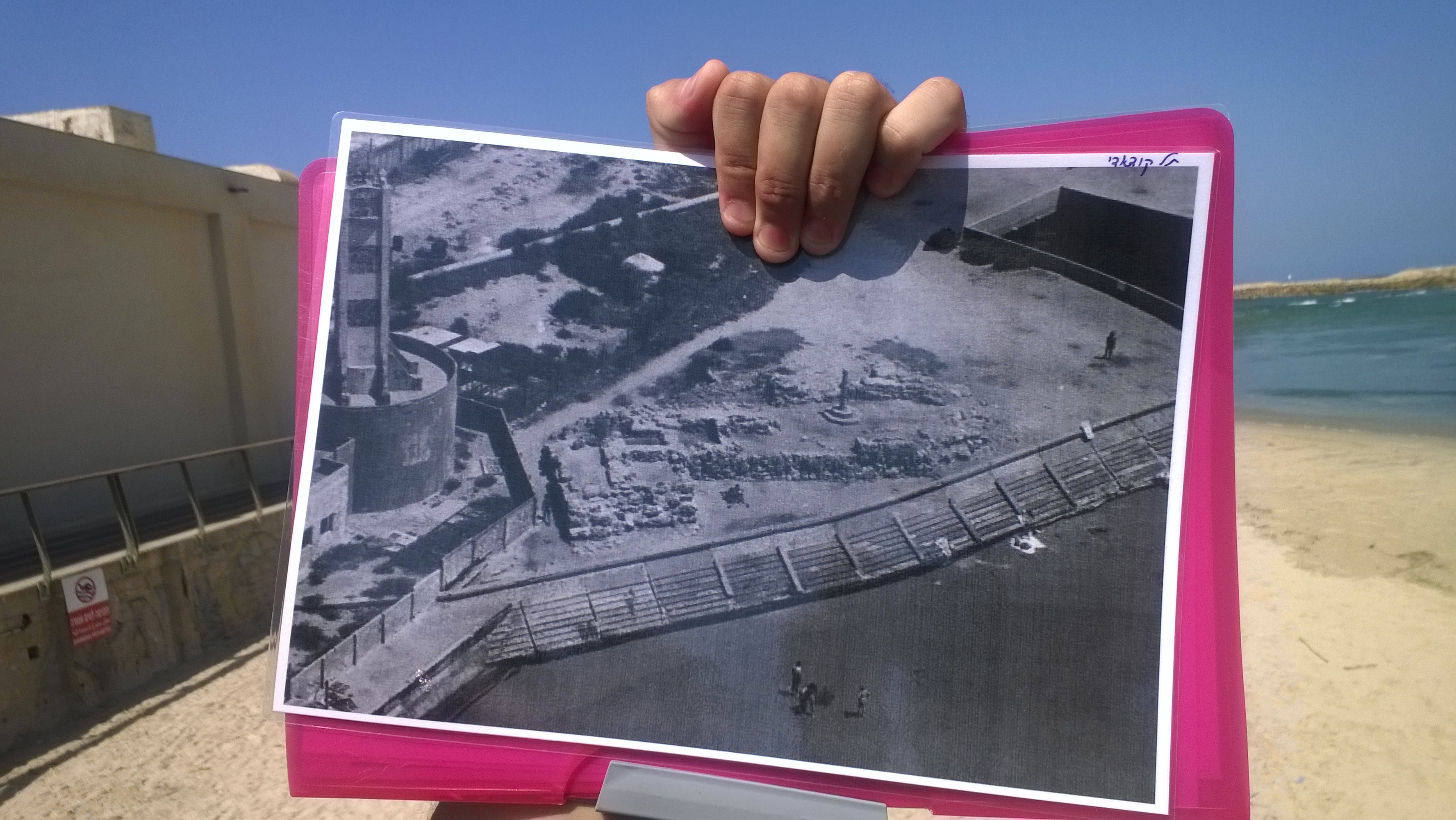
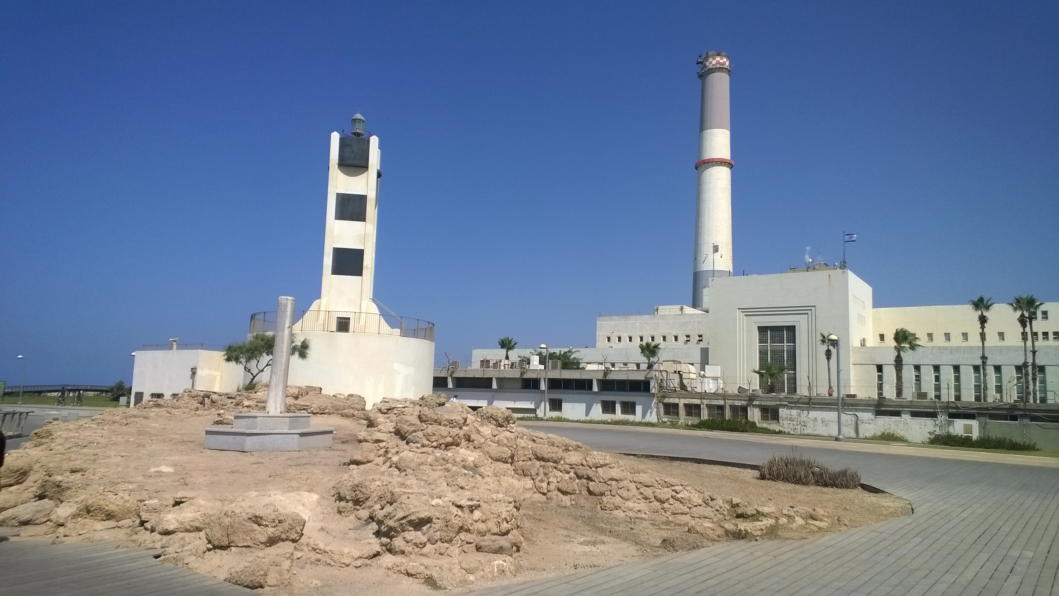
Tell Qudadi is an archaeological site located near the mouth of the Yarkon River in Tel Aviv, Israel. The site features a fortress constructed during the late 8th century BCE under Assyrian rule. This defensive structure showcases the strategic significance of the location, which controlled a historical trade route. The fortress was destroyed in 732 BCE, likely due to an Assyrian military campaign, and was abandoned following the Assyrian withdrawal in the late 7th century BCE. In addition to the Iron Age fortress, the site yielded pottery from various periods, including the Early Bronze Age, Persian, Byzantine, and Early Arab periods. Notably, a Greek amphora from Lesbos was discovered, marking the earliest known presence of Lesbian ceramic work along the Mediterranean coast.
Gallery
Explore photographs of ancient structures, artifacts, and archaeological excavations

Historical Timeline
Journey through time and discover key events in this site's history
Construction of Fortress
late 8th century BCE
Destruction of Fortress
732 BCE
Abandonment of Fortress
after 650 BCE
Archaeological Features
Unique architectural and cultural elements found at this historical site
Storage Structures
Defensive Structures
Frequently Asked Questions
Plan Your Visit
Tours, travel arrangements, and practical information


More Sites in Israel
Tell Qasile
Philistine port city with temples and houses
Tel Kabri
Bronze Age Canaanite palace and settlement

Ein Avdat
Desert canyon with springs and ancient habitations.
Tel Tanninim
Ancient tell near Mediterranean with Byzantine remains
Timna Valley
Copper mining and unique sandstone formations
Magdala
Ancient Jewish city with Roman synagogues