Umm Al-Jimāl
<p>The property is a rural settlement in northern Jordan that developed organically on the site of an earlier Roman settlement around the 5th century CE and…
Explore the Map
Umm Al-Jimāl
32.3269° N, 36.3700° E
About
<p>The property is a rural settlement in northern Jordan that developed organically on the site of an earlier Roman settlement around the 5th century CE and functioned until the end of the 8th century CE. It preserves basaltic structures from the Byzantine and Early Islamic periods that represent the local architecture style of the Hauran region, with some earlier Roman military buildings re-purposed by later inhabitants. The settlement formed part of a broader agricultural landscape that included a complex water catchment system, which sustained agriculture and animal herding. The earliest st
Plan Your Visit
Tours, travel arrangements, and practical information
Details
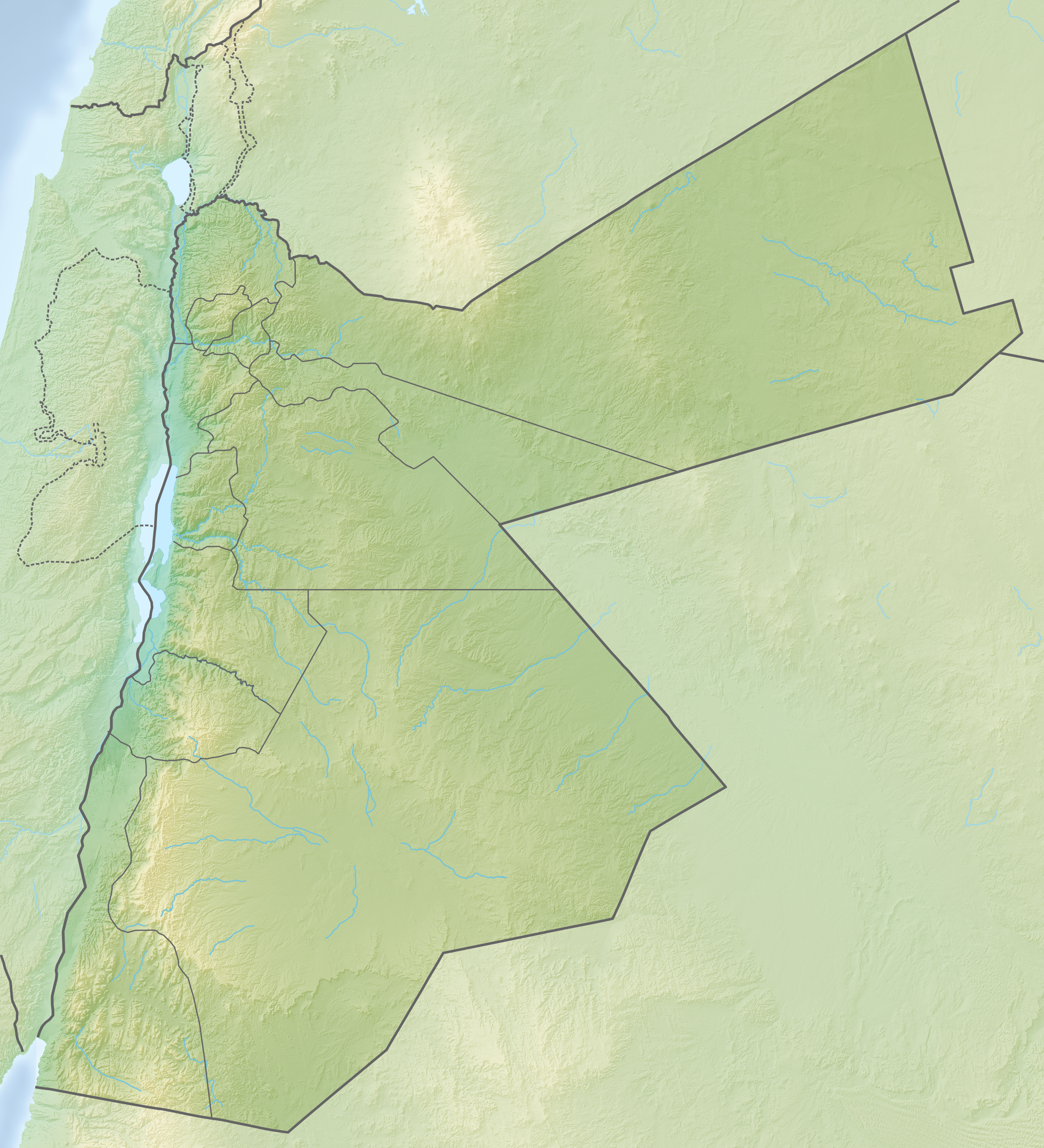
Jordan
32.33° N, 36.37° E
More Sites in Jordan
Synagogue-Church at Gerasa
Byzantine synagogue converted to church
Khirbet es-Sar
Ancient settlement with temple complex.
Ayn al-Habis
12th century cave castle in Jordan
Tall al-Umayri
Archaeological site with temple and farms
Tall Damiyah
Iron Age mound with unique artifacts
Numeira
Early Bronze Age walled settlement near Dead Sea.