Explore the Map
Hyrax Hill
0.2822° N, 36.1039° E
About
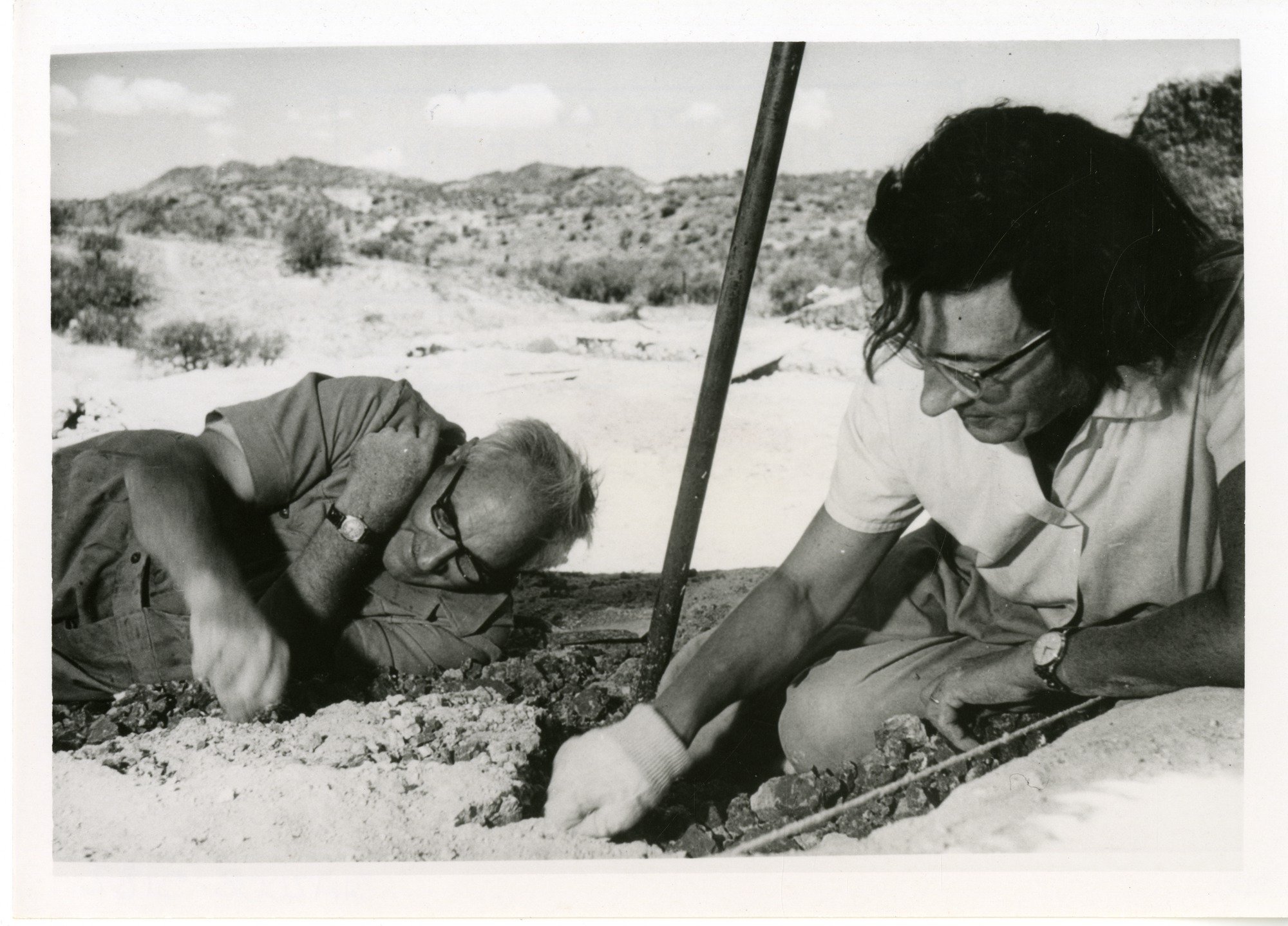
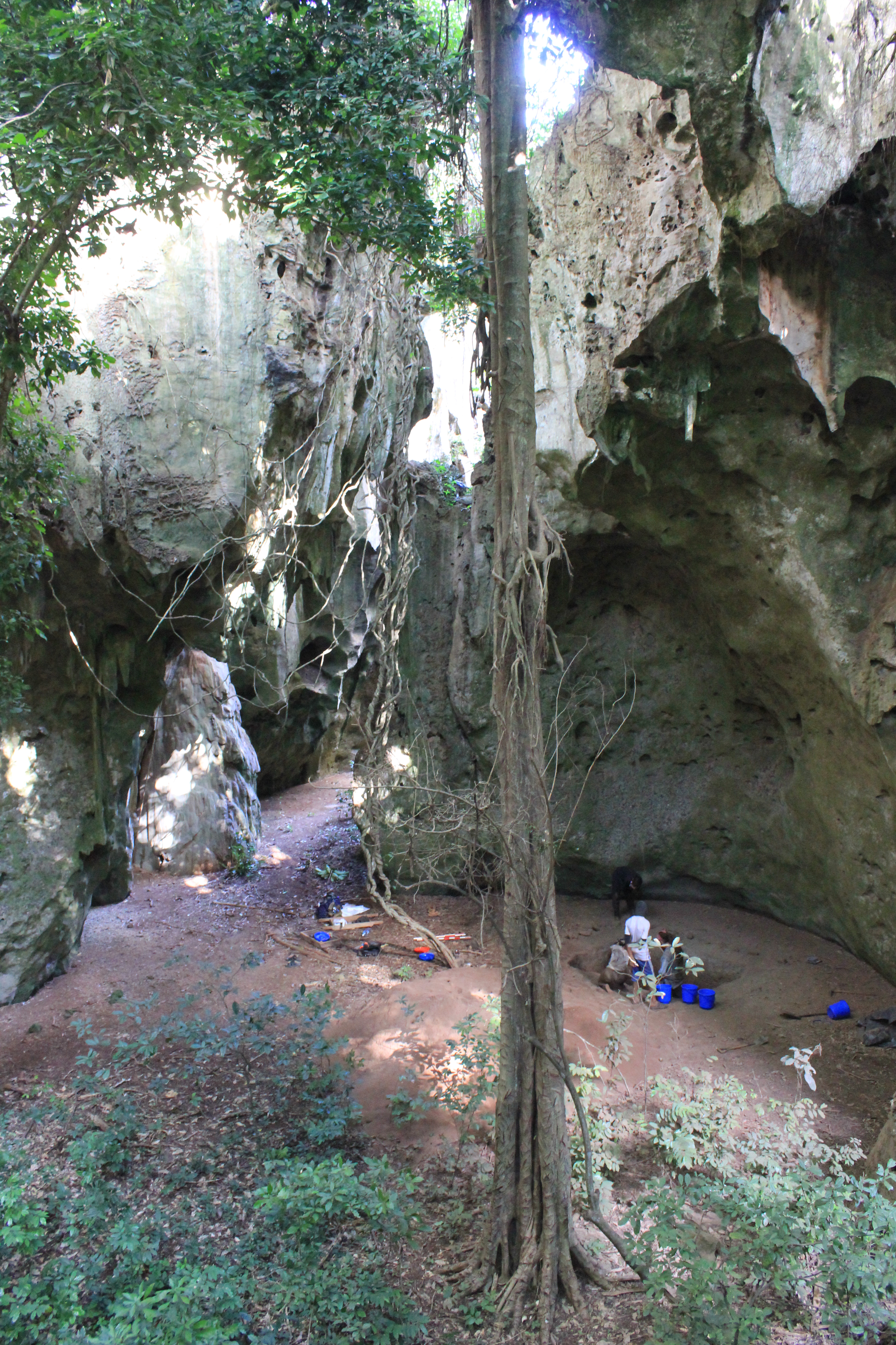
Hyrax Hill is a prehistoric site near Nakuru in the Rift Valley province of Kenya. It is a rocky spur roughly half a kilometer in length, with an elevation of 1,900 meters above sea level at its summit. The site was first discovered in 1926 by Louis Leakey during excavations at the nearby Nakuru Burial Site, and Mary Leakey conducted the first major excavations between 1937 and 1938. There are two distinct areas of occupation at Hyrax Hill: one which was occupied during the Pastoral Neolithic and late Iron Age, and one which was occupied by the Sirikwa earlier in the Iron Age. Hyrax Hill is named after the hyrax, a small mammal that lives in rocky areas. Hyraxes were once common in the rocky crevasses of Hyrax Hill, but their numbers have dropped in recent years due to the rapid urbanization of the surrounding area. Hyrax Hill is the location of Hyrax Hill Prehistoric Site and Museum.
Gallery
Explore photographs of ancient structures, artifacts, and archaeological excavations

Historical Timeline
Journey through time and discover key events in this site's history
Louis Leakey discovery
1926
Iron Age layer at Site I
c. 200 years ago
Lake levels begin to fall
starting 3500 years ago
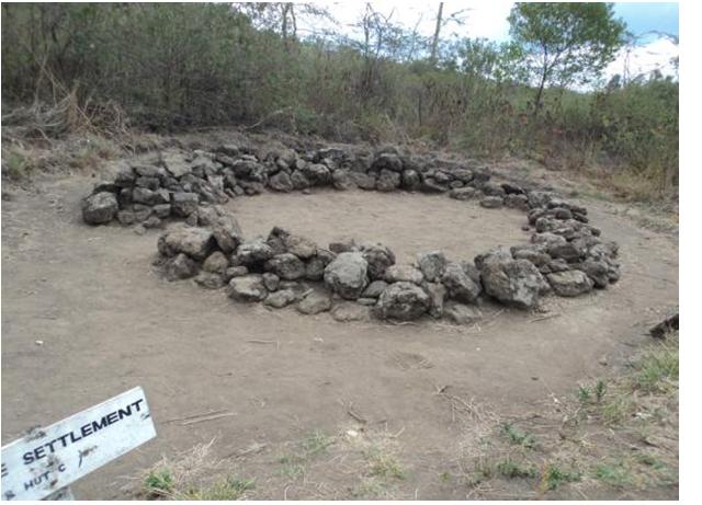
Sirikwa occupation of Site II
12th–15th centuries AD
Major excavations by Mary Leakey
1937–1938
National Museums acquisition and display excavation
1965
Early occupation of Site I
c. 5000–6000 years ago
Archaeological Features
Unique architectural and cultural elements found at this historical site
Animal Husbandry Features
Burial and Funerary Structures
Artistic and Decorative Features
Agricultural and Land Use Features
Domestic and Habitation Structures
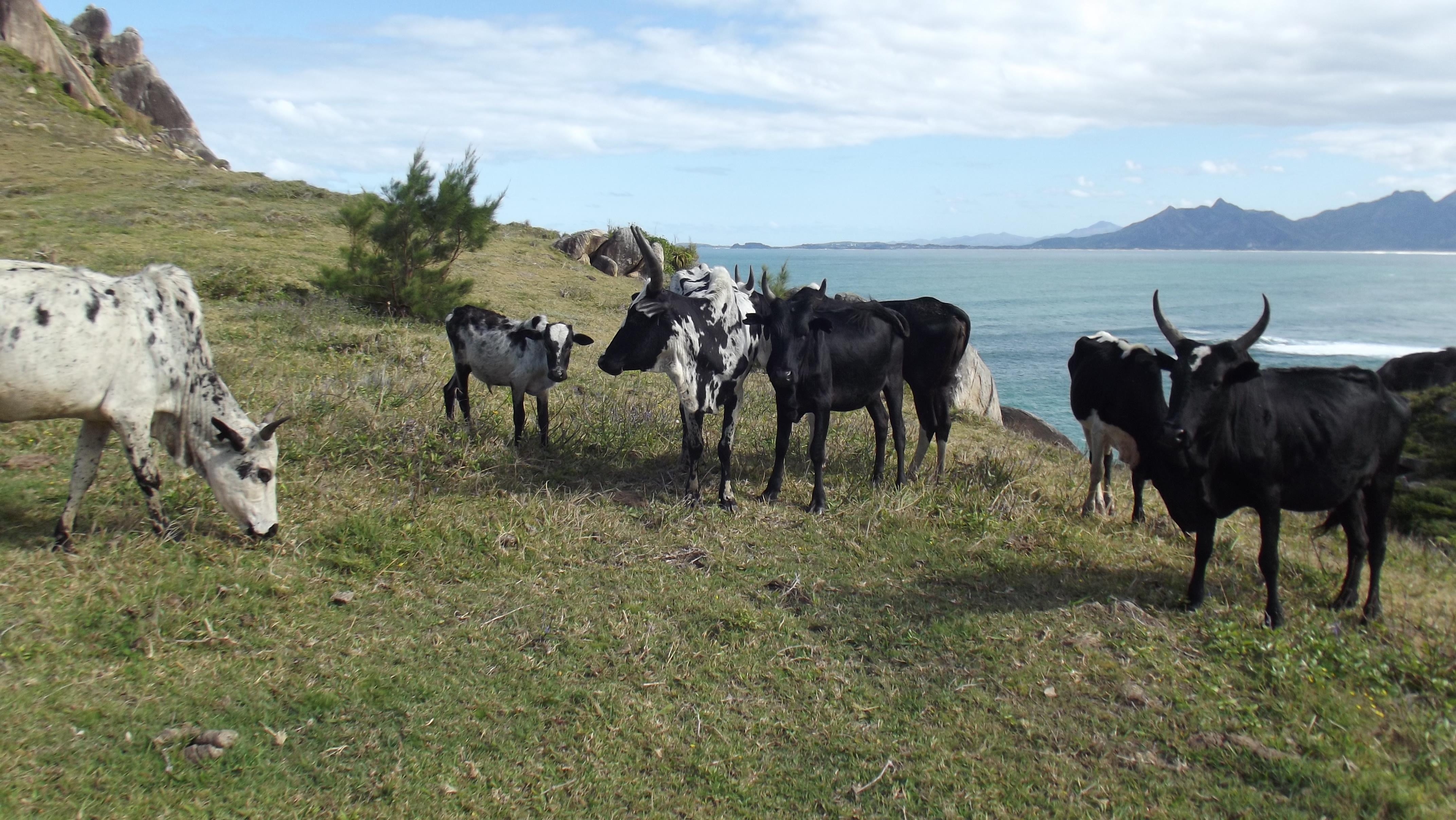
Environmental and Natural Features
Food Production and Processing Features
Frequently Asked Questions
Plan Your Visit
Tours, travel arrangements, and practical information
More Sites in Kenya
Enkapune Ya Muto
Rock shelter with Middle to Late Stone Age artifacts
Hyrax Hill Prehistoric Site and Museum
Prominent rocky ridge with multiple occupation layers.
Gogo Falls
Prehistoric site with Neolithic and Iron Age artifacts
Panga ya Saidi
Kenyan cave with multi-period archaeological deposits
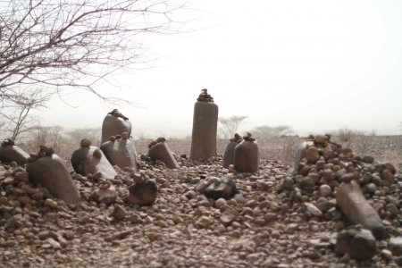
Kalokol Pillar Site
Basalt pillars in circular stone formation
Njoro River Cave
Ritual cremation site with artifacts.