Explore the Map
Navekat
42.9156° N, 75.0083° E
About
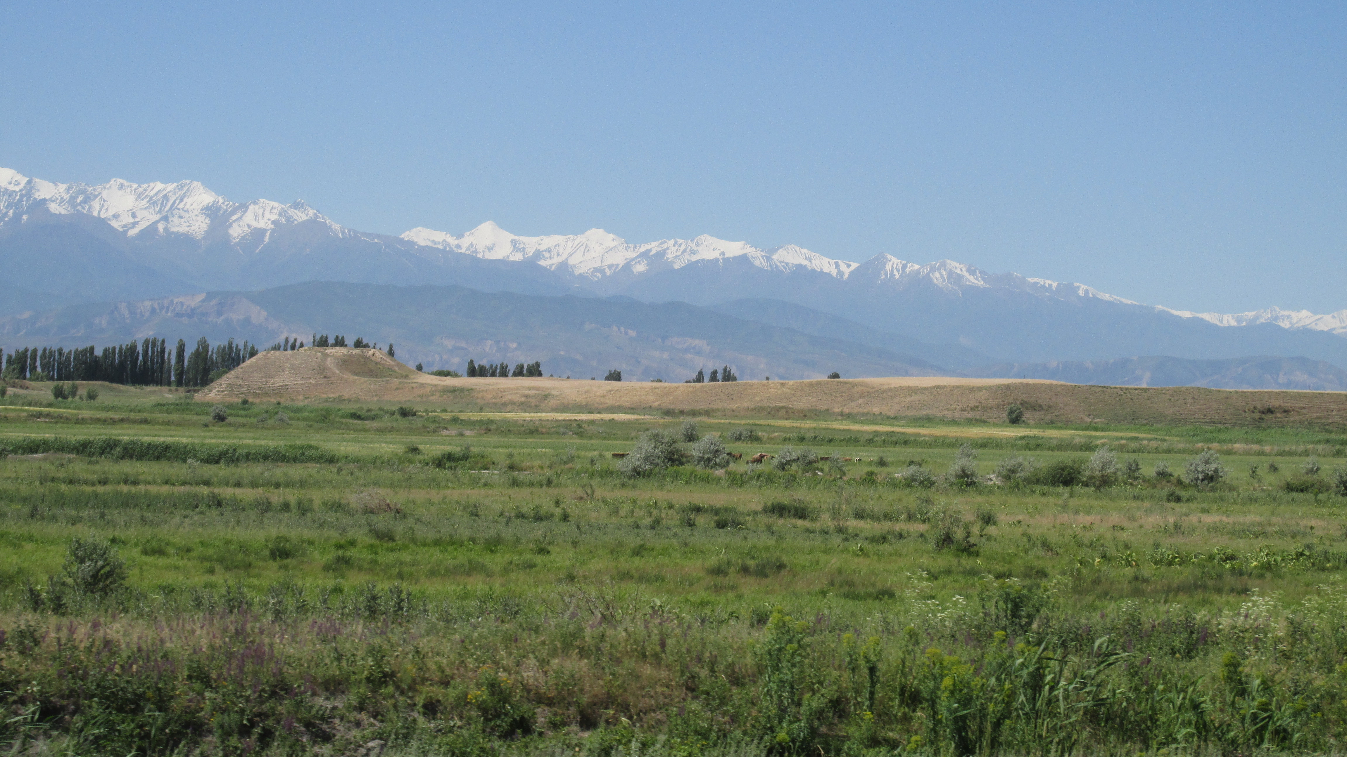
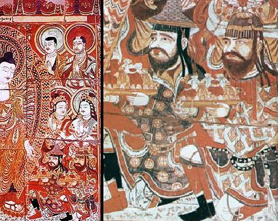
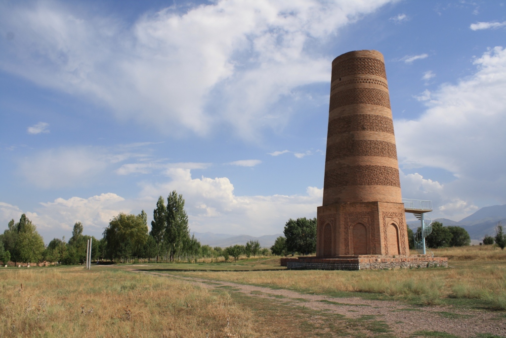
Navekat, located near the modern village of Krasnaya Rechka in Kyrgyzstan's Chüy Valley, was a major Silk Road city thriving from the 6th to 12th centuries CE. As an important trading hub, it featured a complex urban design with two defensive walls encircling the city. The inner wall protected the Shahristan, the administrative center, while the outer wall enclosed public buildings, markets, and agricultural spaces. A prominent citadel was situated on a massive earthen platform, which is one of the largest man-made mounds worldwide. The city's diverse cultural influences are evident in the artifacts uncovered, including a golden burial mask and an 8-meter-long reclining Buddha statue within its Buddhist temples. Navekat is a testament to the region's rich cultural heritage and its strategic importance along the Silk Road.
Gallery
Explore photographs of ancient structures, artifacts, and archaeological excavations

Historical Timeline
Journey through time and discover key events in this site's history
Navekat Flourishes
6th century CE
Reclining Buddha Statue
6th century CE
Buddhist Temple Construction
6th century CE
Archaeological Features
Unique architectural and cultural elements found at this historical site
Defensive Structures
Burial and Funerary Structures
Religious and Ritual Structures
Domestic and Habitation Structures
Environmental and Natural Features
Frequently Asked Questions
Plan Your Visit
Tours, travel arrangements, and practical information
More Sites in Kyrgyzstan

Manas Ordo
14th-century mausoleum with kufic script
Koshoy Korgon
Ruined mud fortress of uncertain date
Suyab
Ancient Silk Road city with diverse ruins
Shakh Fazil
Qarakhanid mausoleum complex, 11th century
Balasagun
Ancient city on the Silk Road.

Tash Rabat
15th-century stone caravanserai in Kyrgyzstan