Vegaøyan – The Vega Archipelago
<p>A cluster of dozens of islands centred on Vega, just south of the Arctic Circle, forms a cultural landscape of 107,294 ha, of which 6,881 ha is land. The…
Explore the Map
Vegaøyan – The Vega Archipelago
65.6167° N, 11.7500° E
About
<p>A cluster of dozens of islands centred on Vega, just south of the Arctic Circle, forms a cultural landscape of 107,294 ha, of which 6,881 ha is land. The islands bear testimony to a distinctive frugal way of life based on fishing and the harvesting of the down of eider ducks, in an inhospitable environment. There are fishing villages, quays, warehouses, eider houses (built for eider ducks to nest in), farming landscapes, lighthouses and beacons. There is evidence of human settlement from the Stone Age onwards. By the 9th century, the islands had become an important centre for the supply of
Plan Your Visit
Tours, travel arrangements, and practical information
Details
Norway
65.62° N, 11.75° E
More Sites in Norway
St. Margaret's Church, Oslo
Medieval stone church ruins in Oslo
Rock Art of Alta
<p>This group of petroglyphs in the Alta Fjord, near the Arctic Circle, bears the traces of a settlement dating from c. 4200 to 500 B.C. The thousands of…
Kaupang
Viking Age town with trading significance.
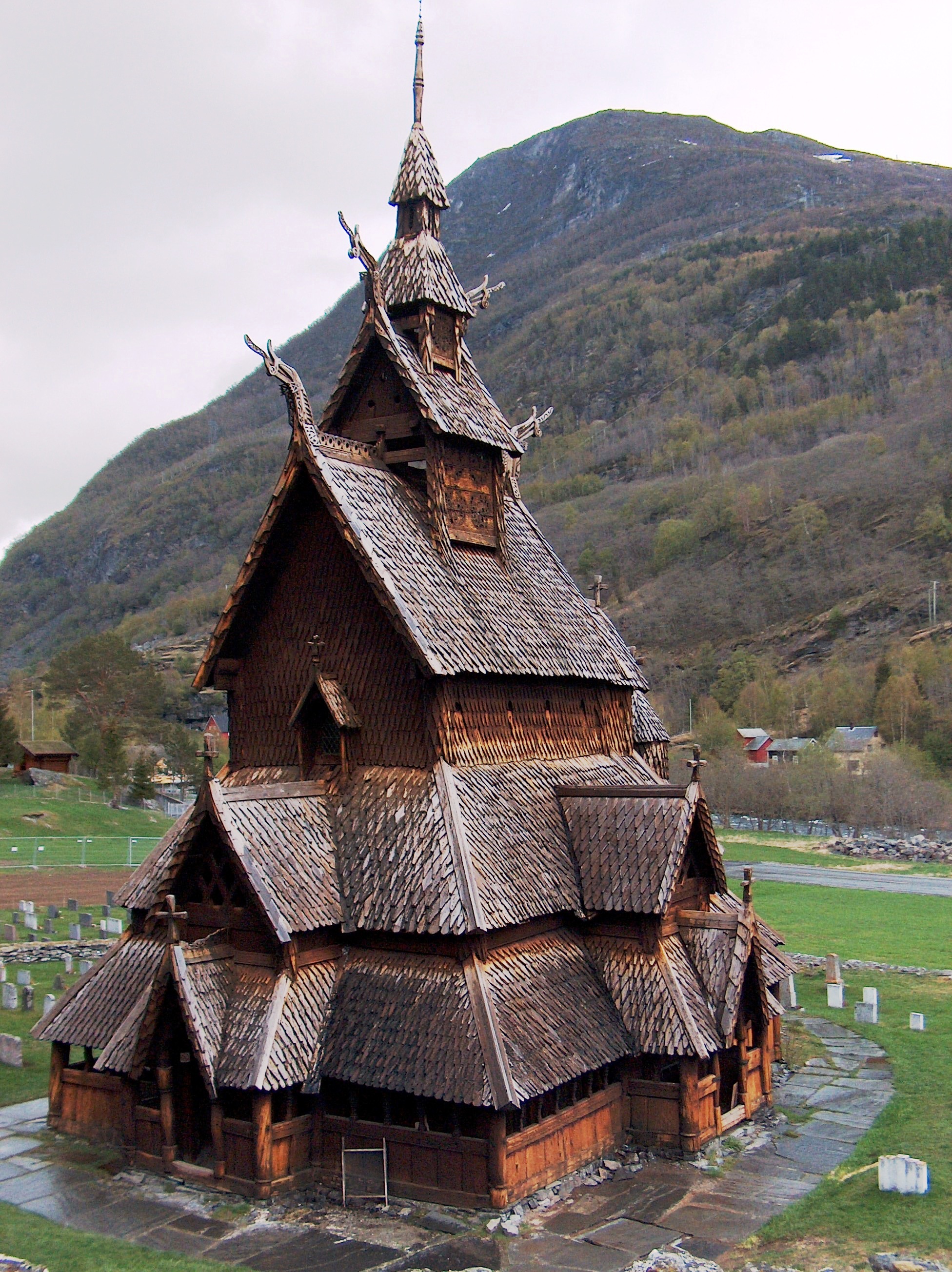
Bryggen
<p>Bryggen, the old wharf of Bergen, is a reminder of the town’s importance as part of the Hanseatic League’s trading empire from the 14th to the mid-16th…
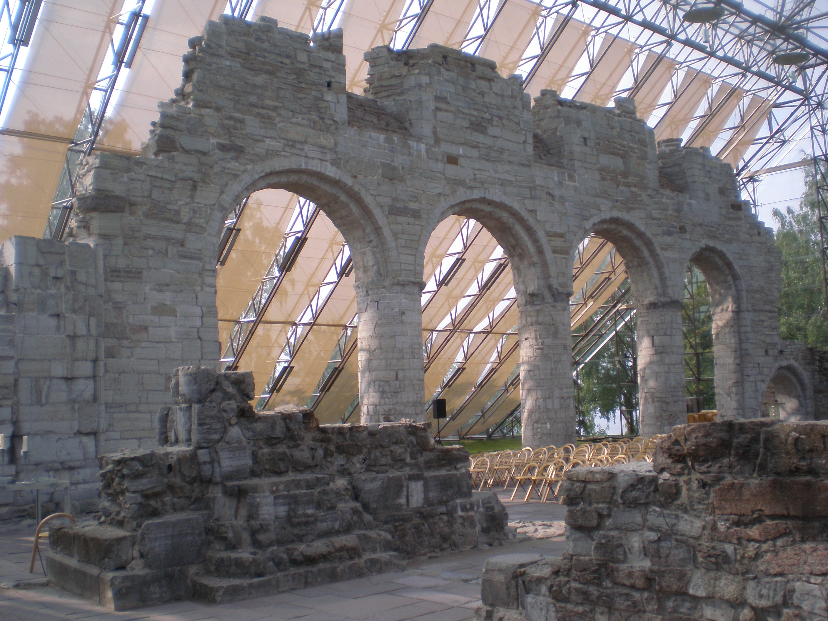
Cathedral Ruins in Hamar
Medieval Hamar Cathedral ruins in Norway
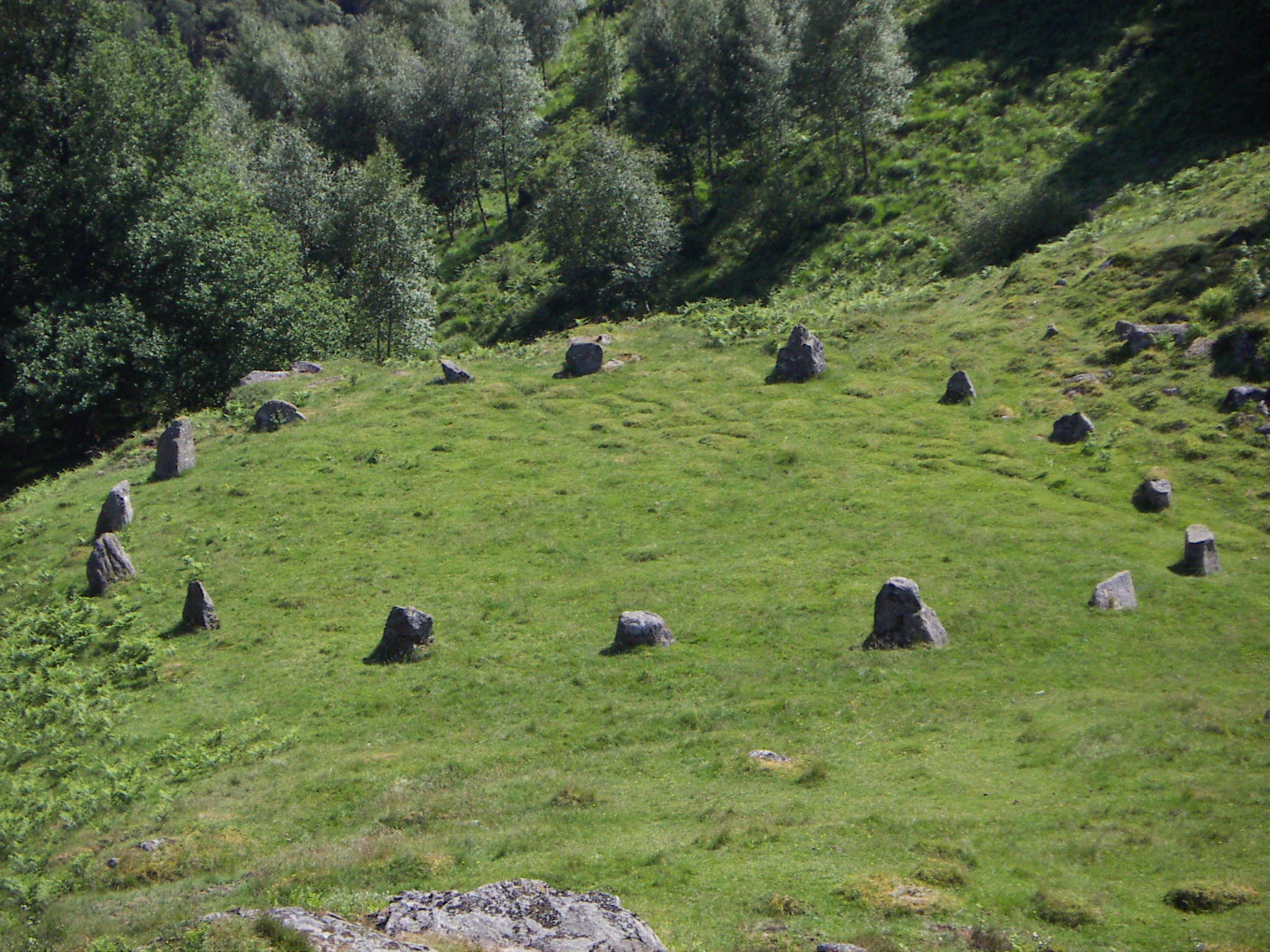
Stoplesteinan
Stone circle with 16 raised stones