Explore the Map
Qaryat al-Saih
23.0175° N, 58.0161° E
About
Qaryat al-Saiḥ is an archaeological site located in Wadi Maḥram, Central Oman, at an altitude of 712 meters. This fortified village, known for its Late Iron Age Samad occupation, is characterized by substantial defensive walls and irregularly shaped towers. The site covers approximately 4000 square meters and includes a variety of structural remains, such as a ruined Umm an-Nar tomb. Additionally, the area features a garden that likely supported the ancient inhabitants. Archaeological evidence suggests that the village was occupied during the Late Iron Age, and continued to be inhabited and modified throughout the Islamic Ages. The preservation of the site varies, with some walls reaching heights of up to 2 meters, showcasing typical Samad Late Iron Age defensive architecture. The site provides significant insights into the defensive strategies and living conditions of its ancient inhabitants.
Historical Timeline
Journey through time and discover key events in this site's history
Samad Late Iron Age Occupation
300 BCE to 500 CE
Islamic Ages Occupation
500 CE onwards
Archaeological Features
Unique architectural and cultural elements found at this historical site
Defensive Structures
Burial and Funerary Structures
Agricultural and Land Use Features
Domestic and Habitation Structures
Frequently Asked Questions
Plan Your Visit
Tours, travel arrangements, and practical information
More Sites in Oman

Al-Akhdhar, Oman
Cemetery with multi-period graves in Oman.
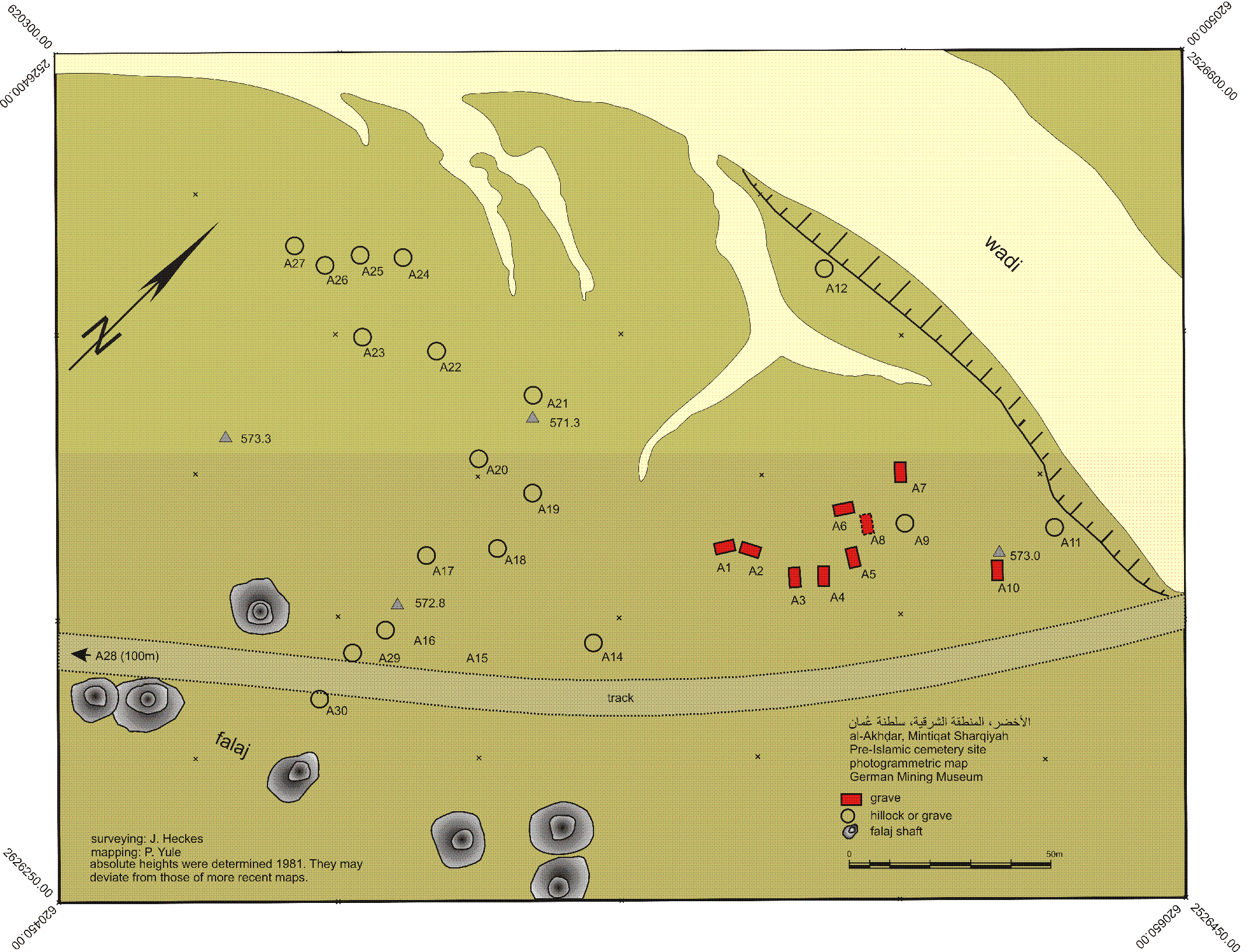
Al-Akhdhar
Cemetery with multiple period occupations
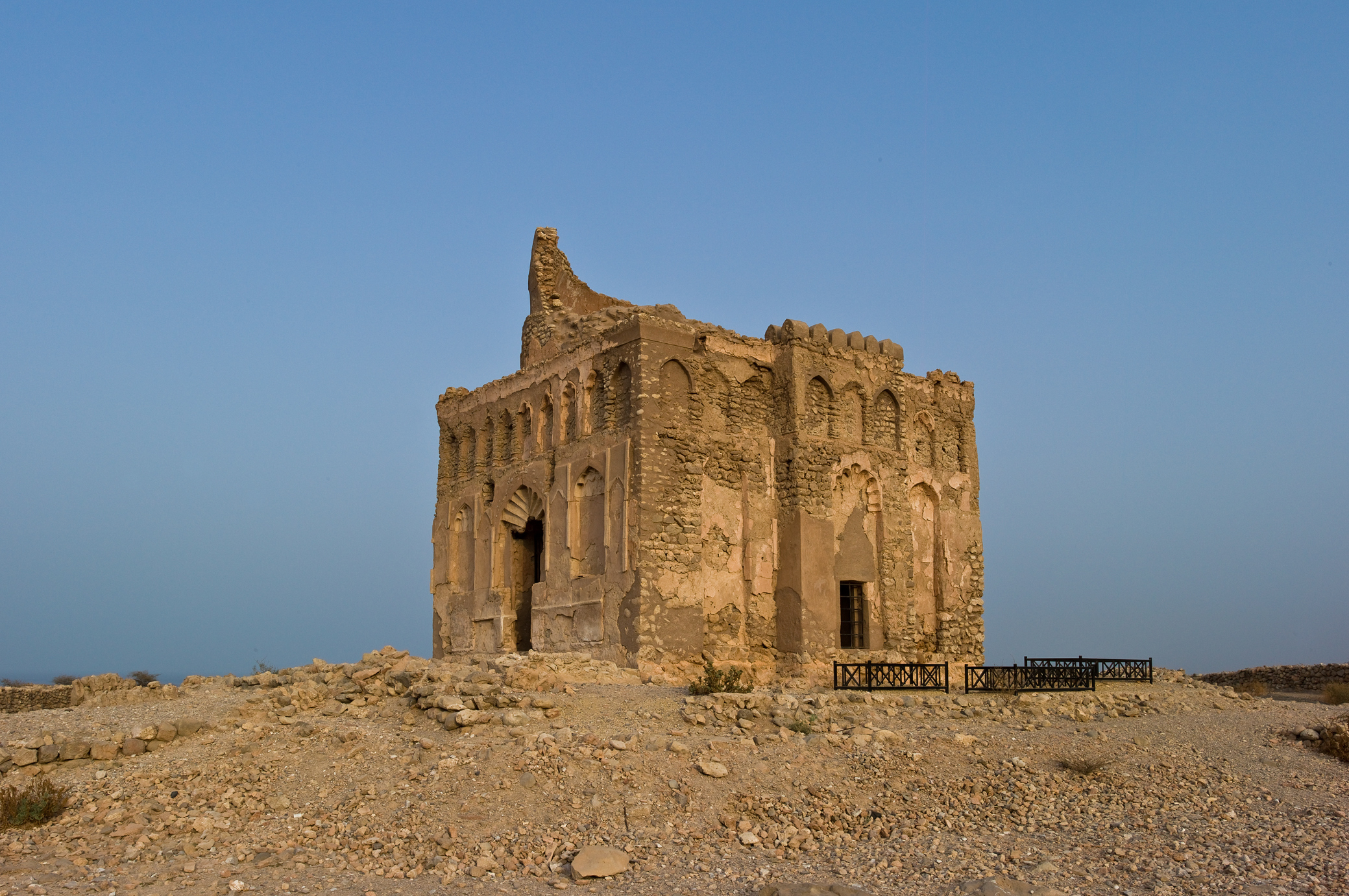
Qalhat
Ancient city with significant trade and Islamic influence.
Al-Amqat
Unrobbed Late Iron Age cemetery in Oman
ʿUqdat al-Bakrah
Early Iron Age metal-working site, northwestern Oman
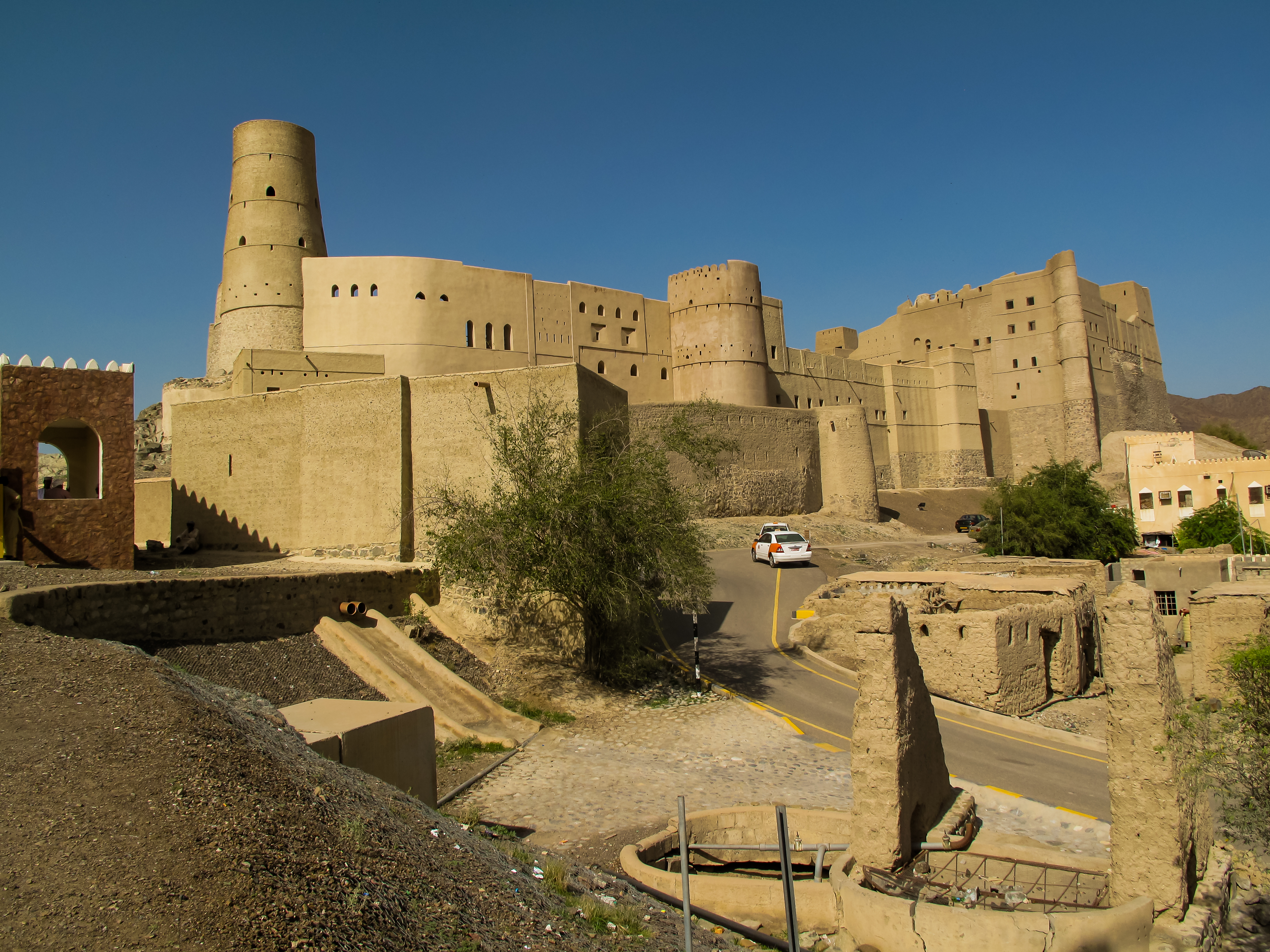
Bahla Fort
Historic mud-brick fort with ancient walls.