Explore the Map
Chavín de Huántar
-9.5928° N, -77.1783° E
About
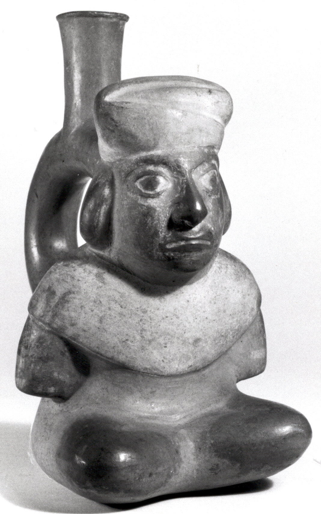
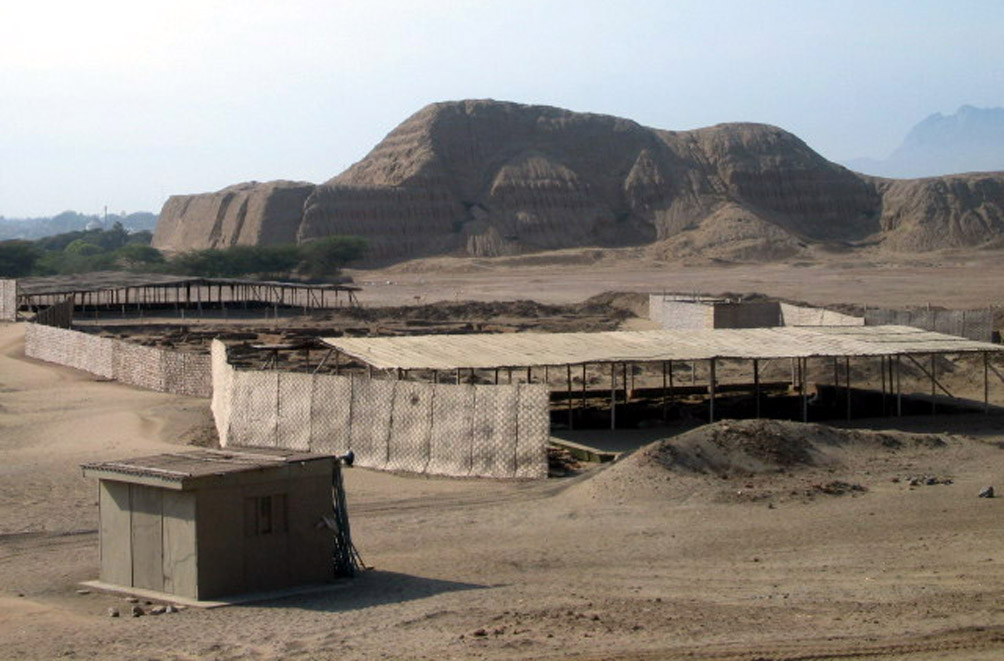
Chavín de Huántar is an archaeological site in Peru, containing ruins and artifacts constructed as early as 1200 BC, and occupied until around 400–500 BC by the Chavín, a major pre-Inca culture. The site is located in the Ancash Region, 434 kilometers (270 mi) north of Lima, at an elevation of 3,180 meters (10,430 ft), east of the Cordillera Blanca at the start of the Conchucos Valley. Chavín de Huántar has been designated as a UNESCO World Heritage Site. Some of the Chavín relics from this archaeological site are on display in the Museo de la Nación in Lima and the Museo Nacional de Chavín in Chavín itself. Occupation at Chavín de Huántar has been carbon-dated to at least 3000 BC, with ceremonial center activity occurring primarily toward the end of the second millennium, and through the middle of the first millennium BC. While the fairly large population was based on an agricultural economy, the city's location at the headwaters of the Marañón River, between the coast and the jungle, made it an ideal location for the dissemination and collection of both ideas and material goods. This archaeological site is a large ceremonial center that has revealed a great deal about the Chavín culture. Chavín de Huántar served as a gathering place for people of the region to come together and worship. The transformation of the center into a valley-dominating monument made it a pan-regional place of importance. People went to Chavín de Huántar as a center: to attend and participate in rituals, consult an oracle, or enter a cult. Findings at Chavín de Huántar indicate that social instability and upheaval began to occur between 500 and 300 BC, at the same time that the larger Chavín culture began to decline. Large ceremonial sites were abandoned, some unfinished, and were replaced by villages and agricultural land. At Chavín de Huántar, no later than 500 BC, a small village replaced the Circular Plaza. The plaza was occupied by a succession of cultural groups, and residents salvaged building stones and stone carvings to use in house walls. Multiple occupation floors indicate the village was continuously occupied through the 1940s.
Historical Timeline
Journey through time and discover key events in this site's history
Ceremonial decline
around 500 BC
Social upheaval period
500–300 BC
New Temple construction
500–200 BC
Major construction completion
by 750 BC
Initial construction phase
as early as 1200 BC
Village occupation continues
through the 1940s
Earliest dated occupation
c. 3000 BC
Archaeological Features
Unique architectural and cultural elements found at this historical site
Public and Civic Structures
Burial and Funerary Structures
Religious and Ritual Structures
Artistic and Decorative Features
Domestic and Habitation Structures
Frequently Asked Questions
Plan Your Visit
Tours, travel arrangements, and practical information
More Sites in Peru
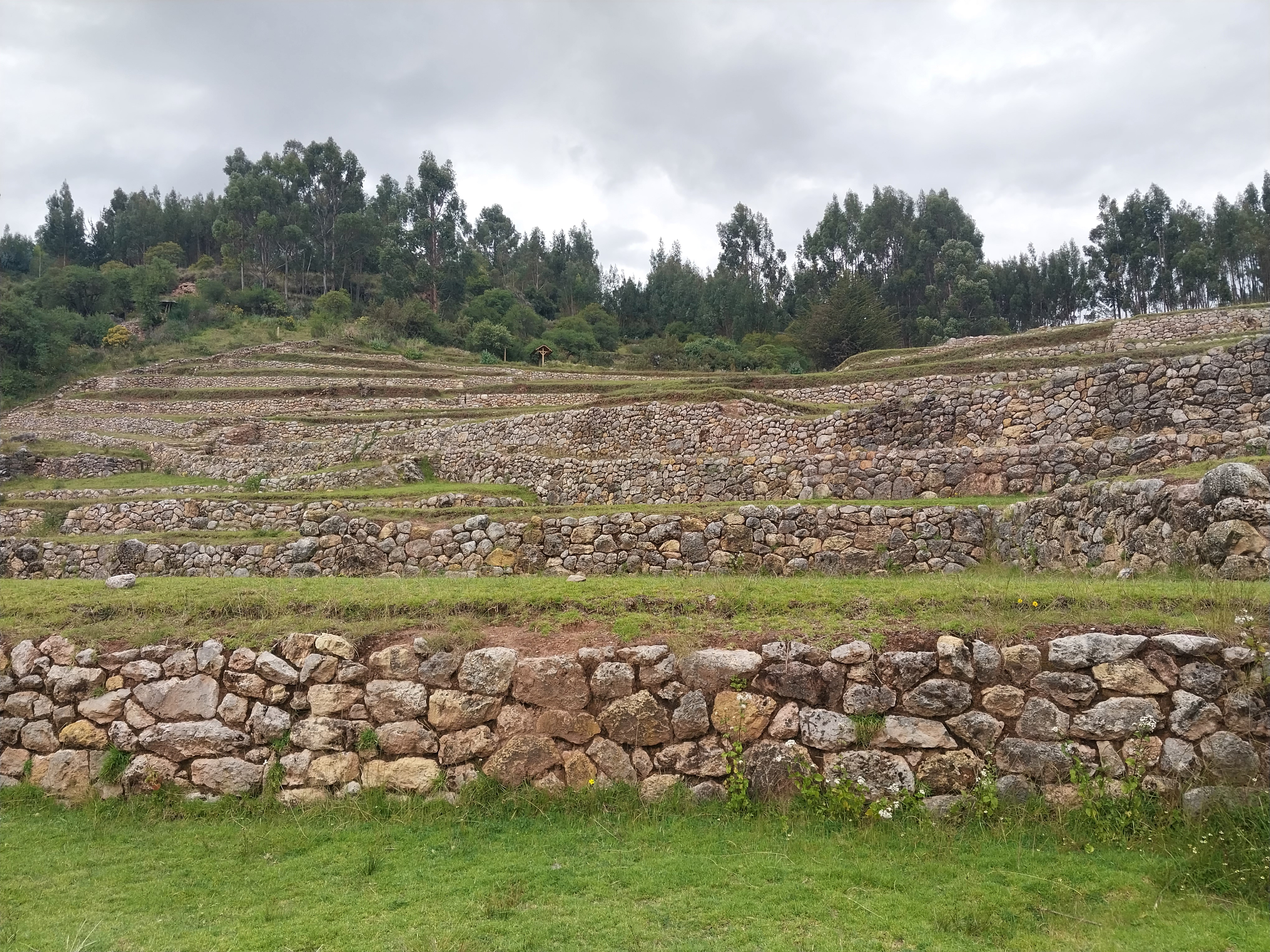
Inkilltambo
Ancient Peruvian site with cultivated terrain.
Tunanmarca
Hilltop archaeological site with ancient structures
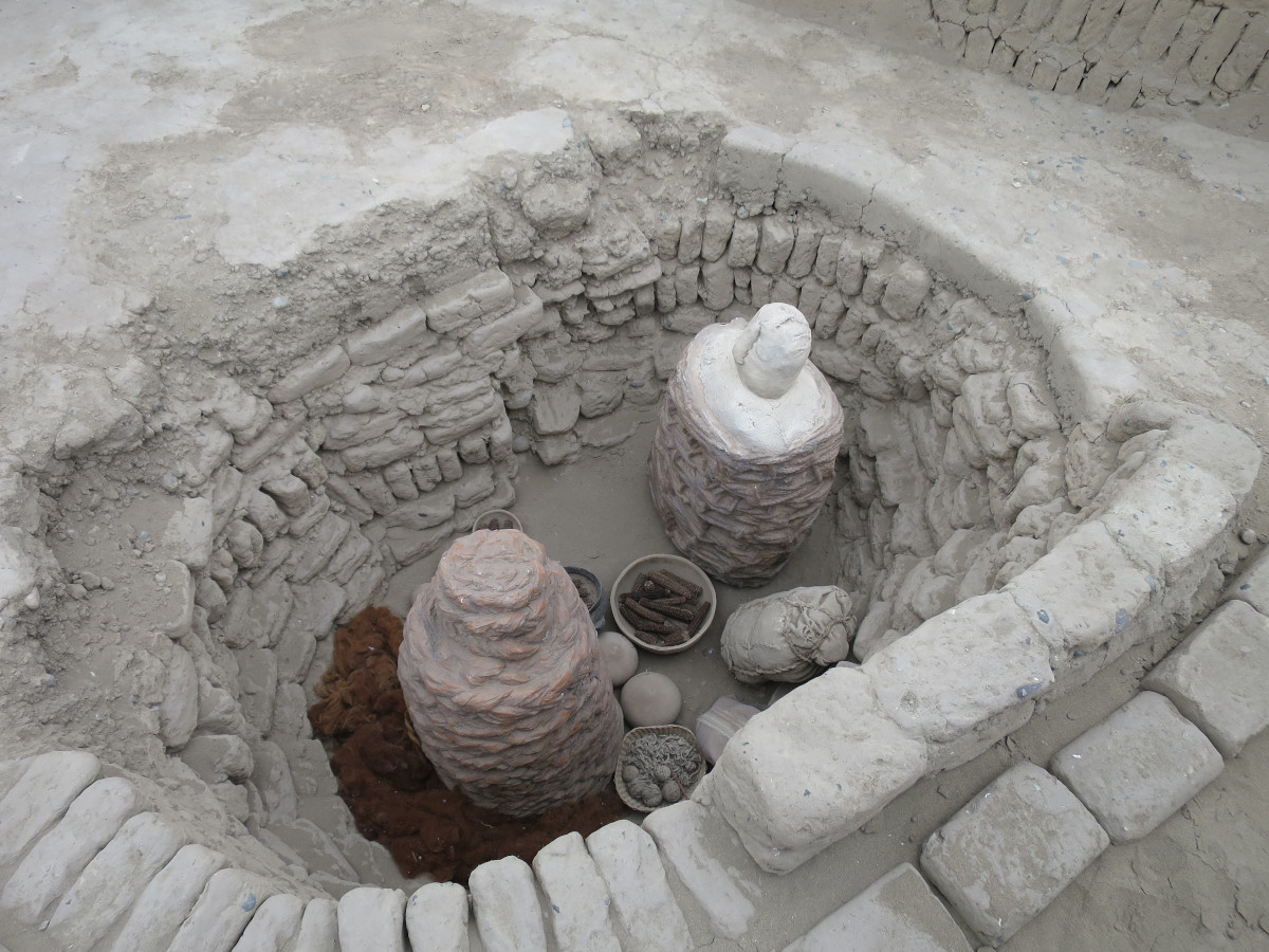
Huaca Pucllana
Adobe pyramid with ceremonial and administrative areas
La Centinela
Adobe pyramids in Chincha Valley, Peru.
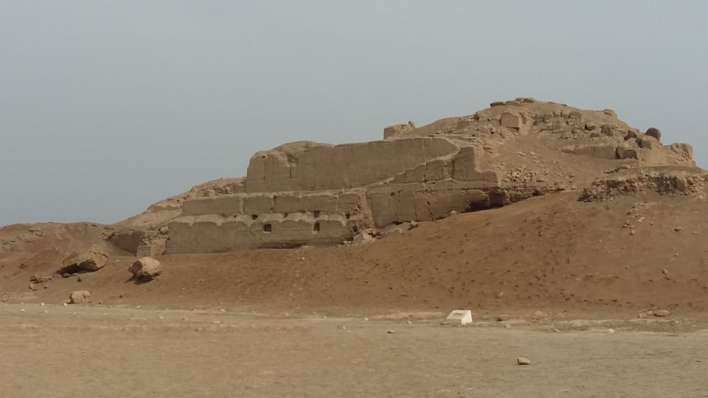
Huaca del Sol
Largest pre-Columbian adobe pyramid in Peru

Taqrachullu
Rocky confluence site with cultural heritage.