Explore the Map
El Paraíso, Peru
-11.9539° N, -77.1183° E
About
El Paraíso (Spanish pronunciation: [el paɾaˈiso], "The Paradise") or Chuquitanta (Quechua chuqui lance or metal, tanta bread) are the moderns names of a Late Preceramic (3500–1800 BC) archaeological site located in the Chillón Valley on the central coast of Peru. The site is situated several kilometers north of Lima, the capital of Peru, in the San Martin de Porres District in the Province of Lima. El Paraíso is one of the largest settlements from this period, encompassing over 58 hectares of land. Other major centers from this period include Aspero and Caral on the northern coast in the Supé Valley. Sizable centers can be found in different ecozones, from the coast to inland areas. Stanish concluded that this was a time when settlements were broadly distributed, located at various distances from the coast allowing access to a variety of marine and agricultural resources.
Historical Timeline
Journey through time and discover key events in this site's history
Quilter multi-disciplinary project
early–mid 1980s
Engel excavations and partial rebuilding
early–mid 1960s
First survey
1950s
Late Preceramic timeframe
3500–1800 BC
Occupation period
c. 3790–3065 cal BP
Archaeological Features
Unique architectural and cultural elements found at this historical site
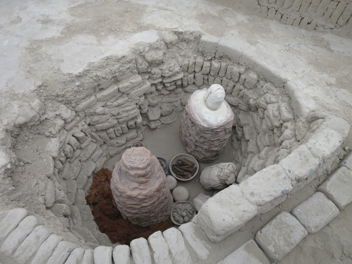
Storage Structures
Public and Civic Structures
Burial and Funerary Structures
Religious and Ritual Structures
Domestic and Habitation Structures
Frequently Asked Questions
Plan Your Visit
Tours, travel arrangements, and practical information
More Sites in Peru
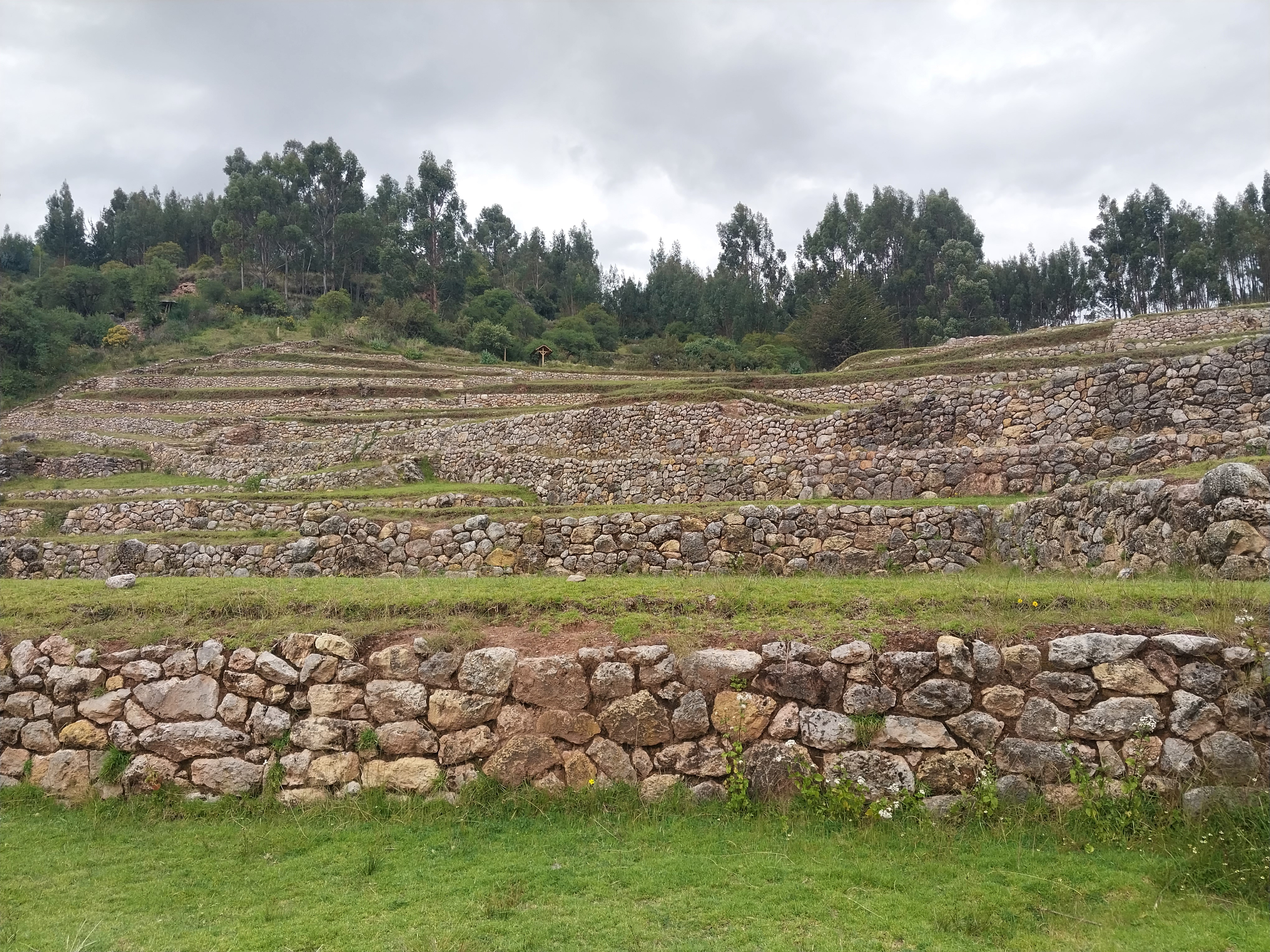
Inkilltambo
Ancient Peruvian site with cultivated terrain.
Tinyaq
Inca period storehouses on a mountain
La Centinela
Adobe pyramids in Chincha Valley, Peru.

Tunanmarca
Hilltop archaeological site with ancient structures
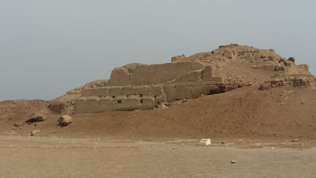
Huaca del Sol
Largest pre-Columbian adobe pyramid in Peru
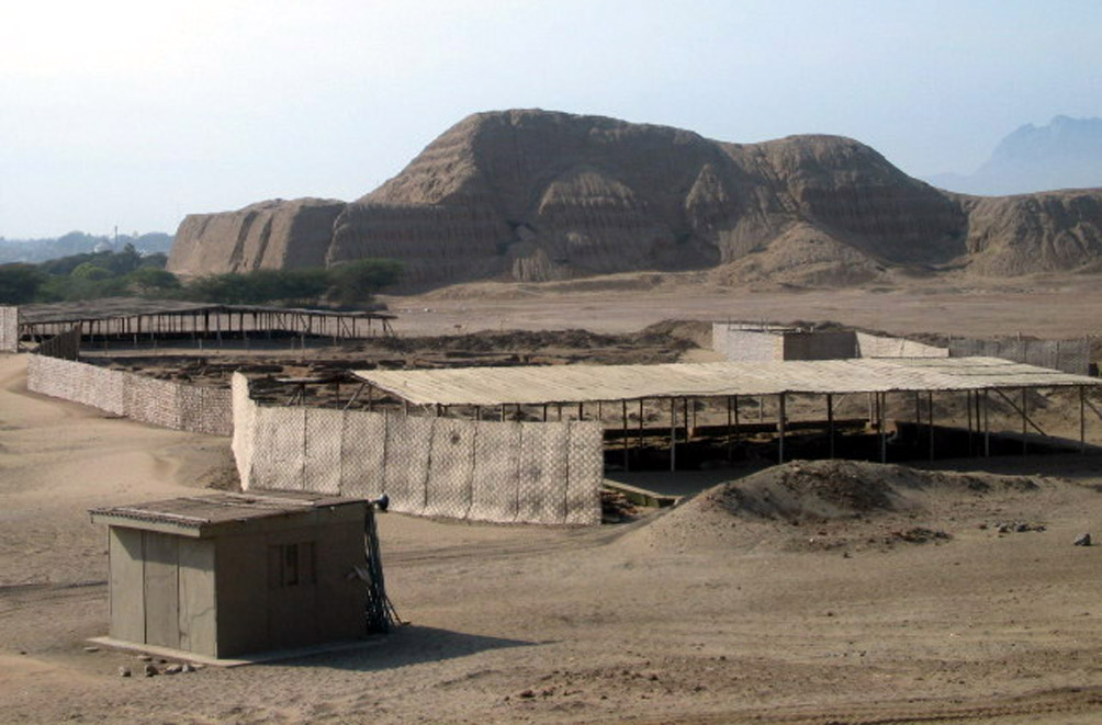
Huaca Pucllana
Adobe pyramid with ceremonial and administrative areas