Explore the Map
Kaup (emporium)
54.9316° N, 20.4735° E
About
Kaup, located on the Curonian Lagoon's shore in modern Kaliningrad Oblast, Russia, is an early medieval Norse burial site with significant archaeological importance. The site, identified as a potential starting point of the Amber Road, served as a major trading post and settlement for Old Prussians and later Swedish merchants from the 9th century CE. Excavations revealed a large cemetery with up to 500 tumuli, highlighting prominent Swedish connections through the grave goods. Kaup thrived as a market town and a strategic trading hub before suffering destruction in the 10th and 11th centuries due to raids by Danish forces, including those led by Haakon and Cnut the Great. The site remained significant until the Northern Crusades of the 13th century when Prussian occupation ended.
Historical Timeline
Journey through time and discover key events in this site's history
Kaup as Swedish colony
9th century CE
Old Prussian settlement
9th century CE
Raid by Haakon
10th century CE
Abandonment after Norse raids
11th century CE
Destruction by Cnut the Great
1016 CE
Continued Prussian occupation
13th century CE
Archaeological Features
Unique architectural and cultural elements found at this historical site
Burial and Funerary Structures
Transportation and Communication Structures
Plan Your Visit
Tours, travel arrangements, and practical information
More Sites in Russia
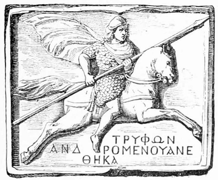
Tanais
Ancient Greek city in Don River delta
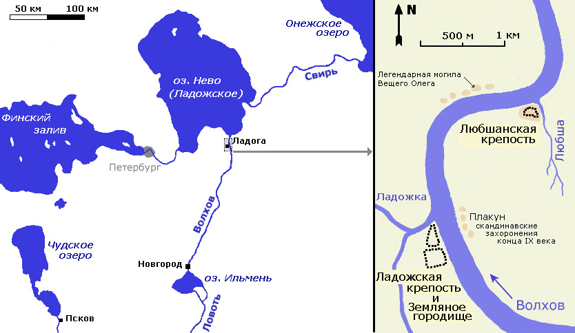
Lyubsha
Early Slavic fortification predating Staraya Ladoga.
Sarkel
Khazar limestone-and-brick fortress on Don River
Peremyshl, Muscovy
Medieval fortress and village site
Timerevo
Unfortified Scandinavian trade outpost near Volga.
Veliky Novgorod
Historic city with medieval structures and artifacts.