
Explore the Map
Sarkel
47.7050° N, 42.2731° E
About
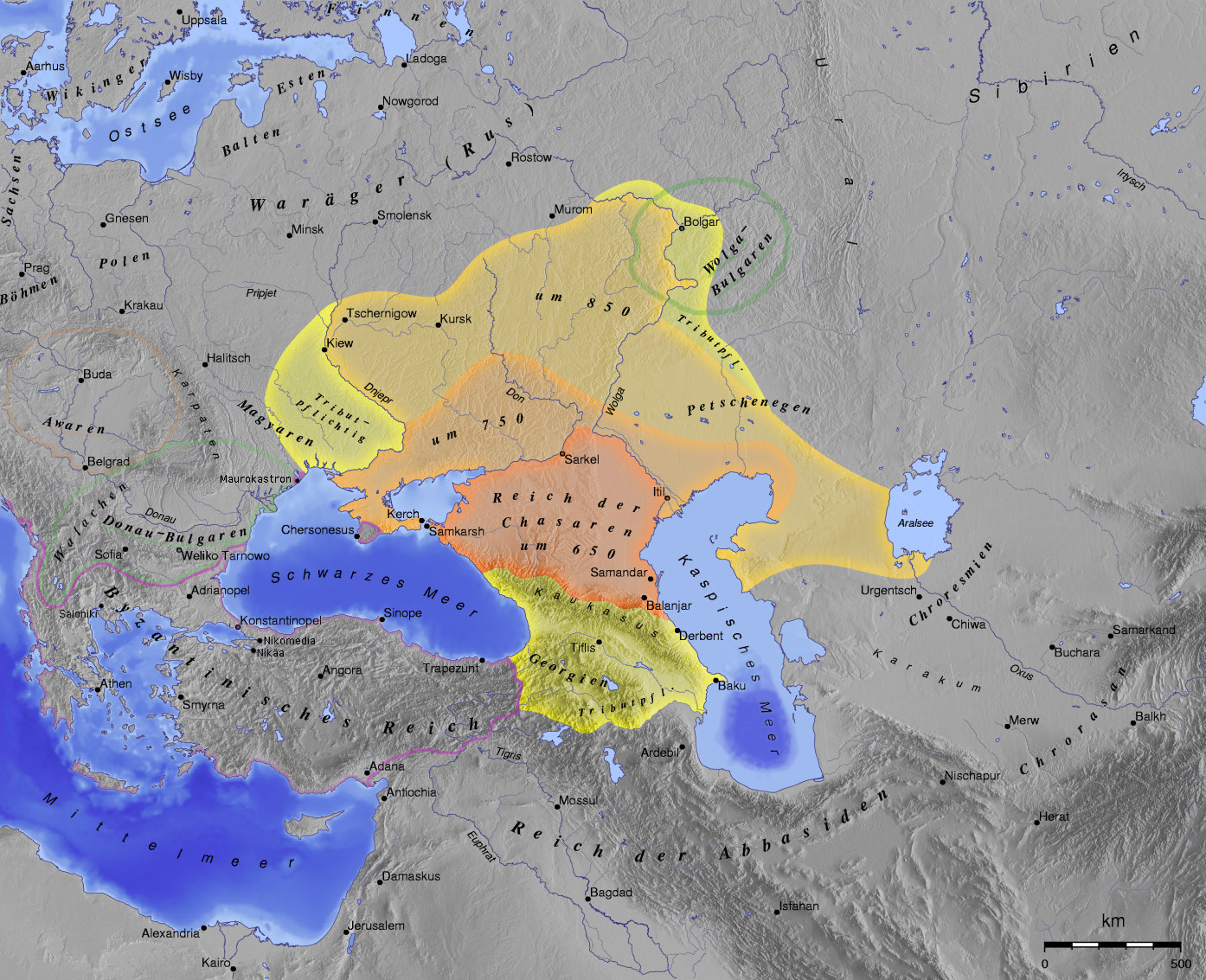
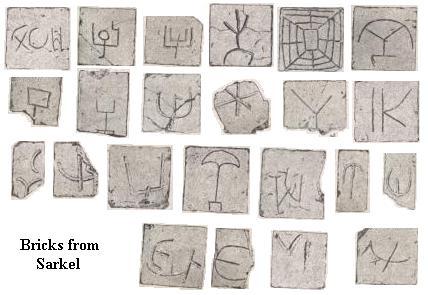
Sarkel was a significant Khazar fortress constructed in the 9th century CE on the left bank of the Don River, with strategic assistance from Byzantine engineers. The fortress, built using white limestone bricks, functioned as a crucial defensive structure protecting the north-western border of the Khazar state. Notably, it served as a bustling commercial hub, overseeing the Volga-Don portage, a key trade route known as the Khazarian Way. In 965 CE, Sarkel was captured by the Kievan Rus' and renamed Belaya Vezha, marking a shift in its cultural and political landscape. The site, now submerged under the Tsimlyansk Reservoir, was pivotal in the regional dynamics of the Early and Late Post-Classical Periods.
Gallery
Explore photographs of ancient structures, artifacts, and archaeological excavations
Historical Timeline
Journey through time and discover key events in this site's history
Construction of Sarkel fortress
833 CE
Renaming to Belaya Vezha
10th century CE
Capture by Kievan Rus'
965 CE
Archaeological Features
Unique architectural and cultural elements found at this historical site
Defensive Structures
Water Management Features
Transportation and Communication Structures
Frequently Asked Questions
Plan Your Visit
Tours, travel arrangements, and practical information
More Sites in Russia
Timerevo
Unfortified Scandinavian trade outpost near Volga.
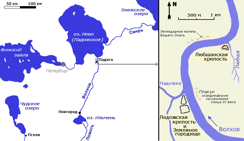
Lyubsha
Early Slavic fortification predating Staraya Ladoga.
Por-Bazhyn
Ruined Uyghur palace on mountain lake island
Tanais
Ancient Greek city in Don River delta
Mayatskoye
Khazar hill fort with burial ground
Peremyshl, Muscovy
Medieval fortress and village site