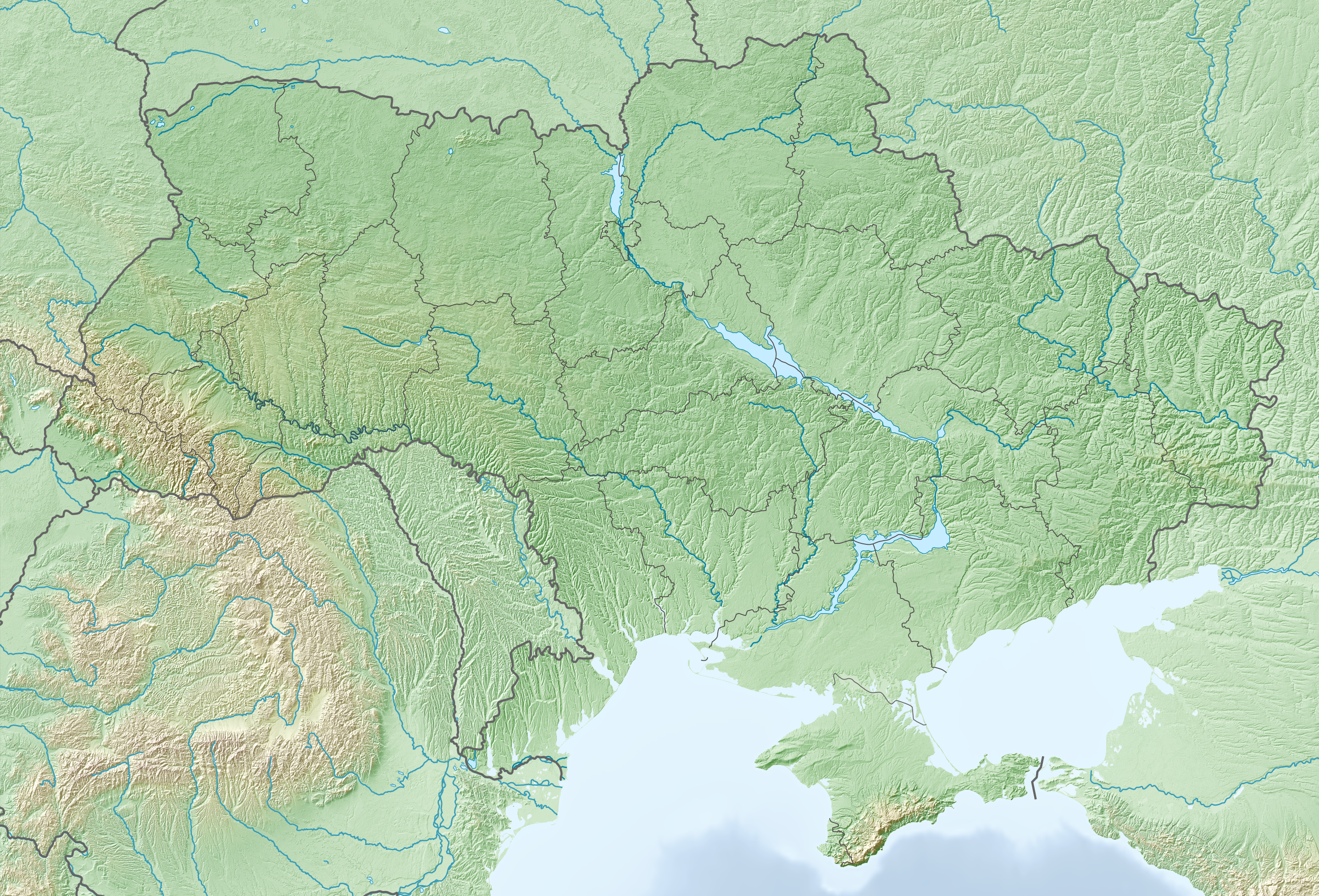
Explore the Map
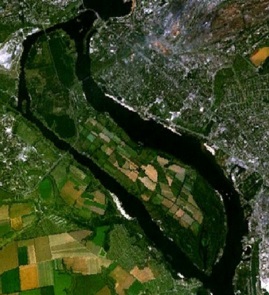
Khortytsia
47.8200° N, 35.1000° E
About
Khortytsia is the largest island on the Dnieper River, located within Zaporizhzhia, Ukraine. This island holds significant archaeological and historical value, having been continuously inhabited for the last five millennia. It features remains from the Proto-Indo-European and Scythian periods. In the Early Middle Ages, it was a key center on the trade route from the Varangians to the Greeks. The island was also a focal point for the Zaporozhian Cossacks, with the first Khortytsia Sich established in the 16th century. Over time, it witnessed various historical events like the Bohdan Khmelnytsky Uprising and the eventual destruction of the Sich by Russian forces. In the late 18th century, Mennonites settled on the island, contributing to its agricultural development. Today, Khortytsia is part of a national reserve, preserving its rich cultural heritage.
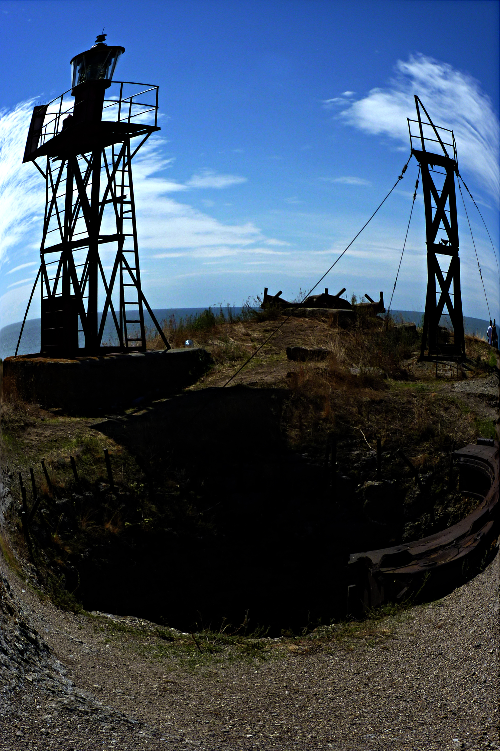
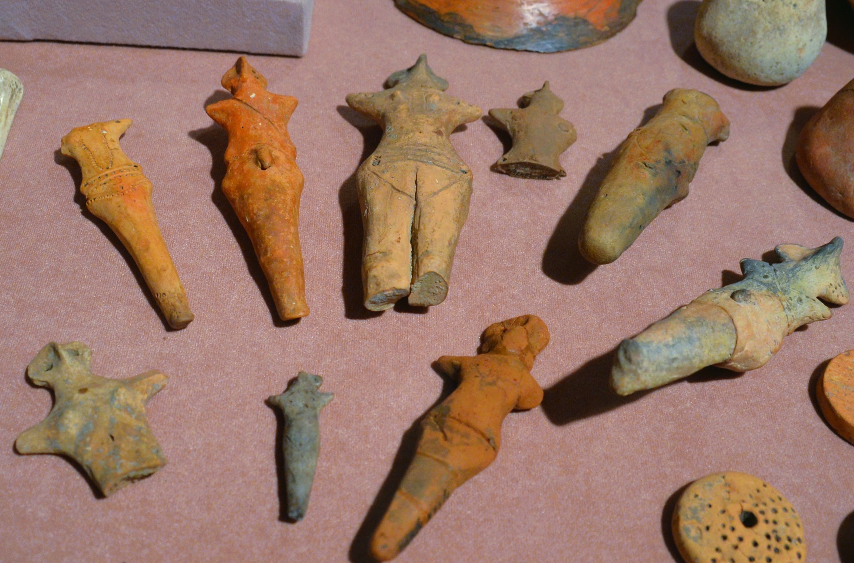
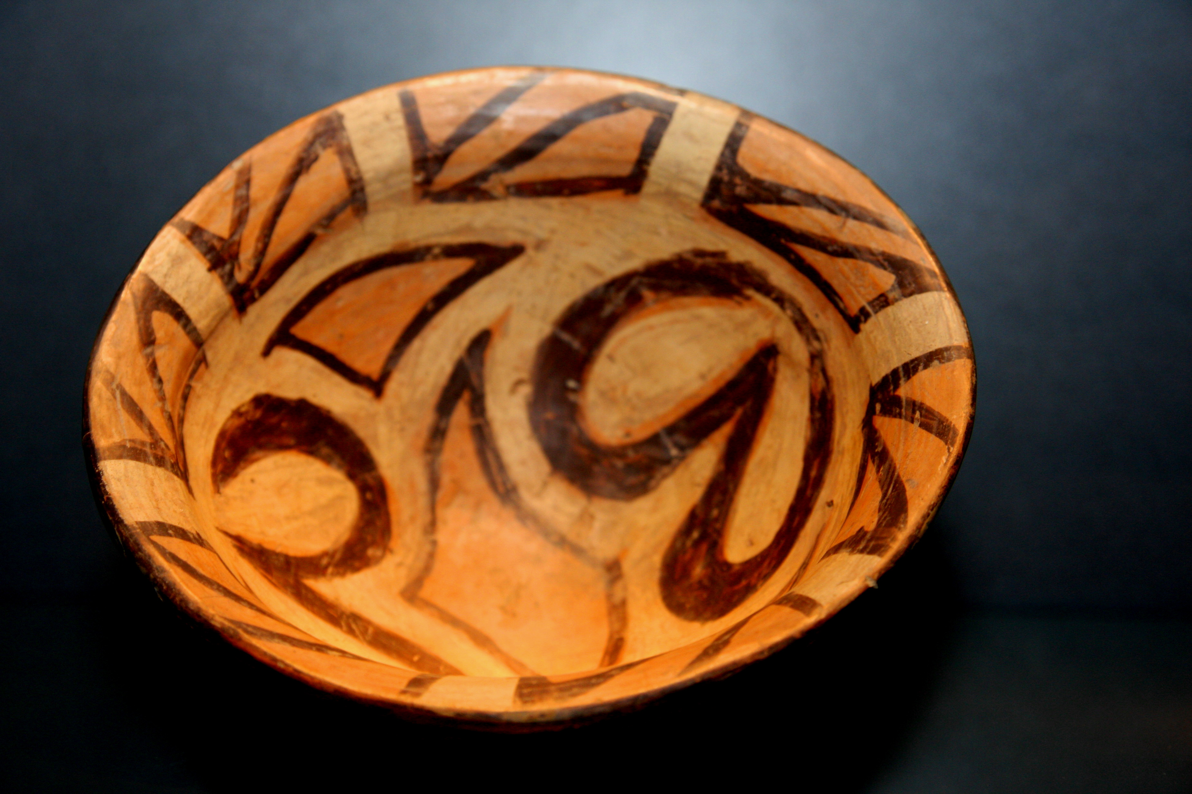
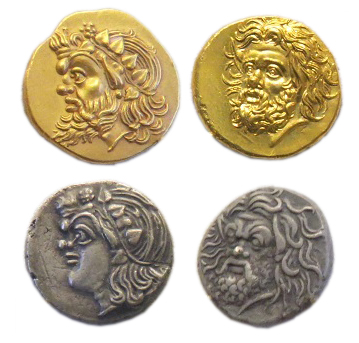
Gallery
Explore photographs of ancient structures, artifacts, and archaeological excavations

Historical Timeline
Journey through time and discover key events in this site's history
Continuous Inhabitation
3rd millennium BCE onward
Proto-Indo-European Period
3rd millennium BCE onward
Scythian Period
8th century BCE to 3rd century BCE
Trade Route Center
Early Middle Ages
Kievan Rus' Event
972 CE
First Khortytsia Sich
1552 CE to 1558 CE
Bohdan Khmelnytsky Uprising
1648 CE
Sich Destruction
1775 CE
Mennonite Settlement
1789 CE
Archaeological Features
Unique architectural and cultural elements found at this historical site
Defensive Structures
Military Installations
Miscellaneous Features
Public and Civic Structures
Burial and Funerary Structures
Industrial and Craft Structures
Religious and Ritual Structures
Agricultural and Land Use Features
Environmental and Natural Features
Food Production and Processing Features
Transportation and Communication Structures
Plan Your Visit
Tours, travel arrangements, and practical information
More Sites in Ukraine
Berezan Island
Uninhabited island with ancient Greek colony remains
Verteba Cave
Gypsum cave with Copper Age artifacts
Burial ground of Cherneliv-Ruskyi
Extensive Chernyakhov culture burial ground
Talianki (archaeological site)
Largest Neolithic settlement in Europe

Stepanivka
Cucuteni-Trypillian large Neolithic settlement, 5000–4300 B.C.
Pantikapaion
Ancient Greek city with notable ruins.