Explore the Map
Myriv
48.9483° N, 28.8908° E
About
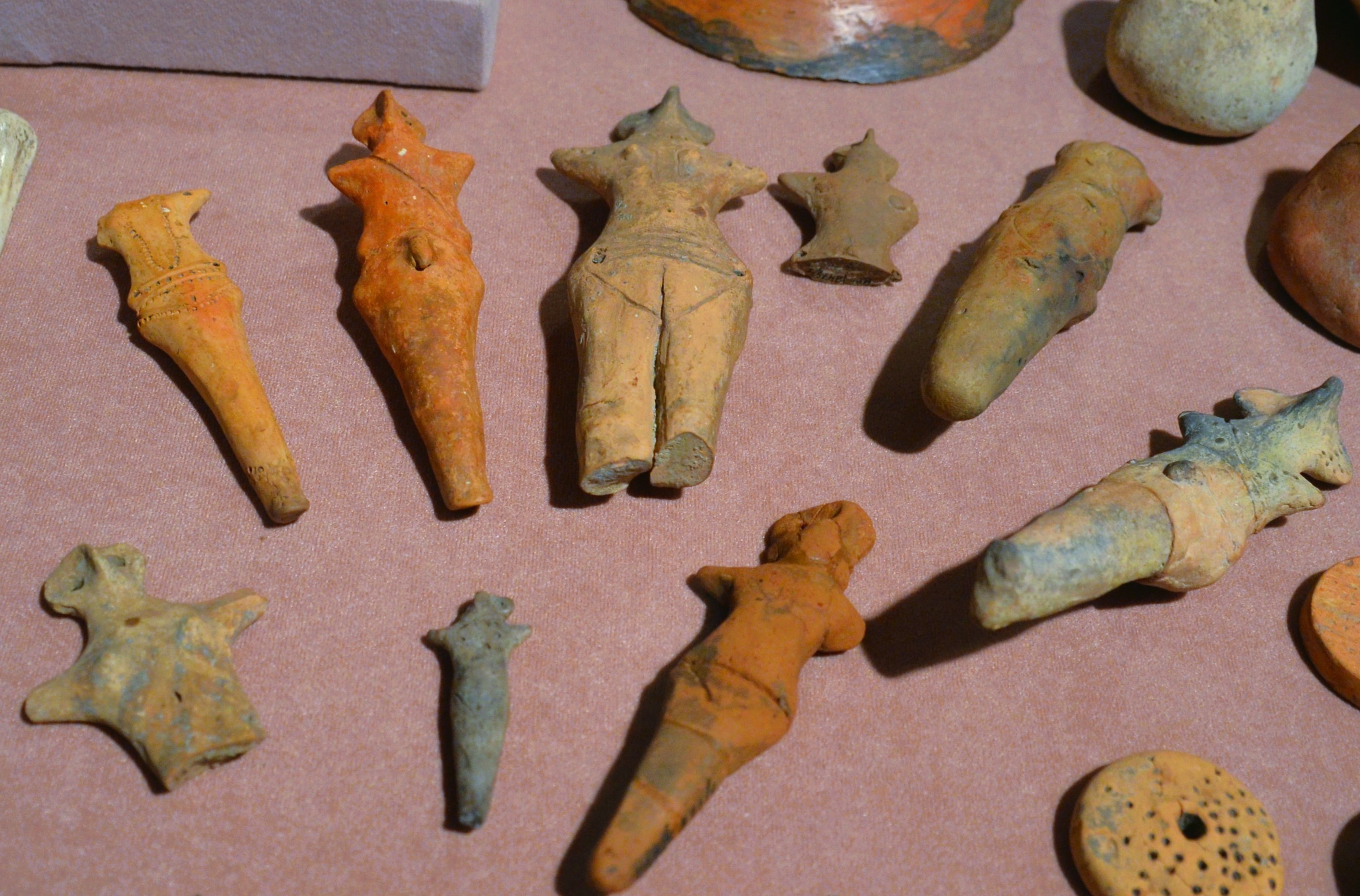
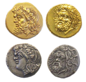
Myriv, a significant archaeological site, was a major Scythian settlement located between the Dniester and Dnieper rivers in Ukraine. Founded between 800-750 BCE during the Early Iron Age, it stands as the largest Scythian site in Ukraine, covering over 100 hectares. The settlement was fortified with a moat and a substantial rampart, indicative of its importance and need for defense. Archaeological studies connect Myriv to the Chernoles culture. Following its Scythian phase, Myriv became a Ruthenian settlement within Kyivan Rus from the 10th to the 13th centuries CE. The city was destroyed in the Mongol invasion of the 13th century but was later rebuilt in a different location, known today as Nemyriv.
Historical Timeline
Journey through time and discover key events in this site's history
Founding of Myriv
800-750 BCE
Ruthenian Settlement Period
900-1250 CE
Mongol Invasion Destruction
1250s CE
Archaeological Features
Unique architectural and cultural elements found at this historical site
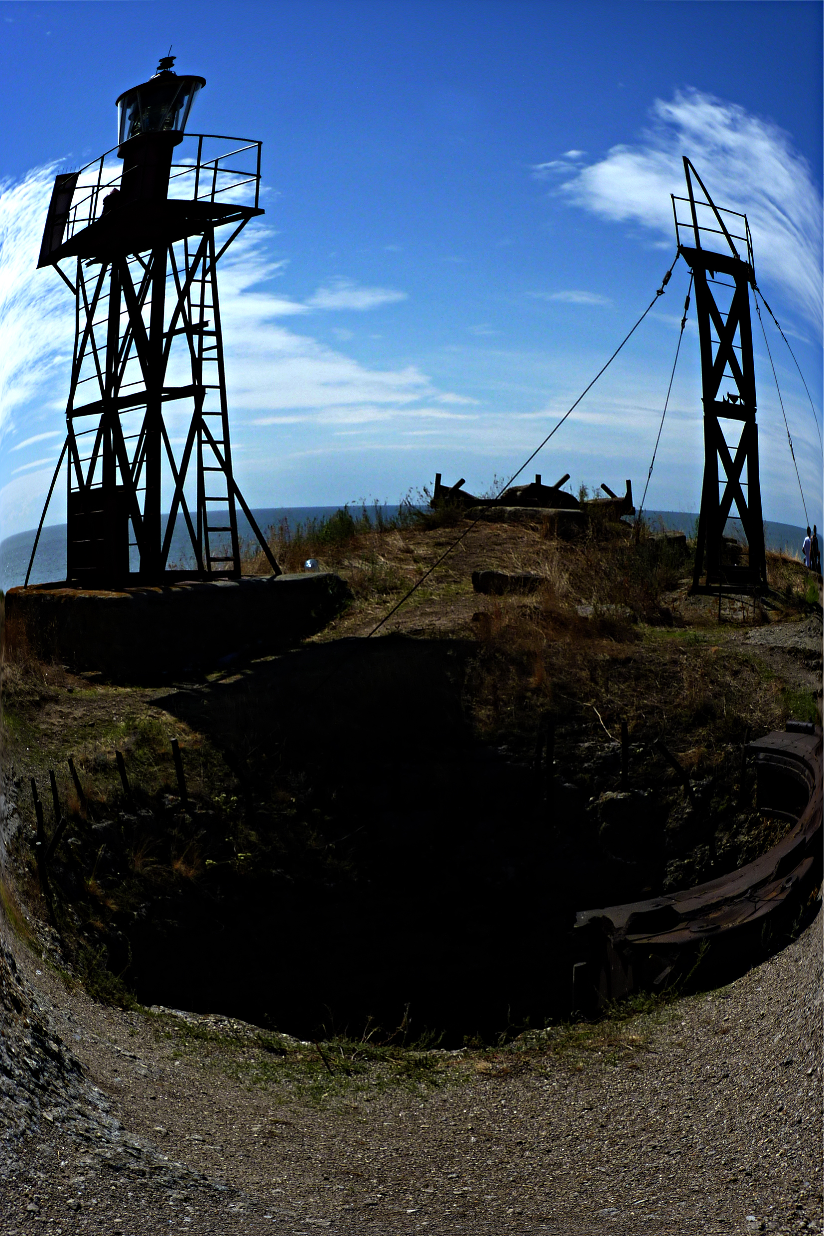
Defensive Structures
Domestic and Habitation Structures
Plan Your Visit
Tours, travel arrangements, and practical information
More Sites in Ukraine
Burial ground of Cherneliv-Ruskyi
Extensive Chernyakhov culture burial ground
Berezan Island
Uninhabited island with ancient Greek colony remains
Verteba Cave
Gypsum cave with Copper Age artifacts
Pantikapaion
Ancient Greek city with notable ruins.
Melgunov Kurgan
Ancient Scythian burial mound with golden artifacts.
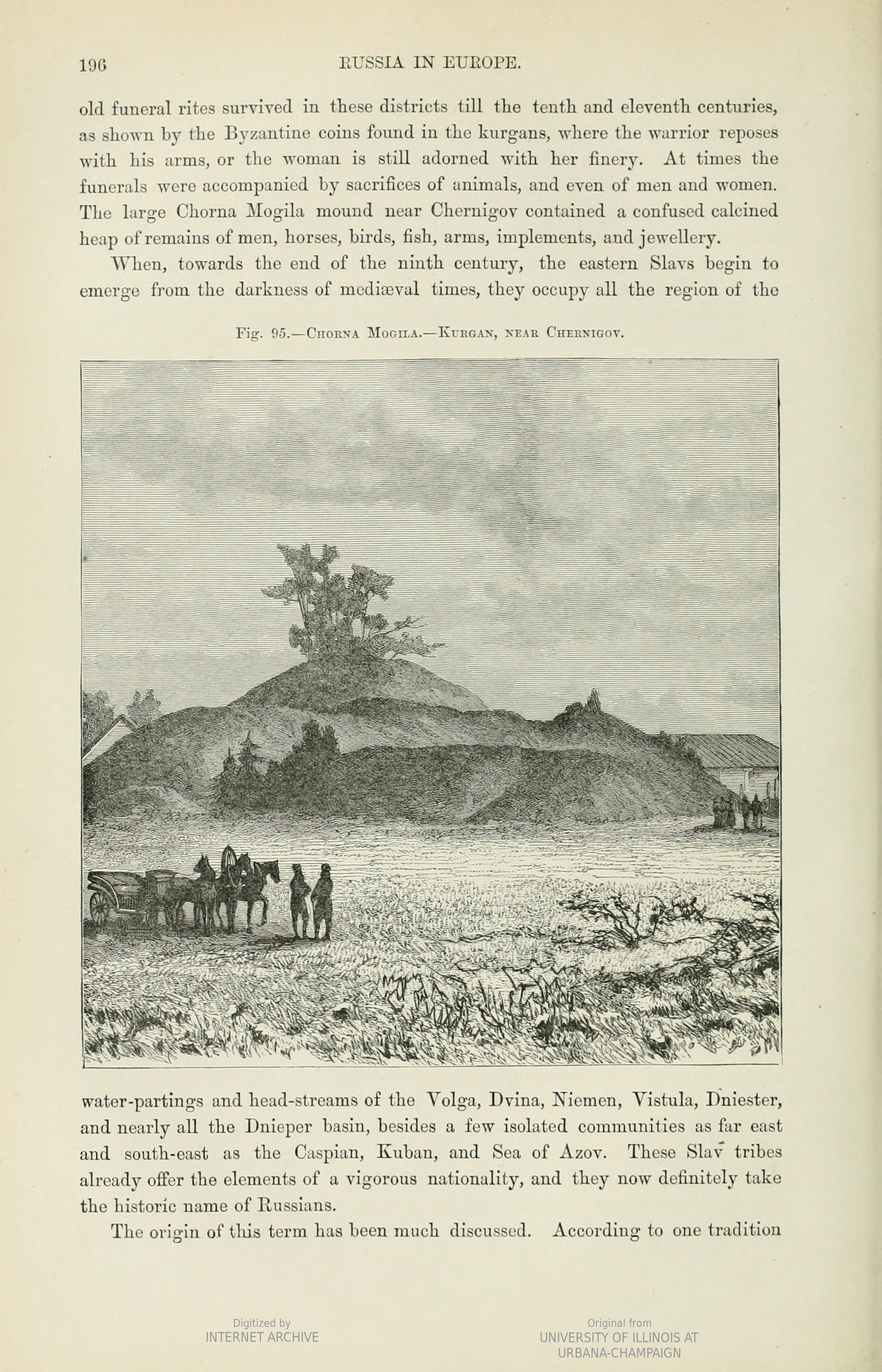
Black Grave
Largest burial mound in Chernihiv