Explore the Map
Surkh Kotal
36.0361° N, 68.5891° E
About
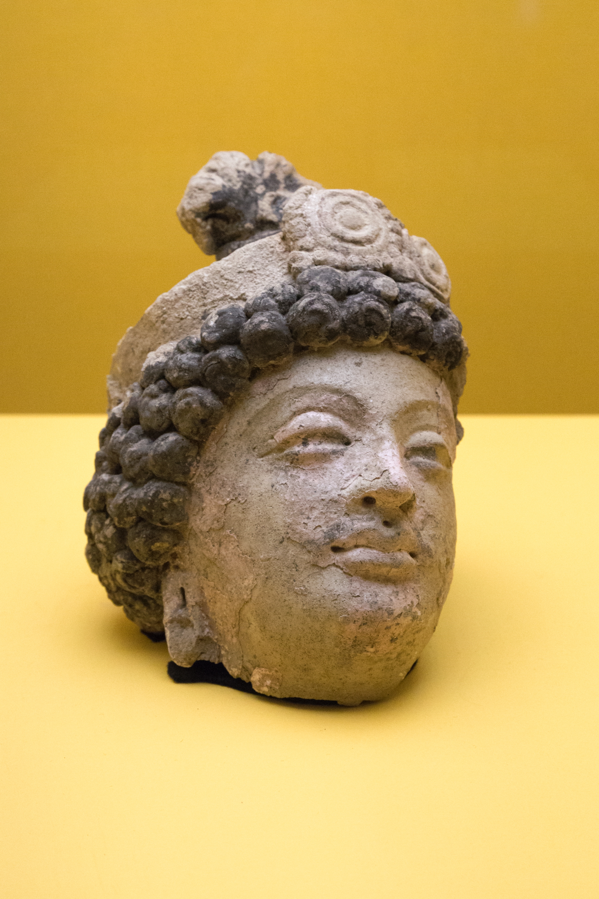
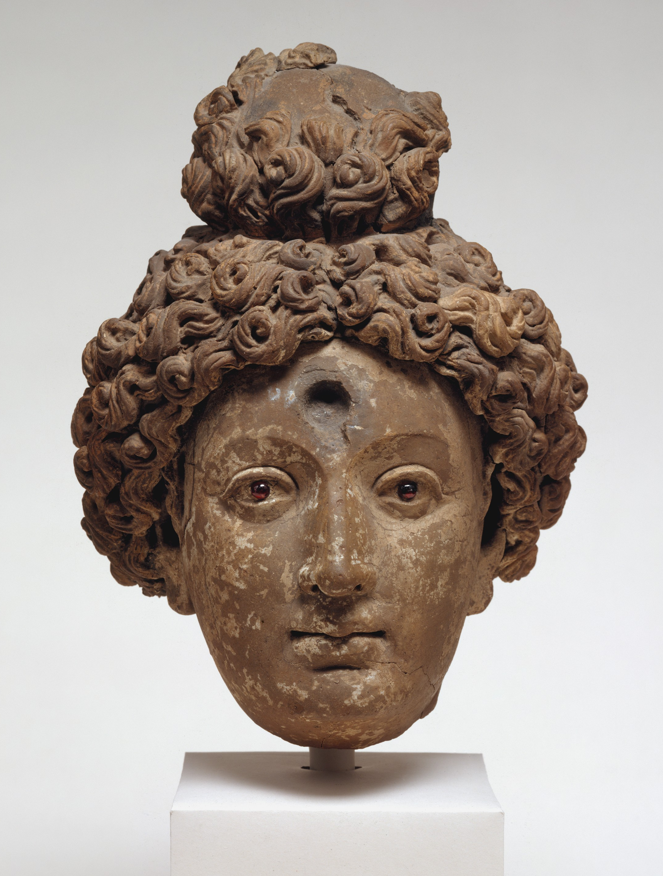
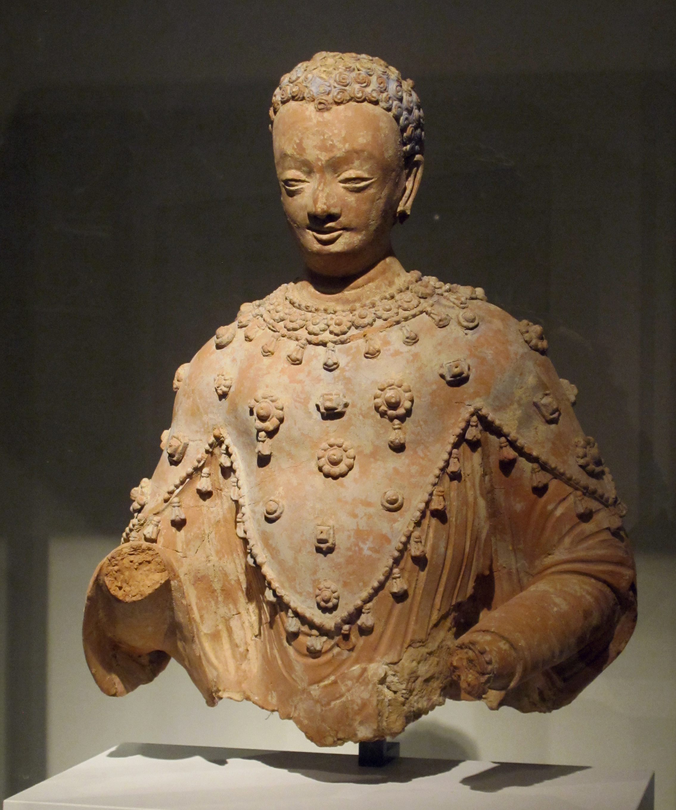
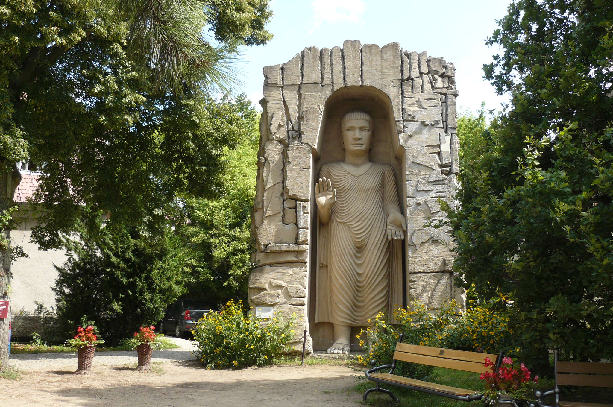
Surkh Kotal (Persian: چشمه شیر Chashma-i Shir; also called Sar-i Chashma, is an ancient archaeological site located in the southern part of the region of Bactria, about 18 kilometres (11 mi) north of the city of Puli Khumri, the capital of Baghlan Province of Afghanistan. It is the location of monumental constructions made during the rule of the Kushans. Huge temples, statues of Kushan rulers and the Surkh Kotal inscription, which revealed part of the chronology of early Kushan emperors (also called Great Gara) were all found there. The Rabatak inscription which gives remarkable clues on the genealogy of the Kushan dynasty was also found in the Robatak village just outside the site. The site of Surkh Kotal, excavated between 1952 and 1966 by Prof. Schlumberger of the Délégation Archéologique Française en Afghanistan, is the main site excavated of the Kushan Empire. Some of the site's sculptures were transferred to the National Museum of Afghanistan (also known as the 'Kabul Museum'), the rest of the site was completely looted during the Afghan Civil War. The most famous artifacts of this site are the Surkh Kotal inscriptions, the statue of King Kanishka and the fire altar. The statue of the king was destroyed during the Taliban wave of iconoclasm in February–March 2001, but has been restored by French conservationists. The three artifacts are currently on display in the Afghan National Museum.
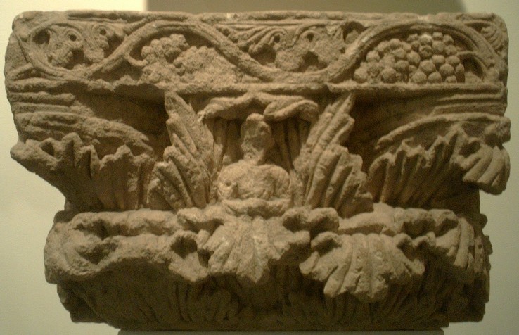
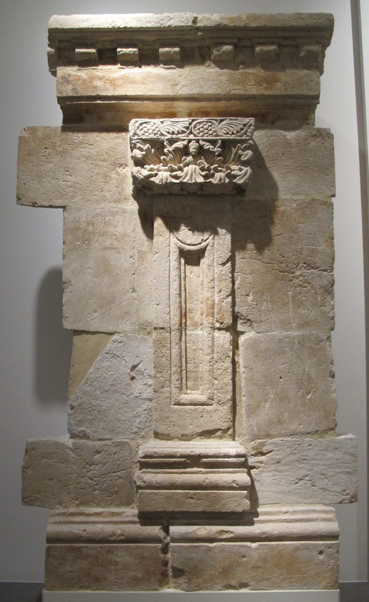
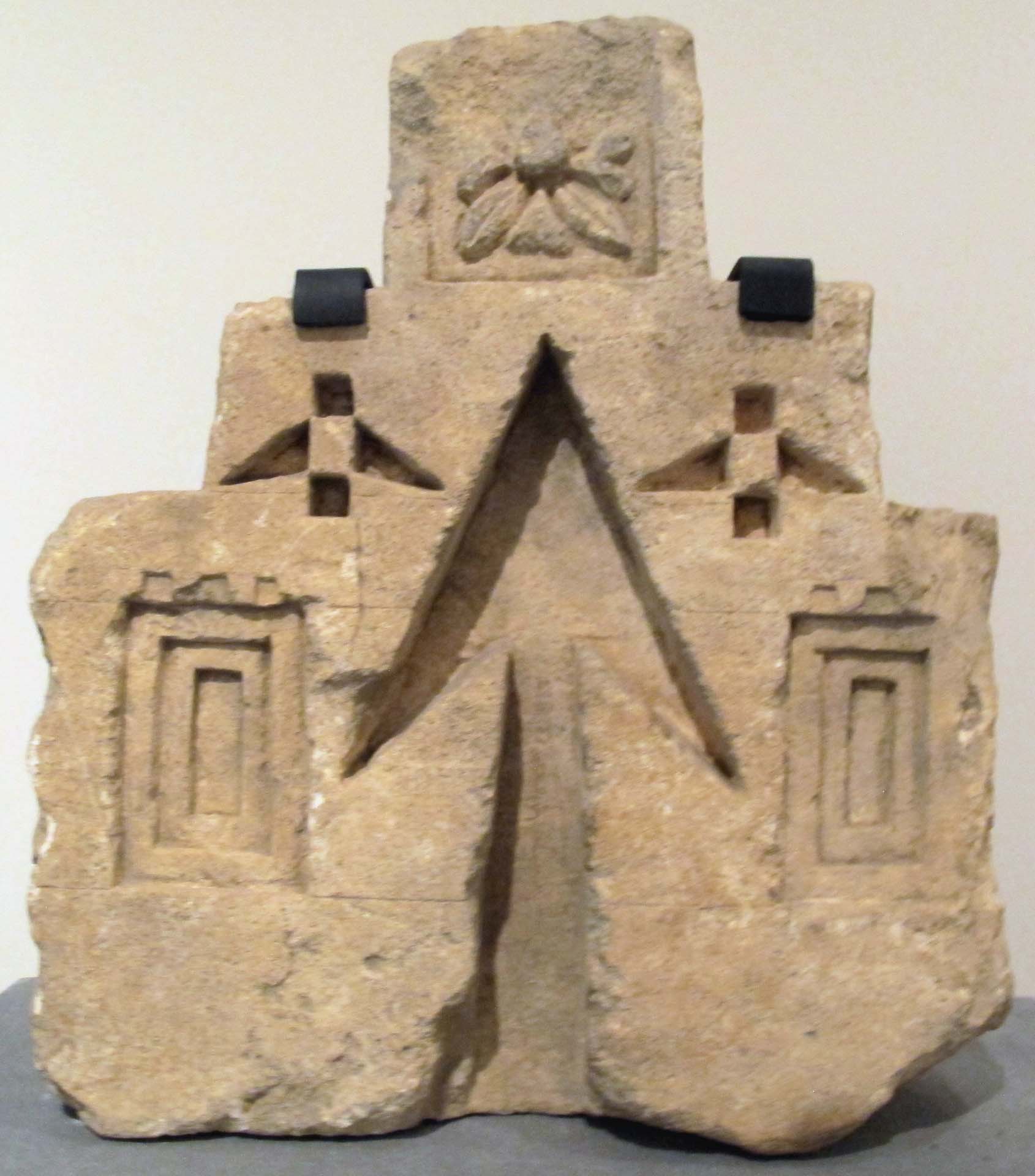
Gallery
Explore photographs of ancient structures, artifacts, and archaeological excavations

Historical Timeline
Journey through time and discover key events in this site's history
Statue destroyed during Taliban iconoclasm
February–March 2001
French excavations
1952–1966
Archaeological Features
Unique architectural and cultural elements found at this historical site
Defensive Structures
Water Management Features
Religious and Ritual Structures
Artistic and Decorative Features
Environmental and Natural Features
Frequently Asked Questions
Plan Your Visit
Tours, travel arrangements, and practical information
More Sites in Afghanistan
Mes Aynak
Buddhist settlement with copper deposits
Dilberjin Tepe
Ancient town with Kushan-era citadel and murals.
Tapa Shotor
Large Sarvastivadin monastery with Hellenistic influences
Fondukistan monastery
Buddhist monastery with intricate sculptures
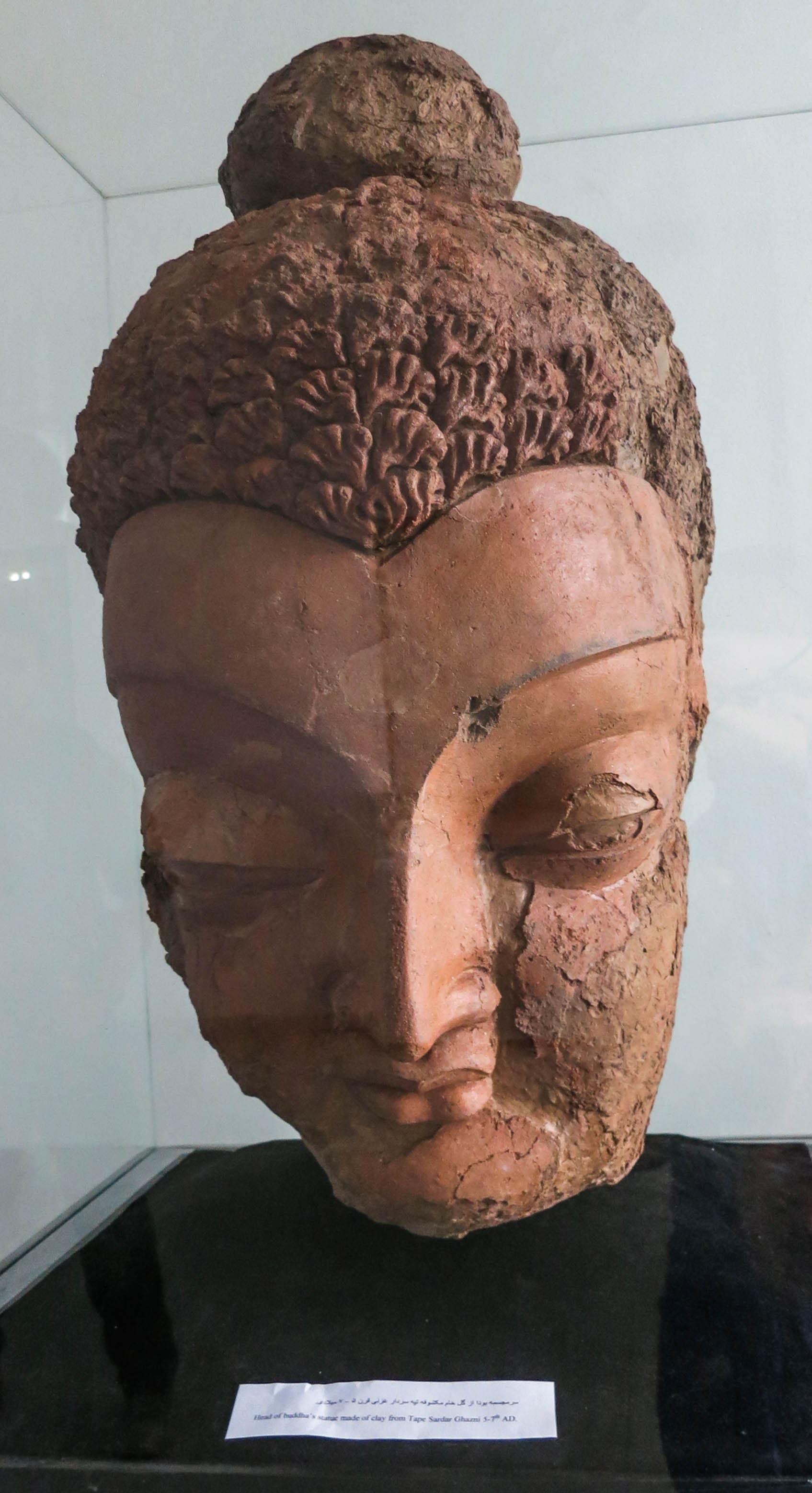
Tepe Sardar
Ancient Buddhist monastery with Hellenistic influence
Buddhas of Bamiyan
Monumental Buddhist statues in cliff niches