Explore the Map
Kratul
42.1228° N, 19.5750° E
About
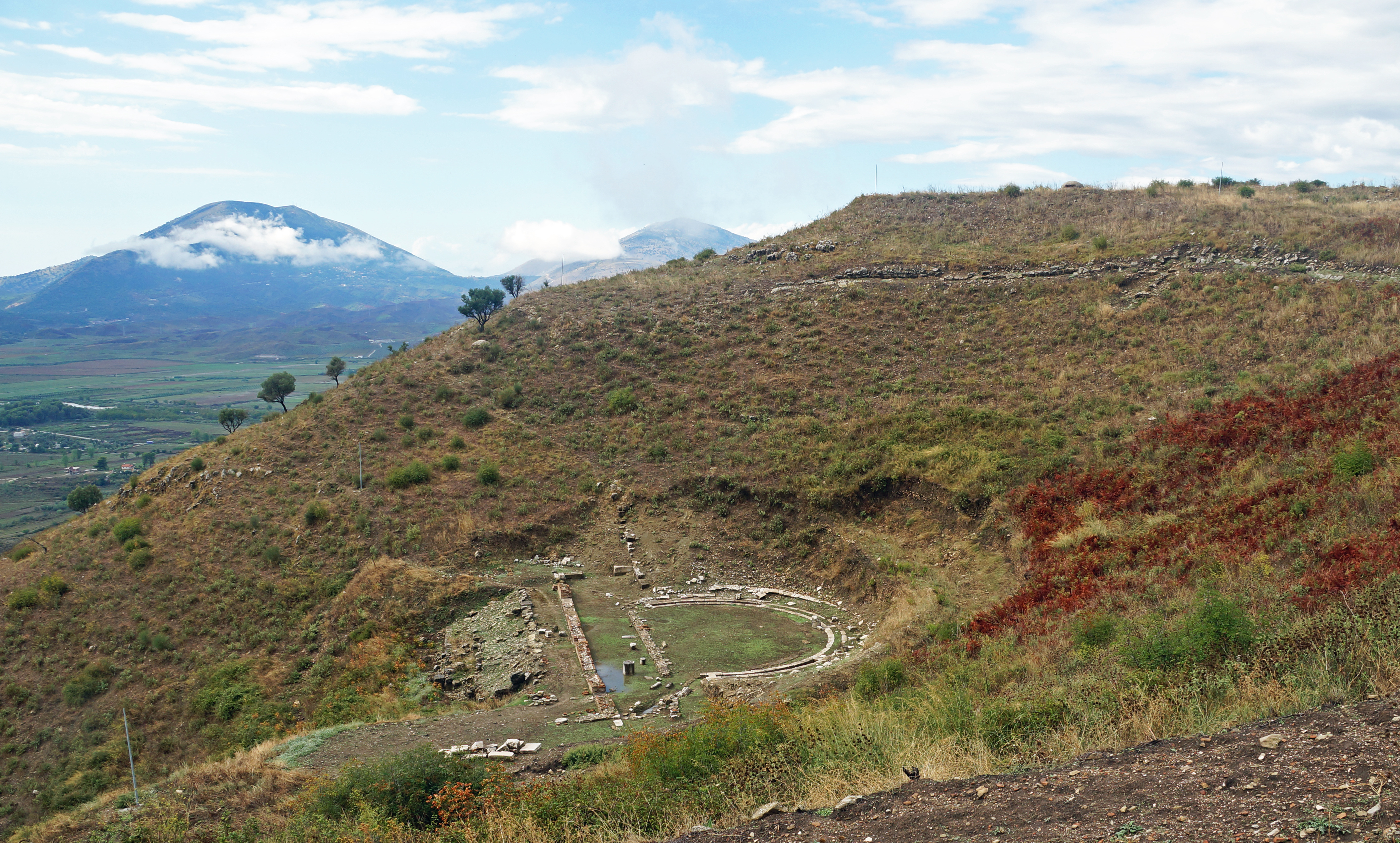
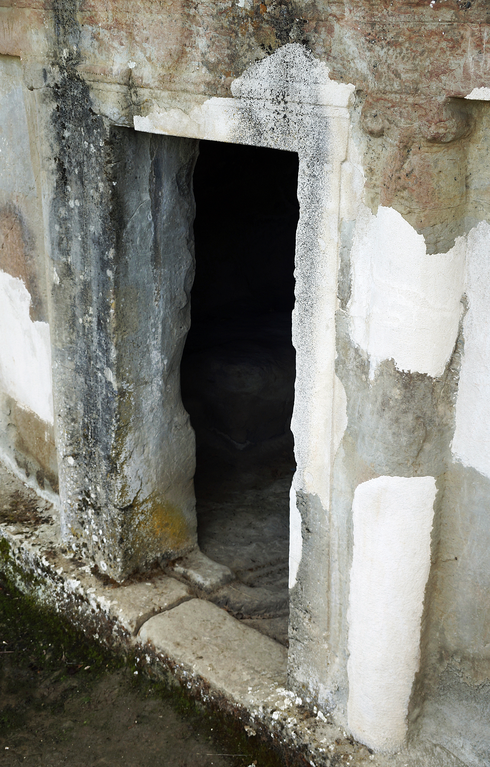
Kratul was an Illyrian settlement characterized by its unique elliptical fortification, located in the territory of the Labeates tribe in modern-day northern Albania. The site was occupied from the early Iron Age through to the 1st century CE, showcasing a distinctive military architecture with walls constructed from unworked stones without mortar. The fortification featured three strategically placed gates and was similar in layout to other nearby Illyrian sites, such as Gajtan, but with notable differences in shape and the absence of towers. Situated on a hill, Kratul's ruins overlook the modern village of Boks, with the nearby Shtoj tumuli indicating earlier Bronze Age activity in the region. This site provides significant insights into the defensive strategies and settlement patterns of the Illyrian tribes during the Iron Age.
Historical Timeline
Journey through time and discover key events in this site's history
Iron Age Settlement
1000 BCE
Fortification Construction
1st millennium BCE
Abandonment of Site
100 CE
Archaeological Features
Unique architectural and cultural elements found at this historical site
Defensive Structures
Transportation and Communication Structures
Frequently Asked Questions
Plan Your Visit
Tours, travel arrangements, and practical information
More Sites in Albania
Selcë e Poshtme
Illyrian settlement and royal tombs, Mokra region, Albania
Phoenice
Ancient Greek city with fortifications and acropolis.
Royal Tombs of Selca e Poshtme
Rock-cut royal tombs with Greek influences
Antigonia (Chaonia)
Ancient city with preserved walls and church.
Apollonia (Illyria)
Ancient Greek trade colony and Roman city.
Kamenica Tumulus
Largest burial monument in Albania