
Hallstatt-Dachstein / Salzkammergut Cultural Landscape
<p>Human activity in the magnificent natural landscape of the Salzkammergut began in prehistoric times, with the salt deposits being exploited as early as…
Explore the Map
Hallstatt-Dachstein / Salzkammergut Cultural Landscape
47.5594° N, 13.6464° E
About
<p>Human activity in the magnificent natural landscape of the Salzkammergut began in prehistoric times, with the salt deposits being exploited as early as the 2nd millennium BC. This resource formed the basis of the area’s prosperity up to the middle of the 20th century, a prosperity that is reflected in the fine architecture of the town of Hallstatt.</p>
Plan Your Visit
Tours, travel arrangements, and practical information
Details
Austria
47.56° N, 13.65° E
More Sites in Austria
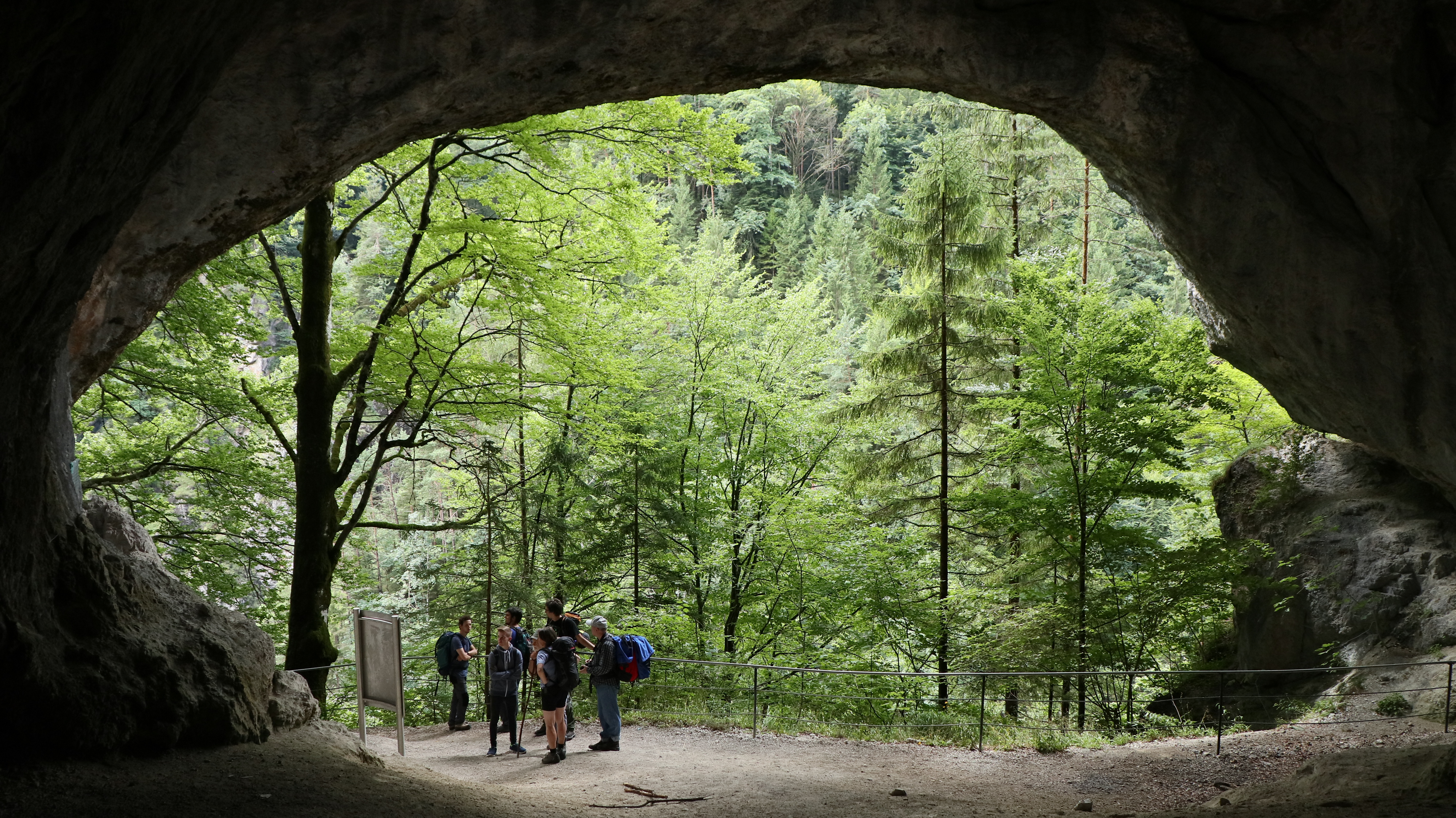
Tischofer Cave
40-meter cave with Paleolithic occupation evidence
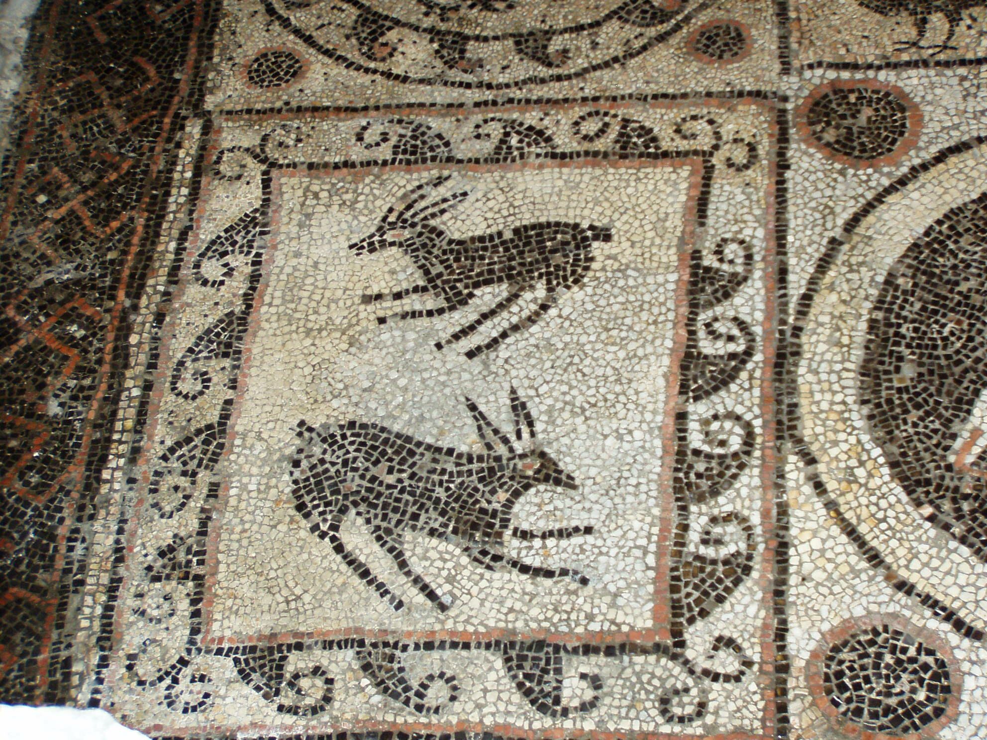
Teurnia
Roman city with churches and mosaics.
Drachenhöhle
Paleolithic cave site in Styria, Austria
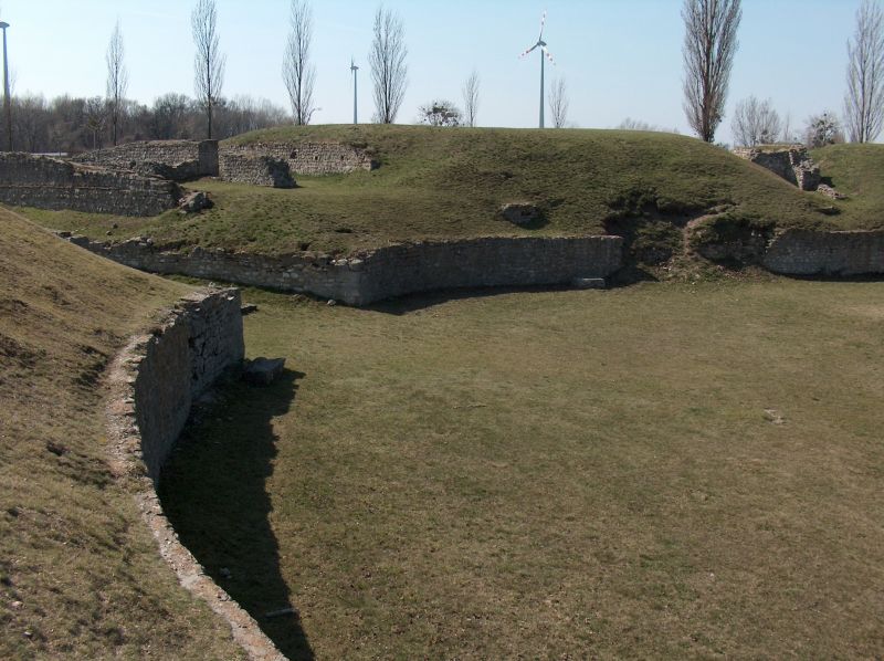
Carnuntum
Roman military and trading city ruins
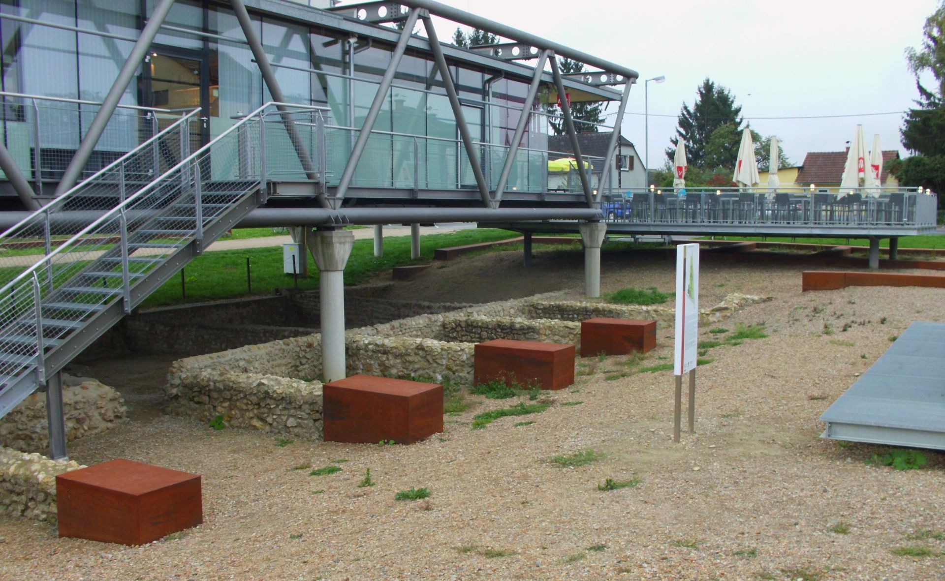
Flavia Solva
Roman municipium with stone buildings and amphitheatre
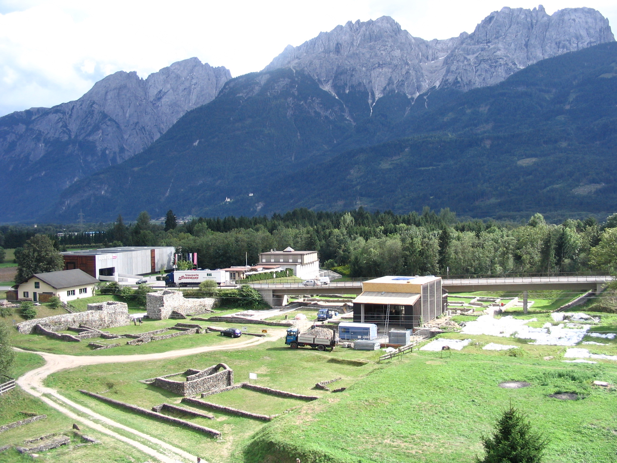
Aguntum
Roman town ruins, East Tirol (1st–3rd centuries AD)