Explore the Map
Tsaparang
31.4664° N, 79.6706° E
About
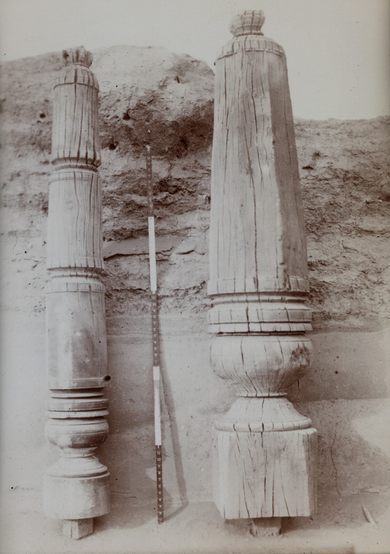
Tsaparang (Tibetan: རྩ་བྲང, Wylie: rtsa-brang) was the capital of the ancient kingdom of Guge in the Garuda Valley, through which the upper Sutlej River flows, in Ngari Prefecture (Western Tibet) near the border of Ladakh. It is 278 km south-southwest of Senggezangbo Town and 26 km west of the 11th-century monastery at Tholing, and not far west of Mount Kailash and Lake Manasarovar. The Tsaparang Dzong was located here. Nearby is the Bon monastery of Gurugem. Tsaparang is a huge fortress perched on a pyramid-shaped rock rising about 500 to 600 feet (152 to 183 m) at the end of a long narrow spur. It contains numerous tunnels and caves that have been carved out of the rock. At its base was a village where the common people lived. Above them were two public temples - the Lhakhang Marpo (Red Chapel) and the Lhakhang Karpo (White Chapel), and quarters for the monks. Up, a twisting stone staircase in a tunnel were the royal quarters, and at the very top, the summer palace. The English TV presenter and historian Michael Wood, in the "Shangri-La" episode of the BBC TV/PBS documentary series In Search of Myths and Heroes, suggested that Tsaparang was the historical origin of the legend of Shangri-La, and that its two great temples were once home to the kings of Guge in modern Tibet.
Historical Timeline
Journey through time and discover key events in this site's history
Langdarma reign
838–841 CE
Guge emerges as regional power
10th century CE
Western Tibetan settlement by Langdarma's descendants
c. 919 CE
First recorded European visit
Summer 1624
António de Andrade departs Tibet
1628
Ladakhi invasion of Guge
1630
António de Andrade assassinated
1634
Manuel Marques expedition
1640
Conquest by Central Tibet
1679–1680
Archaeological Features
Unique architectural and cultural elements found at this historical site
Defensive Structures
Miscellaneous Features
Public and Civic Structures
Religious and Ritual Structures
Artistic and Decorative Features
Domestic and Habitation Structures
Environmental and Natural Features
Frequently Asked Questions
Plan Your Visit
Tours, travel arrangements, and practical information
More Sites in China
Yunju Temple
Buddhist temple complex with vast stone sutra steles, China
Lingyin Temple
Chan Buddhist temple in Hangzhou, China
Laosicheng
Largest, best-preserved ancient Tusi city
Tomb of An Jia
Sogdian funerary monument in Xi'an, Northern Zhou (6th century)
Endere
Ancient military post and Buddhist center
Ye (Hebei)
Ancient Chinese city, significant historical capital