
Explore the Map
Heidetrank Oppidum
50.2208° N, 8.5219° E
About
The Heidetränk Oppidum, located near Oberursel in the Taunus region of Germany, stands as a significant Celtic settlement from the late Iron Age. Characterized by its impressive defensive ramparts spanning 10 km and incorporating six gates, the oppidum highlights the sophisticated fortification strategies of the period. The site reached its zenith during the late La Tène period before its importance waned in the mid-1st century BCE. Archaeological finds at the site include agricultural tools such as plowshares and sickles, various other tools, and Celtic coins, including the Nauheim Quinarius, which suggests local minting activities. The Heidetränk Oppidum is notably younger than neighboring settlements at Altkönig and Bleibeskopf, indicating a later phase of regional occupation and development.
Gallery
Explore photographs of ancient structures, artifacts, and archaeological excavations
Historical Timeline
Journey through time and discover key events in this site's history
Settlement Peak
1st century BCE
Loss of Importance
1st century BCE
Archaeological Features
Unique architectural and cultural elements found at this historical site
Defensive Structures
Miscellaneous Features
Industrial and Craft Structures
Frequently Asked Questions
Plan Your Visit
Tours, travel arrangements, and practical information
More Sites in Germany
Teufelsstein (Haardt)
Monolith with Celtic and Roman carvings
Kyffhausen Castle
Medieval castle ruin with Neolithic origins
Utin (castle)
9th-century Wendish castle on island
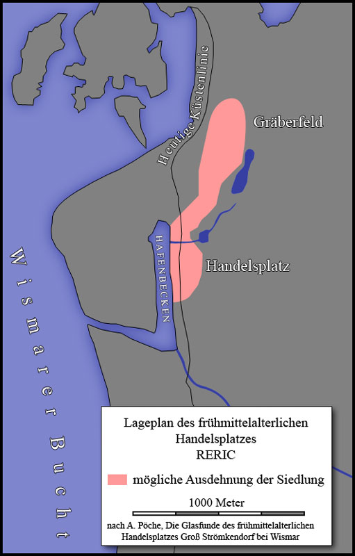
Reric
Slavic-Scandinavian Viking Age emporium remains

Menosgada
Celtic oppidum with defensive structures

Milseburg
Extinct volcano with Celtic oppidum remains