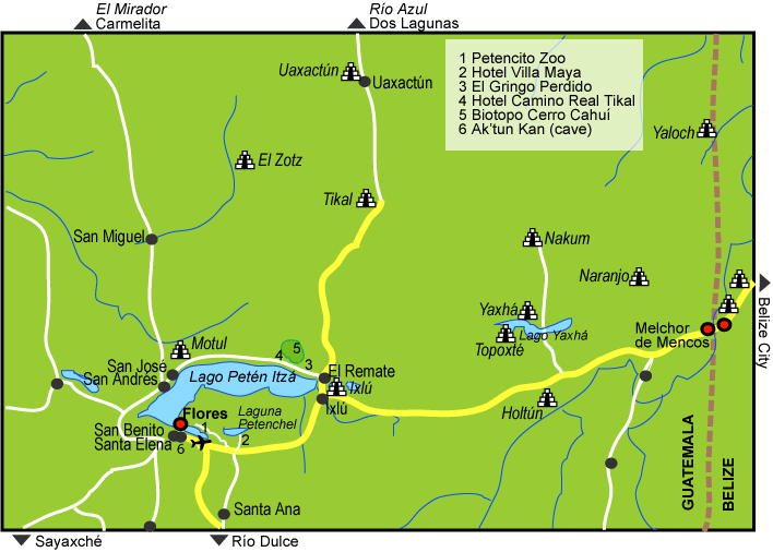
Explore the Map
Yaxha
17.0775° N, -89.4025° E
About
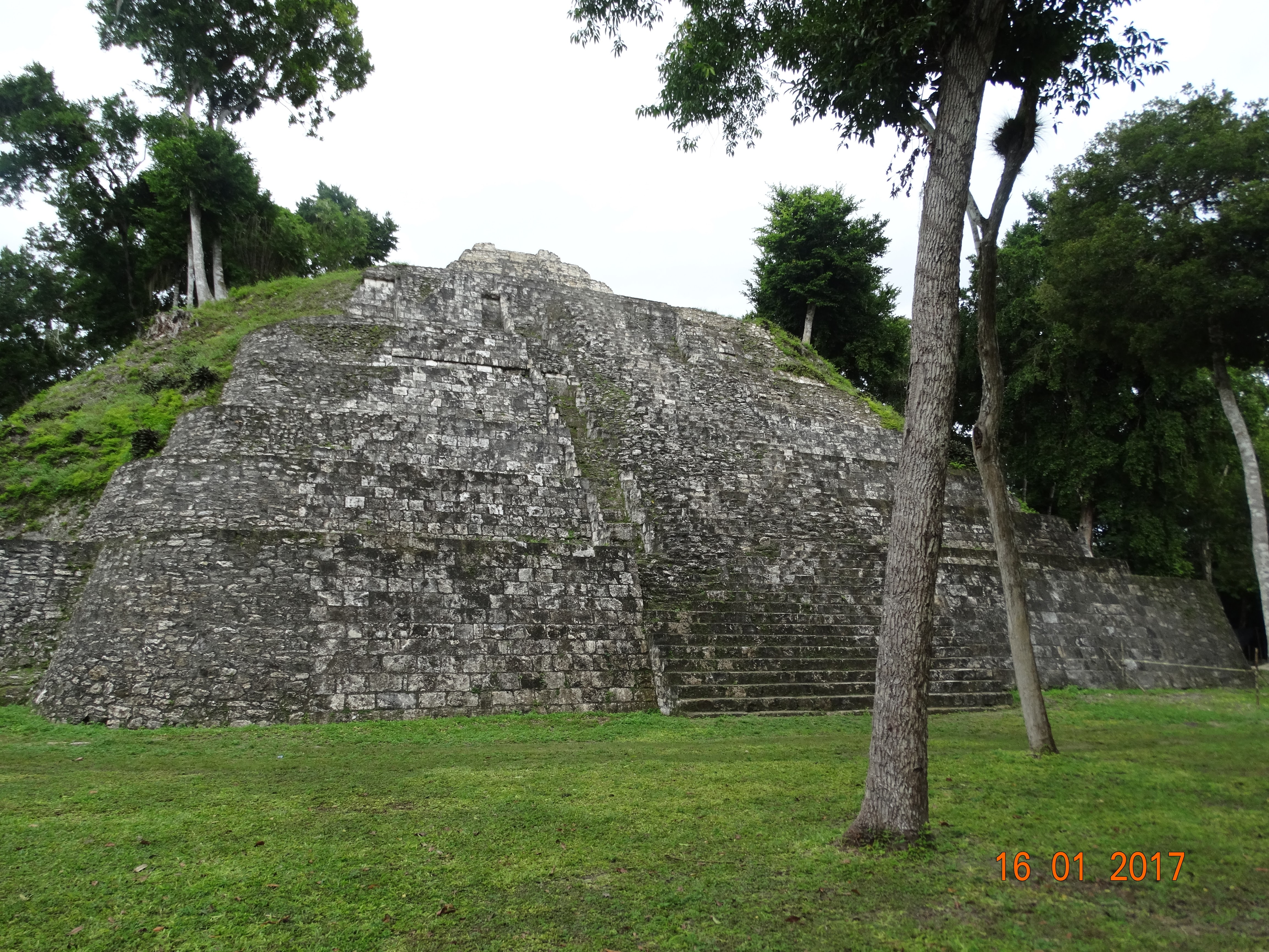
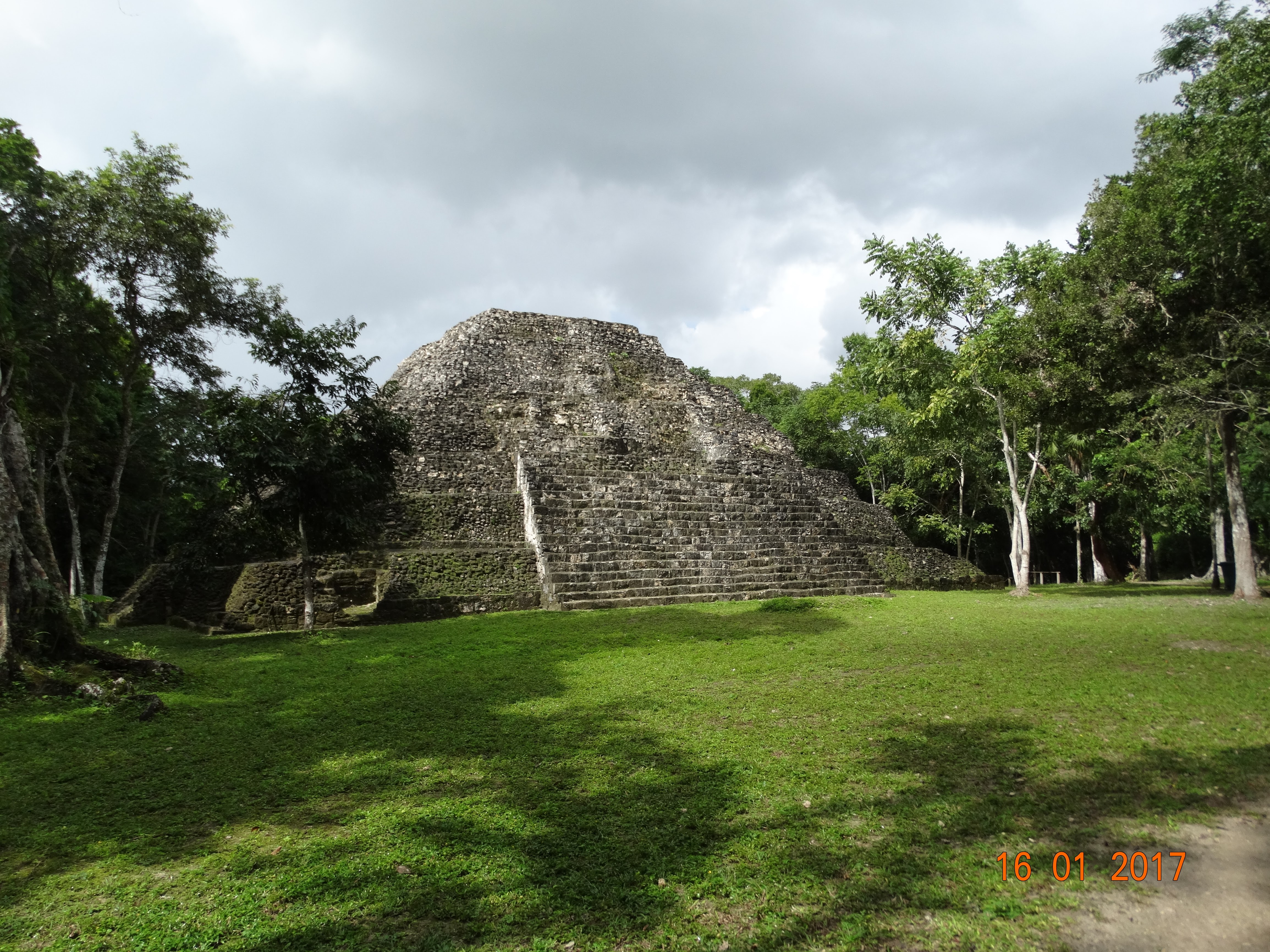
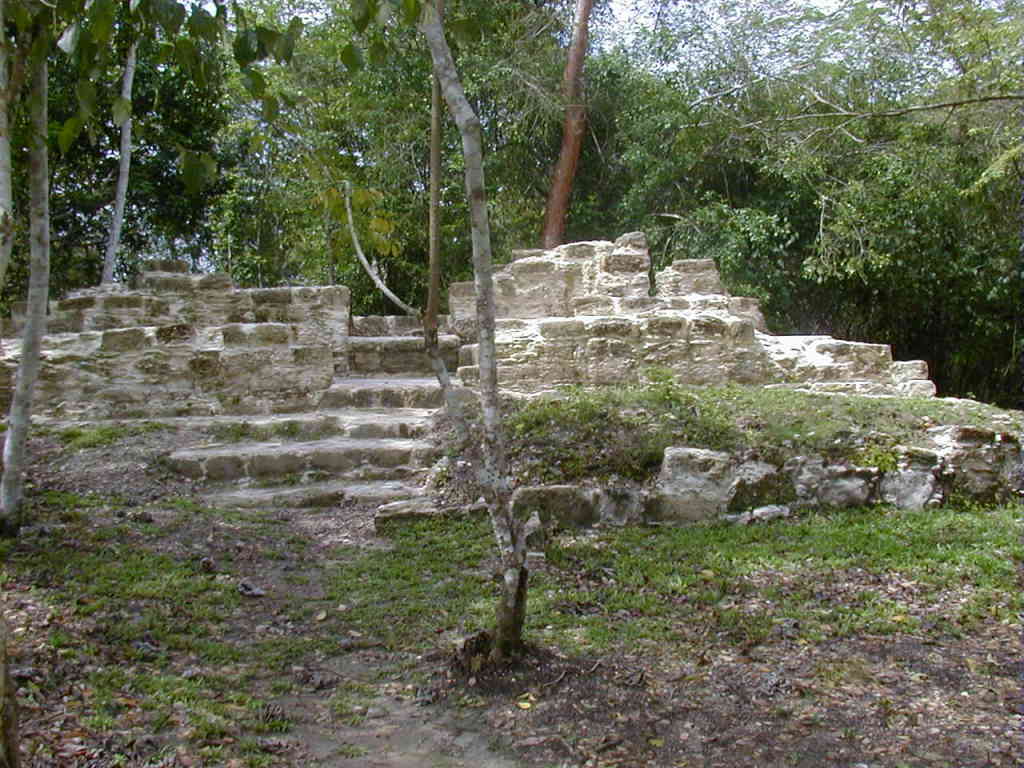
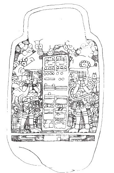
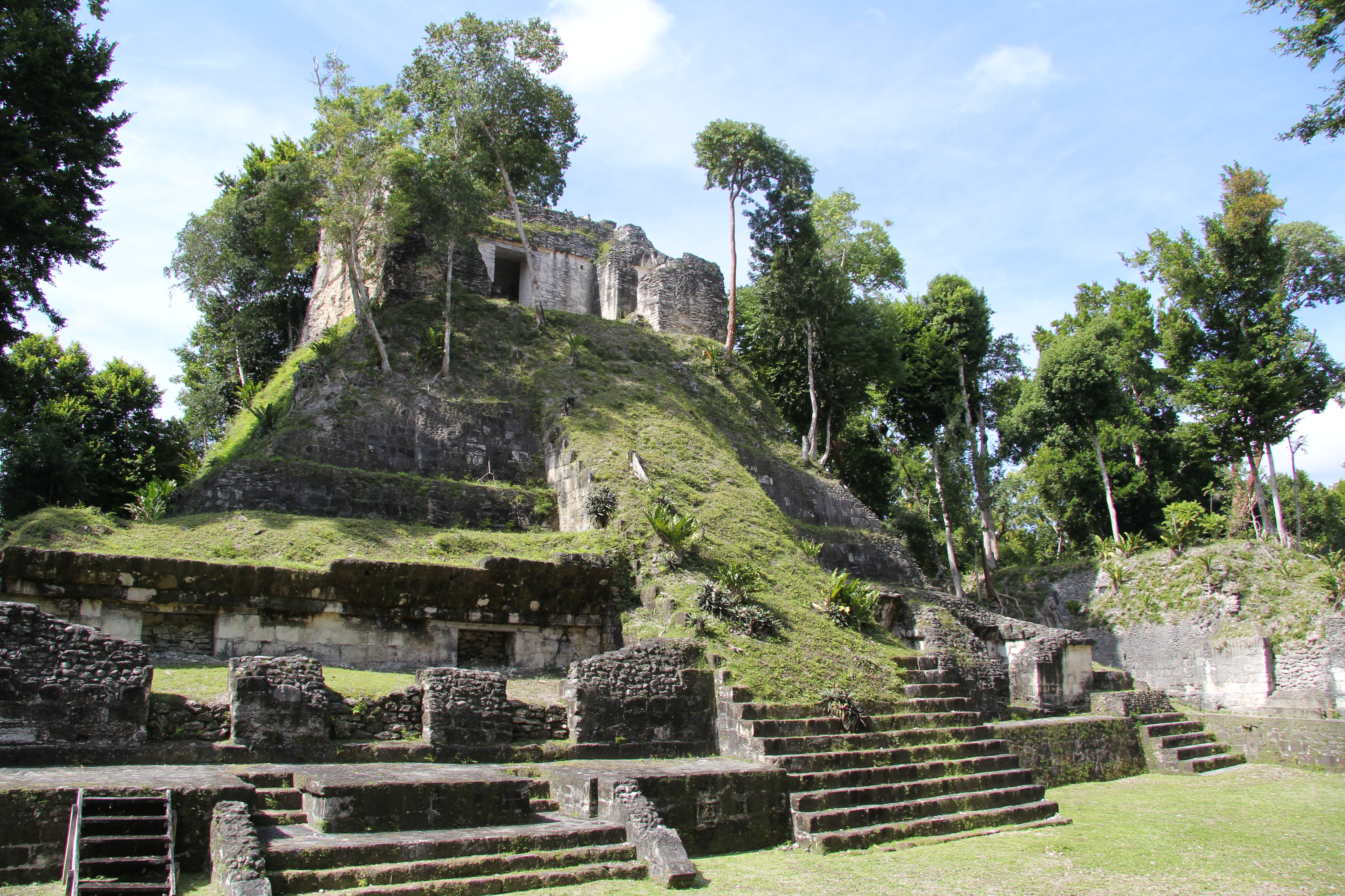
Yaxha (or Yaxhá in Spanish orthography) is a Mesoamerican archaeological site in the northeast of the Petén Basin in modern-day Guatemala. As a ceremonial centre of the pre-Columbian Maya civilization, Yaxha was the third largest city in the region and experienced its maximum power during the Early Classic period (c. AD 250–600). The city was located on a ridge overlooking Lake Yaxha. The name of the city derives from the Mayan for "blue-green water"; it is a notable survival of a Classic period place-name into the modern day. The Yaxha kingdom is estimated to have covered an area of 237 square kilometres (92 sq mi) and to have had a peak population of 42,000 in the Late Classic period of Mesoamerican chronology. Yaxha had a long history of occupation with the first settlement being founded sometime in the Middle Preclassic period (c. 1000–350 BC). It developed into the largest city in the eastern Petén lakes region during the Late Preclassic (c. 350 BC – AD 250) and expanded into an enormous city during the Early Classic (c. AD 250–600). At this time, in common with other sites in Petén, it shows strong influence from the distant metropolis of Teotihuacan in the Valley of Mexico. It was eclipsed during the Late Classic (c. AD 600–900) by neighbouring Naranjo but was never completely dominated. The city survived well into the Terminal Classic (c. 800–900) but was abandoned by the Postclassic period (c. 900–1525). The ruins of the city were first reported by Teoberto Maler who visited them in 1904. The site was mapped in the 1930s and again in the 1970s and stabilisation work began in the late 1980s. The ruins include the remains of more than 500 structures with a number of major archaeological groups linked by causeways. Approximately 40 Maya stelae have been discovered at the site, about half of which feature sculpture.
Gallery
Explore photographs of ancient structures, artifacts, and archaeological excavations

Historical Timeline
Journey through time and discover key events in this site's history
Early Classic florescence
c. AD 250–600
Late Preclassic expansion
c. 350 BC – AD 250
Teotihuacan influence after AD 378
AD 378
End of Early Classic earthquake
c. AD 600
Late 8th-century dynastic marriage
late 8th century AD
Sacking by Naranjo
AD 710
Attacks and capture of Yaxha's king
AD 799
Terminal Classic activity
c. AD 800–900
Postclassic abandonment
c. AD 900–1525
Middle Preclassic settlement founded
c. 1000–350 BC
Modern reporting by Teoberto Maler
1904
Carnegie mapping
1930s
1970s mapping and test excavations
early 1970s
Damage survey and stabilisation
1987–1988
Early 21st-century research and conservation
early 21st century
South Acropolis excavations
2005–2007
Archaeological Features
Unique architectural and cultural elements found at this historical site
Public and Civic Structures
Burial and Funerary Structures
Religious and Ritual Structures
Artistic and Decorative Features
Domestic and Habitation Structures
Transportation and Communication Structures
Frequently Asked Questions
Plan Your Visit
Tours, travel arrangements, and practical information


More Sites in Guatemala
La Blanca, Peten
Mesoamerican site with acropolis and plazas
El Pilar
Ancient Maya city with plazas and temples
Motul de San José
Significant Maya civic-ceremonial center.
Xultun
Large Classic Maya archaeological complex
Takalik Abaj
Large Mesoamerican site with Olmec-Maya features.
Nakum
Restored Maya site with monumental architecture.