Explore the Map
Tell al-Lahm
30.8333° N, 46.3333° E
About
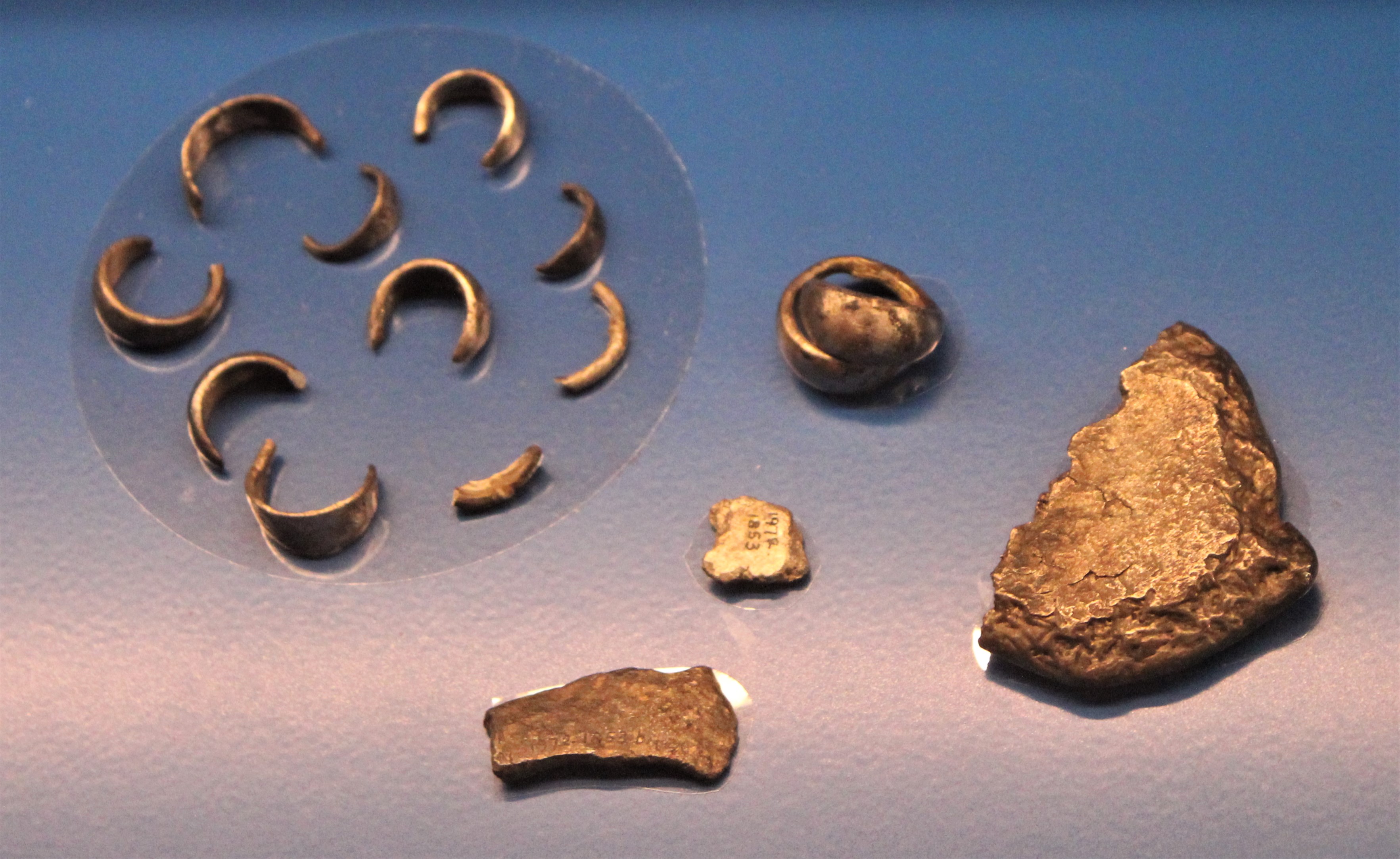
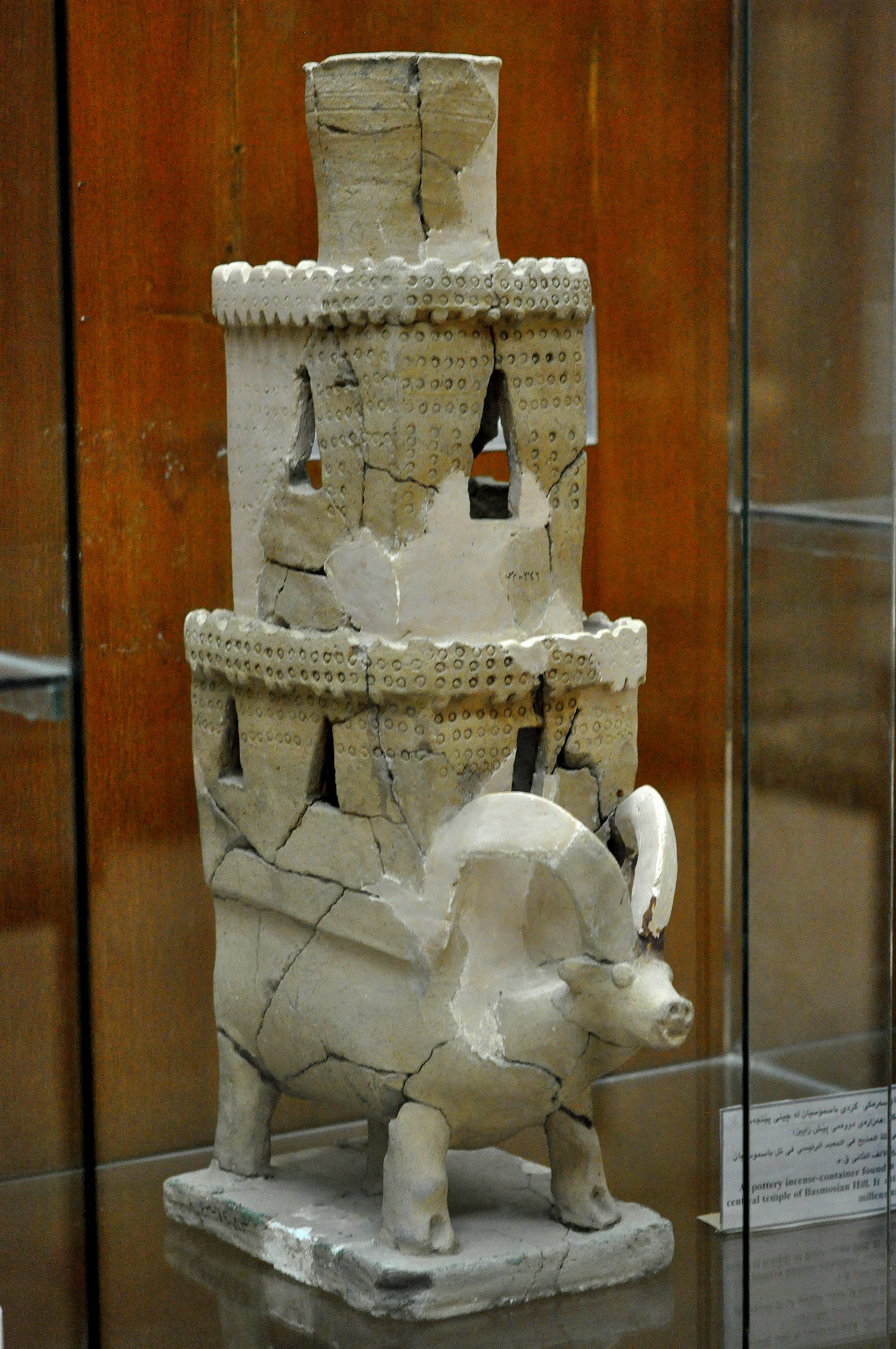
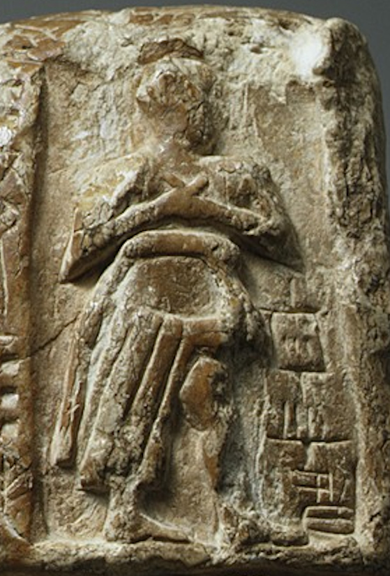
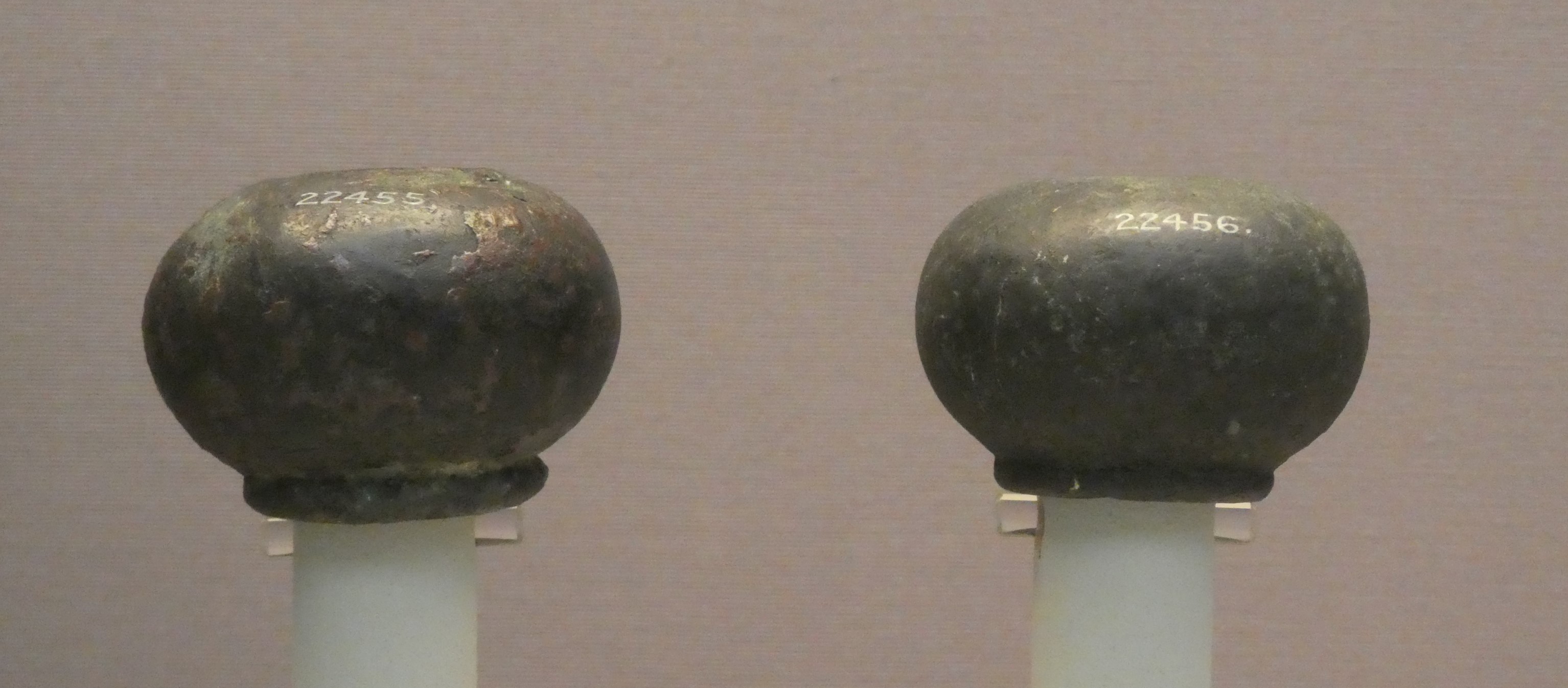
Tell al-Lahm is an archaeological site located in the Dhi Qar Governorate of Iraq, approximately 38 kilometers southeast of the ancient city of Ur. The site is characterized by an oblong main mound, surrounded by peripheral ridges and the remnants of a city wall with circular buttresses at the corners. Historically, the site experienced extensive occupation during several key Mesopotamian periods, including the Early Dynastic, Akkadian Empire, Ur III, Isin-Larsa, Old Babylonian, and Kassite periods. Archaeological excavations have uncovered defensive structures, religious and ritual features, and burial sites. The Nabonidus Cylinder, among other findings, has sparked debates regarding the site's historical name, with possibilities including Kisik, Dur-Iakin, and Kuara. The site has also suffered damage from looting and military activities, highlighting its vulnerability and the need for preservation.
Historical Timeline
Journey through time and discover key events in this site's history
Early Dynastic Occupation
29th century BCE
Akkadian Empire Occupation
23rd century BCE
Ur III Period Occupation
21st century BCE
Isin-Larsa Period Occupation
20th century BCE
Old Babylonian Period Occupation
19th century BCE
Kassite Period Occupation
16th century BCE
Archaeological Features
Unique architectural and cultural elements found at this historical site
Defensive Structures
Burial and Funerary Structures
Religious and Ritual Structures
Frequently Asked Questions
Plan Your Visit
Tours, travel arrangements, and practical information
More Sites in Iraq
Tell Taya
Ancient hill city with fortifications and artifacts.
Tell Bazmusian
Large tell site with multi-period occupation.
Larsa
Sumerian city-state and temple complex, Isin–Larsa period
Assur
Ancient Assyrian city on the Tigris River
Tell Muhammad
Ancient site with fortifications and tablets
Tell Yelkhi
Oval mound with Kassite and earlier remains.