Explore the Map
Tell Begum
35.2994° N, 45.8836° E
About
Tell Begum is an archaeological site characterized by a steep conical mound and a lower mound, located in the Shahrizor Plain of Iraqi Kurdistan. The site spans an area of 5 hectares and was first investigated by Iraqi archaeologists in 1960. Excavations have revealed layers dating back to the Late Halaf period, followed by a resettlement during the Late Chalcolithic 1 period and continued occupation into the Late Chalcolithic 3 period, reflecting its significance across different eras. Additionally, evidence of medieval occupation adds to the historical tapestry of the site. Tell Begum offers valuable insights into the cultural and historical developments of the region from prehistoric times through the medieval period.
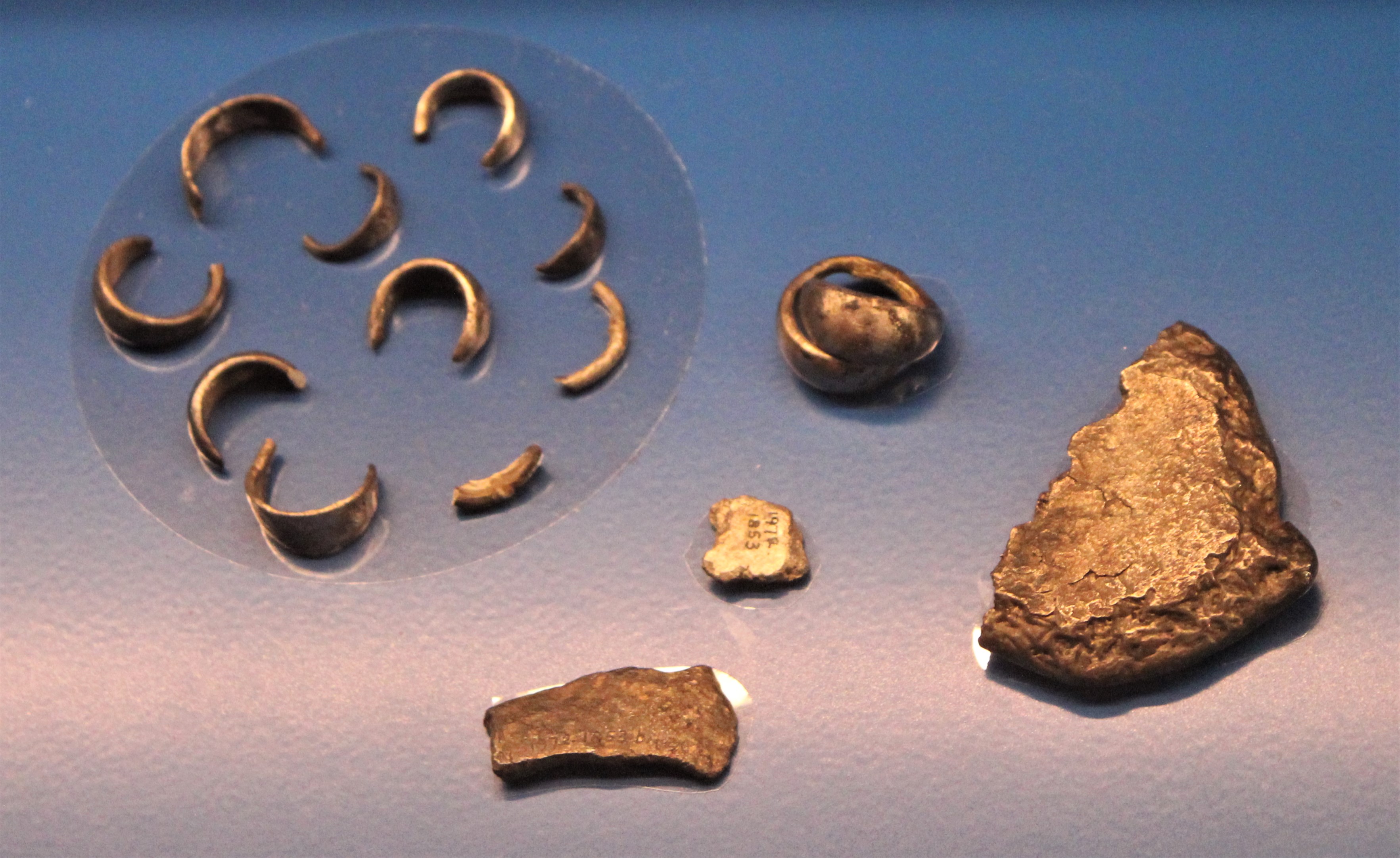
Gallery
Explore photographs of ancient structures, artifacts, and archaeological excavations

Historical Timeline
Journey through time and discover key events in this site's history
Late Chalcolithic 1 resettlement
4300 BCE
Late Chalcolithic 3 occupation
3600 BCE
Medieval occupation
Unknown specific date CE
Late Halaf period occupation
Unknown specific date BCE
Archaeological Features
Unique architectural and cultural elements found at this historical site
Environmental and Natural Features
Frequently Asked Questions
Plan Your Visit
Tours, travel arrangements, and practical information
More Sites in Iraq
Larsa
Sumerian city-state and temple complex, Isin–Larsa period
Tell Bazmusian
Large tell site with multi-period occupation.
Tell al-Lahm
Oblong mound with city wall remnants
Nil (Iraq)
Medieval city with canal and bridge.
Tell Rashid
Ubaid period settlement mound in Iraq
Tell Taya
Ancient hill city with fortifications and artifacts.