Explore the Map
Adullam
31.6500° N, 35.0025° E
About
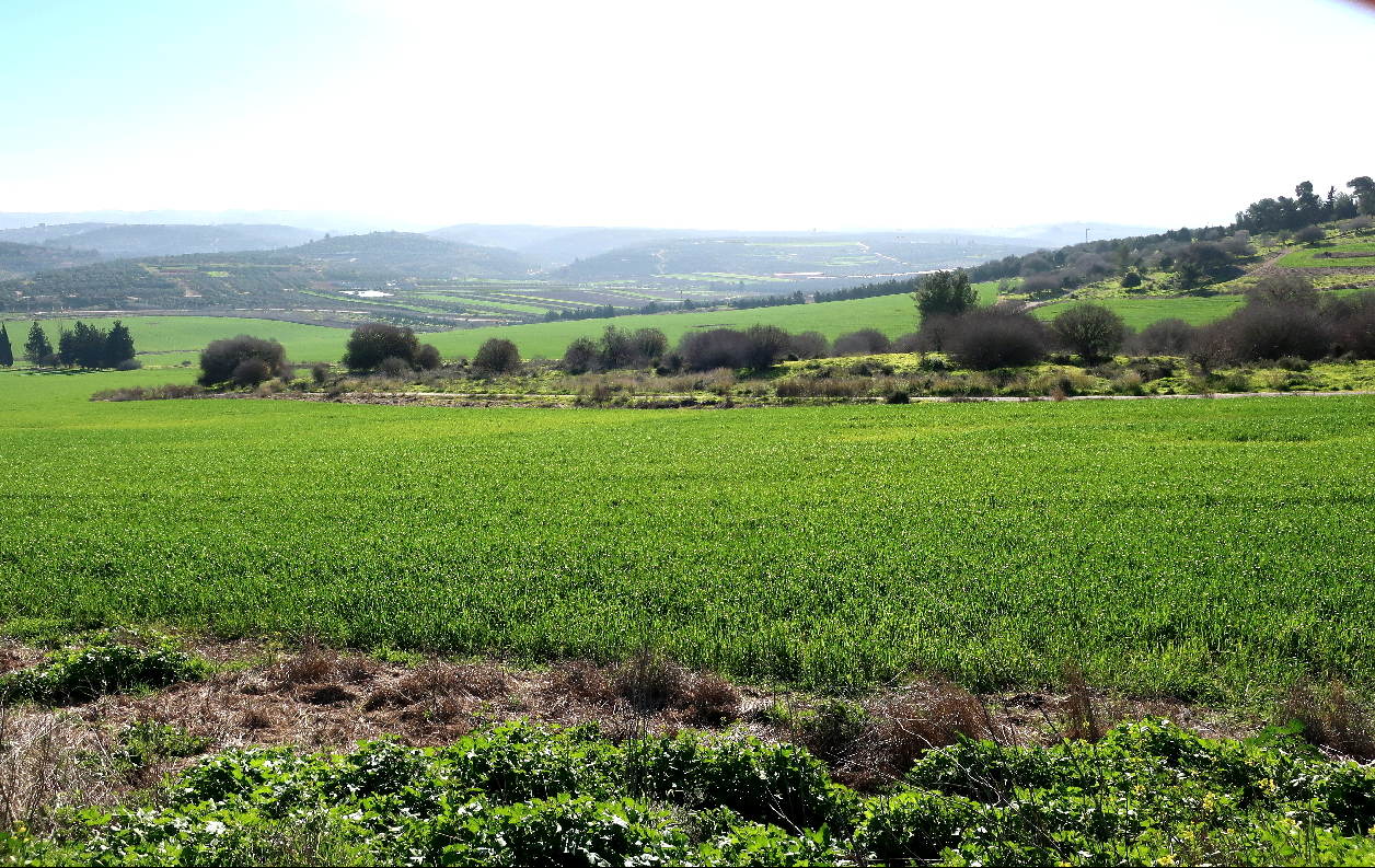
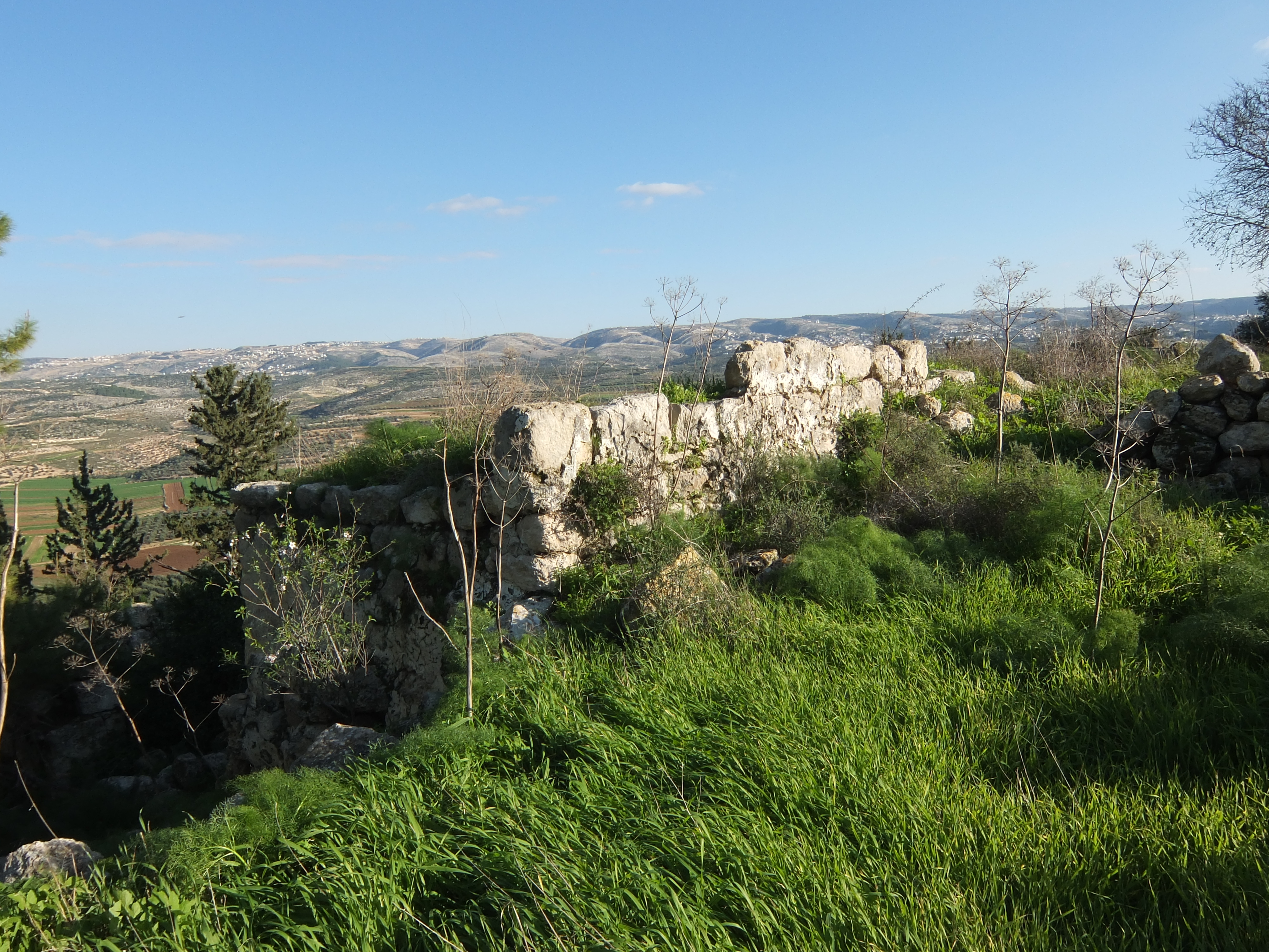
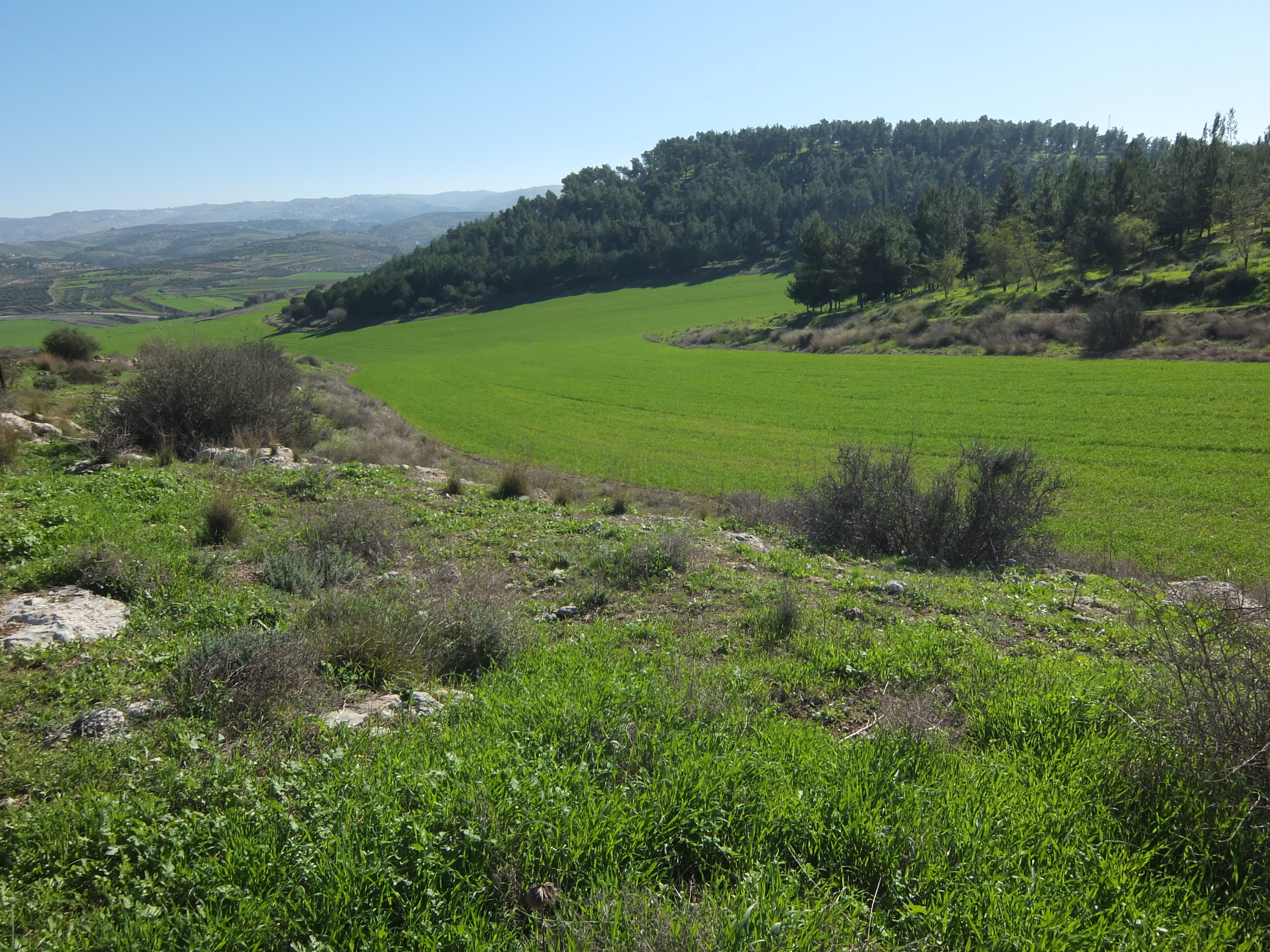
Adullam is an archaeological site of great historical significance, located on a hilltop that overlooks the Elah Valley. The site, once a Canaanite city-state, is characterized by its ancient structures, including cisterns carved into the rock and remnants of stone buildings. Throughout its history, Adullam played a strategic role, serving as a refuge for David during his flight from King Saul and later being fortified by Rehoboam. The site also features a Muslim shrine and has been connected to various historical events, including the Maccabean Revolt. Archaeological surveys have revealed sedimentary layers containing artifacts from the Early Bronze Age to the Ottoman period, highlighting its long-lasting occupation and importance. Adullam’s historical and archaeological layers provide valuable insights into the region's cultural and political transformations over millennia.
Gallery
Explore photographs of ancient structures, artifacts, and archaeological excavations

Historical Timeline
Journey through time and discover key events in this site's history
Canaanite city-state period
16th century BCE
Israelite conquest
13th century BCE
David's refuge in Adullam
11th century BCE
Rehoboam's fortification
10th century BCE
Assyrian encroachment
8th century BCE
Judas Maccabaeus's retreat
163 BCE
Eusebius's account
4th century CE
Ottoman tax record
1596 CE
Archaeological Features
Unique architectural and cultural elements found at this historical site
Defensive Structures
Water Management Features
Burial and Funerary Structures
Religious and Ritual Structures
Agricultural and Land Use Features
Domestic and Habitation Structures
Transportation and Communication Structures
Frequently Asked Questions
Plan Your Visit
Tours, travel arrangements, and practical information
More Sites in Israel
Tel Kabri
Bronze Age Canaanite palace and settlement
Tell Qasile
Philistine port city with temples and houses
Timna Valley
Copper mining and unique sandstone formations

Ein Avdat
Desert canyon with springs and ancient habitations.
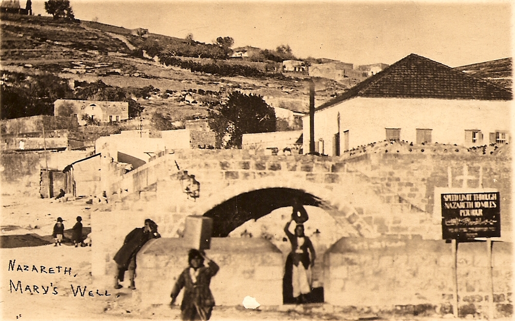
Mary's Well
Ancient water supply with religious significance
Tel Tanninim
Ancient tell near Mediterranean with Byzantine remains