
Explore the Map
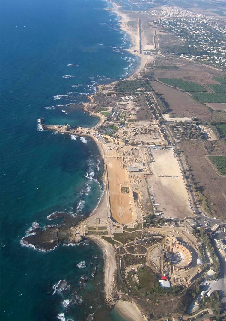
Caesarea Maritima
32.5000° N, 34.8917° E
About
Caesarea Maritima, an ancient port city on the Eastern Mediterranean coast, offers a rich tapestry of archaeological features spanning multiple periods. Initially a Phoenician colony, it was significantly expanded by Herod the Great in the 1st century BCE, who developed it into a major urban center with impressive harbors, aqueducts, and public structures like theaters and temples. Over centuries, it transitioned from a Roman provincial capital to a Byzantine Christian hub and later to a fortified Crusader city. Its varied history is reflected in its remains, which include defensive walls, religious edifices, and intricate mosaics. Despite its decline post-Mamluk conquest, Caesarea remains a vital archaeological site reflecting the complex cultural and political history of the region.
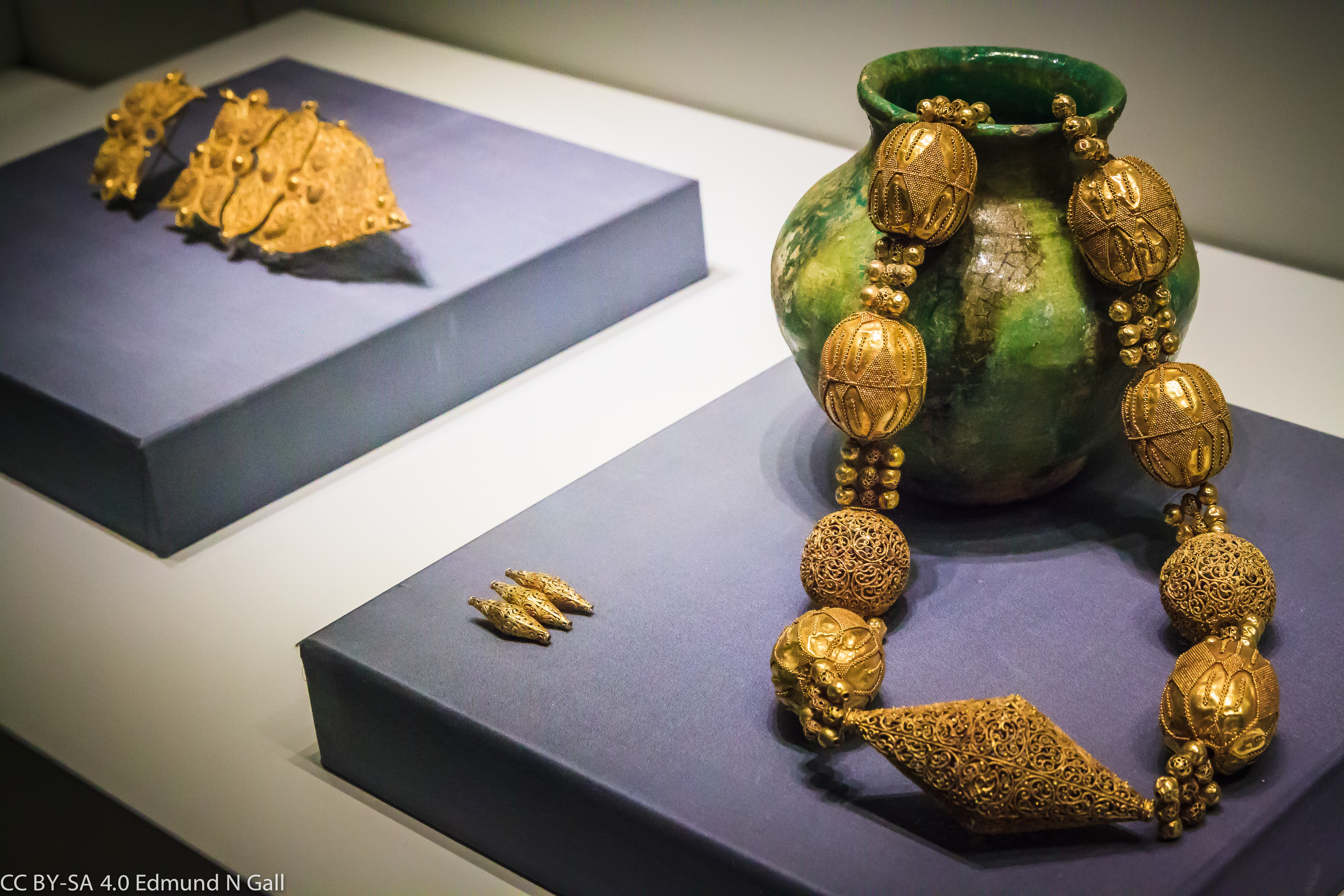
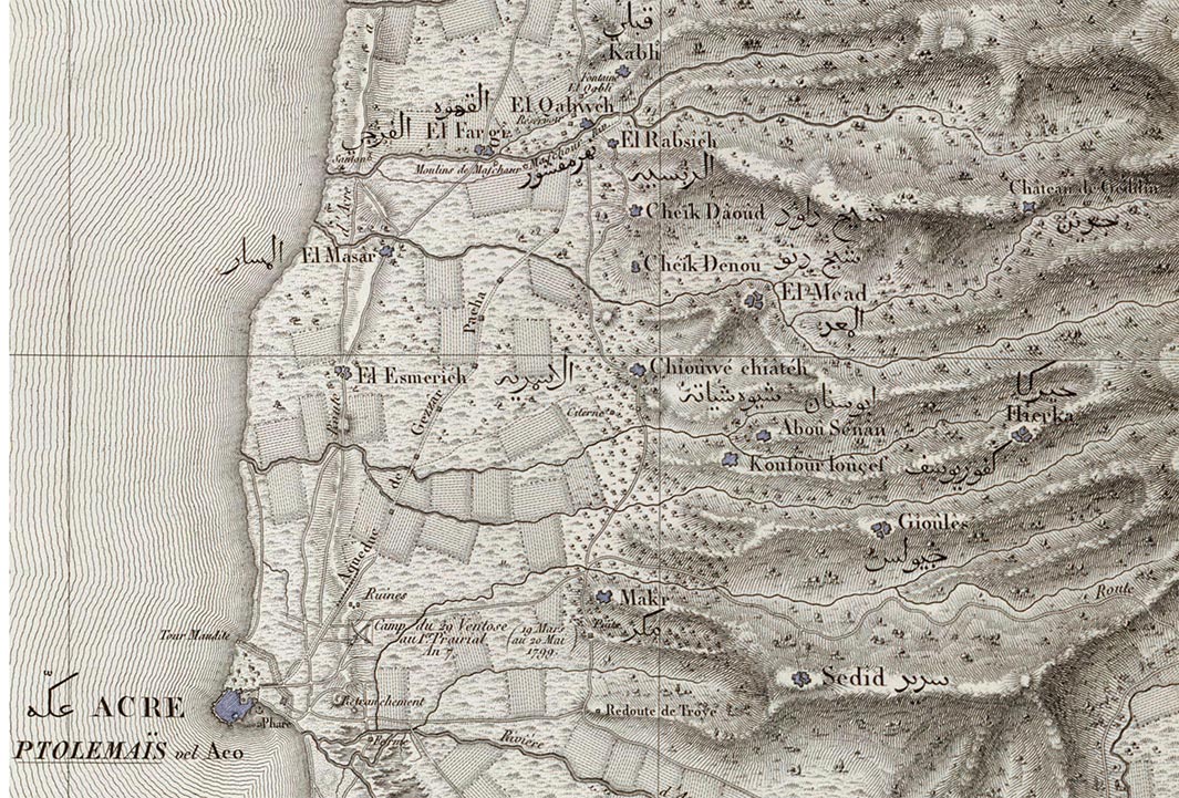
Gallery
Explore photographs of ancient structures, artifacts, and archaeological excavations

Historical Timeline
Journey through time and discover key events in this site's history
Phoenician Colony Founded
4th century BCE
Roman Provincial Capital
6 CE
Herodian Expansion
22-10 BCE
Byzantine Period
4th century CE
Muslim Conquest
640 CE
Crusaders Capture
1101 CE
Mamluk Destruction
1265 CE
Archaeological Features
Unique architectural and cultural elements found at this historical site
Defensive Structures
Water Management Features
Public and Civic Structures
Religious and Ritual Structures
Artistic and Decorative Features
Domestic and Habitation Structures
Transportation and Communication Structures
Frequently Asked Questions
Plan Your Visit
Tours, travel arrangements, and practical information
More Sites in Israel
Tel Kabri
Bronze Age Canaanite palace and settlement
Tell Qasile
Philistine port city with temples and houses
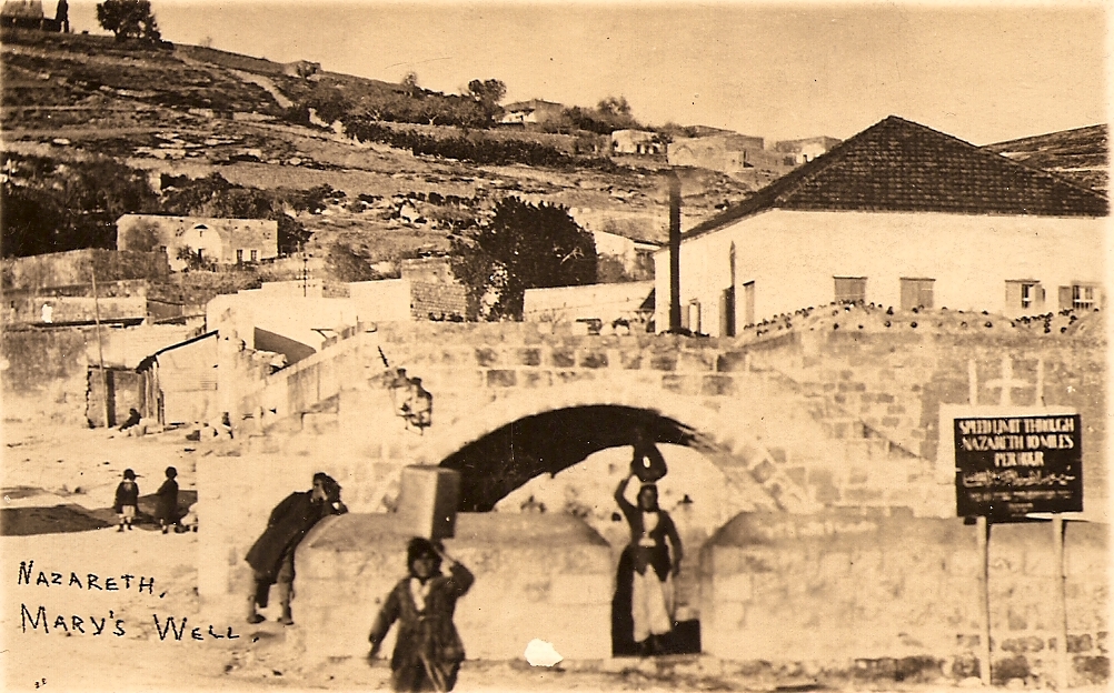
Mary's Well
Ancient water supply with religious significance

Ein Avdat
Desert canyon with springs and ancient habitations.
Tel Tanninim
Ancient tell near Mediterranean with Byzantine remains
Timna Valley
Copper mining and unique sandstone formations