
Explore the Map
Hippos (Golan Heights)
32.7790° N, 35.6600° E
About
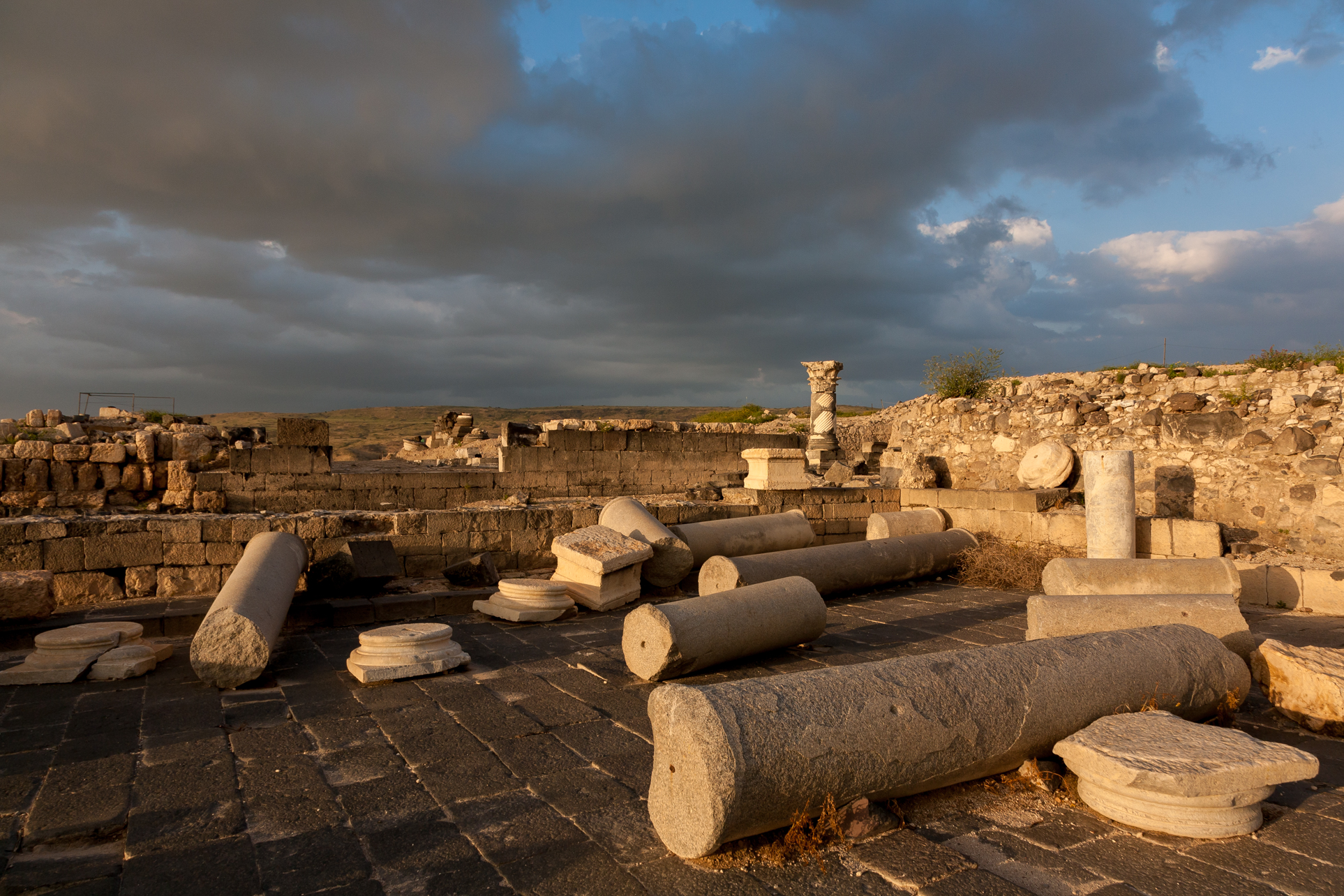
Hippos, also known as Sussita, is situated on a hill east of the Sea of Galilee, forming part of the Golan Heights. This ancient city, initially founded in the mid-2nd century BCE by the Seleucids, was later integrated into the Roman Empire and became part of the Decapolis. It features prominent Hellenistic and Roman architectural elements, including defensive walls, a theatre, basilicas, and an aqueduct system. Hippos transitioned to a predominantly Christian city during the Byzantine period, evidenced by its churches and bishopric. The city's prosperity peaked in the early 2nd century CE, bolstered by Roman infrastructural advancements. However, it was abandoned following a catastrophic earthquake in 749 CE. Today, archaeological findings at Hippos provide significant insights into its historical development and cultural transformations over several centuries.
Gallery
Explore photographs of ancient structures, artifacts, and archaeological excavations
Historical Timeline
Journey through time and discover key events in this site's history
Roman conquest
63 BCE
Chalcolithic habitation
Early/Middle Chalcolithic period
Hellenistic city founding
mid-2nd century BCE
Peak prosperity and growth
early 2nd century CE
Christianization of Hippos
4th century CE
Muslim conquest
641 CE
Abandonment after earthquake
749 CE
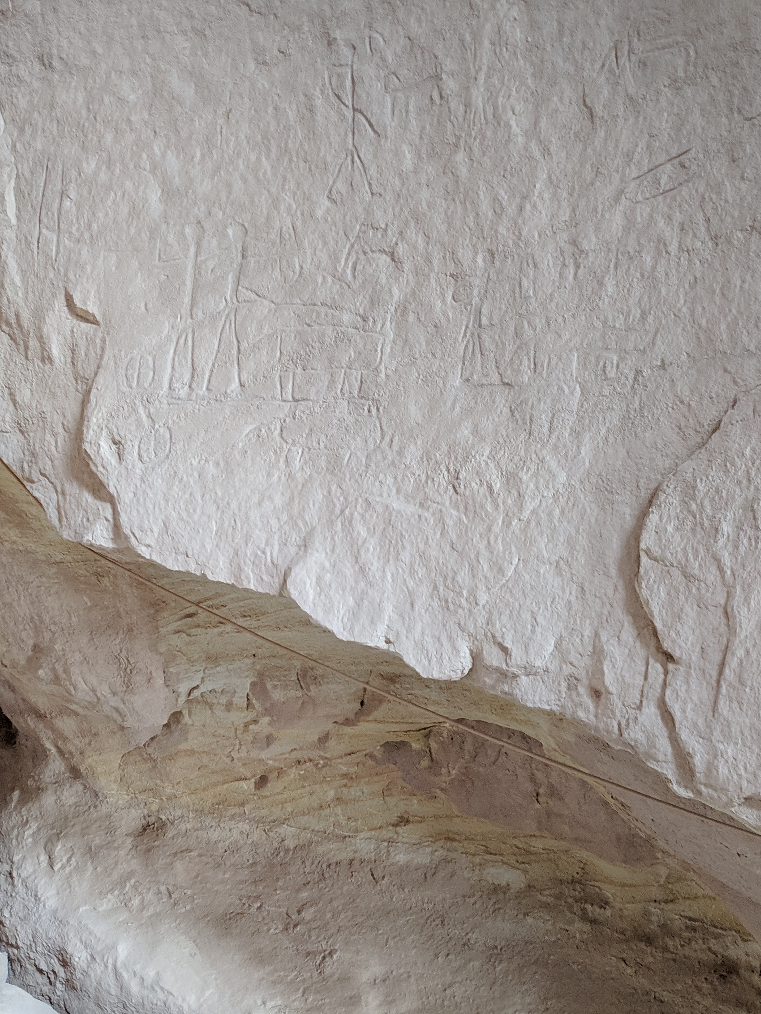
Archaeological Features
Unique architectural and cultural elements found at this historical site
Defensive Structures
Water Management Features
Public and Civic Structures
Burial and Funerary Structures
Religious and Ritual Structures
Artistic and Decorative Features
Domestic and Habitation Structures
Transportation and Communication Structures
Frequently Asked Questions
Plan Your Visit
Tours, travel arrangements, and practical information
Recommended Tours

More Sites in Israel
Tell Qasile
Philistine port city with temples and houses

Tel Tanninim
Ancient tell near Mediterranean with Byzantine remains
Tel Kabri
Bronze Age Canaanite palace and settlement

Ein Avdat
Desert canyon with springs and ancient habitations.
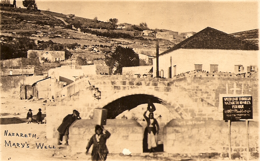
Mary's Well
Ancient water supply with religious significance
Timna Valley
Copper mining and unique sandstone formations