
Explore the Map
Horvat Sumaqa
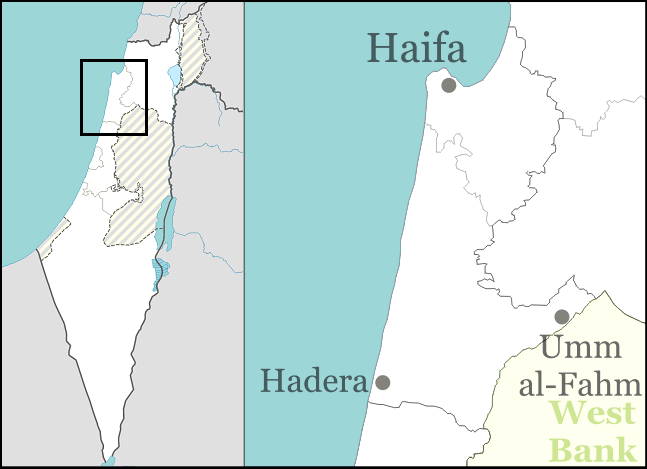
32.6711° N, 35.0400° E
About
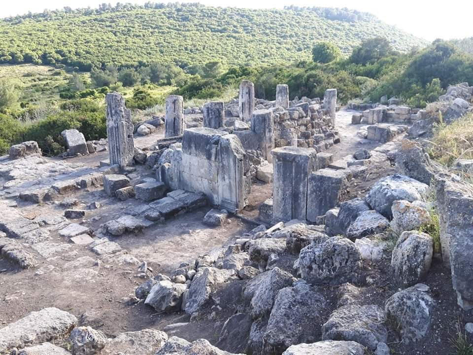
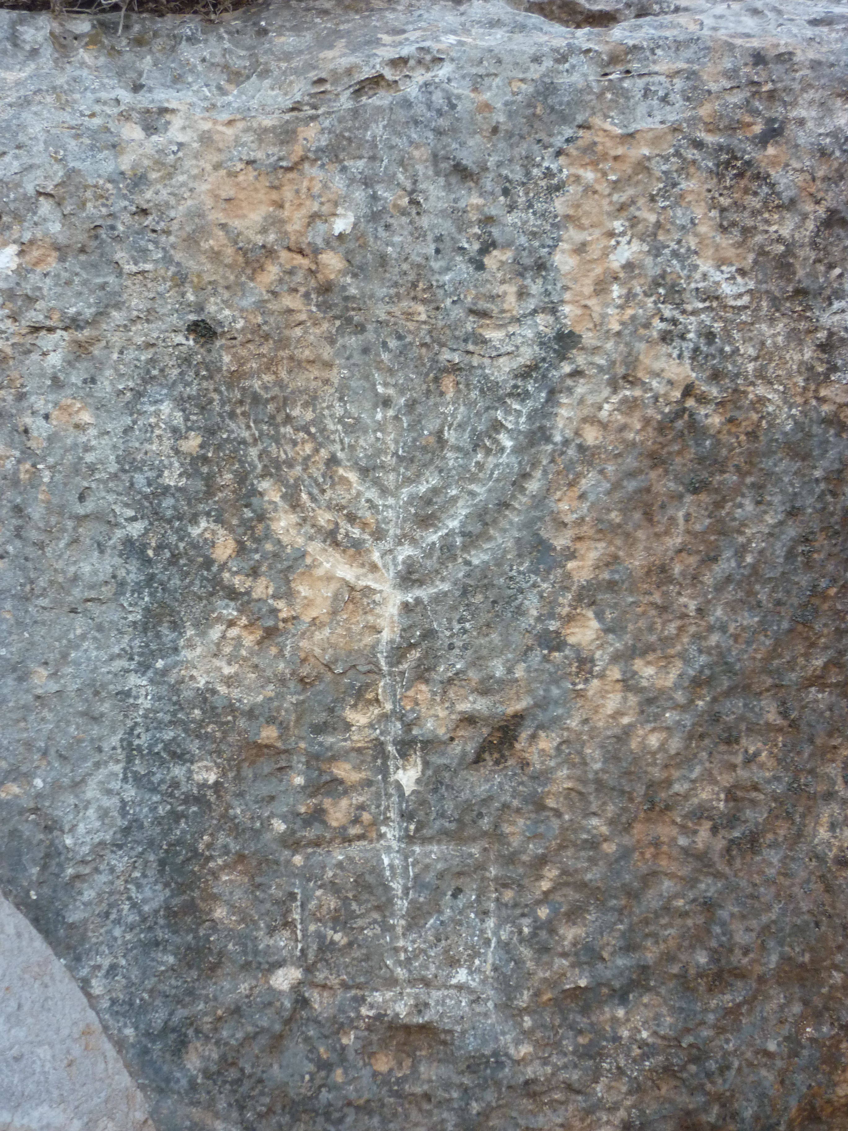
Horvat Sumaqa is a significant archaeological site located in Israel, known for the remains of one of the largest Jewish settlements during the Roman and Byzantine periods. Situated south of Mount Carmel, the site features a variety of structures, including a synagogue, residential buildings, workshops, and agricultural facilities. The synagogue, with its basilica-shaped structure and architectural remnants such as notched columns and a doorframe with lion reliefs, is a key highlight. Evidence of industrial activities, such as a tannery and potential textile dyeing, alongside extensive agricultural installations like oil presses and wine presses, reflects the site's multifaceted economic life. The presence of rock-cut tombs further emphasizes its cultural and historical richness. Despite its partial use as a resource for nearby settlements in later periods, Horvat Sumaqa remains an invaluable window into the region's past.
Gallery
Explore photographs of ancient structures, artifacts, and archaeological excavations
Historical Timeline
Journey through time and discover key events in this site's history
Roman settlement phase
2nd century CE
Synagogue initial construction
2nd century CE
Reconstruction of synagogue
4th century CE
Destruction of initial synagogue
4th century CE
Site abandonment
14th century CE
Archaeological Features
Unique architectural and cultural elements found at this historical site
Water Management Features
Burial and Funerary Structures
Industrial and Craft Structures
Religious and Ritual Structures
Artistic and Decorative Features
Agricultural and Land Use Features
Domestic and Habitation Structures
Food Production and Processing Features
Frequently Asked Questions
Plan Your Visit
Tours, travel arrangements, and practical information
More Sites in Israel
Tel Kabri
Bronze Age Canaanite palace and settlement
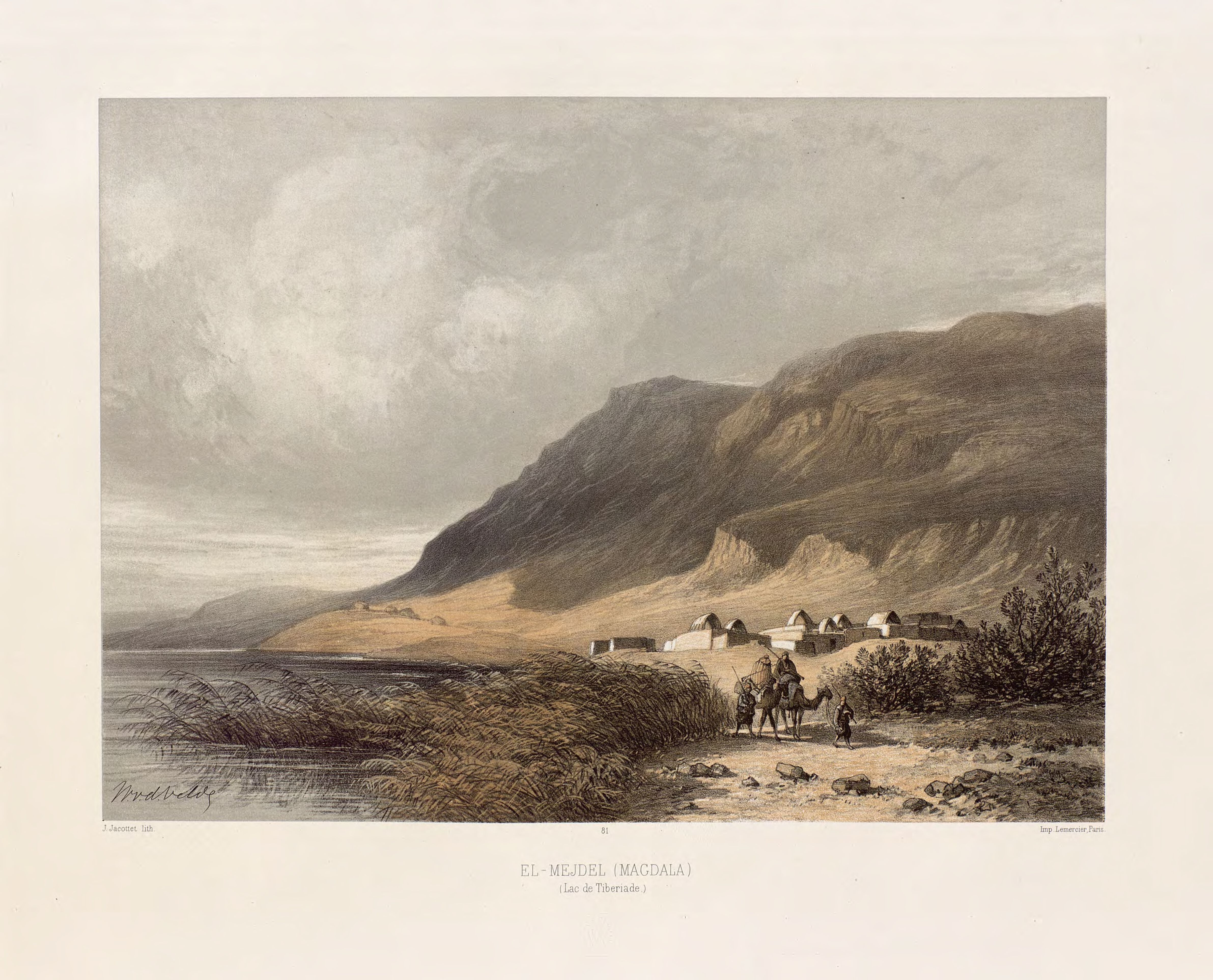
Magdala
Ancient Jewish city with Roman synagogues
Tell Qasile
Philistine port city with temples and houses

Ein Avdat
Desert canyon with springs and ancient habitations.
Tel Tanninim
Ancient tell near Mediterranean with Byzantine remains
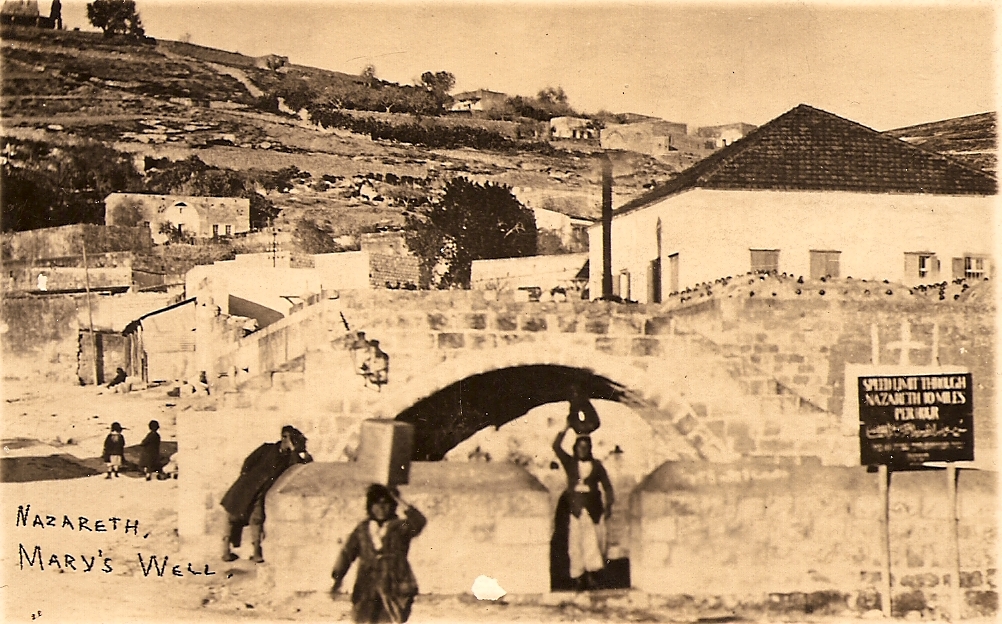
Mary's Well
Ancient water supply with religious significance