Explore the Map
Umm al-Walid
31.6500° N, 35.8936° E
About
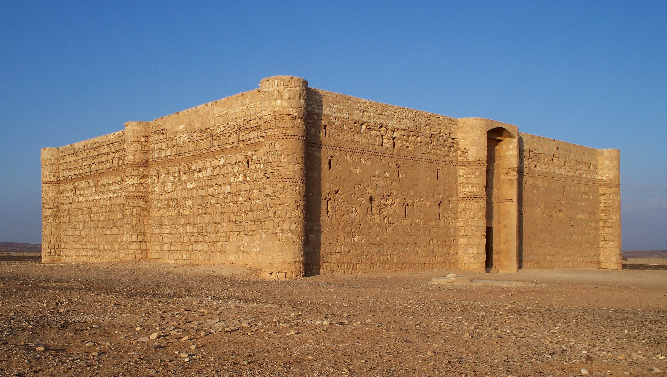
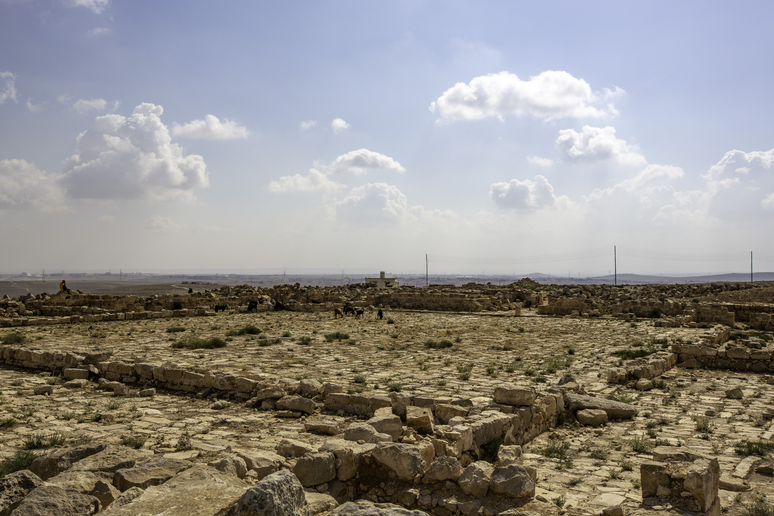
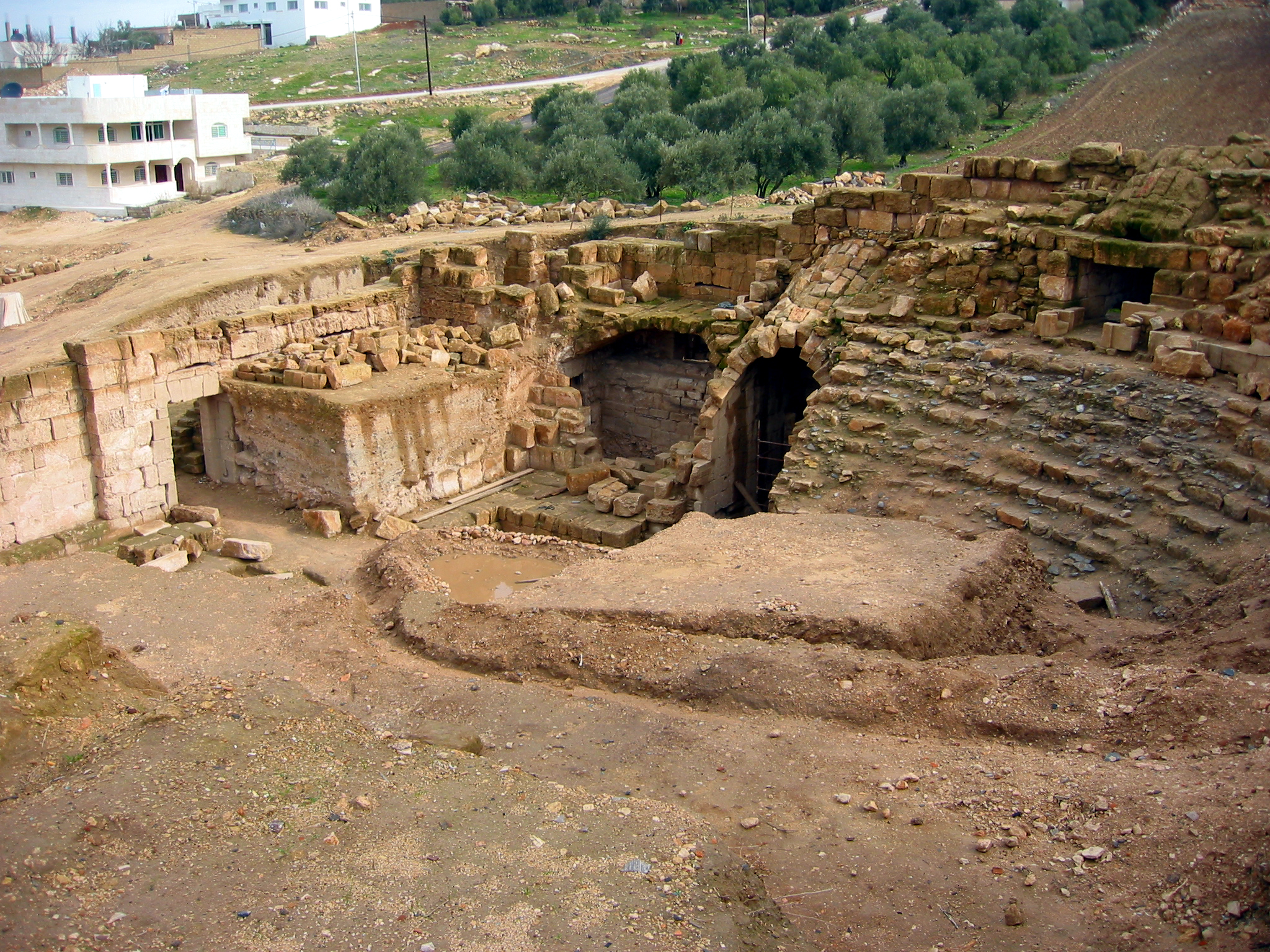
Umm al-Walid, located southeast of Madaba in Jordan, is an archaeological site of significant historical depth. The village overlays remnants of Bronze Age settlements, progressing through the Hellenistic, Roman, and Islamic periods. Its most notable features include Roman temples and burial sites, alongside a trio of Umayyad palaces and a mosque, highlighting its religious and political importance during the 8th century CE. The site also contains dams, indicating advanced water management practices. The architectural styles evolved over time, with evidence of re-use during the Abbasid and Mamluk periods. This historical layering underscores Umm al-Walid's role in regional trade and agriculture, offering insights into the socio-economic and cultural dynamics of past civilizations.
Gallery
Explore photographs of ancient structures, artifacts, and archaeological excavations

Historical Timeline
Journey through time and discover key events in this site's history
Hellenistic Settlement
from 300 BCE
Bronze Age Settlement
from 3,300 BCE
Roman Settlement
from 100 CE
Umayyad Development
from 712 CE
Abbasid Re-use
from 750 CE
Mamluk Re-use
from 1250 CE
Archaeological Features
Unique architectural and cultural elements found at this historical site
Defensive Structures
Water Management Features
Burial and Funerary Structures
Religious and Ritual Structures
Domestic and Habitation Structures
Transportation and Communication Structures
Frequently Asked Questions
Plan Your Visit
Tours, travel arrangements, and practical information
More Sites in Jordan
Tall Damiyah
Iron Age mound with unique artifacts
Tall al-Umayri
Archaeological site with temple and farms
Monastery of St Lot
Byzantine monastery with Bronze Age cave
Khirbat Ataruz
Iron Age temple and settlement remains
Tell el-Kheleifeh
Ancient fortified settlement with phased occupation.
Capitolias
Ancient Roman city with minimal ruins.