Explore the Map
Vilcabamba, Peru
-12.9040° N, -73.2030° E
About
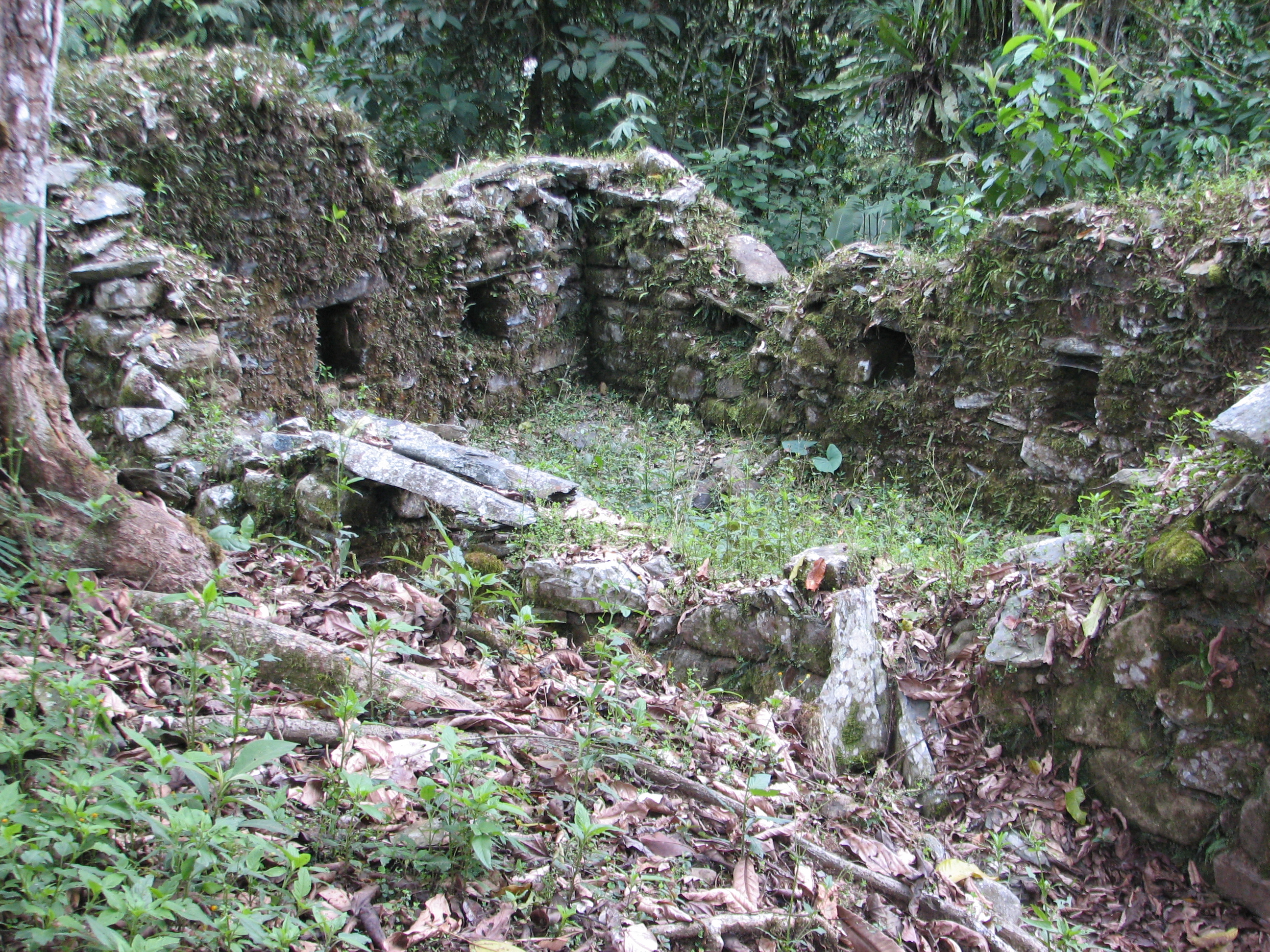
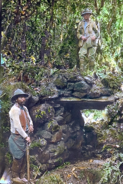
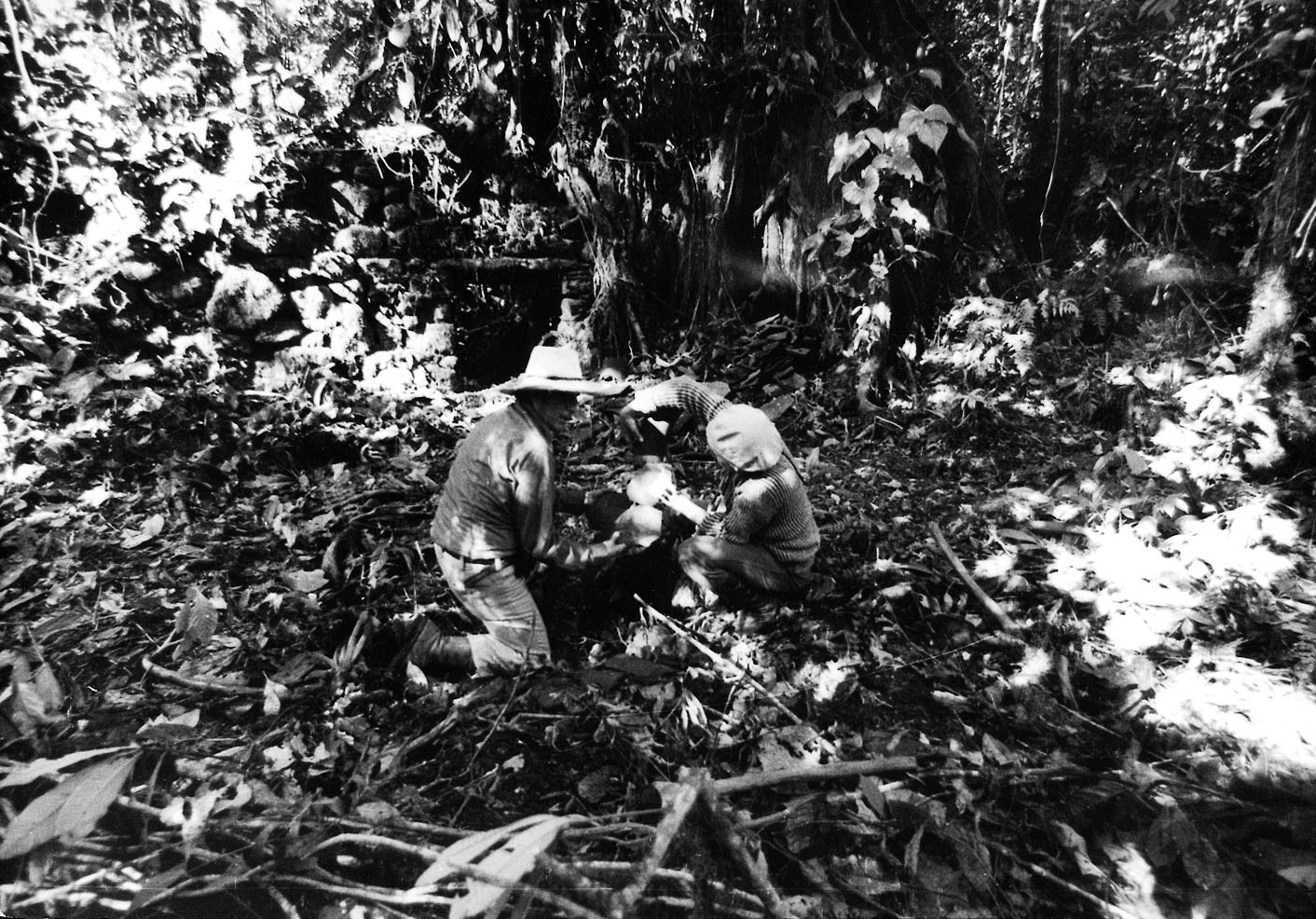
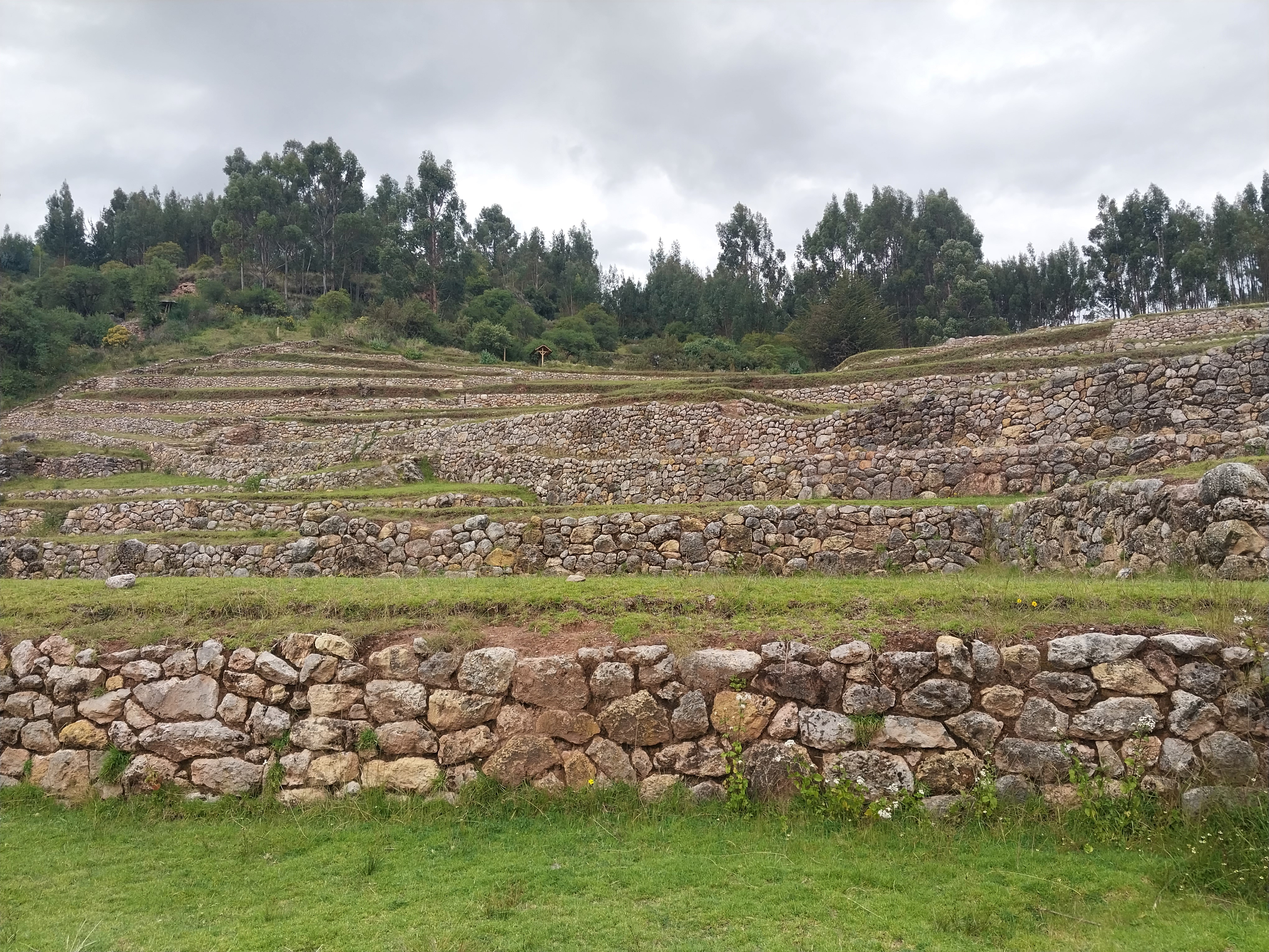
Vilcabamba, also known as Espíritu Pampa, is an archaeological site in the Cuzco Region of Peru, significant as the last stronghold of the Neo-Inca State. The site is characterized by its location in the rugged terrain of the Andes and Amazon Basin, and includes structures such as houses and terraces, indicative of Inca habitation. The site was occupied by the Inca from around 1450 CE and served as the capital of the Neo-Inca State from 1539 CE until its fall to the Spanish in 1572 CE. This site illustrates the last phase of Inca resistance against Spanish conquest, and its rediscovery has provided insights into Inca architecture and their adaptation to remote jungle environments.
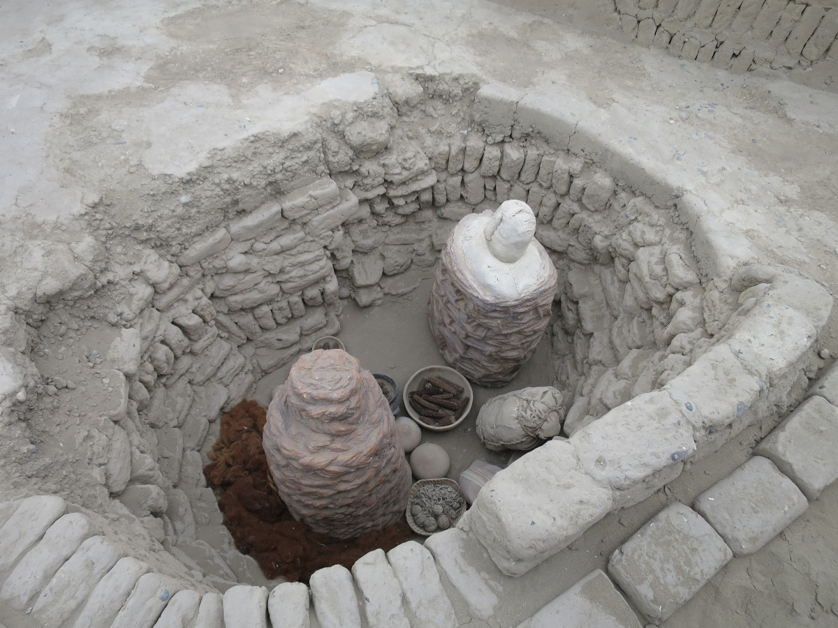
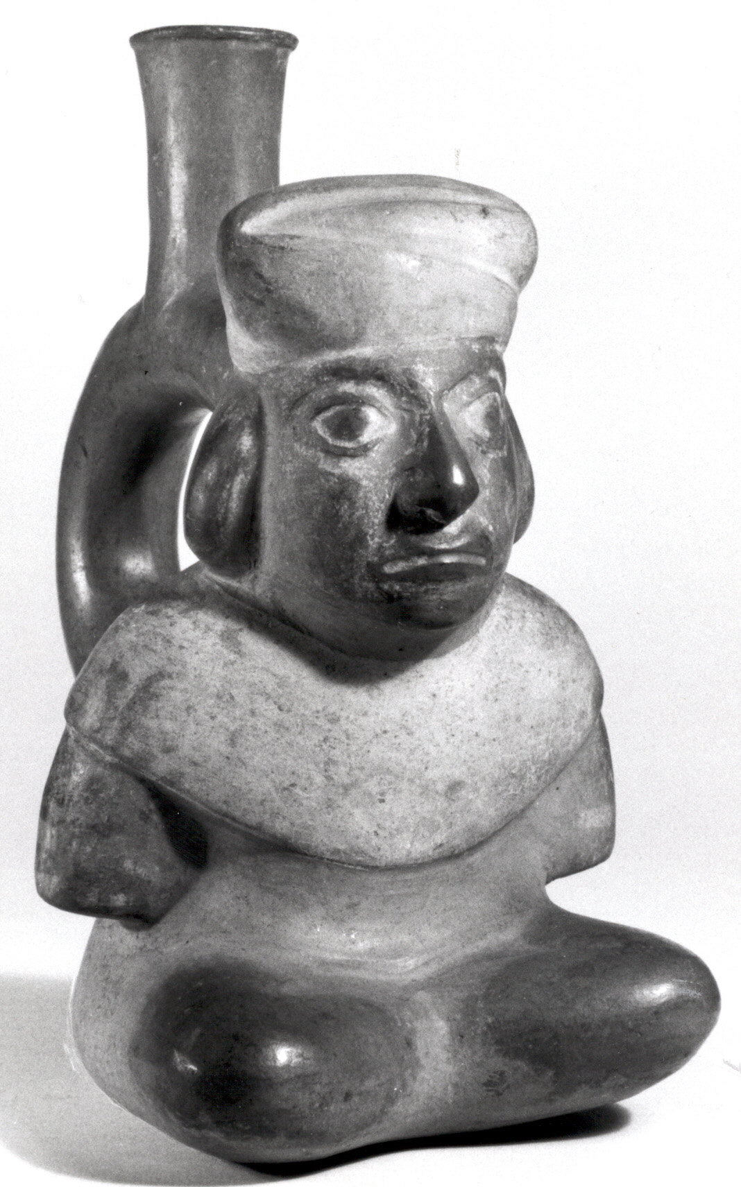
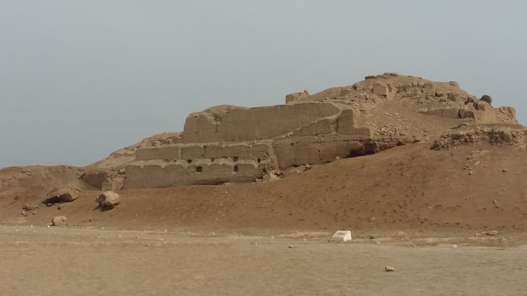
Gallery
Explore photographs of ancient structures, artifacts, and archaeological excavations

Historical Timeline
Journey through time and discover key events in this site's history
Inca Occupation
1450 CE
Neo-Inca State Capital
1539 CE
Spanish Conquest
1572 CE
Archaeological Features
Unique architectural and cultural elements found at this historical site
Burial and Funerary Structures
Agricultural and Land Use Features
Domestic and Habitation Structures
Transportation and Communication Structures
Frequently Asked Questions
Plan Your Visit
Tours, travel arrangements, and practical information
More Sites in Peru

Taqrachullu
Rocky confluence site with cultural heritage.
Huaca del Sol
Largest pre-Columbian adobe pyramid in Peru
Huaca Pucllana
Adobe pyramid with ceremonial and administrative areas
Tunanmarca
Hilltop archaeological site with ancient structures
Inkilltambo
Ancient Peruvian site with cultivated terrain.
La Centinela
Adobe pyramids in Chincha Valley, Peru.