Explore the Map
Russian geoglyph
54.9425° N, 59.1922° E
About
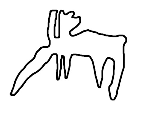
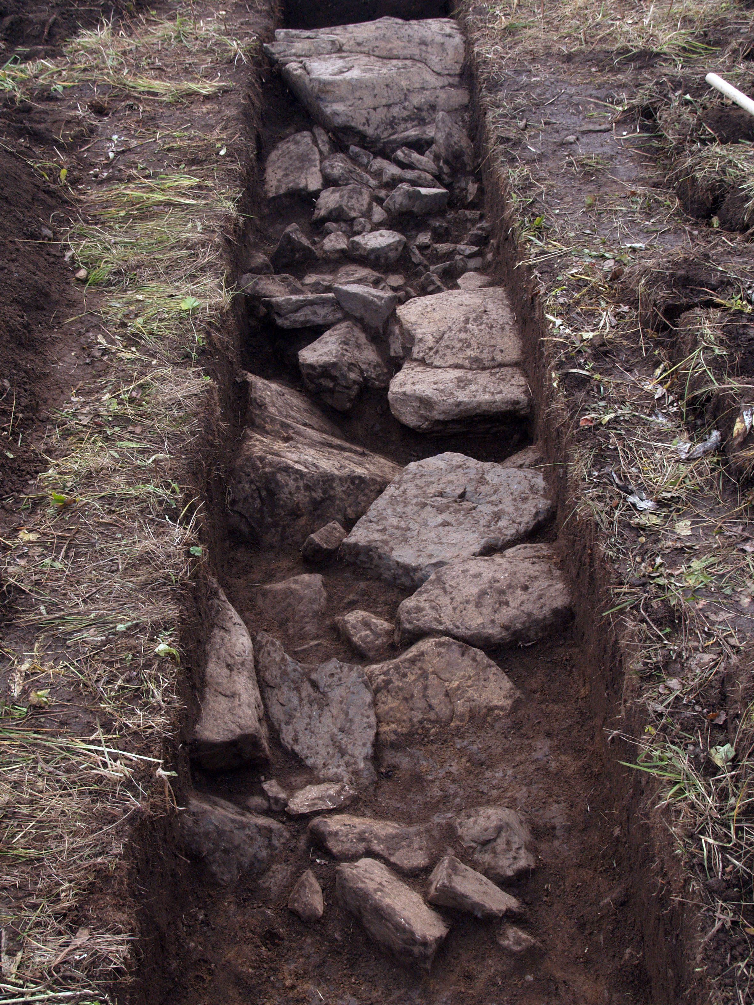
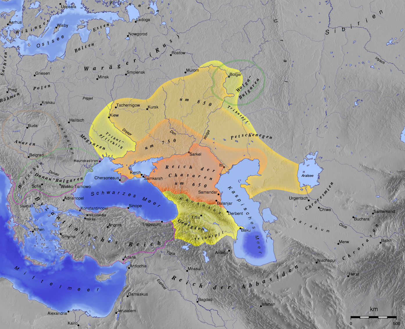
The Russian geoglyph, located on the slopes of the Zyuratkul Mountains in the Chelyabinsk region of Russia, is an impressive example of ancient land art. It depicts the contours of an animal resembling an elk or moose, complete with four legs, two antlers, and a long snout, although its tail may have become obscured over time. Constructed using large stones laid in a trench, the geoglyph measures 195 meters in width and 218 meters in length. It is thought to have been created by a megalithic culture between 4000 and 2000 BCE, placing it among the oldest geoglyphs known, predating the famous Nazca lines. Excavations have revealed small walls and passageways within its structure, and ongoing research aims to refine its dating through pollen core analysis.
Gallery
Explore photographs of ancient structures, artifacts, and archaeological excavations

Historical Timeline
Journey through time and discover key events in this site's history
Construction of geoglyph
4000 BCE to 2000 BCE
Archaeological Features
Unique architectural and cultural elements found at this historical site
Artistic and Decorative Features
Environmental and Natural Features
Frequently Asked Questions
Plan Your Visit
Tours, travel arrangements, and practical information
More Sites in Russia
Bolshoy Oleny Island
Early metal era burial site.
Lyubsha
Early Slavic fortification predating Staraya Ladoga.
Veliky Novgorod
Historic city with medieval structures and artifacts.
Khumar
Khumarinskoye gorodishche (Russian: Хумаринское городище) or Khumar is a ruined medieval fortress on the top of Mount Kalezh above the Kuban Gorge in
Ivolga archaeological site
Xiongnu fortified city in Buryatia, Russia.
Timerevo
Unfortified Scandinavian trade outpost near Volga.