
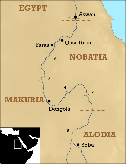
Explore the Map
Faras
22.2000° N, 31.4666° E
About
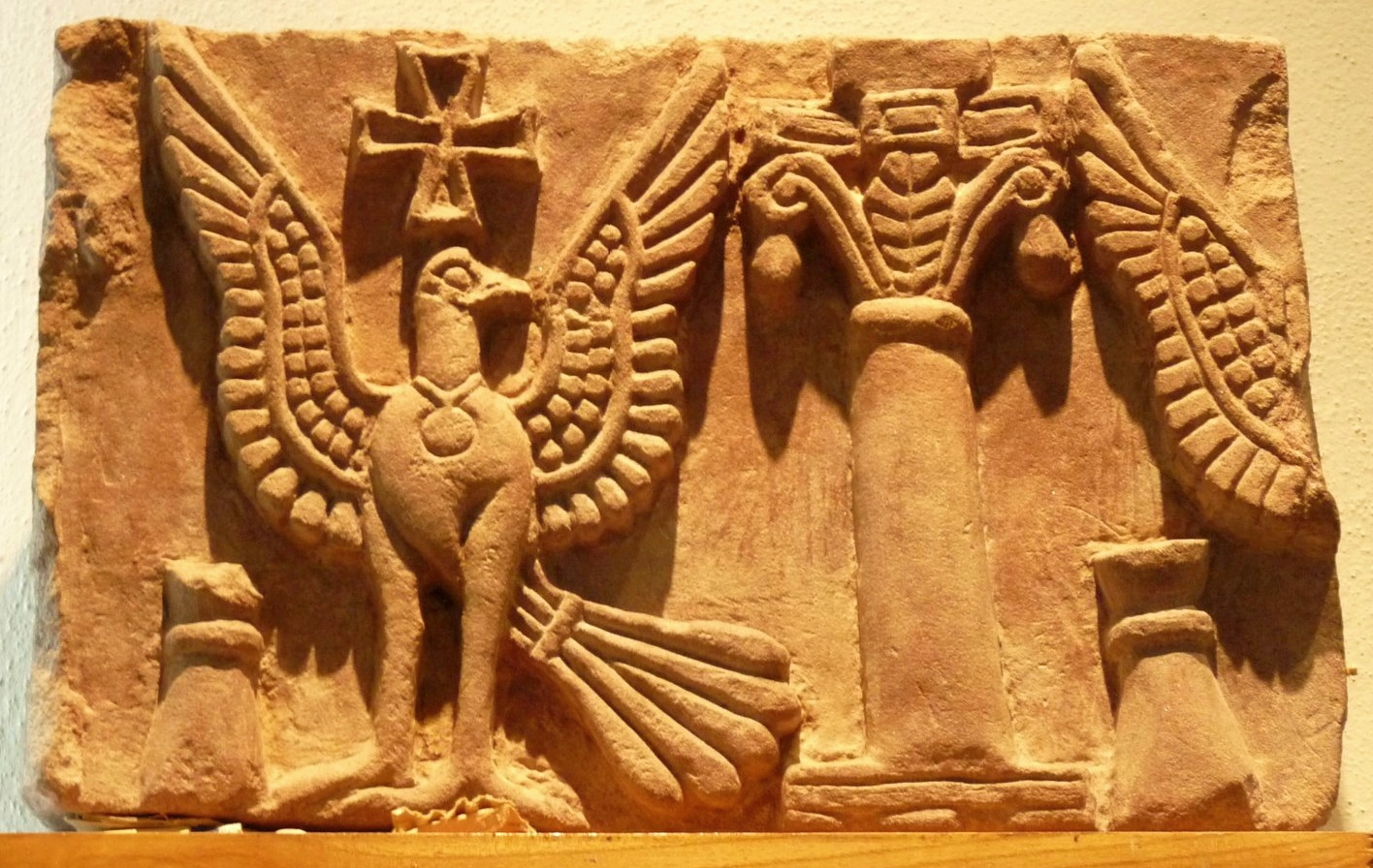
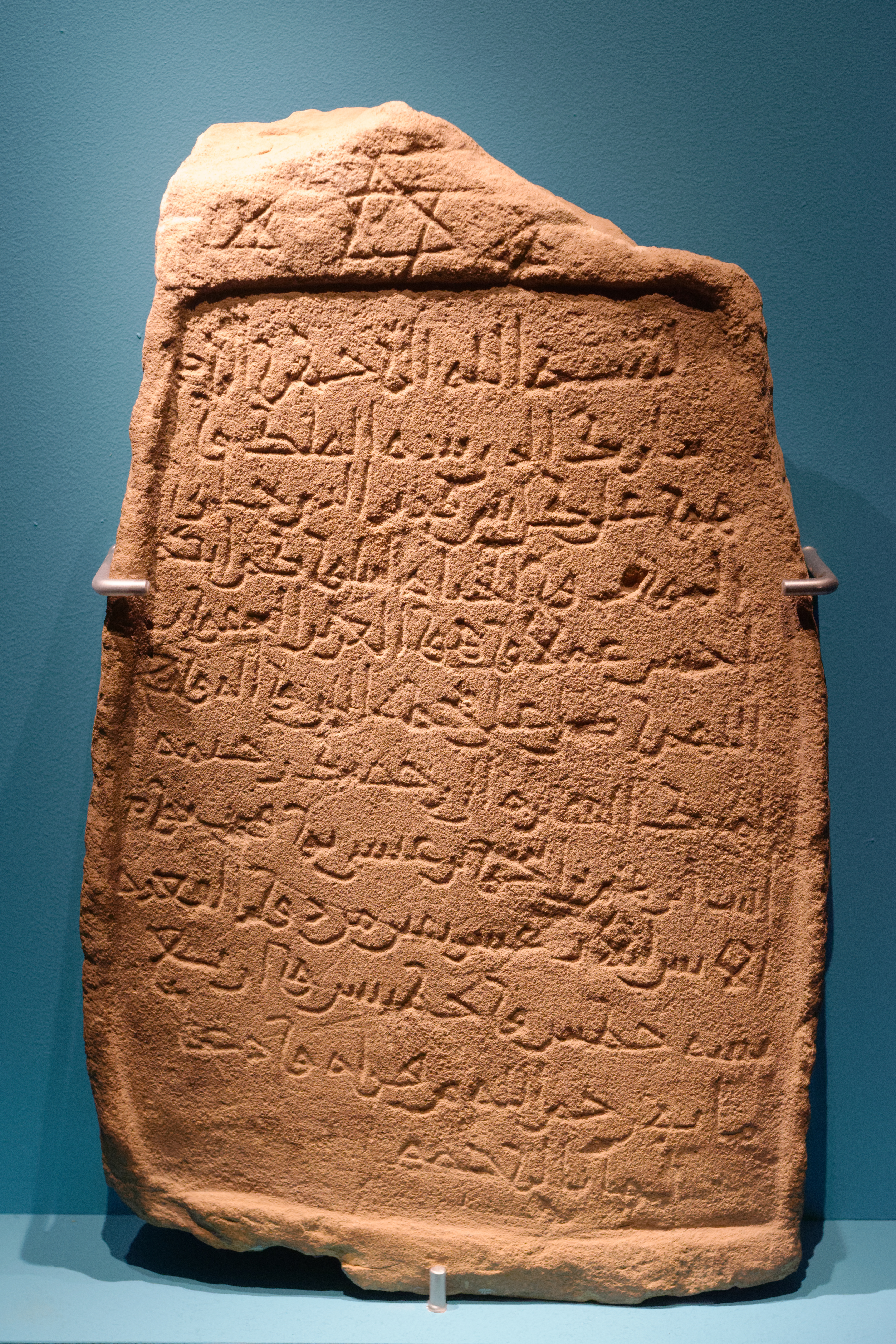
Faras, also known as Pachoras, was a significant archaeological site located in Lower Nubia, straddling the modern borders of Egypt and Sudan. This ancient city, which now lies submerged under Lake Nasser, was a crucial hub during various historical periods, including the Neolithic, Meroitic, and Christian eras. Initially, it served as a center for Egyptian administration and a site of cultural influence. During the Christian period, Faras gained prominence as the capital of the basiliskos Silko of Nobadia, with its most notable feature being a Christian cathedral, founded in 620 CE by Bishop Aetios. The cathedral, known for its remarkable wall paintings, was reconstructed twice, once in the 8th century by Paulos and again in the 10th century by Petros I. These paintings, executed in tempera on dry plaster, are among the best examples of Christian Nubian art. The city's decline began in the Late Post-Classical Period, with its administrative center relocating to Qasr Ibrim.
Gallery
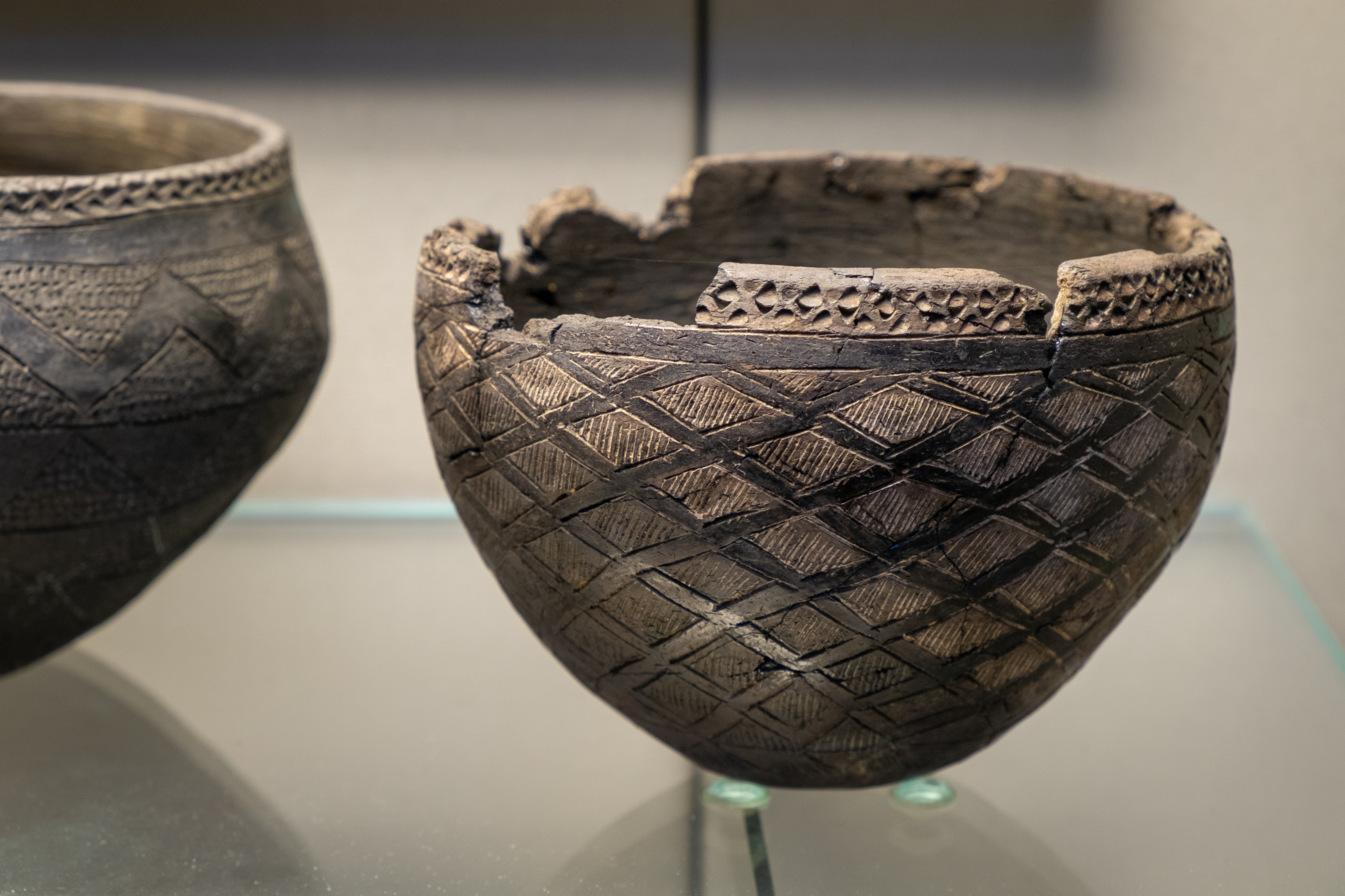
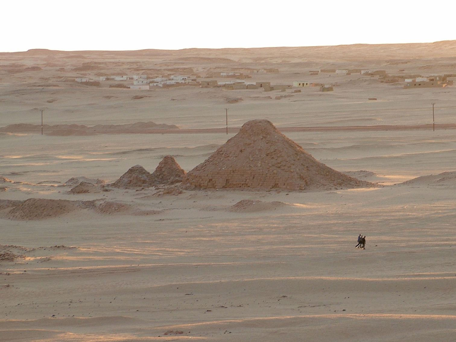
Explore photographs of ancient structures, artifacts, and archaeological excavations
Historical Timeline
Journey through time and discover key events in this site's history
Egyptian Administrative Center
1000 BCE to 1 CE
Major Meroitic Center
300 BCE to 400 CE
Capital of Nobadian Silko
500 CE to 600 CE
Cathedral Founding by Aetios
620 CE
Cathedral Rebuilt by Paulos
700 CE to 800 CE
Cathedral Rebuilt by Petros I
900 CE to 1000 CE
Decline and Center Moved to Qasr Ibrim
14th century CE
Archaeological Features
Unique architectural and cultural elements found at this historical site
Burial and Funerary Structures
Industrial and Craft Structures
Religious and Ritual Structures
Artistic and Decorative Features
Domestic and Habitation Structures
Frequently Asked Questions
Plan Your Visit
Tours, travel arrangements, and practical information
More Sites in Sudan
Jebel Barkal
Mesa with temples and pyramids in Sudan.
Meinarti
Stratified archaeological remains on Nile island
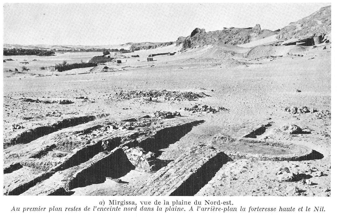
Mirgissa
Fortified Nubian settlement with large fortress.
El-Kurru
Nubian pyramids and tombs in Sudan
El-Hobagi
Post-Meroitic tumuli with weapons and vessels
Zuma, Sudan
Ancient tumuli field with distinct grave types.