Explore the Map
Gueldaman caves
36.4500° N, 4.5500° E
About
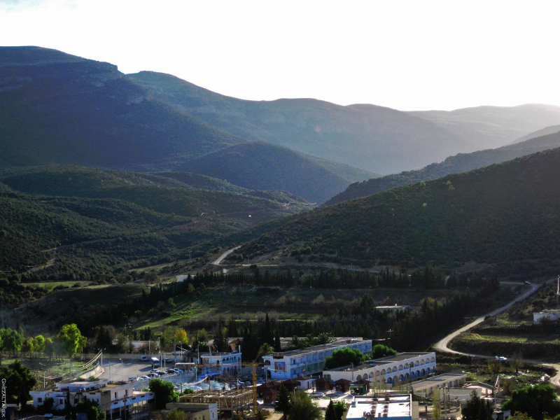
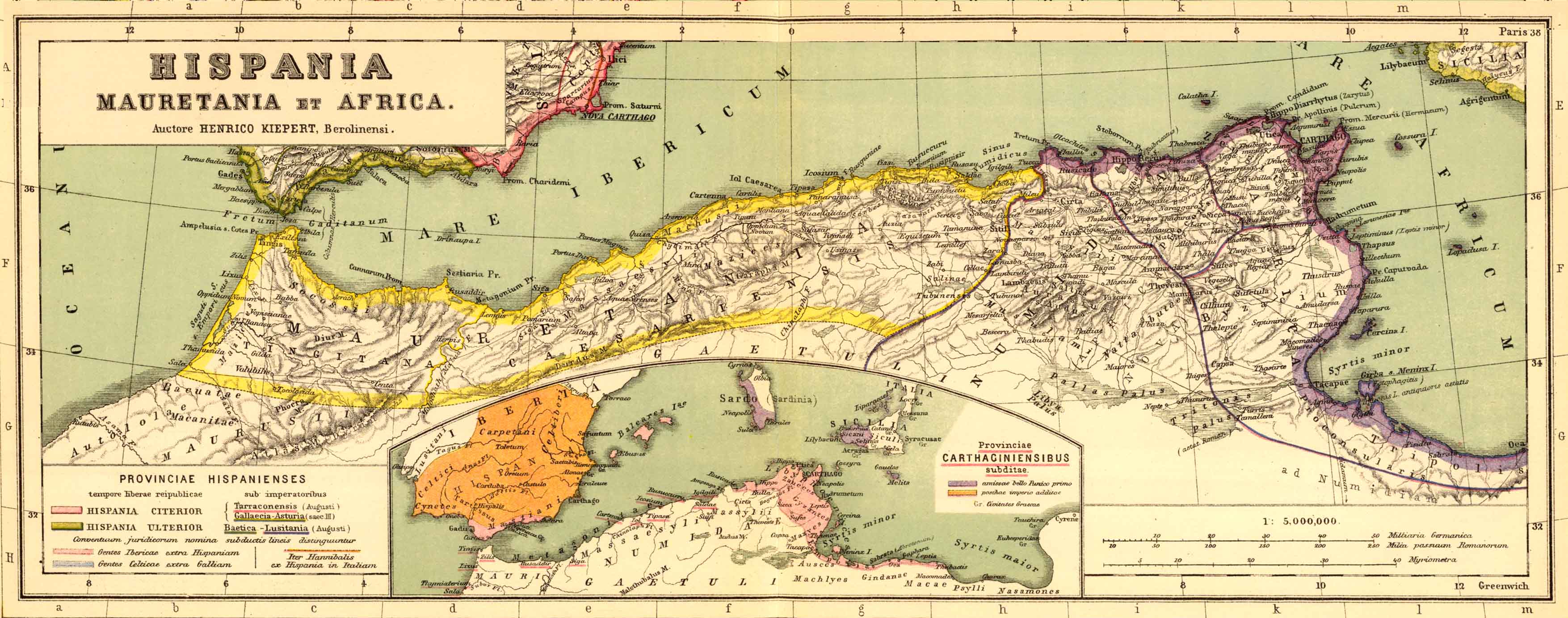
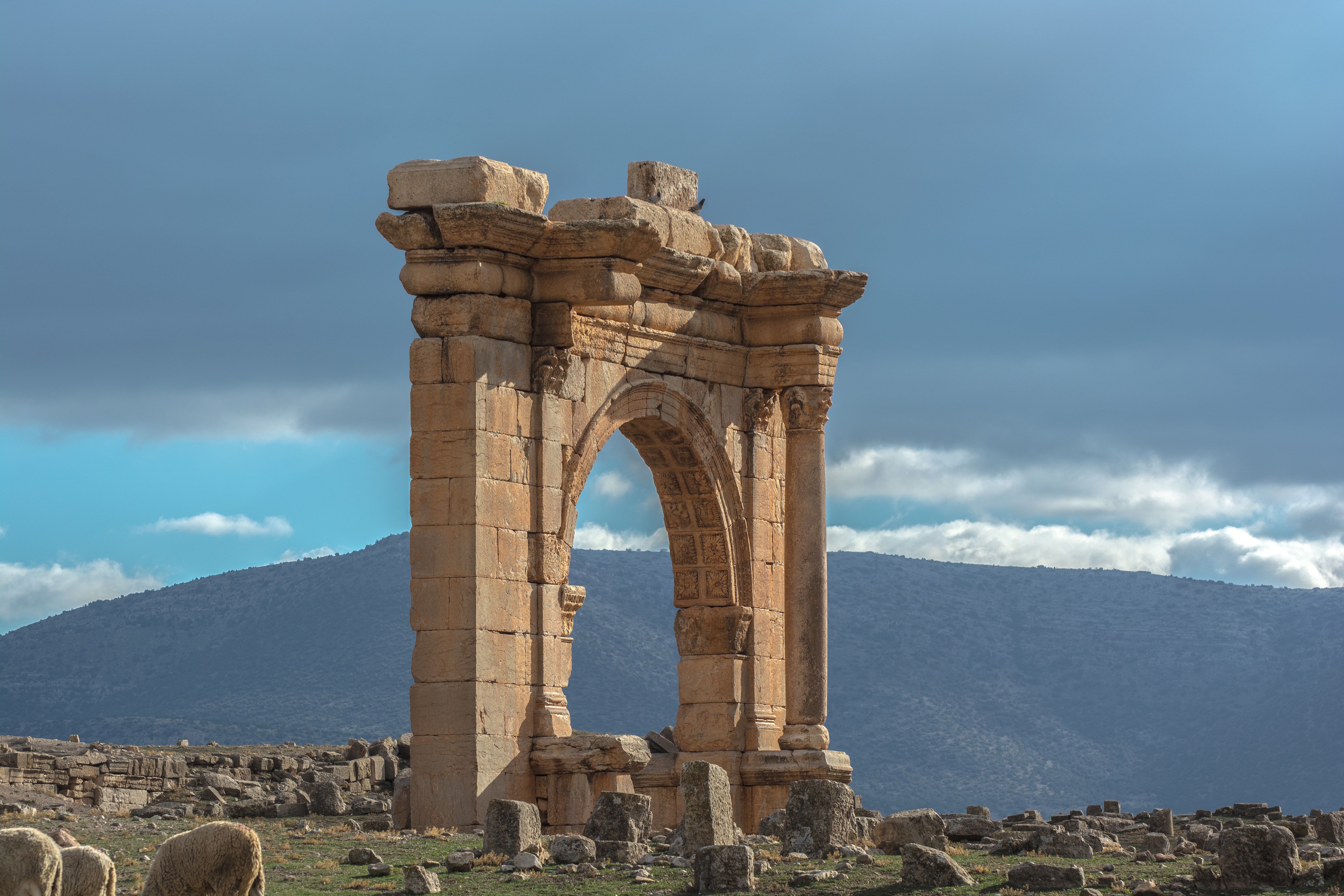
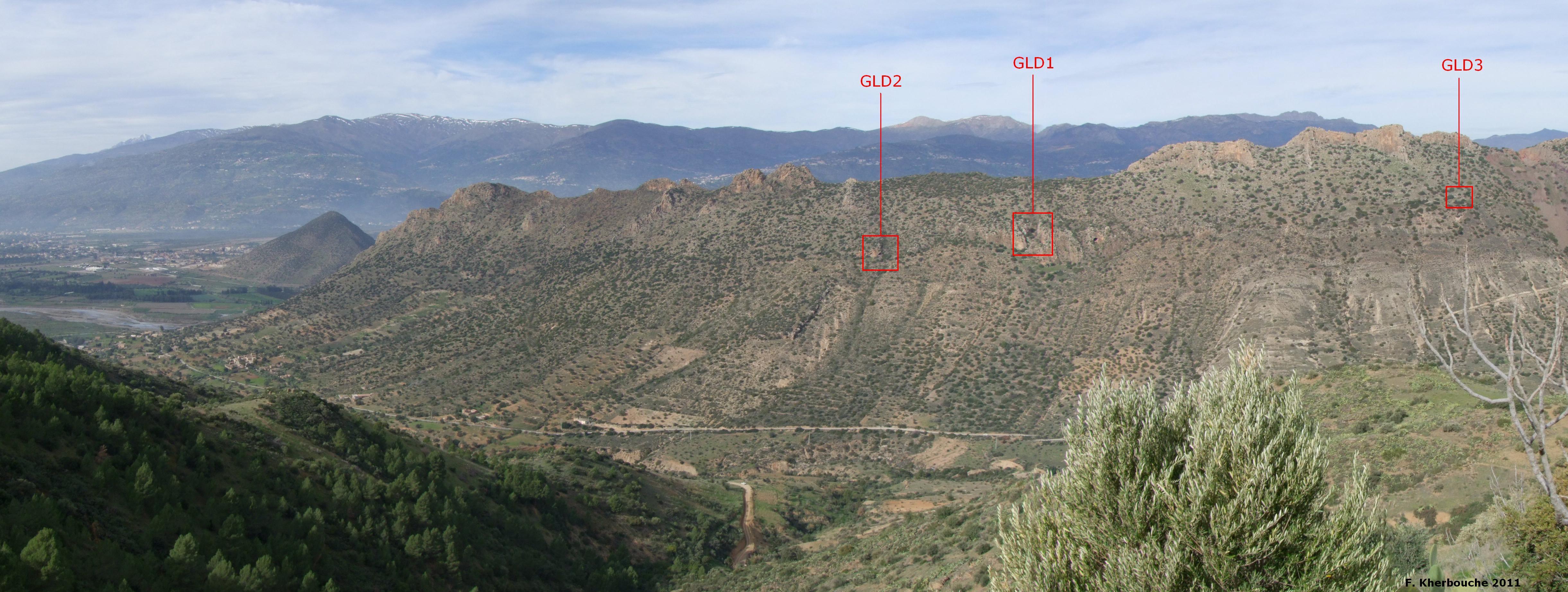
The Gueldaman caves, located in the Adrar Gueldaman mountain ridge of Algeria, represent a significant archaeological site due to their extensive prehistoric habitation. This karst landscape features multiple natural caves, notably GLD1, which have yielded a wealth of Neolithic artifacts, such as polished stone tools and evidence of early agriculture, particularly sheep and goat domestication. The deposits, spanning over 5 meters deep, contain well-preserved remains including ceramics, lithic tools, and ornaments, indicative of long-distance trade. The caves offer insights into the Neolithisation process in North Africa and reflect a shift from hunter-gatherer communities to more settled agricultural practices. The site's abandonment around 2200 BCE is linked to a severe climate anomaly, a prolonged drought, which significantly disrupted local cultures. Ongoing research aims to further understand the cultural transitions within this region.
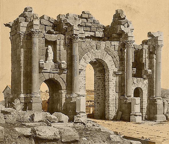
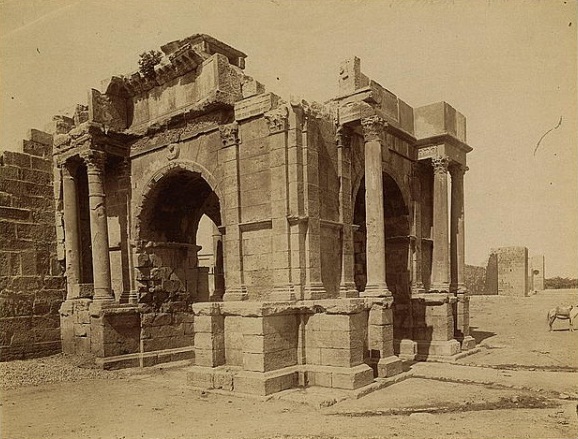
Gallery
Explore photographs of ancient structures, artifacts, and archaeological excavations
Historical Timeline
Journey through time and discover key events in this site's history
Early Neolithic Occupation
6000 BCE
Abandonment Due to Drought
2200 BCE
Later Human Occupation
1484 CE
Archaeological Features
Unique architectural and cultural elements found at this historical site
Domestic and Habitation Structures
Environmental and Natural Features
Frequently Asked Questions
Plan Your Visit
Tours, travel arrangements, and practical information