
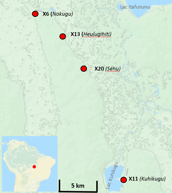
Explore the Map
Kuhikugu
-12.5583° N, -53.1111° E
About
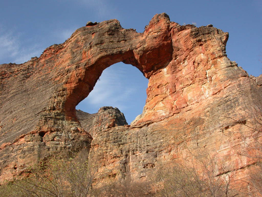
Kuhikugu, nestled within the Amazon Rainforest at the headwaters of the Xingu River, is a remarkable archaeological complex encompassing around 20 towns and villages. The site is significant for its extensive planning and infrastructure that includes horizontal monuments, defensive moats and ditches, and an intricate network of roads and bridges. These features suggest a sophisticated society capable of supporting a population of up to 50,000 people. Inhabited for approximately a millennium, Kuhikugu's civilization experienced a decline likely caused by diseases introduced by Europeans, leading to its abandonment. Today, the site remains an important testament to the complex societies that flourished in the Amazon prior to European contact.
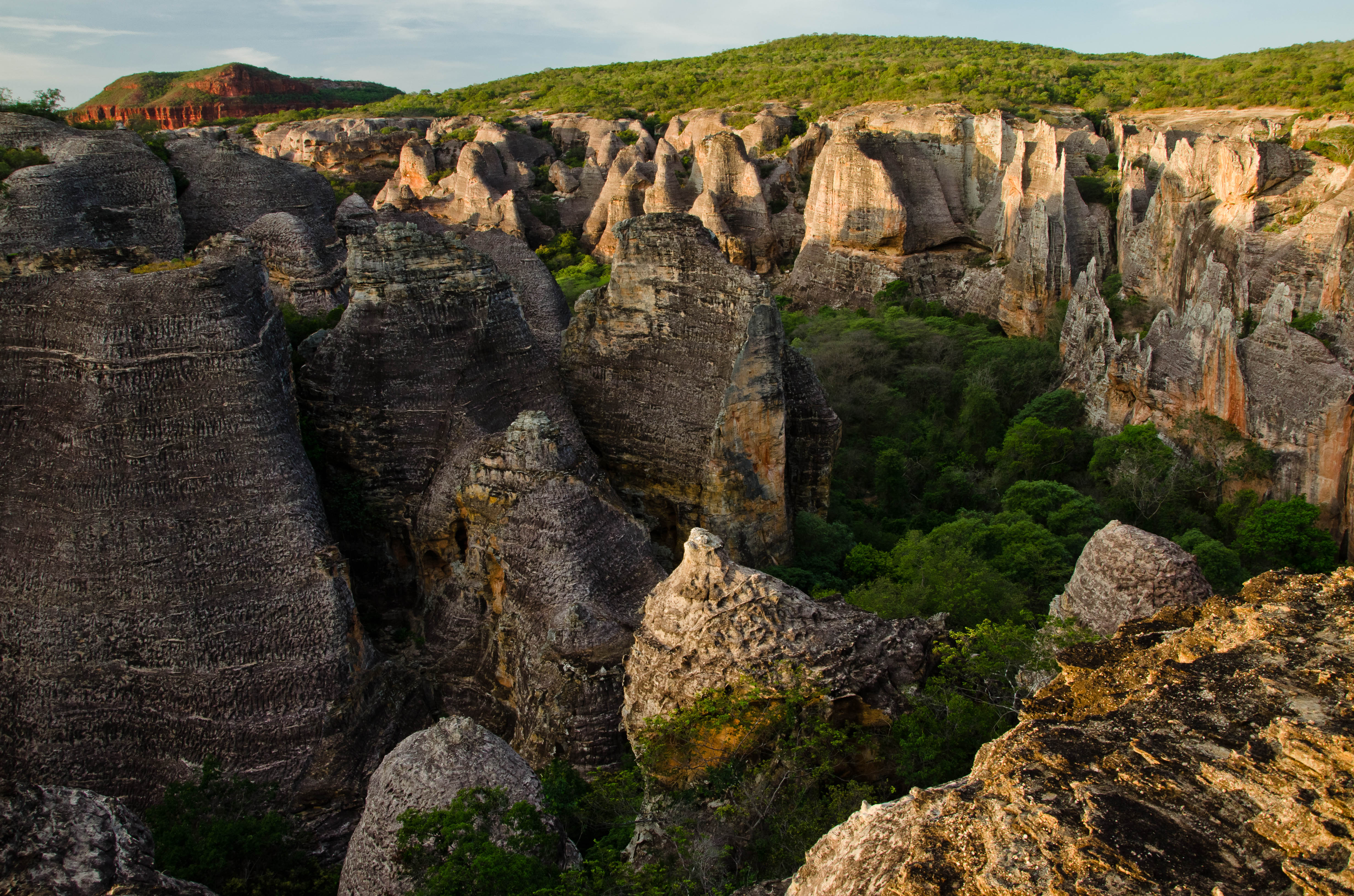
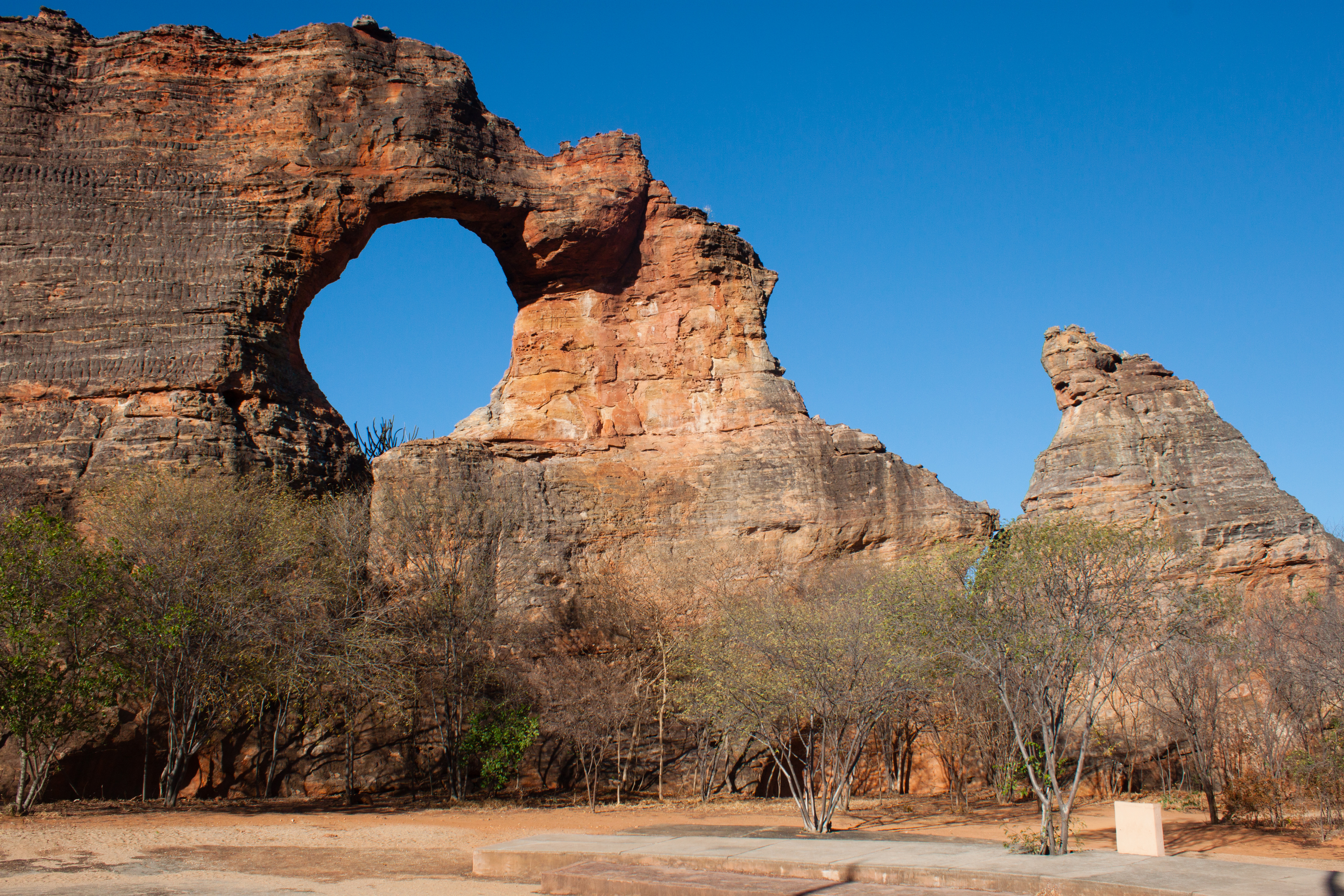
Gallery
Explore photographs of ancient structures, artifacts, and archaeological excavations

Historical Timeline
Journey through time and discover key events in this site's history
Inhabitation Begins
500 CE
Population Peak
1000 CE
Decline Due to Disease
1600 CE
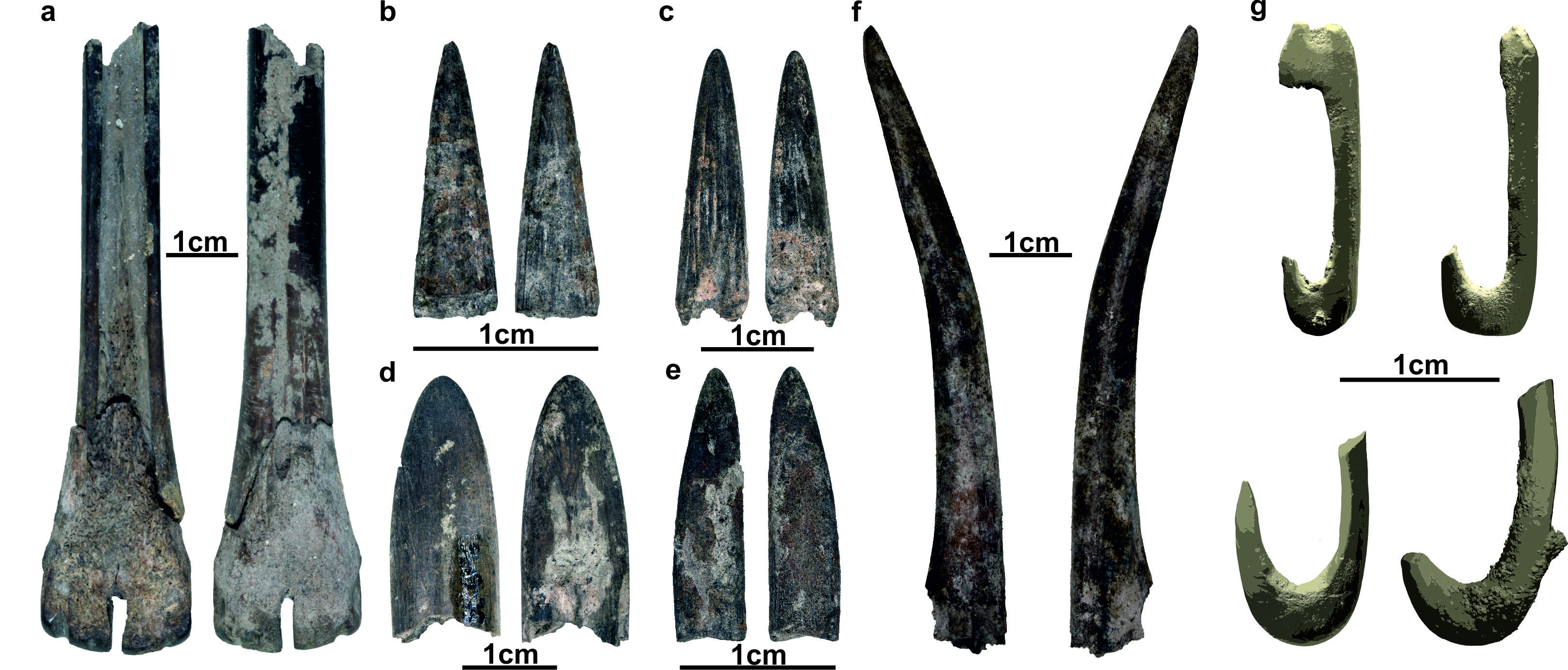
Archaeological Features
Unique architectural and cultural elements found at this historical site
Defensive Structures
Water Management Features
Public and Civic Structures
Religious and Ritual Structures
Agricultural and Land Use Features
Domestic and Habitation Structures
Transportation and Communication Structures
Frequently Asked Questions
Plan Your Visit
Tours, travel arrangements, and practical information
More Sites in Brazil
Serra da Capivara National Park
Prehistoric rock shelters with ancient paintings
Parque Arqueológico do Solstício
Megalithic stone circle in Amapá, Brazil
Valongo Wharf
19th-century wharf for slave trade operations
Toca da Tira Peia
Rock shelter with ancient human artifacts.
Pedra Furada
Ancient rock shelters with early human artifacts.
Lapa do Santo
Karstic rockshelter with burial and rock art