Explore the Map
Zawyet Umm El Rakham
31.4000° N, 27.0258° E
About
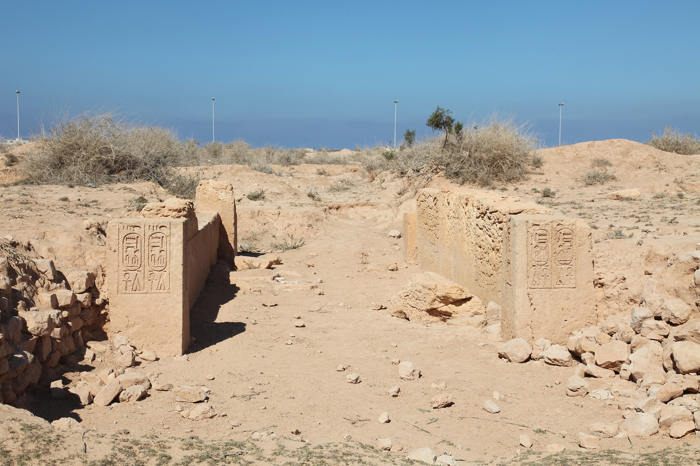
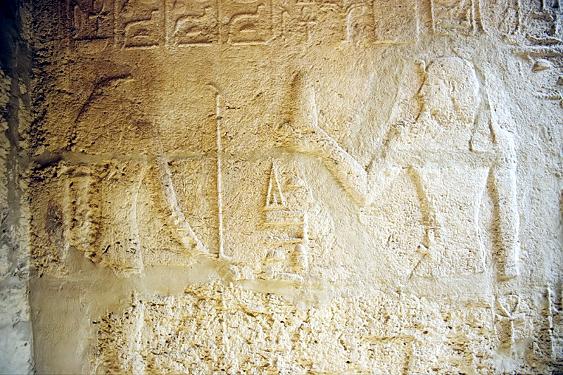
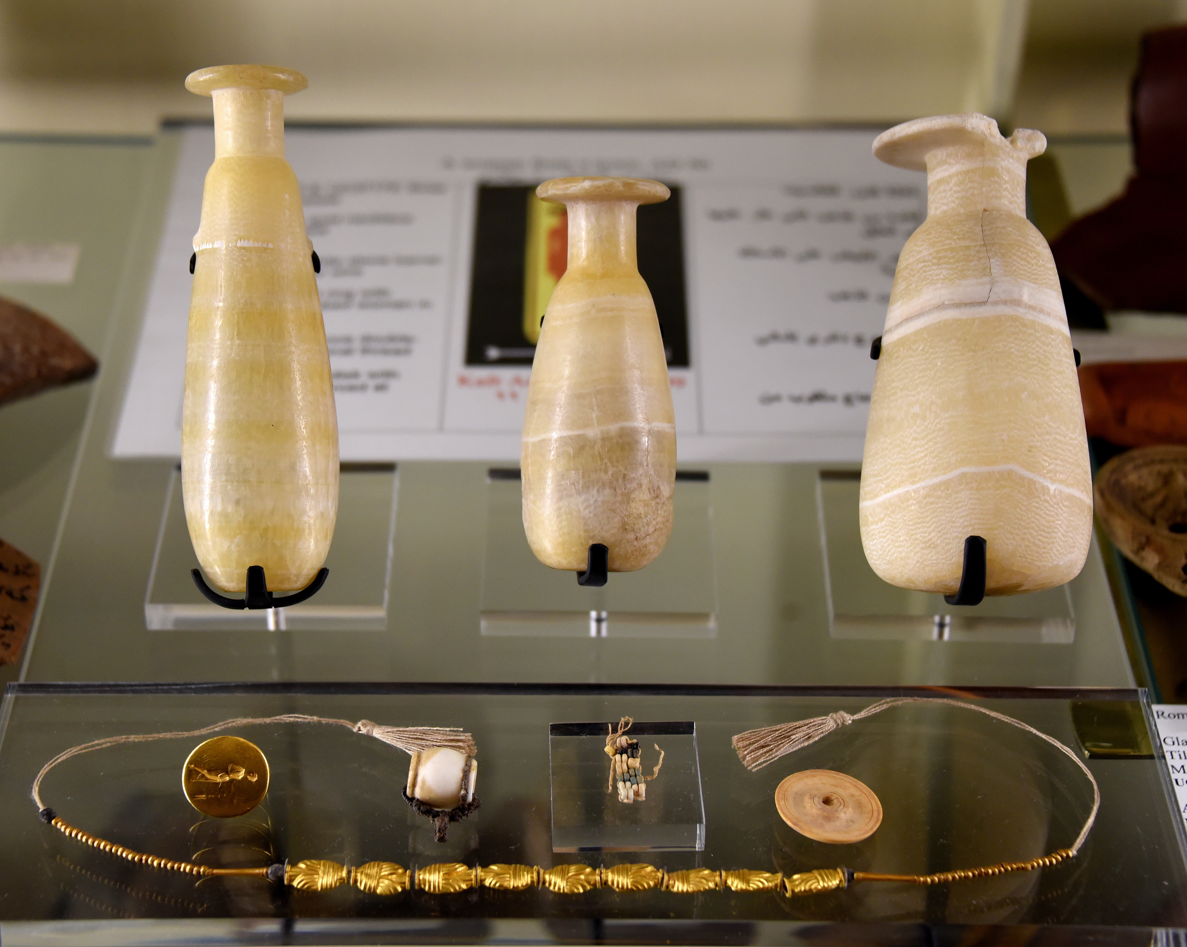
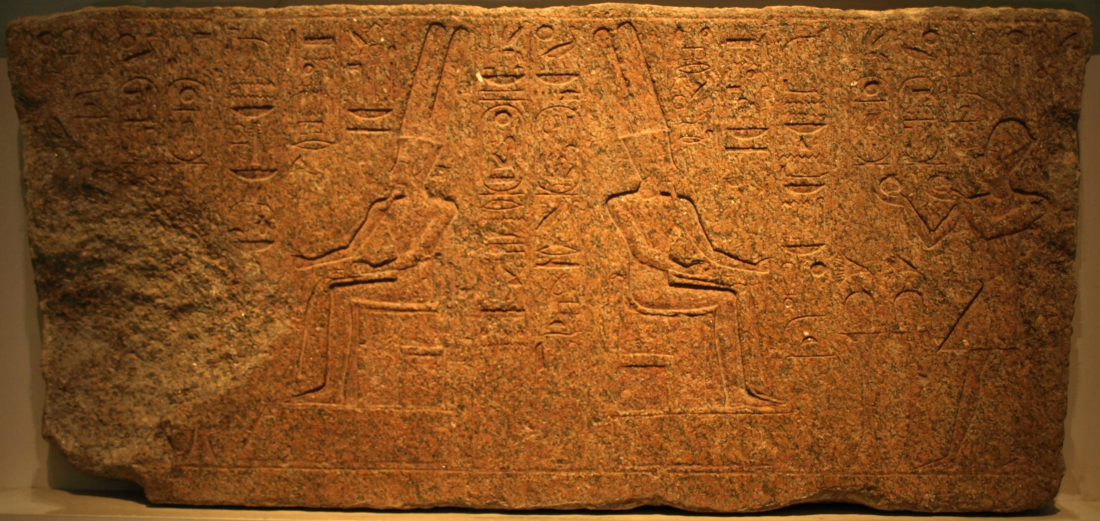
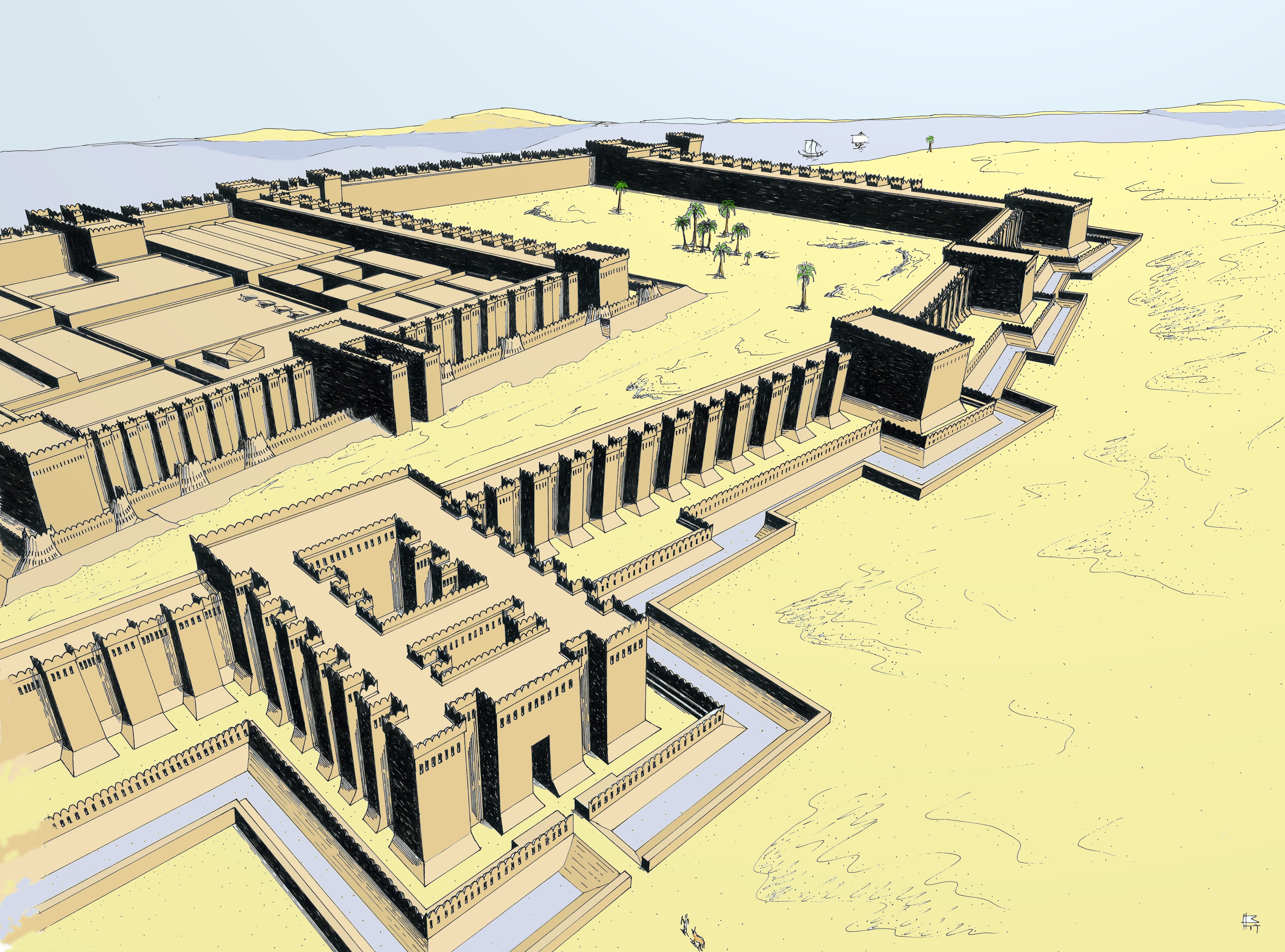
Zawyet Umm El Rakham is an archaeological site located on the North coast of Egypt, approximately 20 km west of Marsa Matruh. It dates back to the reign of Ramesses II, during the 13th century BCE, when it served as a major fortress-town. This site is significant for marking the western extent of direct Egyptian influence during the Late Bronze Age. The fortress was strategically positioned to oversee and perhaps control the surrounding region. Excavations led by the University of Liverpool have revealed the fortress's defensive structures, offering insights into the military and political strategies of ancient Egypt. The site's findings contribute to understanding Egypt's territorial reach and interactions with neighboring regions during Ramesses II's era.
Gallery
Explore photographs of ancient structures, artifacts, and archaeological excavations
Historical Timeline
Journey through time and discover key events in this site's history
Ramesses II's Fortress Construction
1279 BCE
Archaeological Features
Unique architectural and cultural elements found at this historical site
Defensive Structures
Frequently Asked Questions
Plan Your Visit
Tours, travel arrangements, and practical information
More Sites in Egypt

Leontopolis (Heliopolis)
Ancient city with fortifications and a temple.
Medinet Madi
Greco-Roman town with Middle Kingdom temple
Tarkhan (Egypt)
Ancient Egyptian necropolis with mastabas and tombs.
Bubastis
Ancient Egyptian city with Bastet temple
Buhen
Ancient Egyptian fortress with copper smelting.
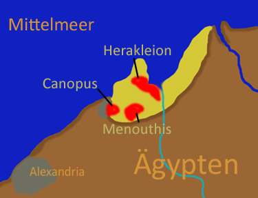
Canopus, Egypt
Submerged ancient Egyptian coastal town ruins